Mori Atlas logo
Park earthquake history

A chronological catalogue of seismic events associated by proximity to this protected coastal landscape

Recorded Earthquake History and Seismic Records Near Duinen van Texel National Park in North Holland

Review an organized collection of historical earthquake records identified within the geographic vicinity of Duinen van Texel National Park. The data includes documented event dates, measured magnitudes, and calculated distances from this protected coastal terrain. These entries provide a transparent look at recorded seismic history in the North Holland region, facilitating deeper understanding of the local geological context without interpreting hazard or predicting future activity.

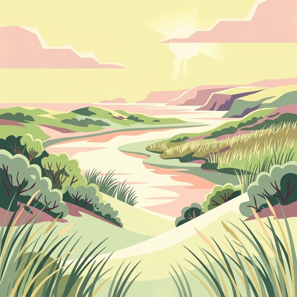
Stylized illustration of sandy dunes, green vegetation, and a winding river under a sunset sky

Coastal dune wilderness on Texel island with rich birdlife and unique wetland habitats

Duinen van Texel National Park

Duinen van Texel National Park is a protected coastal landscape on the Dutch island of Texel in North Holland, established in 2002. The park encompasses the dramatic dune systems along the western coast of the island along with the expansive coastal plains at both the northern and southern tips. Covering approximately 43 square kilometers, this dynamic landscape features active dune formation, wet dune valleys, salt marshes, and freshwater wetlands that support exceptional biodiversity. The park is jointly managed by Staatsbosbeheer and the Dutch Ministry of Defence, with the visitor center located at the natural history museum Ecomare. The area holds Ramsar wetland designation and forms part of the Natura 2000 European ecological network, reflecting its international significance for conservation.

Location
Netherlands
Park type
National park
Established
2002
Area
43 km²
Duinen van Texel National Park Atlas

Explore Duinen van Texel National Park records by date, depth, and distance

Review the earthquake catalogue around Duinen van Texel National Park

For Duinen van Texel National Park, earthquakes enter the catalogue through epicentres and distance rather than verified placement inside the park. Dates, magnitudes, depths, places, distance readings, and cited sources support historical assessment without connecting the landscape to seismic cause, claiming a current threat, or projecting future activity.

Sort by
Magnitude
Location

This page describes catalogued earthquakes associated with the park by epicentre location and distance. It does not establish causation, assess current danger, or predict future earthquakes.

No earthquake records match the current filters

Park atlas

Expand past Duinen van Texel National Park earthquake history

Browse further parks after Duinen van Texel National Park

Beyond the earthquake records for Duinen van Texel National Park, the atlas presents a separately chosen collection of protected destinations. These links do not indicate shared park designation, landscape, earthquake observations, geology, proximity, seismic relevance, hazards, risk, or equally extensive records.
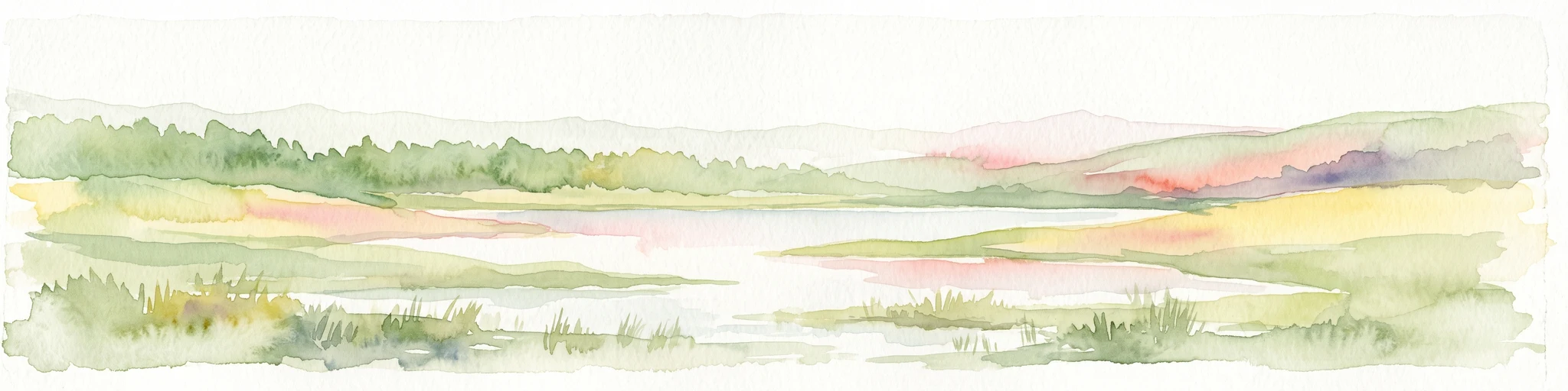
A watercolor landscape painting of a calm, shallow body of water surrounded by grassy, low-lying shores and soft, distant hills under a pale, white sky.
Protected areaNetherlands
19 km away#1 closest

Southeast

IJsselmeer: Geography and Protected Wetland Mapping of the Netherlands

Engineered freshwater landscapes and polder geography

The IJsselmeer acts as the central freshwater reservoir for the Netherlands, providing a expansive, horizon-dominated landscape shaped by the Afsluitdijk. As an internationally recognized wetland, it supports diverse waterbird populations within its intricate system of dikes, former tidal channels, and emerging nature islands. This protected area stands as a definitive example of large-scale, adaptive hydraulic management in a low-lying coastal nation.

Area
1,133 km²
Established
1932
Relief
Lowland
Climate
Temperate
National parkFlevoland
49 km away#2 closest

Southeast

Nieuw Land National Park: Mapped Wetland Landscape on Flevoland's Reclaimed Land

Protected area geography and ecological discovery in the Netherlands

Nieuw Land National Park offers a distinctive protected landscape forged on land recently reclaimed from the sea in the Dutch province of Flevoland. This national park is characterized by its vast expanse of wetlands, artificial islands like the Marker Wadden, and critical importance for migratory bird populations. Delve into the park's geographic context and mapped features to understand its unique conservation value and role within the wider European atlas of protected areas.

Area
289 km²
Established
2018
IUCN
II
Relief
Lowland
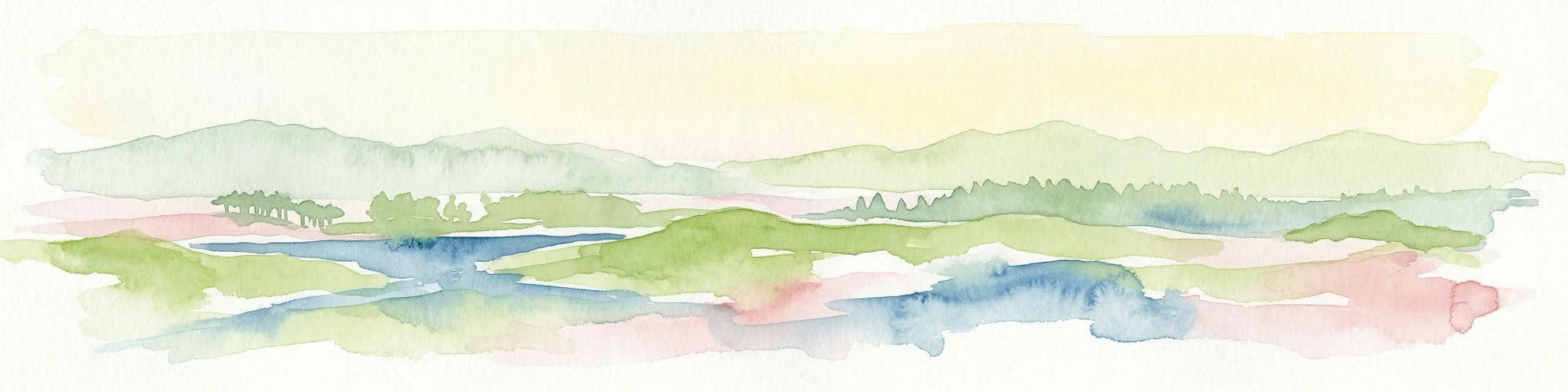
Watercolor depiction of rolling coastal dunes, blue waterways, green vegetation, and distant hills under a light sky
National parkNorth Holland
59 km away#3 closest

South

Zuid-Kennemerland National Park: Coastal Dune Protected Landscape in North Holland

Explore its unique mapped terrain and protected area geography.

Zuid-Kennemerland National Park showcases a remarkable coastal dune ecosystem situated in the North Holland province. This national park entry provides detailed insight into its protected landscape, from calcium-rich dune soils supporting rare flora to ancient woodlands and extensive walking trails. Users can explore the park's mapped boundaries, understand its geographic setting within the Netherlands, and appreciate its significance as a conservation area. Discover the natural terrain and ecological richness that characterize this important Dutch protected land.

Area
38 km²
Established
1995
IUCN
II
Visitors
1.8M annual
A watercolor painting depicting a landscape with marshes, lakes, forests, and meadows
National parkFriesland
66 km away#4 closest

East

De Alde Feanen National Park: Explore Friesland's Historic Peat Bog Landscape

Protected wetland terrain and abundant birdlife in the Netherlands.

Delve into the intricate mapped geography of De Alde Feanen National Park, a national park renowned for its exceptional lowland peat bog ecosystem. This protected area in Friesland showcases a unique terrain comprising shallow lakes, reed beds, and historic peat extraction pools, offering significant ecological and cultural value. The park's landscape provides vital habitats and serves as a testament to the region's long history of human engagement with wetland environments, making it a key destination for atlas-driven geographic discovery.

Area
25 km²
Established
2006
IUCN
II
Relief
Lowland
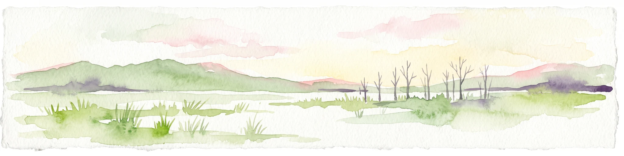
A horizontal watercolor painting depicting a wetland landscape with grassy foreground, bare skeletal trees, and rolling green hills under a soft, pale sky.
Nature reserveFlevoland
70 km away#5 closest

Southeast

Oostvaardersplassen Nature Reserve: Mapped Geography and Protected Area Context

Explore the marshland and polder terrain in Flevoland, Netherlands

Oostvaardersplassen represents a landmark in modern Dutch conservation, covering a 5,600-hectare mosaic of mudflats, reed beds, and willow thickets. This nature reserve, located between Almere and Lelystad, demonstrates the evolution of a young reclaimed landscape. It provides an essential habitat for marsh birds and large herbivores within the Nationaal Park Nieuw Land region, offering a distinct study in polder-based ecological management and wetland geography.

Area
56 km²
Established
1974
Relief
Lowland
Climate
Temperate
Nature reserveFlevoland
71 km away#6 closest

South

Lepelaarplassen Nature Reserve: Protected Polder Wetlands and Marshland Geography

Ecologically significant wetland habitats in Flevoland

Lepelaarplassen is a protected wetland reserve situated on the edge of the young Flevoland polder. Featuring a blend of excavated lakes, willow marshes, and expansive reed fringes, the area provides essential habitat for colonial breeding birds and migratory species. This detailed look covers the landscape structure and regional geography of one of the most vital wetland zones along the Oostvaardersdijk.

Area
5 km²
Established
1971
Relief
Lowland
Access
Moderate access
Protected areaFlevoland
73 km away#7 closest

Southeast

Ketelmeer & Vossemeer: Protected Area Geography, Boundaries, and Landscape Context

Mapping freshwater lake dynamics in the Flevoland and Overijssel border region.

Ketelmeer & Vossemeer constitutes a significant Natura 2000 wetland complex where riverine floodplains meet engineered polder landscapes. This analysis provides insights into the site's role as a critical Important Bird Area and its position within the broader IJssel delta network of lakes and water channels.

Area
38.43 km²
Established
2013
Relief
Lowland
Climate
Temperate
Nature reserveFlevoland
75 km away#8 closest

South

Markermeer & IJmeer Nature Reserve: Mapping Dutch Freshwater and Polder Landscapes

A vast protected lake system shaped by historic water engineering

Spanning the distance between Flevoland and North Holland, Markermeer & IJmeer represents a significant freshwater protected area. The landscape features large lake basins framed by dike systems and recent island developments, offering a prime example of Dutch wetland geography and managed water ecosystems.

Area
79.553 km²
Established
2009
Relief
Lowland
Climate
Temperate
MoriAtlas Explorer

Continue your Protected Landscape Discovery for Duinen van Texel National Park

Deepen your understanding of Duinen van Texel National Park by exploring its detailed mapped boundaries and unique geographic features. MoriAtlas provides structured context for its protected dune systems and wetland habitats, allowing for a richer appreciation of this North Holland natural area. Discover how its landscape relates to the broader regional geography and its significance as a key protected area.

Global natural geography