
Mori Atlas logo
Park earthquake history

Review documented tremors, event magnitudes, and epicentre distances in the Palatinate region.

Recorded Seismic Activity and Historical Earthquake Data for Dürkheimer Bruch

This archival collection provides a structured look at historical earthquake records associated by proximity with Dürkheimer Bruch. The data features recorded dates, seismic magnitudes, and measured focal depths for events identified within the surrounding regional landscape. Each entry includes calculated epicentre distances to provide geographic context for seismic events recorded near this protected nature reserve.

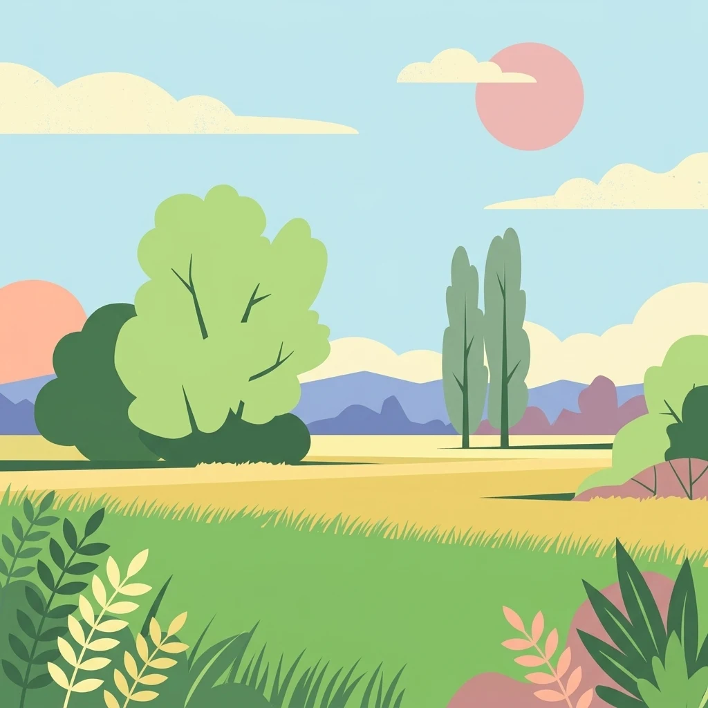
A flat, stylized illustration of a peaceful rural landscape with rolling green hills, tall trees, and a soft-colored sky with a pale pink sun.

A small, ecologically rich lowland wetland northeast of Bad Dürkheim, shaped by the Isenach stream and unusual salt meadows.

Dürkheimer Bruch

Dürkheimer Bruch is a small but ecologically significant protected landscape in the eastern Palatinate region of Rhineland-Palatinate, Germany. It lies northeast of the spa town of Bad Dürkheim and is officially designated as an FFH area (a European Fauna-Flora-Habitat site), confirmed by the European Union in 2005. The area is a mosaic of alternating wet meadows, small flowing streams, hedgerows, shrubs, and scattered tree groups, with the Isenach stream flowing through it. A particularly unusual feature for inland Germany is the presence of salt meadows, which give the site its distinctive ecological character. Much of the area also falls within the Haardtrand European Bird Protection Area, reinforcing its importance for rare bird species. Despite its small size of just under 7 square kilometers, Dürkheimer Bruch is valued as a refuge for protected birds and butterflies, as well as for amphibians and reptiles tied to its mosaic of wet and dry habitats. It is both a Natura 2000 site and part of a broader landscape protection area, making it a notable node in the regional network of protected natural spaces around Bad Dürkheim.

Location
Germany
Park type
Nature reserve
Established
2005
Area
7 km²
Explore Dürkheimer Bruch Nature Reserve

Filter Dürkheimer Bruch events by date, magnitude, depth, and distance

Search historical earthquake observations around Dürkheimer Bruch

Dürkheimer Bruch is associated with earthquake observations through their epicentres and measured distance from the protected place, not boundary confirmation. The catalogue records dates, magnitudes, depths, locations, distance values, and source links for historical inquiry without assigning environmental cause, stating current danger, or predicting later seismic activity.

Sort by
Magnitude
Location

This page describes catalogued earthquakes associated with the park by epicentre location and distance. It does not establish causation, assess current danger, or predict future earthquakes.

No earthquake records match the current filters

Park atlas

Move beyond Dürkheimer Bruch earthquake records to wider discovery

Find other protected parks after the Dürkheimer Bruch catalogue

Other protected park pages follow the historical earthquake evidence linked with Dürkheimer Bruch. They are offered as independent destinations, without implying shared site qualities, legal status, earthquake records, geological context, nearby geography, seismic significance, hazard, risk, or equal content depth.
A soft, light watercolor painting of a rolling rural landscape featuring rows of vineyards in the foreground and tree-covered hills in the distance.
Nature reserveRheinland-Pfalz
Park boundaries overlap#1 closest

South

Haardtrand Nature Reserve: Geographic Overview and Protected Landscape Mapping

Bird protection area within the Rheinland-Pfalz region.

Spanning roughly 14,700 hectares, Haardtrand serves as a critical link between the Palatinate Forest and the Rhine valley. This nature reserve is composed of a distinctive mosaic of habitat types, including mature broadleaf woodlands, traditional orchard meadows, and sandy terraces, which together create a highly structured environment for diverse raptors and forest-dwelling bird species.

Area
147.28 km²
Established
2004
A watercolor painting showing a soft, panoramic landscape of rolling hills, scattered trees, and grassland on a white background.
Nature reserveRhineland-Palatinate
About 2.8 km away#2 closest

Northwest

Felsenberg-Berntal Nature Reserve: Mapped Protected Landscapes in Rhineland-Palatinate

Geographic analysis of dry grasslands and forest transition zones.

Felsenberg-Berntal is a distinguished nature reserve that defines the transition from forested uplands to open vine country. This site preserves unique limestone and tertiary rock formations that host steppe-like vegetation and diverse insect populations, serving as a landmark example of ecological restoration in the Haardtrand region of western Germany.

Area
3 km²
Established
2000
IUCN
IV
Relief
Upland
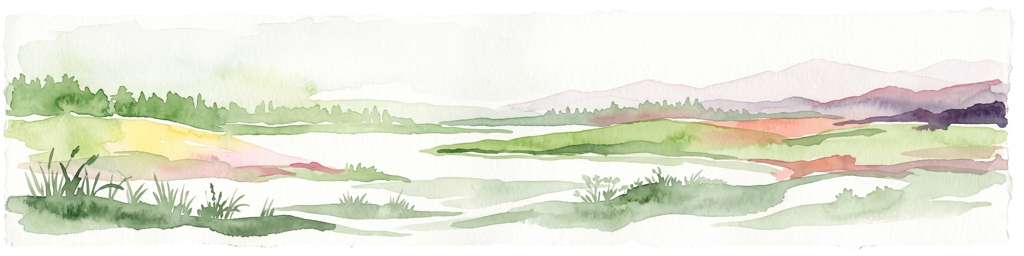
A horizontal watercolor painting showing a soft, abstract landscape with patches of green forest, yellow meadows, and pale pink marshland against a light background.
Nature reserveRheinland-Pfalz
About 4.8 km away#3 closest

Southwest

Forster Bruch Nature Reserve: Geography and Protected Habitat Mapping in Rhineland-Palatinate

Ecological transition zone between forest slopes and agricultural loess plains.

Forster Bruch represents a rare surviving patch of Feuchtgrünland, providing a essential refuge for meadow-dwelling birdlife within the highly cultivated landscape of the Palatinate. This protected area highlights the intersection of historic rail infrastructure and natural wetland restoration, serving as a distinct geographic landmark that contrasts sharply with the surrounding vineyards and forested Haardtrand slopes.

Area
0.49 km²
Established
2008
IUCN
IV
Relief
Lowland
A minimalist watercolor illustration of a wetland scene with soft green hills in the distance, a central water body, and faint pink and green vegetation in the foreground against a white background.
Protected areaRhineland-Palatinate
About 7.5 km away#4 closest

East

Maudacher Bruch: Protected Wetland and Historical Meander in Rhineland-Palatinate

Mapping the urban marshes and meadows of Ludwigshafen

Maudacher Bruch is a significant protected area in Rhineland-Palatinate, defined by its origin as an ancient silted-up meander of the River Rhine. This horseshoe-shaped landscape sustains diverse wetland habitats and serves as a natural counterpoint to the surrounding industrial city. Explore its complex geography, from the central marshland meadows and ponds to the elevated views across the Upper Rhine Plain.

Area
5.23 km²
Relief
Lowland
Climate
Temperate
Access
Easy access
A horizontal watercolor illustration depicting a calm lake with grassy foreground reeds and distant soft purple hills under a clear sky.
Nature reserveRhineland-Palatinate
About 11 km away#5 closest

South

Mußbacher Baggerweiher Nature Reserve in the Rhineland-Palatinate Protected Landscape Atlas

Wetland habitat mosaic and post-industrial geography

Mußbacher Baggerweiher stands as a textbook example of industrial recovery, where a former extraction site for motorway construction transformed into a thriving protected wetland. Situated in the eastern reaches of Neustadt an der Weinstraße, the reserve offers a dense mosaic of shoreline habitats, sheltered water, and small islands that contribute significantly to regional conservation in the Upper Rhine Plain.

Area
0.205 km²
Established
1989
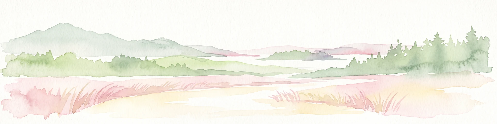
Watercolor painting of a rolling landscape with green fields, forested hills in the distance, and soft hazy lighting.
Nature reserveRheinland-Pfalz
About 12 km away#6 closest

Southwest

Drachenfels Nature Reserve: Geography and Protected Landscapes of the Palatinate Forest

A sandstone summit and protected ecosystem in Rheinland-Pfalz

The Drachenfels massif is a classic blocky sandstone summit located in the Palatinate Forest, characterized by its 13-hectare protected summit plateau and weathered rock outcrops. This area provides a look into the region's complex sedimentary history, where Bunter sandstone cliffs meet dense forest slopes. The site serves as a distinct landmark within the broader landscape of the Middle Palatinate Forest, showcasing geological features and natural terrain patterns that define the local environment.

Area
0.125 km²
Established
1972
Relief
Mountain
Climate
Temperate
A pale, soft watercolor painting showing a flat, grassy landscape with distant rolling hills and patches of trees.
Nature reserveRhineland-Palatinate
About 13 km away#7 closest

East

Pfälzische Rheinauen Nature Reserve: Protected Alluvial Landscapes in Rhineland-Palatinate

Regional floodplain geography and protected area map context

The Pfälzische Rheinauen is a major landscape protection area encompassing a mosaic of habitats along the Upper Rhine. From the Haardt mountains eastward, this region features rare alluvial forests, reclaimed gravel pit lakes, and complex river systems. It remains a focal point for understanding the integration of floodplain biodiversity with long-standing human activity in Western Germany.

Area
208.33 km²
Established
1971
Relief
Lowland
Climate
Temperate
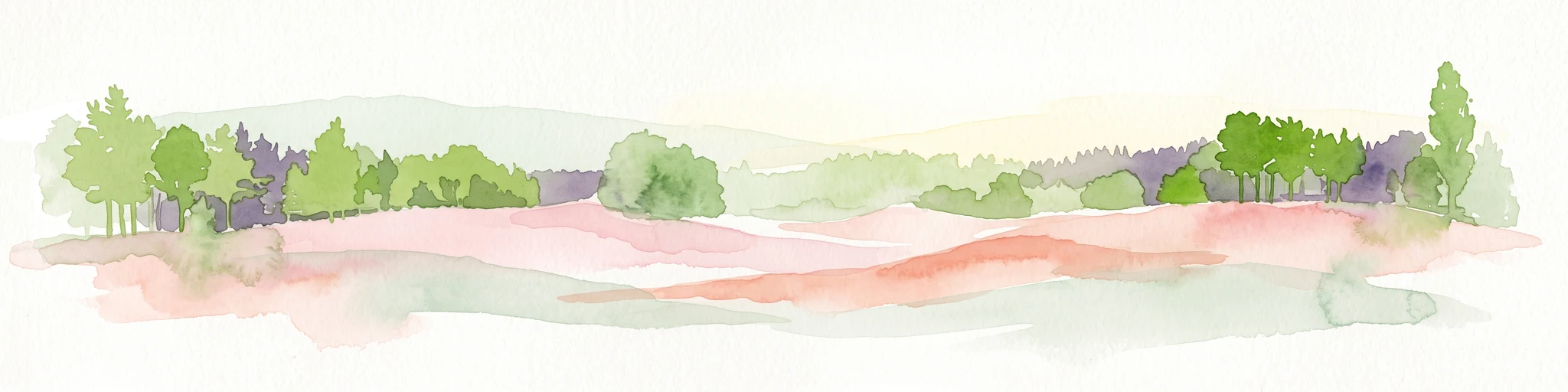
A horizontal watercolor painting showing a stylized, soft-focus forest landscape with green trees against a pale, warm-toned ground.
Protected areaRhineland-Palatinate
13 km away#8 closest

South

Speyerer Wald: Protected Alluvial Forest and Inland Sand Dune Landscape

Regional geography and protected area context in Rhineland-Palatinate.

Speyerer Wald offers a look into the formation of Rhine Plain alluvial fans and the survival of forest ecosystems on poor, sandy soils. This protected expanse showcases the intersection of inland dunes, dry sand grasslands, and riparian stream corridors. It serves as a key case study in regional landscape evolution, highlighting how ice age deposits continue to dictate current habitat distribution and nature conservation priorities.

Established
1981
Relief
Lowland
Climate
Temperate
Access
Easy access
MoriAtlas Explorer

Continue Exploring the Protected Landscapes of Dürkheimer Bruch

Examine the detailed geographic boundaries and conservation context of Dürkheimer Bruch. Discover how this nature reserve fits into the broader network of protected lands in Landkreis Bad Dürkheim using the MoriAtlas mapping tools.