
Peaks
Pic des Ours
2,283 m

Detailed analysis of terrain elevations, regional coverage, and alpine landscape features.
Examine the geographic characteristics of Écrins National Park, spanning 925 square kilometers across the French regions of Hautes-Alpes, Auvergne-Rhône-Alpes, and Isère. This profile documents the expansive mountain relief, elevations ranging from 800 to 4102 meters, and diverse natural features including glaciers, streams, and wetlands within the protected boundary.
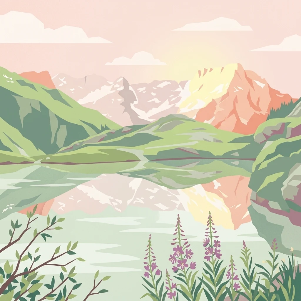
High Alpine Wilderness in the Heart of the French Alps
Écrins National Park is one of France's eight national parks, protecting a spectacular portion of the Dauphiné Alps in southeastern France. Straddling the departments of Isère and Hautes-Alpes, the park encompasses the entire Massif des Écrins, a high mountain range characterized by jagged peaks, extensive glaciers, and deep glacial valleys. The park rises from approximately 800 meters elevation to 4,102 meters at the Barre des Écrins, the highest summit in the massif. Its territory spans roughly 925 square kilometers of protected core area, with an additional adhesion area bringing the total managed landscape to nearly 1,800 square kilometers. The park represents a critical ecological corridor along the continental divide separating the Isère and Durance river basins, marking the boundary between the Northern and Southern Alps.
Mapping administrative borders within French regions and departments
Spatial dimensions and coordinates across a 925 square kilometer protected area.
Vertical range profiles and recorded natural features
Peaks
2,283 m
Streams
Peaks
3,891 m
Peaks
2,920 m
Streams
Peaks
2,420 m
Interpreting alpine climate zones, relief types, and forest cover
Mountains · Valleys · Glacier · Rivers · Lakes · Forest · Grassland · Cliffs
Temperate coniferous forest · Montane forest · Alpine meadow · Grassland · Riverine habitat · Lacustrine habitat
Explore the diverse protected landscapes of the Dauphiné Alps, tracing connections between Écrins National Park and its regional counterparts.
North

High-altitude mountain terrain in the French Alps
The Réserve naturelle nationale de la haute vallée du Vénéon occupies 61 hectares of striking alpine terrain near the hamlet of La Bérarde. Its landscape of steep slopes and glacial deposits functions as a key protected buffer zone, supporting diverse flora and fauna within the broader mountainous geography of the Auvergne-Rhône-Alpes region.
South
High-mountain riverine landscape and buffer zone in Hautes-Alpes
This nature reserve encompasses a 4-kilometer stretch of the upper Séveraisse valley, focusing on alluvial riverbed habitat and peripheral mountain terrain. Located in the French Alps, the reserve provides a protected transition zone characterized by its narrow, U-shaped valley floor and steep rocky inclines, offering a key geographic link to the wider Écrins ecosystem.
West
Tracing the alpine terrain and torrent corridors in the French Alps.
Covering roughly 84 hectares in the Isère region, this nature reserve integrates traditional pastoral landscapes with steep-sided forest slopes and rocky alpine ridges. It functions as a key protective buffer for the larger Écrins National Park, preserving a representative slice of southern French Alpine geography within a single, cohesive valley setting.
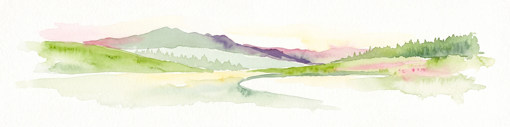
East
High-altitude mountain terrain in the southern French Alps
Covering slopes west of Briançon, Réserve naturelle régionale des Partias protects a layered alpine environment ranging from forested basins to rocky crests. This atlas entry provides a detailed geographic overview of the protected area, focusing on its distinctive mountain lakes, diverse soil substrates, and essential role in conserving alpine ecosystems.
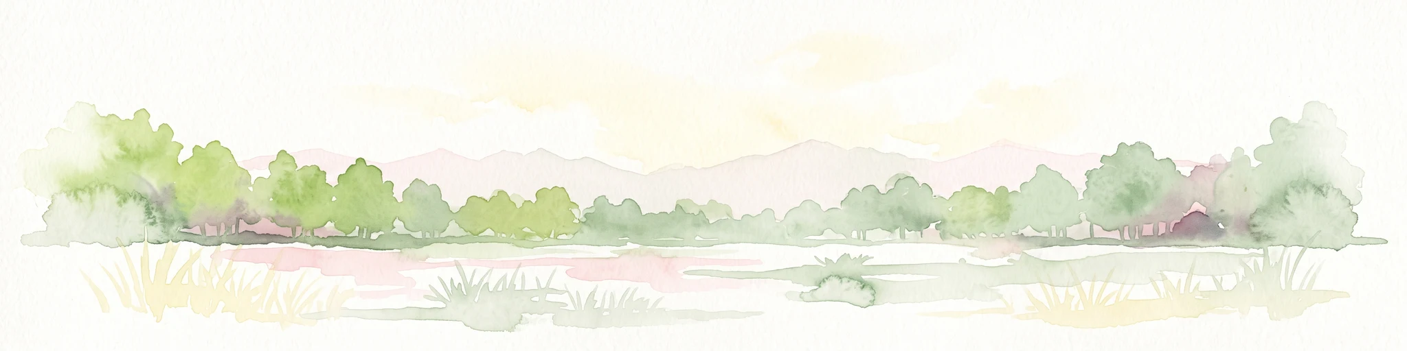
Northwest
Regional nature reserve and migratory bird sanctuary
Situated on the Plateau de Champagnier in Isère, this regional nature reserve offers a concentrated example of glacial pond ecology and wetland biodiversity. Covering 11 hectares, it acts as a critical stopover within the Grésivaudan valley migratory corridor. This protected site features diverse habitats, including reedbeds and wet meadows, that support hundreds of recorded bird species and a variety of dragonflies and amphibians, making it a significant area for ecological study.
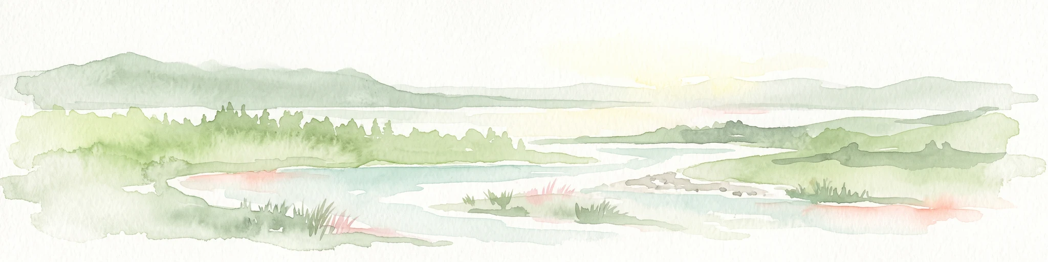
Northwest
A vital riverine conservation corridor in the Auvergne-Rhône-Alpes region of France
The Réserve naturelle régionale des Isles du Drac occupies an expansive alluvial floodplain where the river transitions into a braided system. This reserve preserves dynamic gravel bars and woodland habitats that support exceptional biodiversity within the northern Alpine landscape. It offers a detailed look at how riverine corridors persist alongside significant hydroelectric and industrial infrastructure in the Grenoble area.
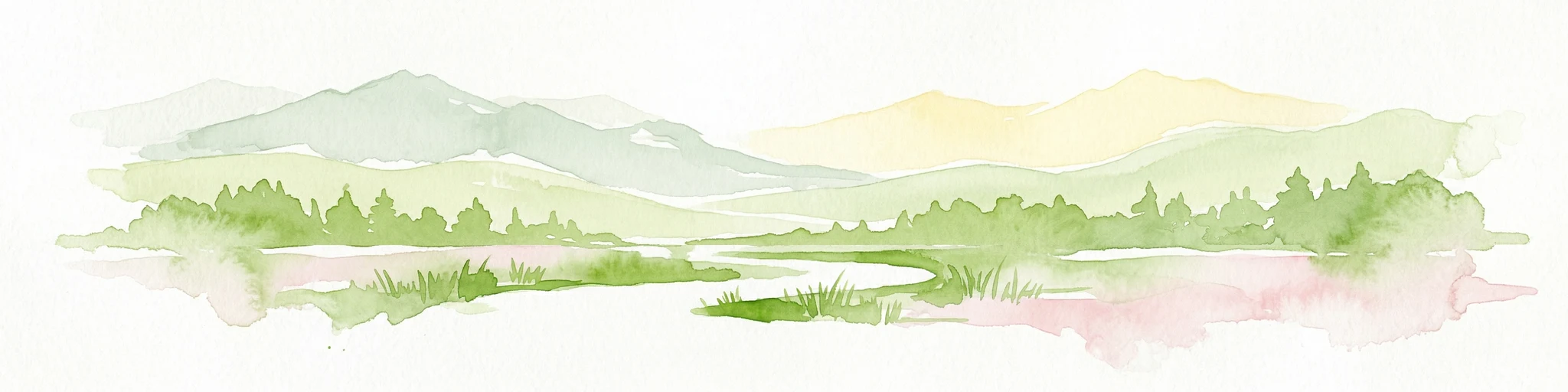
Northeast
Mapped Alpine geography, glacial terrain, and protected landscape.
Vanoise National Park is France's pioneering national park, a protected landscape of immense alpine beauty situated in the Savoie department. Renowned for its dramatic glacial terrain, over 100 peaks above 3,000 meters, and the iconic Alpine ibex, this park offers a profound geographic context. Explore its mapped boundaries and discover the unique atlas-level insights into France's mountainous protected areas and their ecological significance.

Southeast
Explore France's dramatic Alps, park boundaries, and unique ecotones.
Mercantour National Park stands as a premier protected area within the French Alps, distinguished by its remarkable geographic diversity and ecological significance. This national park encompasses mountainous terrain featuring dramatic peaks, deep glacial valleys, and a unique ecotone where Mediterranean and Alpine ecosystems converge. MoriAtlas facilitates a detailed atlas-style exploration of Mercantour National Park, highlighting its mapped protected boundaries, varied natural landscapes, and its pivotal role in regional geography and conservation efforts.
Deepen your understanding of Écrins National Park by exploring its detailed geographic context and protected landscape features. This atlas entry provides a foundation for understanding the park's mapped boundaries, high-altitude terrain, and role within the wider Dauphiné Alps region. Discover the intricate natural geography that defines this significant French National Park.