Nature reserveThuringia
3.5 km away#1 closest
South

Leinawald Nature Reserve: Mapping the Protected Forests and Wetland Habitats of Eastern Thuringia
A comprehensive look at the landscape geography, pond networks, and conservation status of this German woodland.
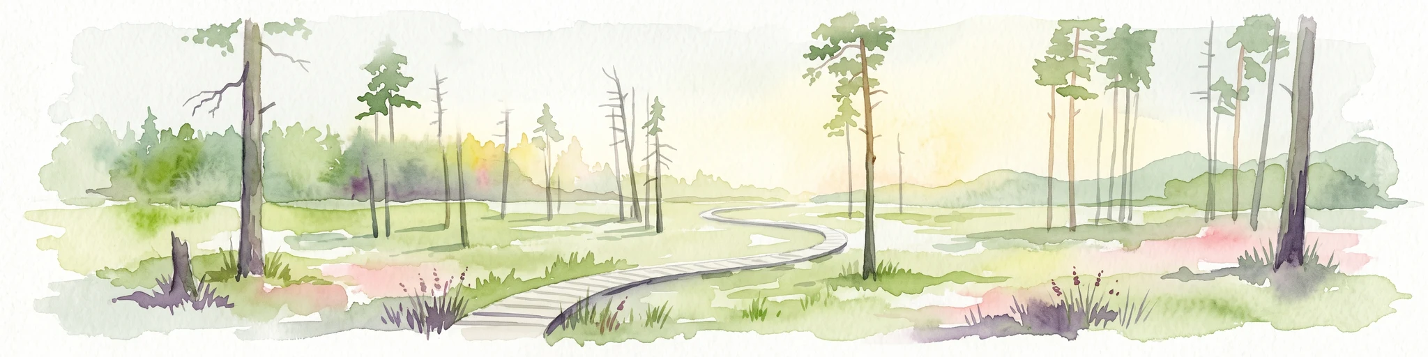
Leinawald represents a unique confluence of historical forestry, wartime heritage, and ecological recovery within the Altenburger Land region. The area is defined by its loess-mantled ridges and periodic wetland valleys, containing a complex grid of ponds, brooks, and secondary habitats formed in former quartz quarries. Understanding the environmental layers of this site reveals the intersection of natural vegetation potential and 20th century landscape transformation.
- Area
- 18.437 km²
- Established
- 1961
- IUCN
- IV
- Relief
- Upland