Mori Atlas logo
Nearby park discovery

Explore the regional geography and mapped landscape boundaries near this protected area

National Parks and Protected Areas Surrounding Fish River Station in the Northern Territory

Trace the distribution of protected landscapes across the region surrounding Fish River Station in Australia. This geographic overview highlights neighboring conservation sites, river floodplains, and upland terrain to provide a comprehensive look at the local network of protected lands.

Related tags

Northern TerritoryDaly River floodplainbillabongsmonsoon rainforestsavannah woodland

A vast Northern Territory conservation property protecting Daly River floodplain, savannah woodland, and rugged ranges south of Darwin.

Fish River Station

Fish River Station is a large protected conservation property in the Northern Territory of Australia, located south of Daly River and roughly 150 kilometres south of Darwin. The property covers an area of about 1,781 square kilometres and is bounded by the Daly River, the Wingate Mountains, and neighboring pastoral stations. Its mix of floodplain, billabongs, rainforest pockets, rugged ranges, and savannah woodland gives it a varied landscape rarely combined in a single protected area in this part of Australia. The property was acquired in 2011 as a partnership between the Indigenous Land Corporation, the Nature Conservancy, Pew Environmental Group, and the Australian Government's National Reserve System. The purchase marked a significant step in returning land management to the traditional owners, the Wagiman, Labarganyan, Malak Malak, and Kamu peoples. It stands as an example of how conservation, Indigenous land rights, and landscape protection can overlap in the tropical north of Australia. The station's ecological importance lies in its long stretches of Daly River floodplain, the seasonal billabongs that punctuate the lowlands, the rainforest refuges nestled along watercourses, and the drier savannah woodland that surrounds them. Together these environments support a rich combination of northern Australian wildlife and provide a connected habitat block that has been shielded from the fragmentation affecting much of the surrounding region.


Location
Australia
Park type
National park
Established
2010
Area
1,781 km²
Fish River Station Protected Area
Regional park map

See the ranked park cluster in its geographic setting

Nearby parks around Fish River Station

This regional map shows the same 20 nearby parks ranked below around Fish River Station. Select a ranked marker to highlight that park’s boundary where boundary data is available.
Reference park: Fish River StationRanked nearby park20 nearby parks shown
20 nearby parks

Explore surrounding protected landscapes, spatial proximity, and regional conservation environments

Parks and Protected Areas Geographically Near Fish River Station

Examine the ranked collection of protected areas situated within spatial proximity to Fish River Station, evaluated through geographic separation and direction. These regional park comparisons highlight broader environmental patterns and conservation contexts across the surrounding tropical terrain.
National parkNorthern Territory
About 72 km away#1 closest

North

Litchfield National Park: Northern Territory National Park Protected Landscape Atlas

Explore regional geography and mapped park boundaries.

Litchfield National Park is a protected natural area located in Australia's Northern Territory, designated as a national park. This page offers detailed geographic context and explores the park's mapped boundaries, providing a foundational understanding of its protected landscape identity. Discover how Litchfield National Park fits within the broader atlas of Australian conservation lands, highlighting its regional geographic significance and mapped terrain.

Area
1,458.47 km²
Established
1991
IUCN
II
Visitors
329.6K annual
Nature reserveNorthern Territory
About 99 km away#2 closest

Southeast

Giwining / Flora River Nature Park: Protected Limestone Landscapes of Northern Territory

Geological spring systems and tropical riverine corridors.

The landscape of Giwining / Flora River Nature Park is defined by a network of calcium-rich springs emerging from Tindall Limestone. These waters have sculpted tufa dams and cascading waterfalls along the Flora River, creating a unique geological environment within the savanna woodlands of the Northern Territory.

Area
78.24 km²
Established
1993
IUCN
V
Relief
Lowland
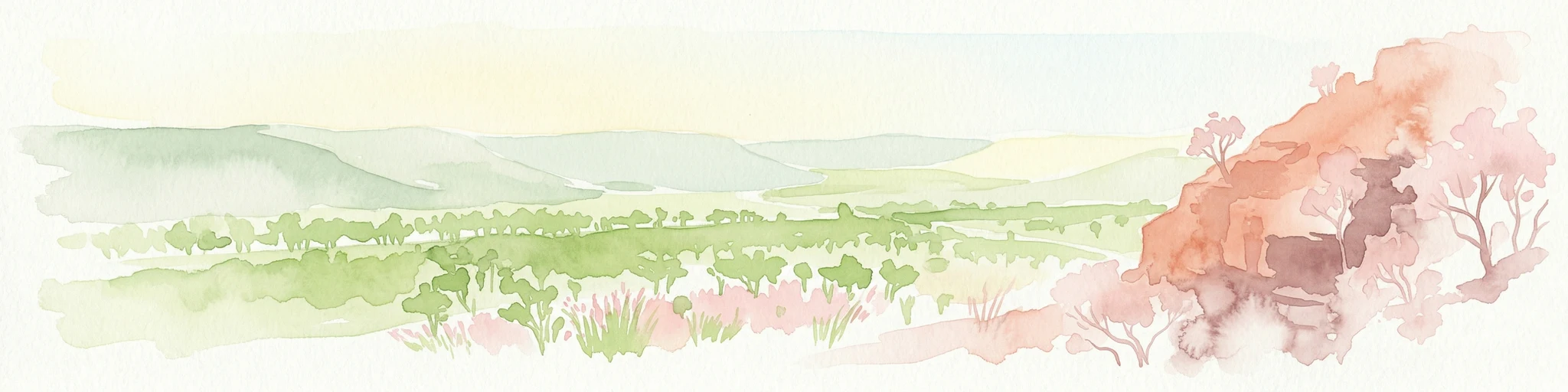
Watercolor illustration showing rolling green hills, a red rock formation, and scattered trees
National parkNorthern Territory
About 130 km away#3 closest

South

Judbarra National Park: Northern Territory National Park Protected Landscape and Geography

Discover its mapped terrain and ancient Indigenous rock art.

Judbarra National Park is a major national park in Australia's Northern Territory, recognized for its extensive Indigenous rock art, which constitutes a significant artistic province. Spanning a vast area with two distinct geographic sections, the park showcases a transition between tropical and semi-arid ecosystems. Users can explore its rugged terrain, sandstone escarpments, and mapped park boundaries to understand its unique regional geographic context and rich cultural heritage.

Area
13,004.1 km²
Established
1990
IUCN
II
Relief
Mixed relief
National parkNorthern Territory
About 136 km away#4 closest

Northeast

Mary River National Park: National Park in Northern Territory, Australia

Mapped protected landscape and regional geographic context.

Mary River National Park is an officially designated national park located in the vast Northern Territory of Australia. This protected area offers rich opportunities for geographic discovery, allowing users to explore its mapped boundaries and understand its significance within the regional landscape. Discover the natural context and atlas positioning of Mary River National Park, contributing to a broader understanding of protected lands in Northern Australia.

Area
1,215.25 km²
Established
1966
IUCN
II
Visitors
336.4K annual
National parkNorthern Territory
About 138 km away#5 closest

East

Nitmiluk National Park: Detailed Protected Landscape and Geographic Context

Explore mapped park boundaries and regional terrain.

Delve into the specifics of Nitmiluk National Park, a designated national park within the Northern Territory of Australia. This section focuses on its protected-area status and how its geography contributes to the regional landscape. Users can explore the park's mapped extent and understand its placement within the broader geographical atlas, highlighting its importance as a distinct protected natural area.

Area
2,946.64 km²
Established
1977
IUCN
II
Visitors
309.8K annual
Protected landscapeNorthern Territory
About 140 km away#6 closest

Northwest

Channel Point Coastal Reserve: Mapped Geography and Protected Coastal Landscape

Northern Territory coastal wetlands and river-mouth geography.

Spanning the mouth of the Daly River, Channel Point Coastal Reserve offers a study in tropical estuarine geography. Its protected boundaries encompass diverse tidal flats and mangrove ecosystems, providing crucial habitat within the Northern Territory. The landscape remains a quiet node of ecological significance, characterized by its interaction with the Peron Islands and open bay waters.

Area
2.5 km²
Established
2005
IUCN
V
Relief
Lowland
Protected landscapeNorthern Territory
About 141 km away#7 closest

East

Kintore Caves Conservation Reserve: Karst Geography and Protected Landscape Analysis

Mapping subterranean terrain and cultural heritage in Australia's Northern Territory.

Kintore Caves Conservation Reserve in the Northern Territory is a vital protected area defined by its rare limestone karst geology and extensive cave networks. This site provides a concentrated look at subterranean biodiversity and archaeological history within a transitional rural setting near Katherine, showcasing the importance of focused conservation boundaries in safeguarding geological and human-linked landscapes.

Area
4.23 km²
Established
1965
IUCN
V
Access
Access unknown
National parkAustralia
About 145 km away#8 closest

Northeast

Kakadu National Park: Australia's Protected Landscape and Regional Geography

Explore Kakadu National Park's mapped boundaries and natural terrain.

Kakadu National Park stands as a significant national park entity within Australia, providing rich geographic context for atlas discovery. This page details the park's protected area identity, its mapped natural landscapes, and its place within the broader Australian continent's geography. Understand the unique regional setting and the specific topographic features that define Kakadu National Park for detailed exploration and comparative geographic analysis.

Area
19,804 km²
Established
1979
IUCN
II
Visitors
250K annual
Wildlife reserveNorthern Territory
About 161 km away#9 closest

North

Blackmore River Conservation Reserve: Protected Riverine Geography in the Northern Territory

A tropical riparian conservation corridor near Darwin

Blackmore River Conservation Reserve features a distinct 6.5-kilometre river corridor that shelters threatened plant species within the Northern Territory. This protected area offers insight into tropical riparian ecology, showcasing the transition between lush watercourse vegetation and surrounding woodland in the Darwin hinterland.

Area
5.47 km²
Established
1984
IUCN
V
Relief
Lowland
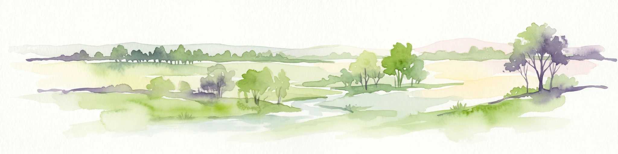
Watercolor illustration of a landscape with trees, open fields, and distant hills.
National parkNorthern Territory
About 171 km away#10 closest

North

Djukbinj National Park: Protected Landscape and Geographic Atlas Entry for Northern Territory

Mapped boundaries and regional landscape context for Djukbinj National Park.

Delve into Djukbinj National Park, a designated national park situated within the extensive Northern Territory of Australia. This entry provides an atlas-style examination of the park, highlighting its protected landscape features and geographic positioning. Discover detailed information on its mapped boundaries and how it contributes to the overall regional geography and natural terrain of Northern Australia, offering a unique lens for protected-area exploration.

Area
554.41 km²
Established
1997
IUCN
II
Climate
Tropical
Nature reserveNorthern Territory
About 177 km away#11 closest

East

Cutta Cutta Caves Nature Park: A Tropical Karst and Cave Reserve in Northern Territory

Protected tropical limestone karst and subterranean landscape geography.

Cutta Cutta Caves Nature Park is a specialized protected area in Australia, safeguarding a unique tropical limestone karst landscape near Katherine. This reserve manages subterranean cave systems, mineral-rich chambers, and the surrounding woodland terrain. As a significant ecological site, it provides essential habitat for rare wildlife, highlighting the complex intersection of geological formations and tropical biodiversity within the Northern Territory.

Area
14.99 km²
Established
1967
IUCN
III
Visitors
17.2K annual
Nature reserveNorthern Territory
About 185 km away#12 closest

North

Fogg Dam Conservation Reserve: Mapping the Floodplains of the Northern Territory

A critical monsoonal wetland and protected nature reserve.

Fogg Dam Conservation Reserve serves as a primary example of Top End floodplain geography. This detailed look covers the shifting landscape patterns, from expansive wet season inundations to the receding pools of the dry season, providing a clear overview of the reserve's protected environmental boundaries and ecological setting.

Area
37.08 km²
Established
1982
IUCN
V
Visitors
63.2K annual
Wildlife reserveNorthern Territory
About 190 km away#13 closest

North

Black Jungle Conservation Reserve: Map, Geography, and Protected Landscape Context

Protected tropical savanna and floodplain wetlands in Northern Territory

Situated in the Northern Territory, Black Jungle Conservation Reserve preserves an essential link within the Adelaide River Coastal Floodplain. This wildlife reserve features rare spring-fed monsoon rainforests set against a backdrop of open eucalypt savanna, providing a protected sanctuary for internationally significant waterbird populations and saltwater crocodiles within a complex mosaic of tidal and seasonal wetlands.

Area
49.51 km²
Established
1986
IUCN
VI
Relief
Lowland
National parkNorthern Territory
About 190 km away#14 closest

North

Charles Darwin National Park: Discover its Mapped Landscape, WWII Bunkers, and Larrakia Heritage

Northern Territory protected area with significant historical and geographic context.

Charles Darwin National Park represents a distinct protected landscape in Australia's Northern Territory, offering a rich tapestry of natural beauty and historical significance. This national park is renowned for its well-preserved World War II concrete bunker complex, serving as a direct link to Australia's wartime past. Beyond its military history, the park encompasses tropical savanna woodlands and coastal terrains that provide panoramic views of Darwin Harbour. Its indigenous heritage, including ancient shell middens, highlights thousands of years of Larrakia land use, making it a layered geographic and cultural discovery point.

Area
13.03 km²
Established
1998
IUCN
II
Climate
Tropical
Nature reserveNorthern Territory
About 192 km away#15 closest

North

Howard Springs Nature Park: Protected Landscape Maps and Regional Geography in Northern Territory

Detailed overview of tropical springs and monsoon forest terrain.

Howard Springs Nature Park offers a concentrated look at the unique Top End landscape through its permanent freshwater springs and bordering paperbark wetlands. Located near Darwin, this reserve provides essential habitat for waterfowl and serves as a primary example of protected inland spring systems within the Australian Northern Territory geography.

Area
2.86 km²
Established
1952
IUCN
V
Relief
Lowland
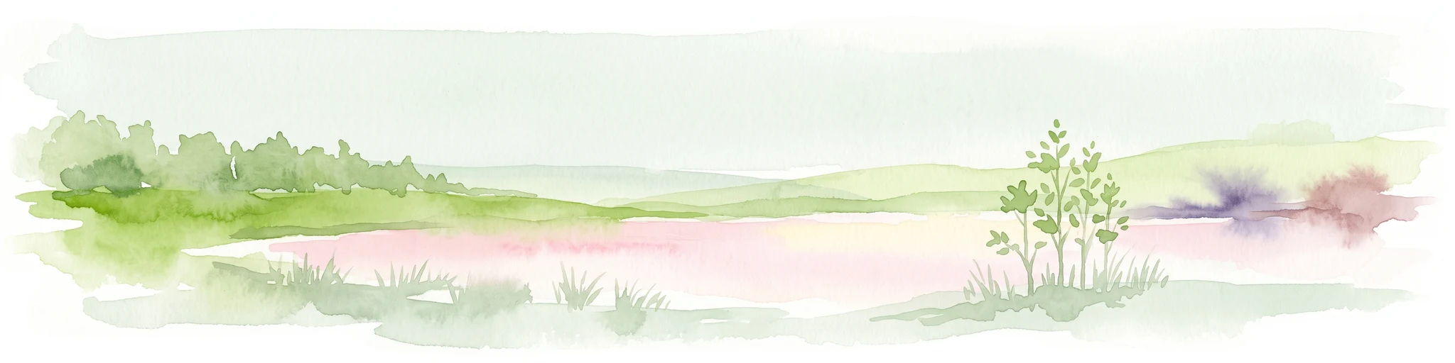
A soft watercolor painting showing a pinkish lagoon surrounded by green vegetation and rolling hills in the distance.
Wildlife reserveNorthern Territory
About 194 km away#16 closest

North

Knuckey Lagoons Conservation Reserve: Geographic Profile and Protected Wetland Map

Tropical lagoon habitat within the Northern Territory landscape

This wildlife reserve preserves an essential tropical lagoon and wetland environment on the suburban edge of Darwin. Established in 1966, it maintains a fragment of the seasonal coastal plain character within a heavily developed corridor, serving as an important case for localized habitat management in the Northern Territory.

Area
1.25 km²
Established
1966
IUCN
IV
Relief
Lowland
Wildlife reserveNorthern Territory
About 196 km away#17 closest

North

Howard Springs Hunting Reserve: Mapped Protected Landscape and Regional Geography

Wildlife reserve terrain within the Howard Sand Plains

Howard Springs Hunting Reserve is a specifically managed wildlife reserve in Australia's Northern Territory, positioned within the Howard Sand Plains. This area serves as a vital component of a larger interconnected landscape that flows from inland wetlands toward the Shoal Bay coastal environment. Providing a unique look at sustainable-use protected lands, this resource offers geographic insights into how the reserve interacts with adjacent conservation corridors in the Darwin region.

Area
16.05 km²
Established
1984
IUCN
VI
Relief
Lowland
Nature reserveNorthern Territory
About 198 km away#18 closest

North

Holmes Jungle Nature Park: An Essential Protected Area in Australia's Northern Territory

Mapping the monsoon forest and tropical creek corridors near Darwin.

Holmes Jungle Nature Park is a significant nature reserve providing a rare, continuous green corridor within suburban Darwin. This protected landscape is defined by its thick monsoon forest, layered vegetation, and the Pine Creek waterway, serving as a vital link between inland tropical habitats and the tidal zones of the Shoal Bay catchment. Learn about its geographic role in preserving lowland biodiversity in the Top End.

Area
2.51 km²
Established
1976
IUCN
V
Relief
Lowland
Protected areaNorthern Territory
About 202 km away#19 closest

North

Shoal Bay Coastal Reserve Protected Landscape Mapping and Geographic Context

Coastal wetlands and eucalypt woodland in Northern Territory

Shoal Bay Coastal Reserve protects an expansive coastal fringe characterized by large tidal mud-flats and surrounding saline wetlands. This Northern Territory site offers a complex landscape where monsoon vine forests and woodland-covered uplands meet tidal substrates, providing significant habitat for migratory waterbirds.

Area
123 km²
Established
2000
IUCN
VI
Relief
Lowland
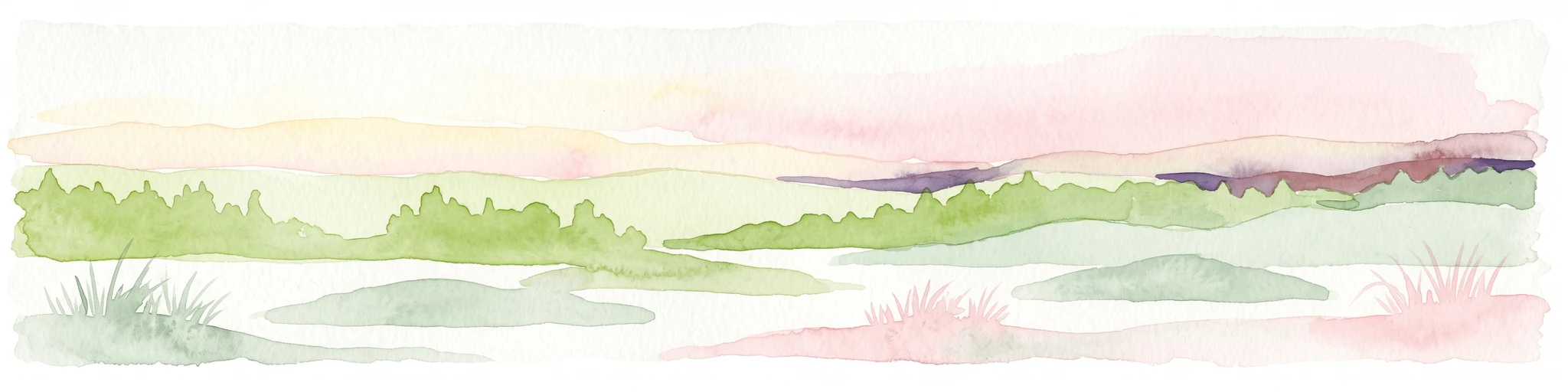
A watercolor painting of a serene coastal landscape with rolling green hills, trees, and soft pink clouds in the background.
Protected landscapeNorthern Territory
About 206 km away#20 closest

North

Casuarina Coastal Reserve: Protected Landscapes and Coastal Geography in the Northern Territory

Mapped estuarine, forest, and shoreline habitats

Casuarina Coastal Reserve protects an essential strip of tropical coastline within the Northern Territory. From sandstone cliffs and Casuarina-fringed dunes to the sheltered mangrove estuaries of Buffalo Creek, the reserve provides a structured look at the complex interplay between terrestrial woodland and marine environments in an urban-edge setting.

Area
13.61 km²
Established
1978
IUCN
V
Visitors
1.1M annual
Distance methodology

Geographic measurements, not driving distances

How nearby park distances are calculated

Distances use park boundaries whenever the available geometry allows it. When one or both boundaries are missing, the mapped park locations provide a clearly labelled estimate. Every value represents straight-line geographic separation and does not use roads or routing.

Boundary distance

Calculated between the nearest points of both park boundaries.

Location-to-boundary estimate

Estimated from one mapped park location to the nearest boundary of the other park.

Mapped-location estimate

Estimated between the mapped locations of both parks.

MoriAtlas Explorer

Explore the Mapped Landscapes and Geography of Fish River Station

Deepen your understanding of the tropical floodplains and rugged escarpments defining Fish River Station. Use MoriAtlas to trace the protected boundaries and regional terrain of this significant Northern Territory conservation estate through a focused geographic lens.

Global natural geography