
Mori Atlas logo
Park earthquake history

Documented seismic event data, including magnitude, focal depth, and proximity calculations.

Historical Catalogue of Recorded Earthquakes Associated with the Gila Wilderness Region

Review a curated collection of recorded seismic events occurring in the geographic vicinity of the Gila Wilderness. This database displays historical earthquake occurrences indexed by epicentre distance, providing technical insights into the regional seismic profile of the Mogollon Mountains and surrounding lands. All entries are structured to support geographic discovery and independent analysis of archived records.

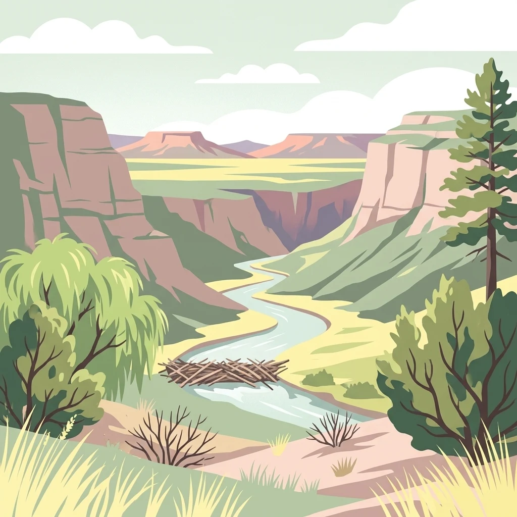
A digital illustration depicting a river flowing through a deep, layered canyon with steep cliffs, desert vegetation, and a beaver dam in the foreground.

The world's first designated wilderness area, in the Mogollon Mountains of southwestern New Mexico.

Gila Wilderness

The Gila Wilderness is a vast protected wilderness area in southwestern New Mexico, encompassing roughly 558,000 acres within the Gila National Forest. It occupies a sweeping arc of the Mogollon Mountains and the headwaters of the Gila River, with elevations ranging from riverside canyons near 4,800 feet to alpine summits above 10,000 feet. Historically, the Gila Wilderness holds a singular place in the American conservation movement: in 1924 it became the world's first designated wilderness area, a concept advanced by forester Aldo Leopold. The wilderness is part of a transitional landscape where Rocky Mountain forests meet the northern reaches of the Chihuahuan Desert, producing a striking mix of spruce-fir highlands, ponderosa pine forests, pinyon-juniper woodlands, and dry desert slopes. The area is rich in cultural history, from the ancient cliff dwellings of the Mogollon people to the Chiricahua Apache who sheltered in its canyons. Today the Gila Wilderness remains one of the most remote and ecologically significant wild lands in the American Southwest, offering an unparalleled experience of unroaded terrain, native wildlife, and natural hot springs.

Location
United States of America
Park type
Wildlife reserve
Established
1924
Area
225,820 km²
Highest point
3,321 m
Gila Wilderness Geographic Atlas

Sort Gila Wilderness events by magnitude, depth, date, and distance

Search recorded earthquake history associated with Gila Wilderness

Gila Wilderness rises from 1,480 to 3,321 metres across 225,820 km² of United States mountains, valleys, cliffs, forest, woodland, grassland, rivers, and islands. Associated earthquakes offer source-level chronology and spatial evidence, not confirmation of effects across this immense wilderness or a forecast.

Sort by
Magnitude
Location

This page describes catalogued earthquakes associated with the park by epicentre location and distance. It does not establish causation, assess current danger, or predict future earthquakes.

No earthquake records match the current filters

Park atlas

Continue from Gila Wilderness earthquake history to new places

Find additional protected park pages after Gila Wilderness

Continue beyond the earthquake collection for Gila Wilderness to protected places documented independently elsewhere in the atlas. Their inclusion does not connect them to the Mogollon Mountains, United States wilderness history, or pioneering conservation context, nor imply common geology, seismicity, distance, hazard, risk, or record coverage.
A horizontal watercolor painting showing distant mountains in shades of purple, soft green rolling hills, a central winding river or stream, and grassy foreground elements on a white background.
Protected landscapeNew Mexico
Park boundaries overlap#1 closest

Northwest

Gila National Forest: A Geographic Overview of New Mexico's Protected Wilderness Core

Mapped terrain, forest boundaries, and regional wilderness character

Gila National Forest stands as a critical protected landscape in New Mexico, encompassing immense mountain ranges, narrow river gorges, and extensive backcountry basins. This atlas entry details the forest's topographic transition from high-altitude ponderosa stands to desert lowlands, highlighting its status as the foundational site for the global wilderness movement and a stronghold for regional ecological diversity.

Area
10,969.7 km²
Established
1905
Relief
Mountain
Climate
Temperate
Wildlife reserveArizona
About 108 km away#2 closest

West

Fishhooks Wilderness: An Arizona Desert Wildlife Reserve and Protected Landscape Atlas

Mapped terrain and arid geography in Graham County

Fishhooks Wilderness represents an intact, undeveloped stretch of southeastern Arizona desert managed by the Bureau of Land Management. The area provides a critical example of basin-and-range topography, where volcanic ridges and desert flats border the San Carlos Apache Indian Reservation. This record offers a clear perspective on the wilderness boundaries, ecological transition zones, and remote backcountry character of this distinctive regional landscape.

Area
42 km²
IUCN
Ib
Relief
Upland
Climate
Arid
National parkNew Mexico
146 km away#3 closest

East

White Sands National Park: National Park with Unique Dune Landscape in New Mexico

Explore its protected boundaries and desert geography.

White Sands National Park is a protected national park renowned for its stunning gypsum dunes, offering a unique landscape within New Mexico's geography. This page provides detailed information on its mapped protected area, serving as a valuable resource for understanding the park's specific geographic context and its identity as a significant protected natural landscape.

Area
601.3 km²
Established
2019
IUCN
V
Visitors
729.1K annual
A soft watercolor painting of a wide, rolling mountain landscape with muted greens, yellows, and purples.
Wildlife reserveArizona
151 km away#4 closest

West

Galiuro Wilderness: A Protected Mountain Landscape in Southeastern Arizona

Mapped geography and terrain of the Galiuro range

Trace the uplifted slabs and eroded canyons that define Galiuro Wilderness. This protected area rises from the Arizona plains to reveal a complex geography of brushy slopes, spring-fed riparian zones, and sky-high summit vistas.

Area
309 km²
Established
1932
IUCN
Ib
Relief
Mountain
Protected landscapeArizona
162 km away#5 closest

West

Tonto National Forest: Understanding the Geography of an Expansive Protected Landscape

Exploring the vertical ecosystem gradients in Central Arizona

Spanning from arid Sonoran basins to the towering Mogollon Rim, Tonto National Forest offers a unique study in vertical geography and protected land management. This expansive territory provides a vital map of Southwest life zones, encompassing reservoir systems, rugged river canyons, and critical wilderness habitat that define the environmental identity of the region.

Area
11,627 km²
Established
1905
Visitors
5.9M annual
Relief
Mountain
Wildlife reserveArizona
About 168 km away#6 closest

West

Needle's Eye Wilderness: Protected Desert Geography and Mescal Mountain Topography

Gila River canyons and limestone desert landscapes in Arizona

Needle's Eye Wilderness encompasses a rugged segment of the Mescal Mountains where the Gila River has incised deep limestone gorges. This protected area features a striking shift between harsh arid uplands and a dense riparian corridor, offering a study in concentrated desert canyon topography and dramatic geological formations within southern Arizona.

Area
35.5 km²
Established
1990
IUCN
Ib
Relief
Mountain
National parkNavajo County
180 km away#7 closest

Northwest

Petrified Forest National Park: National Park Protected Landscape and Geographic Atlas

Explore its mapped terrain and regional park context.

Petrified Forest National Park represents a significant protected landscape within Navajo County, Arizona, offering focused insights into its unique terrain and geographic distribution. As a national park, it provides valuable data for understanding mapped park boundaries, regional landscape context, and its role within the broader atlas of protected areas. Discover the specific geographic features and natural identity that define this unique natural reserve.

Area
895.94 km²
Established
1962
IUCN
II
Visitors
644.9K annual
National parkPima County
194 km away#8 closest

Southwest

Saguaro National Park: Discover Its Protected Landscape Geography and Mapped Boundaries

Explore the natural terrain and regional context of this national park.

Saguaro National Park offers a focused exploration of a specific protected landscape, highlighting its unique geographic features and mapped boundaries within Pima County. This detail page provides an atlas perspective, allowing for a deep dive into the park's natural terrain and its regional significance. Understand the protected area's identity and its place within the wider geographical context.

Area
371.16 km²
Established
1994
IUCN
II
Visitors
946.4K annual
MoriAtlas Explorer

Continue Exploring the Gila Wilderness and Its Complex Protected Landscape

Deepen your understanding of Gila Wilderness by analyzing its rugged topographic map, diverse forest-to-desert transitions, and central role in the history of wilderness preservation within the MoriAtlas regional geography database.

Global natural geography