Mori Atlas logo
National parkGobi Gurvansaikhan National Park

Discover the mapped terrain and regional geography of this Mongolian national park.

Gobi Gurvansaikhan National Park: Protected Landscape and Geographic Atlas in Ömnögovi Province

Gobi Gurvansaikhan National Park stands as a significant protected area within Mongolia's Ömnögovi Province. This page offers a gateway to understanding its geographic scope and protected landscape identity, focusing on mapped boundaries and regional terrain. Delve into the atlas context of this national park, providing a foundation for structured geographic exploration and discovery beyond simple facts. Understand the physical layout and regional positioning of Gobi Gurvansaikhan National Park for a clearer view of Mongolia's protected natural areas.

desert parksmountain parksnational parksprotected wildernesssand dunessteppe ecosystems

Gobi Gurvansaikhan National Park

National park

Park overview

Structured park overview, official facts, and landscape profile for Gobi Gurvansaikhan National Park

Gobi Gurvansaikhan National Park park facts, protected area profile, and essential visitor context
Review the core facts for Gobi Gurvansaikhan National Park, including designation, size, terrain, visitor scale, habitats, and operating context in one park-focused overview.

About Gobi Gurvansaikhan National Park

Gobi Gurvansaikhan National Park represents one of Mongolia's most ambitious conservation efforts and stands as the country's largest protected area. The park's vast territory encompasses an extraordinary range of ecosystems, from the iconic sand dunes of the Gobi Desert to alpine steppe zones in the mountain regions. The Gurvan Saikhan Mountains, from which the park takes its name, rise dramatically in the eastern portion of the protected area, their three peaks known collectively as the "Three Beauties" creating a distinctive mountain silhouette against the desert sky. This contrast between barren dunes and snow-capped peaks defines the park's unique character and makes it a destination of exceptional scenic diversity. The park's ecological significance extends beyond its borders, serving as a corridor for wildlife movement across the Gobi region and providing ecosystem services that support both wildlife and the traditional pastoral communities who inhabit the surrounding landscapes. Visitors to the park encounter a landscape that has remained largely unchanged for millennia, with the same vast horizons and dramatic light that have inspired generations of nomadic peoples.

Quick facts and research context for Gobi Gurvansaikhan National Park

Gobi Gurvansaikhan National Park covers 2,700,000 hectares in southern Mongolia, making it the country's largest national park. The park sits at the northern edge of the Gobi Desert in Ömnögovi Province, with the Gurvan Saikhan Mountains forming the eastern half of the protected area. Elevations range from desert floor to approximately 2,600 meters in the mountain zones, where steppe vegetation prevails. The park was established in 1993 under the management of Mongolia's Ministry of Environment and Green Development and was expanded to its current size in 2000. Access is typically through Dalanzadgad, the nearest city, which is connected to the capital Ulaanbaatar by air.

Park context

Deeper park guide and search-rich context for Gobi Gurvansaikhan National Park

Gobi Gurvansaikhan National Park history, landscape, wildlife, and travel context
Explore Gobi Gurvansaikhan National Park through its history, landscape character, ecosystems, wildlife, conservation priorities, cultural context, and seasonal travel timing in a structured park guide built for atlas discovery and search intent.

Why Gobi Gurvansaikhan National Park stands out

Gobi Gurvansaikhan is best known for its extraordinary combination of desert and mountain ecosystems within a single protected area. The park contains Khongoryn Els, also called the Singing Sands, one of the most spectacular sand dune systems in the Gobi. The mountain valley of Yolyn Am holds a remarkable ice field that persists through most of the year, a striking phenomenon in a desert landscape. The park is famous for its population of endangered species, particularly the elusive snow leopard and the Bactrian camel, which roams the desert fringes. The Gurvan Saikhan Mountains themselves, with their three distinctive peaks, provide a dramatic backdrop and habitat for the lammergeier, also known as the bearded vulture.

Gobi Gurvansaikhan National Park history and protected-area timeline

Gobi Gurvansaikhan National Park was officially established in 1993 as part of Mongolia's expanding network of protected areas during the post-socialist period of conservation policy development. The park was significantly expanded in 2000, more than doubling its original size to encompass the full extent of the Gurvan Saikhan Mountains and the remarkable dune formations of the Khongoryn Els area. This expansion reflected a growing recognition of the ecological connectivity needed to properly protect the Gobi's diverse habitats and the wildlife populations that depend on them. The governing body for the park is the Ministry of Environment and Green Development of Mongolia, which oversees management of the protected area within the country's national park system. The establishment of the park coincided with broader efforts to develop sustainable tourism in Mongolia, positioning Gobi Gurvansaikhan as a flagship destination for nature-based travel that could support both conservation and local community livelihoods.

Gobi Gurvansaikhan National Park landscape and geographic character

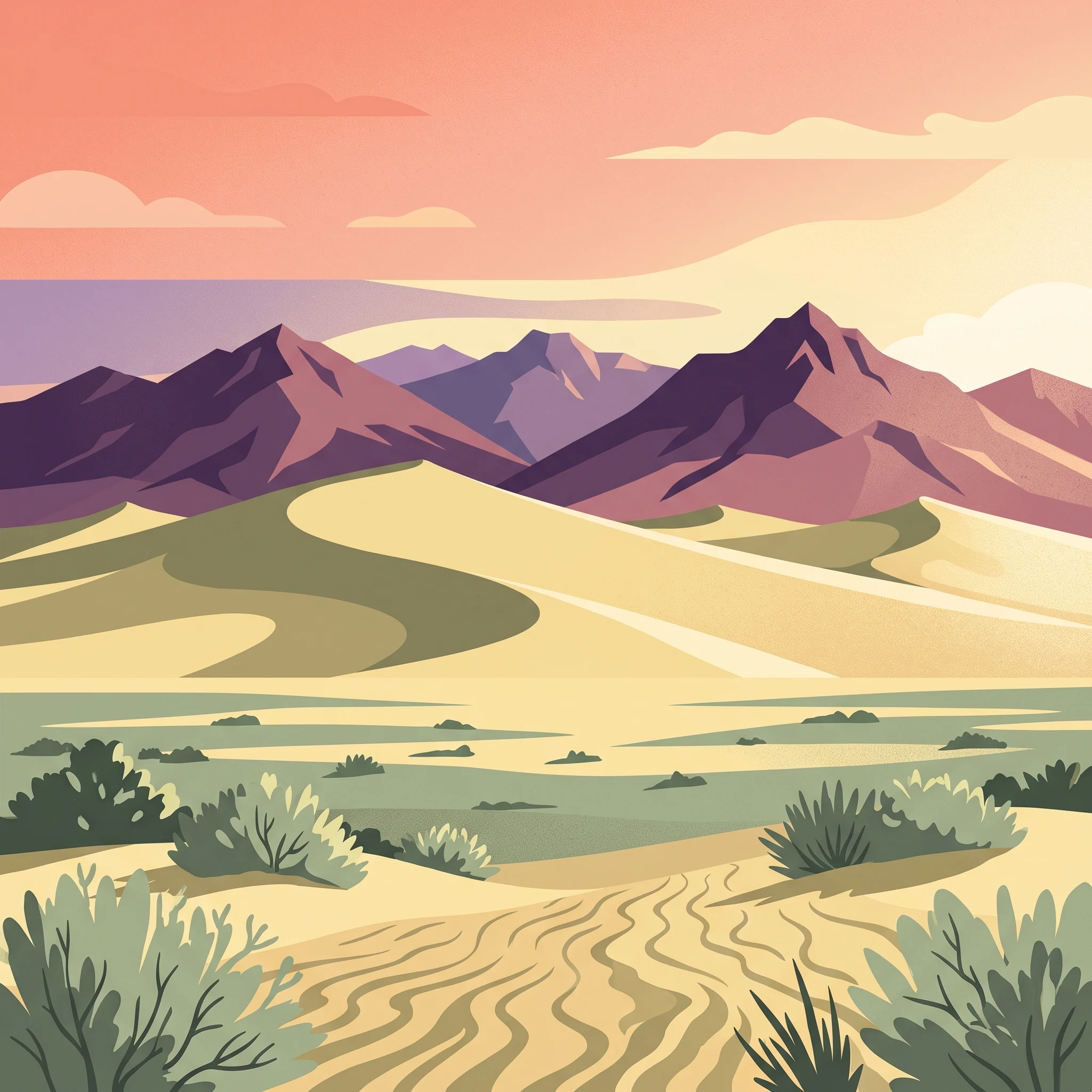
The physical landscape of Gobi Gurvansaikhan National Park displays remarkable topographic diversity within a relatively compact geographic region. The park encompasses three primary landscape zones: the vast sand dune fields of the western and central areas, the undulating desert steppe of the lower elevations, and the rugged mountain terrain of the Gurvan Saikhan range. The Khongoryn Els dune system represents one of the most impressive sand dune complexes in all of the Gobi, with some dunes reaching heights that create the acoustic phenomenon known as "singing sands" when wind moves the fine grains. The Gurvan Saikhan Mountains rise from the northern edge of the desert, their steep-sided valleys and towering rock faces providing a striking contrast to the surrounding flat terrain. Yolyn Am, meaning "Eagle Valley," contains a deep mountain gorge where a permanent ice field forms in the shadow of towering cliffs, a remarkable feature that persists even during the hot summer months and serves as one of the park's most visited attractions.

Gobi Gurvansaikhan National Park ecosystems, habitats, and plant life

The ecological character of Gobi Gurvansaikhan reflects the transitional nature of its location at the northern edge of the true desert zone. At lower elevations, the park supports desert vegetation adapted to extreme aridity, including sparse stands of saxaul and other drought-resistant shrubs that dot the otherwise barren terrain. As elevation increases, the vegetation transitions to desert steppe communities dominated by grasses and small shrubs that can survive the harsh winters and limited precipitation. The park's mountain zones contain the most productive habitats, where better moisture retention supports denser vegetation communities that in turn sustain the diverse wildlife populations found there. The ecological significance of the park is amplified by its position as a wilderness corridor connecting fragmented desert habitats and providing refuge for species with large home ranges that require extensive territory to survive.

Gobi Gurvansaikhan National Park wildlife and species highlights

Gobi Gurvansaikhan National Park supports an impressive roster of wildlife species, several of which are globally endangered and depend heavily on the protection this area provides. The snow leopard, one of the most elusive and rarely observed large cats in the world, inhabits the rocky mountain zones of the park, particularly in the Gurvan Saikhan range where steep terrain and sparse human presence create favorable conditions. The Bactrian camel, distinctive for its two humps, roams the desert fringes and dune areas, representing a population that has adapted to some of the harshest conditions on Earth. Large mammals including the argali, the largest wild sheep species in the world, and the Siberian ibex occupy the mountain habitats where they navigate the precipitous terrain with remarkable agility. The park's birdlife is equally noteworthy, with the lammergeier, or bearded vulture, nesting in the Gurvan Saikhan peaks and the eastern range supporting populations of the endangered Saker Falcon. These species combine to make the park one of Mongolia's most important areas for biodiversity conservation.

Gobi Gurvansaikhan National Park conservation status and protection priorities

The conservation significance of Gobi Gurvansaikhan National Park cannot be overstated, as it protects some of the last remaining wilderness areas in the Gobi region and provides essential habitat for species that have suffered severe range contractions across their historic distributions. The park's designation as an Important Bird Area by BirdLife International, particularly for the Saker Falcon population in the eastern range, reflects the global conservation importance of this landscape. The protection afforded to snow leopard and argali populations within the park contributes to broader regional conservation strategies for these endangered species that require large, interconnected habitat areas to maintain viable populations. As the largest national park in Mongolia, Gobi Gurvansaikhan also serves as a model for large-scale ecosystem conservation in the country and demonstrates the feasibility of protecting vast wilderness areas while maintaining ecological connectivity across the Gobi region.

Gobi Gurvansaikhan National Park cultural meaning and human context

The Gobi region has been home to nomadic pastoral communities for centuries, and the landscape encompassed by Gobi Gurvansaikhan National Park has been shaped by the traditional land-use practices of these mobile peoples. The Mongolian name of the park, "Gobi three beauties nature complex," reflects both the physical character of the landscape and the cultural significance of the region to local communities who have lived in proximity to these mountains for generations. The traditional ger (yurt) dwelling remains a visible element in the park's cultural landscape, with herders moving their camps seasonally in response to vegetation conditions and water availability. The park's proximity to Dalanzadgad, the provincial capital, provides a cultural gateway where visitors can experience both traditional Gobi culture and the modern institutions that support park management and conservation.

Top sights and standout views in Gobi Gurvansaikhan National Park

Gobi Gurvansaikhan offers visitors an unparalleled combination of desert landscapes, mountain wilderness, and wildlife viewing opportunities within a single protected area. The Khongoryn Els sand dunes provide a visually stunning destination where the scale of the desert creates a profound sense of isolation and natural beauty. Yolyn Am Valley offers a completely different experience, with its ice field providing a cool counterpoint to the desert heat and its steep walls creating a dramatic mountain gorge environment. The chance to observe snow leopards, though rare, draws wildlife enthusiasts from around the world to the park's mountain zones, while the more commonly seen Bactrian camels on the dune fringes offer an accessible wildlife viewing opportunity. The Gurvan Saikhan Mountains themselves, with their three distinctive peaks rising above the desert, create a landscape that has become emblematic of Mongolia's natural heritage.

Best time to visit Gobi Gurvansaikhan National Park

The optimal time to visit Gobi Gurvansaikhan National Park is during the spring and autumn seasons when temperatures are most comfortable for outdoor exploration and the landscape displays its most appealing qualities. Spring, particularly May and early June, brings wildflower blooms to the desert and steppe areas, adding color to the typically muted landscape, though strong winds can occur. Autumn, from September through October, offers stable weather conditions, clear skies, and comfortable temperatures that make hiking and wildlife viewing particularly enjoyable. Summer months can bring extreme heat in the desert zones, though the mountain areas remain cooler and the ice in Yolyn Am persists longest into the warm season. Winter transforms the landscape dramatically, with snow occasionally covering the dunes and mountains, creating entirely new vistas but also presenting challenges for travel and accommodation.
Park location guide

Geography guide, regional context, and park location map for Gobi Gurvansaikhan National Park

Gobi Gurvansaikhan National Park park geography, regions, and map view in Mongolia
Understand where Gobi Gurvansaikhan National Park sits in Mongolia through a broader geographic reading of the surrounding landscape, nearby location context, and its mapped position within the national park landscape.

How Gobi Gurvansaikhan National Park fits into Mongolia

Mongolia is a landlocked sovereign state in East Asia, known for its vast steppe landscapes, nomadic culture, and historical significance as the heartland of the Mongol Empire founded by Genghis Khan in 1206. The country has a population of approximately 3.5 million people and is the world's most sparsely populated sovereign state. Ulaanbaatar is the capital and largest city, home to roughly half the population.

Wider geography shaping Gobi Gurvansaikhan National Park in Mongolia

Mongolia is located in East Asia, landlocked between Russia to the north and China to the south. The country occupies the Mongolian Plateau and features diverse terrain including grassy steppe, mountains in the north and west, and the Gobi Desert in the south. It covers 1,564,116 km2, making it the second largest landlocked country in the world.

Map view of Gobi Gurvansaikhan National Park

Use this park location map to pinpoint Gobi Gurvansaikhan National Park in Mongolia, understand its exact geographic position, and read its mapped placement within the surrounding landscape more clearly.

Pigeon | © OpenStreetMap contributors

Location context for Gobi Gurvansaikhan National Park

Ömnögovi Province
Park atlas

Discover more protected landscapes, mountain-desert ecosystems, and regional park geography across Mongolia.

Explore Other National Parks and Protected Areas Near Gobi Gurvansaikhan National Park
After exploring the unique desert and mountain ecosystems of Gobi Gurvansaikhan National Park, browse other national parks and protected areas in Mongolia to compare diverse conservation landscapes. Trace mapped park geography, discover adjacent protected wilderness, and understand the regional spread of Mongolia's significant natural heritage.
National parkMongolia

Ikh Bogd Uul National Park: Explore Mongolia's Protected Landscape and Geography

Discover mapped terrain and protected area context.

Ikh Bogd Uul National Park offers a unique window into Mongolia's protected landscapes. This page delves into the park's specific geographic setting, its mapped boundaries, and its character as a national park. Users can explore the foundational data for understanding its natural terrain and its role within the country's conservation atlas, providing a concrete basis for geographic discovery and appreciating the scope of protected areas in the region.

Area
2,629 km²
Established
2008
IUCN
II
Relief
Mountain
National parkMongolia

Khangai Nuruu National Park: Discover Mongolia's Protected Mountain Landscape and Atlas Context

Explore mapped boundaries and diverse ecosystems across its terrain.

Khangai Nuruu National Park stands as a vast national park in central Mongolia, characterized by its diverse protected landscapes and significant geographic scope. Spanning the Khangai Mountains, it presents a remarkable ecological transition from alpine meadows and taiga forests to steppe and riparian environments. This park offers a rich atlas exploration opportunity, highlighting its mapped boundaries and the unique regional geography that defines its protected status, making it a key point of discovery for understanding Mongolian conservation areas.

Area
8,885 km²
Established
1996
IUCN
II
Relief
Mountain
National parkMongolia

Khogno Khan National Park: A National Park with Distinct Mongolian Landscape Identity

Explore its mapped terrain and regional geographic context.

Khogno Khan National Park is a designated national park offering a specific focus for protected landscape discovery. Users can explore its geographic placement within Mongolia and understand its role as a mapped natural area. The park's identity as a protected territory provides critical context for those interested in the atlas of East Asian landscapes and regional geography, highlighting a distinct area for geographic study.

Area
841 km²
Established
2003
IUCN
II
Relief
Mountain
National parkMongolia

Khorgo-Terkhiin Tsagaan Nuur National Park: Mongolian National Park Protected Landscape Atlas

Mapped geographic context and protected land identity in Mongolia.

Khorgo-Terkhiin Tsagaan Nuur National Park is a designated national park in Mongolia, offering a valuable component of the country's protected lands. This detailed entry focuses on its geographic position and mapped boundaries, providing essential context for understanding its unique landscape within the vast Mongolian plateau. Explore the protected area's distinct identity and its contribution to the regional natural geography, fostering a deeper appreciation for the mapped terrain.

Area
8 km²
Established
1965
IUCN
II
Relief
Mountain
National parkZavkhan Province

Tarvagatai Nuruu National Park: Zavkhan Province Protected Landscape Atlas

Unique steppe-to-forest transition and mountainous terrain.

Tarvagatai Nuruu National Park represents a critical protected area within Mongolia's Zavkhan Province, noted for its expansive mountainous terrain and significant ecological diversity. The park's landscape is defined by the Tarvagatai Range, featuring flat-topped ridges, glacial valleys, and dramatic elevation changes. It masterfully showcases the transition from semi-arid steppe to dense coniferous forests, highlighting a visually striking ecological boundary anchored by the prominence of Mount Otgontenger, the highest peak in the Khangai Mountains.

Area
5,467 km²
Established
2000
IUCN
II
Relief
Mountain
National parkTöv Province

Gorkhi-Terelj National Park: Mapped Protected Landscape in Töv Province

Explore the geographic context and park boundaries.

Gorkhi-Terelj National Park is a designated national park offering rich opportunities for geographic exploration and protected landscape discovery. This entity page provides detailed insights into its mapped boundaries and its position within the regional geography of Töv Province. Understand the specific landform and terrain characteristics that define this protected natural area, central to understanding Mongolia's conservation landscapes.

Area
2,920 km²
Established
1993
IUCN
II
Relief
Mountain
National parkZavkhan Province

Ulaagchinii Khar Nuur National Park: Protected National Park in Zavkhan Province

Mapped landscape context and regional geographic setting.

As a dedicated national park, Ulaagchinii Khar Nuur National Park serves as a key protected area within Zavkhan Province. This detail page provides an atlas-oriented view of its mapped boundaries and its role in the regional geography of western Mongolia. Understand the park's specific protected landscape characteristics and its contribution to the mapped natural terrain of the Khangai Mountain region.

Area
2,594 km²
Established
2010
IUCN
II
Relief
Mixed relief
National parkBayan-Ölgii Province

Munkhkhairkhan National Park: Alpine Glacial Landscape & Protected Area

Explore the mapped geography of western Mongolia's high peaks.

Munkhkhairkhan National Park protects the dramatic alpine environment surrounding Mönkhkhairkhan Mountain, Mongolia's second-highest peak. This national park showcases spectacular glacial valleys and steep, rock-strewn slopes characteristic of the Mongol-Altai Mountains. As a key protected landscape in Bayan-Ölgii Province, it offers a distinct view into Mongolia's high-elevation ecosystems and their unique mapped boundaries for atlas exploration.

Area
5,061 km²
Established
2011
IUCN
II
Relief
Mountain

Common questions about visiting, size, designation, and location context for Gobi Gurvansaikhan National Park

Gobi Gurvansaikhan National Park FAQs for park facts, access, geography, and protected area context
Find quick answers about Gobi Gurvansaikhan National Park, including protected-area facts, park geography, trail and visitor context, and how the park fits into its surrounding country and regional landscape.
MoriAtlas Explorer

Continue Your Protected Areas Search Across the Global Atlas

Deepen your exploration by continuing the structured search for national parks and protected areas worldwide. Utilize the comprehensive filtering capabilities to compare different conservation landscapes and refine your understanding of global park geography. Discover more about the distribution and characteristics of protected natural areas.

Global natural geography