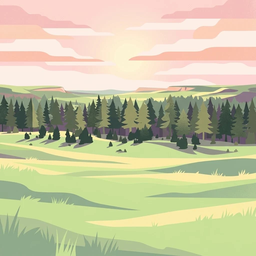
A restored Great Plains grassland born from the Dust Bowl era in northwestern South Dakota.
Grand River National Grassland
Grand River National Grassland is a federally protected grassland in northwestern South Dakota, named for the Grand River whose North and South forks converge within its boundaries. Administered by the U.S. Forest Service, it spans three counties: Perkins, Corson, and Ziebach, and its territory overlaps with both the Standing Rock Sioux Reservation and the Cheyenne River Indian Reservation.
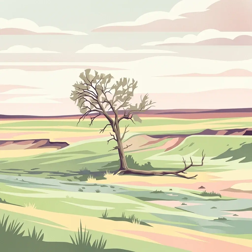
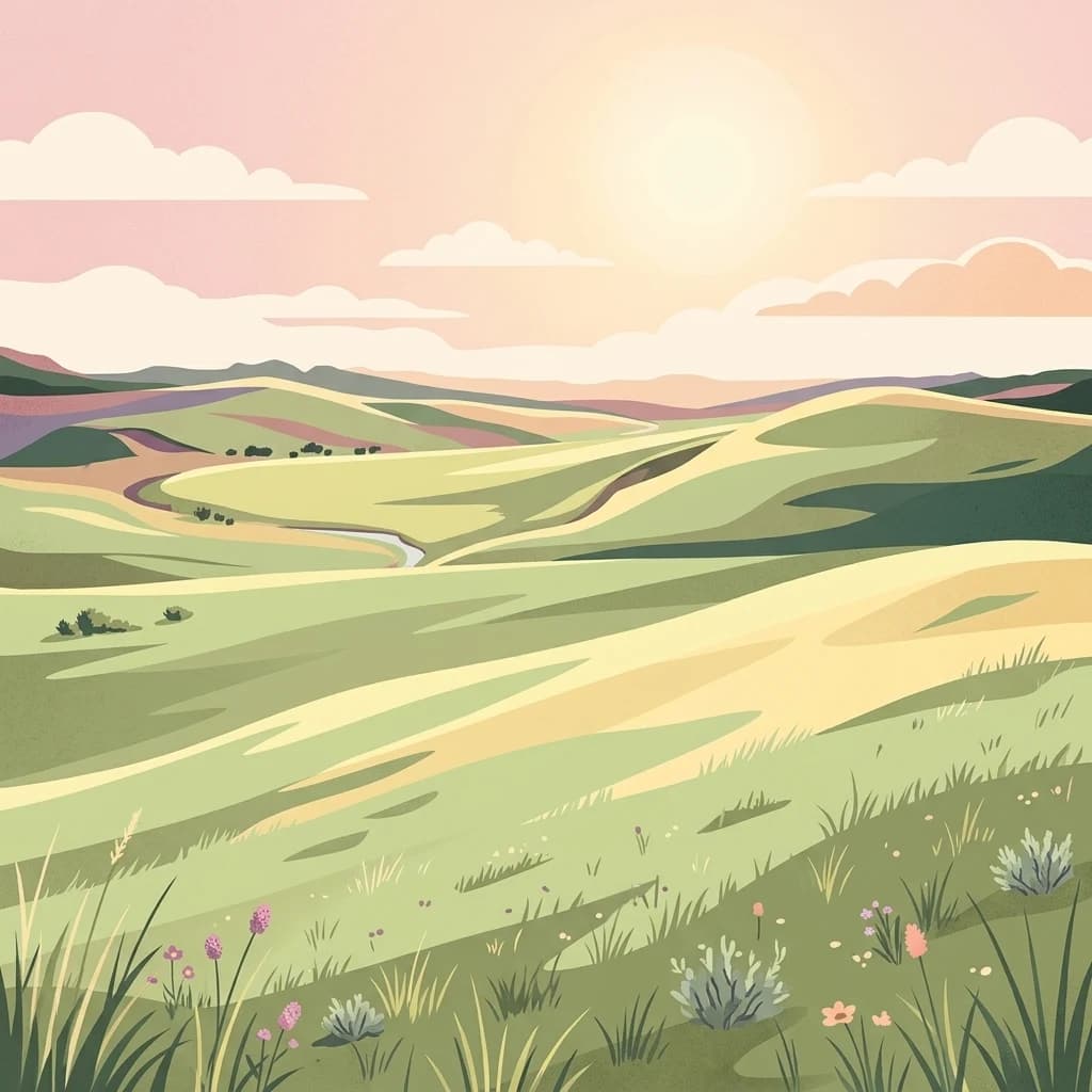
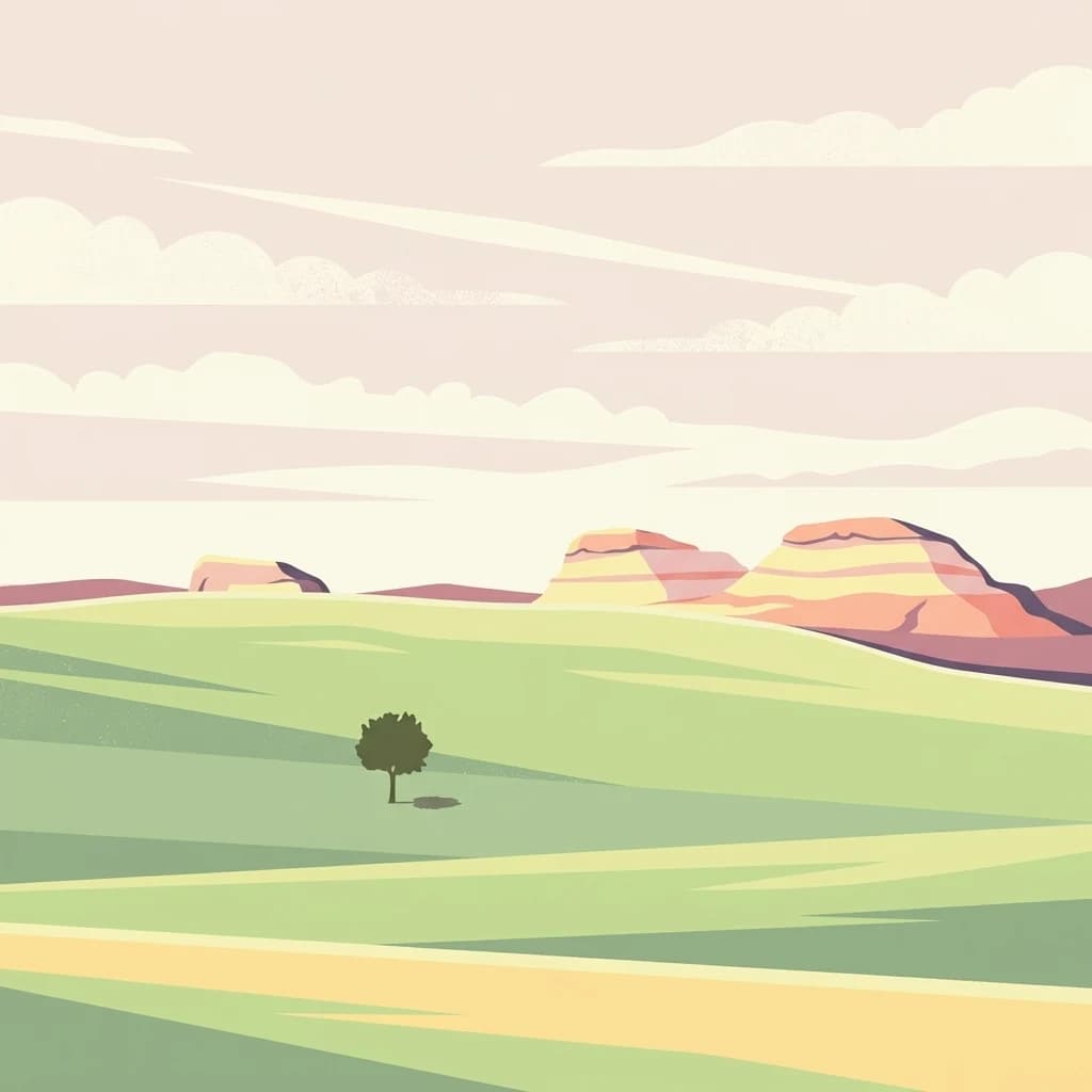
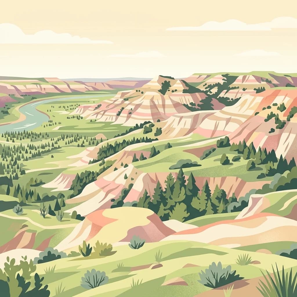
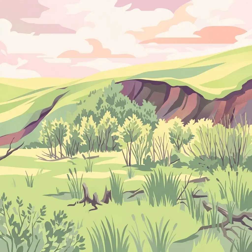
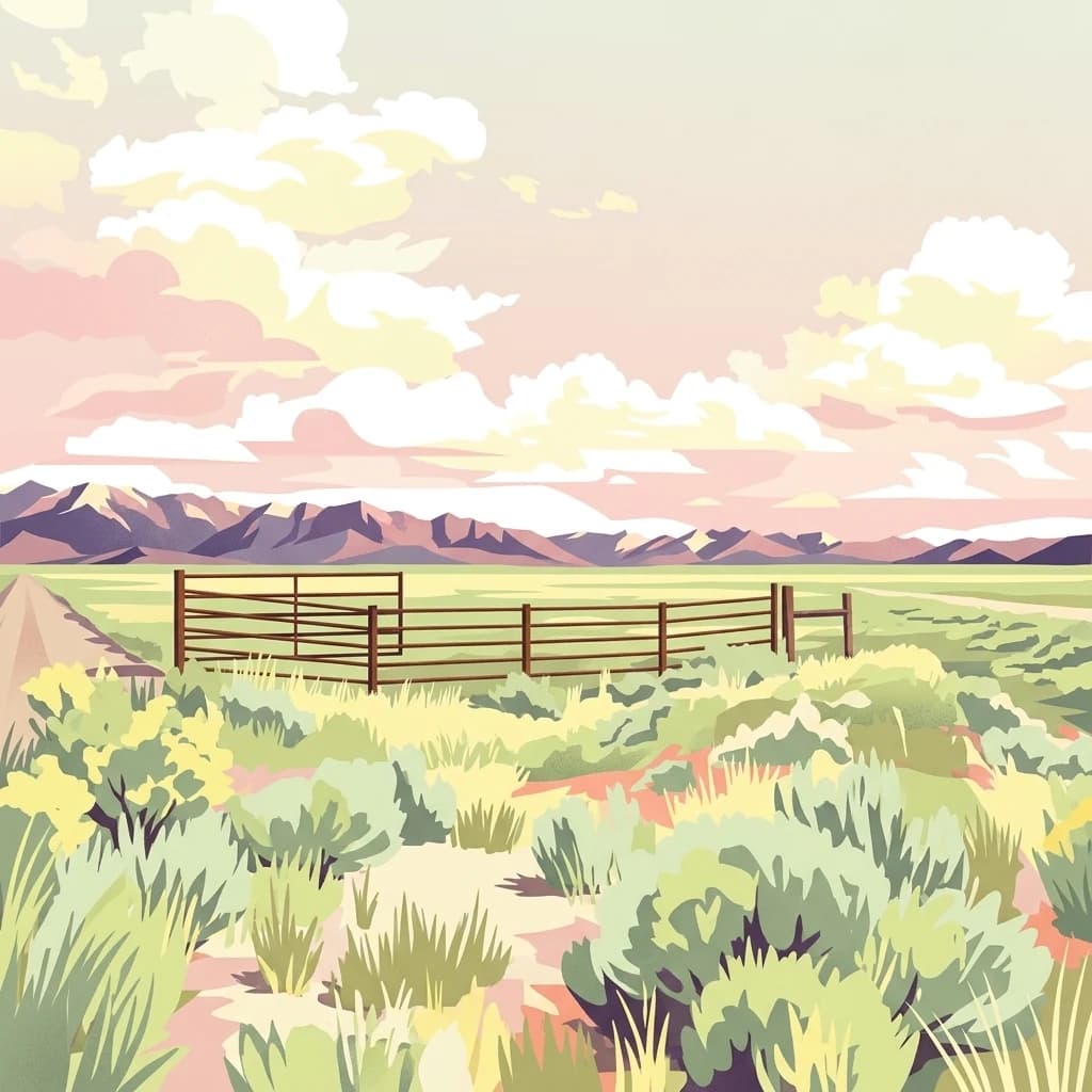
The landscape is a mosaic of mixed grass prairie, river bottom woodland, badlands, sandstone outcrops, sand dunes, and claypan flats with small playas. Originally settled by European immigrants under the Homestead Act in the early twentieth century, the area was devastated by drought and wind in the 1930s. The federal government purchased failed homesteads under the Agricultural Adjustment Act, rehabilitated the land, and formally designated it as Grand River National Grassland in 1960.
Today the grassland is managed as part of the Dakota Prairie Grasslands and is valued for its combination of restored native prairie, wildlife habitat, recreational opportunities, and cultural ties to the tribal lands it shares. It stands as a living example of how catastrophic land degradation in the Dust Bowl era was reversed through federal conservation programs.