

Why Great Barrier Reef Marine Park stands out
The Great Barrier Reef Marine Park is best known for protecting the Great Barrier Reef itself, the world's largest coral reef ecosystem, with nearly 3,000 individual reefs that together represent roughly ten per cent of all global coral reef area. Its sheer scale, combined with its extraordinary biodiversity, makes it one of the most significant marine protected areas on Earth. The park is equally famous for its pioneering approach to marine zoning. The Representative Areas Program and the 2003 zoning plan dramatically expanded no-take and protected zones, turning the park into a globally recognised model for systematic conservation planning. The marine park also stands out for its partnerships with Aboriginal and Torres Strait Islander traditional owners, recognising Indigenous stewardship as part of the reef's modern management.
Great Barrier Reef Marine Park history and protected-area timeline
The Great Barrier Reef Marine Park was created in 1975 when the Australian Government enacted the Great Barrier Reef Marine Park Act 1975. The law simultaneously established the Great Barrier Reef Marine Park Authority (GBRMPA) and defined prohibited activities on the reef. Joe Baker, who later helped drive the successful push for World Heritage listing in 1981, was among the founding figures of the authority.
From 1983 to 1987, the park was organised into four main zoning sections: Far Northern, Cairns, Central, and Mackay/Capricorn, each with its own zoning plan. A fifth section, Gumoo Woojabuddee, was declared in 1998. Conservation planning advanced significantly in 2003, when a single overarching Great Barrier Marine Park Zoning Plan 2003 superseded these earlier arrangements and took effect on 1 July 2004. The rezoning, developed with the help of MARXAN systematic conservation planning software, expanded no-take areas from around 4.6 per cent of the park to roughly 33.3 per cent. For a time, this made the park the largest protected sea area in the world, before the Northwestern Hawaiian Islands National Monument surpassed it.
The 2004 rezoning became an internationally cited benchmark for marine ecosystem conservation. A 2006 review of the underlying act recommended a pause on further zoning changes and introduced a requirement for a peer-reviewed Outlook Report every five years, examining reef health, management, and environmental pressures. Subsequent events shaped the park's public profile and challenges. In April 2010, the Chinese bulk carrier Shen Neng 1 ran aground inside the marine park, causing the 2010 Great Barrier Reef oil spill. Two years later, legislation was introduced that required developers to contribute to the Reef Trust, a move seen by some as changing how development approvals in the catchment are evaluated.
Indigenous recognition has become a defining feature of the park's recent history. In May 2022, the Darumbal people were formally recognised as the traditional custodians of approximately 36,606 square kilometres of ocean off Central Queensland under a Traditional Use of Marine Resources Agreement (TUMRA), the largest such agreement on the reef. This partnership with GBRMPA and the Queensland Department of Environment, Tourism, Science and Innovation marked a deepening of co-management arrangements between the authorities and the region's First Nations peoples.
Great Barrier Reef Marine Park landscape and geographic character
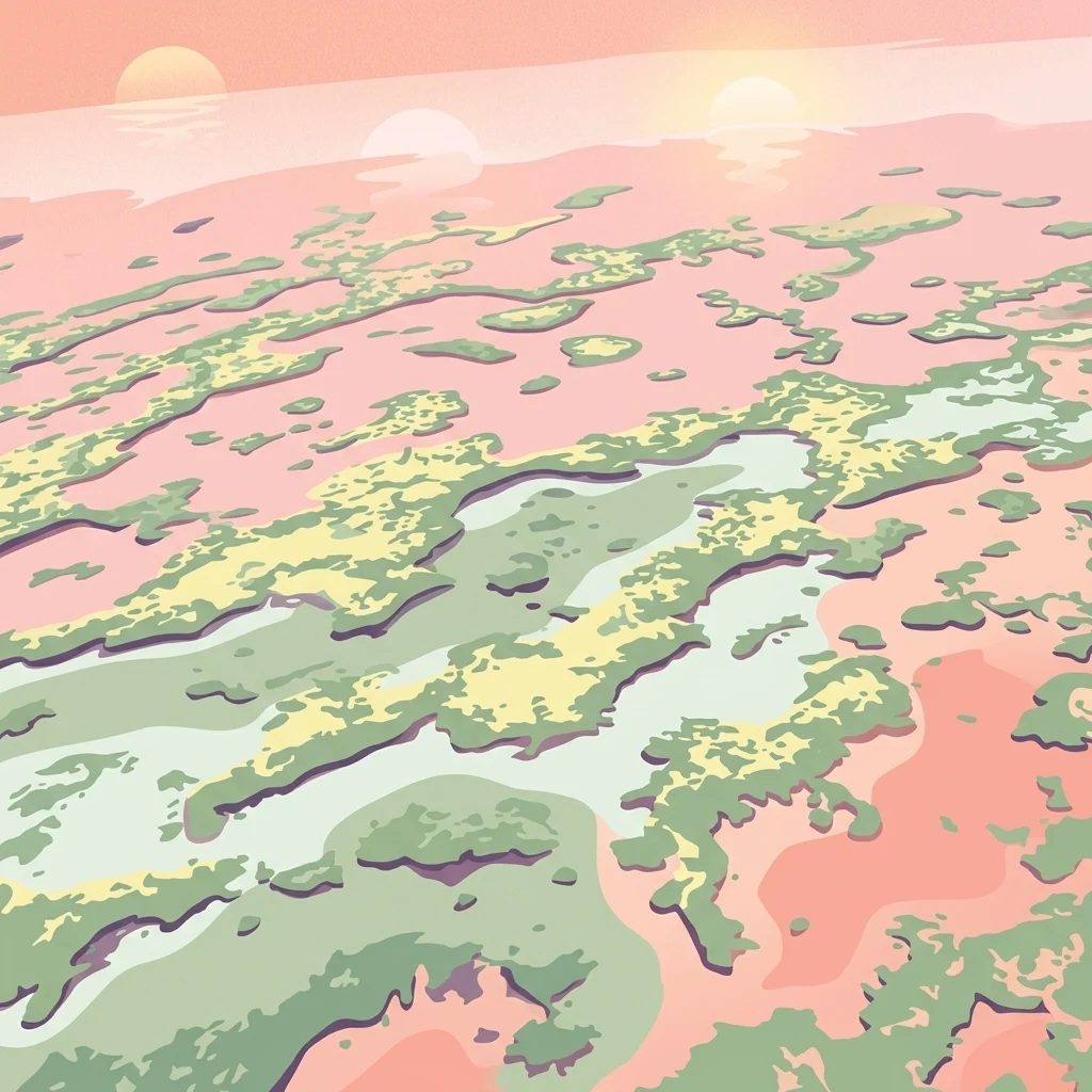
The Great Barrier Reef Marine Park encompasses a sweeping tropical marine landscape along Queensland's northeast coast. From the air, the reef appears as a vast, lace-like mosaic of turquoise lagoons, deeper channels, and reef structures, interrupted by small sand cays and forested continental islands. Onshore, the park borders a coastline of beaches, estuaries, mangrove forests, and river mouths that feed into the marine environment.
At its northern end, the park begins near Cape York and its marine boundary follows the 10°41'S parallel of latitude, sweeping east to the edge of the reef system. This northern section includes several small Torres Strait Islands such as Albany Island, Turtle Head Island, Trochus Island, Mai Island, Bush Island, Tree Islet, and Brewis Island, along with a few unnamed islets. The largest of these, Turtle Head Island, covers only about 12.8 square kilometres, underscoring how the park is overwhelmingly a seascape rather than a collection of large landmasses.
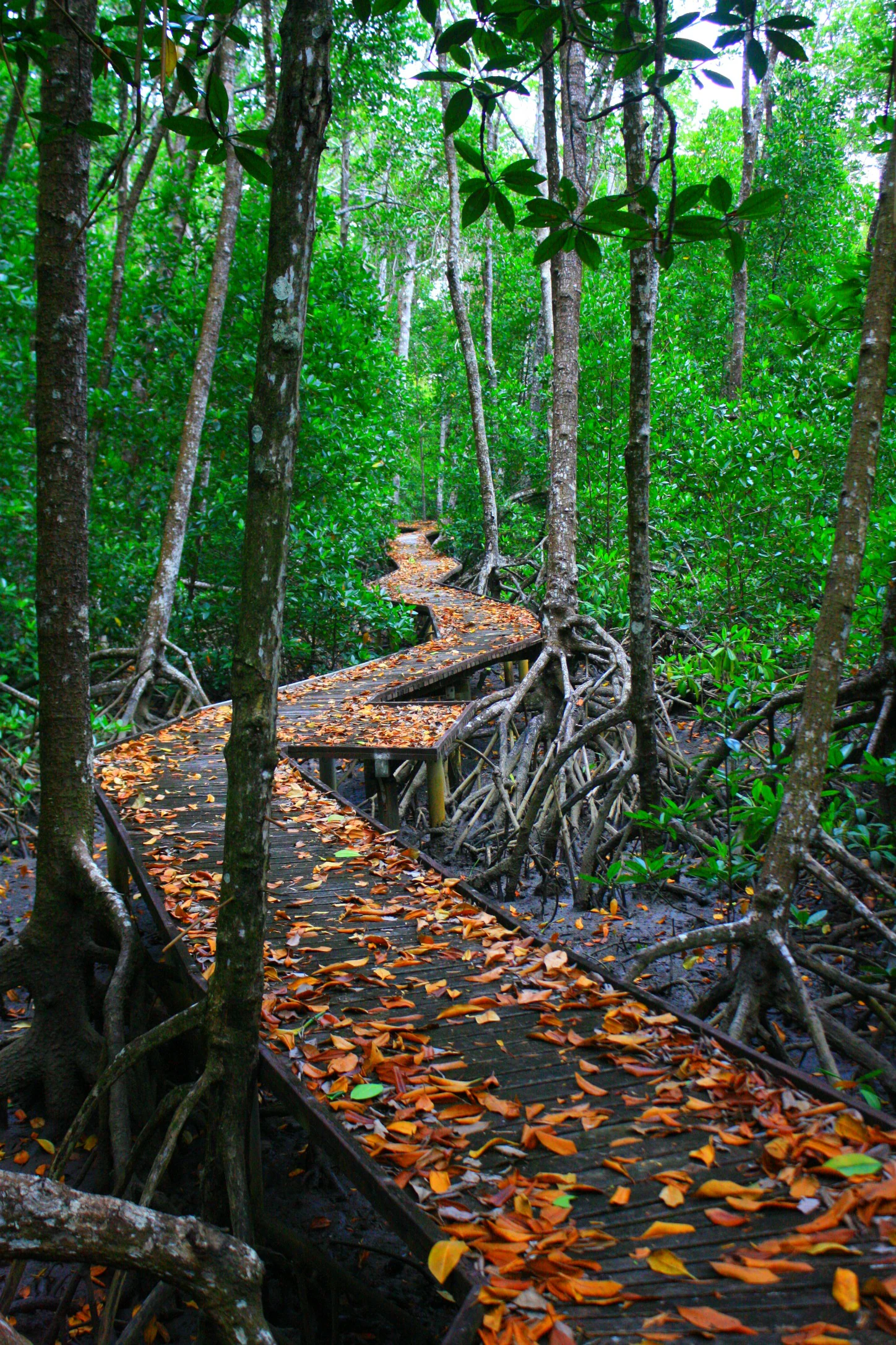
Further south, the park boundary cuts past Gladstone and reaches down toward Lady Elliot Island, a low coral cay near the southern end of the reef system. Throughout its extent, the marine park overlaps coastal estuarine zones such as the mangrove boardwalks that border parts of the reef, where tidal creeks and sheltered wetland habitats meet the open reef environment. The result is a continuous gradient from terrestrial and estuarine habitats along the Queensland coast into the open waters and reef flats of the Coral Sea.
Great Barrier Reef Marine Park ecosystems, habitats, and plant life
Ecologically, the Great Barrier Reef Marine Park is dominated by one of the richest tropical marine systems on Earth. Its roughly 3,000 individual reefs collectively account for about ten per cent of the world's coral reef area, forming a chain of living structures built from thousands of coral species and other invertebrates. These reefs in turn create habitat for an immense variety of marine life, from algae and other marine plants to bony fish, sharks, rays, marine mammals, sea turtles, and sea snakes.
The park's biodiversity is structured through a system of bioregions. The Great Barrier Reef World Heritage Area has been divided into seventy bioregions, of which thirty are reef-based and forty are non-reef, capturing the full range of habitats from shallow reef flats and coral cays to deeper open-water environments and soft-sediment seabeds. This bioregional framework underpins the Representative Areas Program, which protects representative examples of each habitat type through carefully placed no-take zones.
Alongside the offshore reef, estuarine and coastal habitats are integral to the park's ecological character. Mangrove forests line parts of the Queensland coast bordering the marine park, providing nurseries for fish and filtering nutrients before they reach the reef. Visitors moving between shoreline boardwalks and reef environments can see how interconnected the system is, with coastal wetlands, seagrass beds, and reef communities functioning together as a single tropical marine ecosystem.
Great Barrier Reef Marine Park wildlife and species highlights
The Great Barrier Reef Marine Park supports an extraordinary density and diversity of marine wildlife. Its reefs are home to thousands of species of coral and other invertebrates, which in turn sustain bony fish, sharks, rays, marine turtles, and sea snakes. Larger animals such as marine mammals also move through the park, depending on its waters for feeding, breeding, or migration.
Some of the most charismatic species associated with the park include marine turtles and reef sharks, while the smaller reef fish, rays, and invertebrates give the system much of its everyday richness. Conservation management recognises the migratory habits of many species, which is why the park's protection efforts intersect with international agreements such as CITES, JAMBA, and CAMBA.
One of the park's most discussed wildlife dynamics is the role of the crown-of-thorns starfish (Acanthaster planci). Although native to the reef, periodic outbreaks of this starfish can cause significant coral loss, and managing these outbreaks has become a major focus of reef science. Efforts such as the COTSBot, developed by the Queensland University of Technology, are part of wider strategies to identify and control outbreaks while dealing with the broader pressures the reef faces.
Great Barrier Reef Marine Park conservation status and protection priorities
The Great Barrier Reef Marine Park is one of the most consequential conservation instruments in the Southern Hemisphere. It was created specifically to protect the Great Barrier Reef, the world's largest coral reef ecosystem, and its near-3,000 reefs from damaging activities, while still allowing sustainable uses such as tourism, regulated fishing, and Indigenous traditional practices.
At the heart of its conservation model is zoning. Under the Representative Areas Program, the World Heritage Area is divided into seventy bioregions, and representative examples of each are safeguarded in no-take zones. The 2003 zoning plan, effective from July 2004, expanded the proportion of the marine park protected from extractive activities from roughly 4.6 per cent to 33.3 per cent, a move widely recognised internationally as a benchmark for marine conservation planning.
The park's conservation mandate also extends beyond its own boundaries through a dense web of international, national, and state-level instruments. International frameworks influencing its management include the Bonn Convention, Ramsar (covering the Bowling Green Bay National Park site), CITES, JAMBA, and CAMBA. Australian federal laws, including the Great Barrier Reef Marine Park Act 1975 and the Environment Protection and Biodiversity Conservation Act 1999, set the broader legal framework, while Queensland legislation such as the Marine Parks Act 1982 and the Fisheries Act 1994 govern state-level activity. Tools like the East Coast Trawl Management Plan 1999 and the Fisheries (Coral Reef Fin Fish Fishery) Management Plan 2003 show how fishing is regulated to reduce pressure on reef fish populations.
Outlooks on the park's condition remain cautious. The Great Barrier Reef Outlook Report, required every five years under section 54 of the 1975 Act, has identified climate change, land-based run-off, coastal development, certain fishing impacts, and illegal fishing and poaching as the most serious ongoing threats. Crown-of-thorns starfish outbreaks have added a biological dimension to these pressures, making the park a focal point of global research on coral reef resilience and large-scale marine management.
Great Barrier Reef Marine Park cultural meaning and human context
The Great Barrier Reef Marine Park is deeply entwined with the cultural heritage of Aboriginal and Torres Strait Islander peoples whose traditional connections to sea Country long predate its formal protection. Recognising this, the park has increasingly moved towards co-management arrangements with traditional owners as central partners in reef governance. n The most prominent example is the 2022 Traditional Use of Marine Resources Agreement (TUMRA) with the Darumbal people, recognising them as the traditional custodians of approximately 36,606 square kilometres of ocean off the Central Queensland coast, the largest such agreement on the reef. The agreement established a formal partnership between the Darumbal, the Great Barrier Reef Marine Park Authority, and the Queensland Department of Environment, Tourism, Science and Innovation, and was marked by a ceremony on the beach at Emu Park.
In the north, the marine park boundary incorporates several Torres Strait Islands east of Cape York, reinforcing the park's ties to Island communities. The broader direction of management has shifted from purely technical conservation towards acknowledging Indigenous knowledge, stewardship, and traditional use as integral to the park's identity and future, alongside its global reputation for science-based marine conservation.
Top sights and standout views in Great Barrier Reef Marine Park
The Great Barrier Reef Marine Park stands out as one of the few protected areas of truly planetary significance, safeguarding nearly 3,000 reefs that together represent about ten per cent of all coral reef area worldwide. Its sheer scale and ecological richness place it among the most important marine protected areas ever created.
What sets the park apart is not only its natural value but the design of its protection. The Representative Areas Program and its bioregional framework protect a representative cross-section of habitats, while the marine park authority pairs no-take zones with carefully regulated tourism, fishing, and shipping to keep the reef productive and resilient. Recognition of Aboriginal and Torres Strait Islander peoples as traditional custodians through instruments like the Darumbal TUMRA adds a model of Indigenous partnership that increasingly shapes how the park is managed for the future.
Best time to visit Great Barrier Reef Marine Park
The Great Barrier Reef Marine Park lies in the tropics off northeast Queensland, where weather and water conditions follow distinctive seasonal patterns rather than temperate four-season cycles. The cooler dry season, broadly corresponding to the Australian winter and early spring months, generally brings calmer seas, clearer water, and excellent visibility for reef viewing, diving, and snorkelling. Sea surface temperatures are lower, and the risk of tropical cyclones is at its lowest.
The warmer wet season brings higher water temperatures, increased rainfall runoff from the Queensland coast, and a greater chance of storms and tropical cyclones, especially from late summer into autumn. These conditions can affect water clarity and the character of reef experiences. Many visitors time their trips to take advantage of the calmer, clearer conditions of the dry season, when underwater visibility is typically at its best and reef wildlife observation is most rewarding. Sea temperatures are warmer year-round than in temperate waters, so reef-based activities remain possible outside the dry season, though conditions can be more variable.
