Mori Atlas logo
Park earthquake history

A comprehensive index of historical seismic events catalogued near the Vermont forest landscape

Recorded Historical Earthquake Activity Associated with Green Mountain National Forest

This historical collection details recorded seismic events associated with Green Mountain National Forest through proximity to its epicentre coordinates. Each entry provides verified event data including origin dates, magnitude scales, and depth metrics to support regional geographic analysis. By tracing these historical patterns, users can review the seismic activity documented in the vicinity of this extensive Vermont protected area.

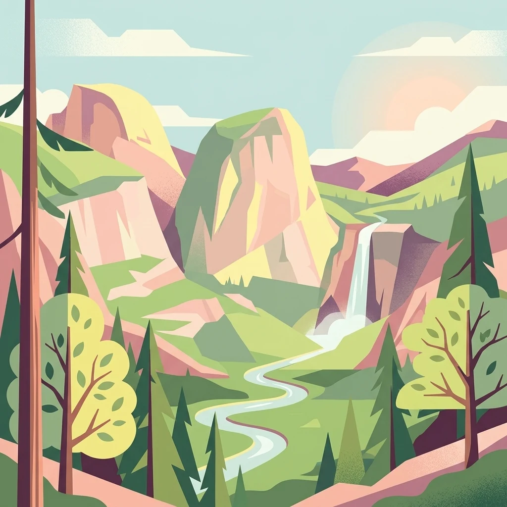
A flat-design, vector-style illustration showing a valley with large rock formations, a winding river, a waterfall, and evergreen trees under a soft-toned sky.

Vermont's granite backbone of broadleaf forest, ridges, and protected wilderness

Green Mountain National Forest

Green Mountain National Forest is a substantial national forest running through the spine of Vermont in the northeastern United States. It occupies large portions of the Green Mountains, the long ridgeline that bisects the state and has been described as Vermont's granite backbone. The forest falls within the New England/Acadian forests ecoregion, a temperate broadleaf and mixed forest biome that supports hardwood slopes, conifer stands, high-elevation spruce-fir communities, and extensive corridors of undeveloped woodland. The forest encompasses eight federally designated wilderness areas, two national recreation areas, and segments of three nationally recognized long-distance trails, including parts of the Appalachian Trail and the Long Trail. Beyond its wilderness core, Green Mountain National Forest supports a mosaic of working forest land, alpine ski areas, Nordic ski networks, and roughly 900 miles of multiple-use trails. Together, these features make it one of only two national forest units in New England and a defining part of Vermont's outdoor identity. Established in 1932 in response to severe overlogging, fire, and flooding in the early twentieth century, the forest has grown from a small federal holding surrounded by mostly private land into a much larger landscape where the U.S. Forest Service administers nearly 400,000 acres. It serves as both a conservation anchor and a recreational backbone for Vermont, linking small towns, ski resorts, backcountry wilderness, and the broader Appalachian hiking tradition.

Location
United States of America
Park type
Protected landscape
Established
1932
Area
1,615.3 km²
Green Mountain National Forest Geography

Search Green Mountain National Forest events by depth and distance

Investigate recorded earthquakes near Green Mountain National Forest

Green Mountain National Forest’s earthquake collection positions regional reports through epicentre geography and measured distance from the Vermont mountain landscape. Dates, magnitudes, depths, reported localities, separations, and source documentation can be compared as stored evidence without suggesting that the Appalachian terrain caused the events or that the catalogue measures current risk.

Sort by
Magnitude
Location

This page describes catalogued earthquakes associated with the park by epicentre location and distance. It does not establish causation, assess current danger, or predict future earthquakes.

No earthquake records match the current filters

Park atlas

Continue beyond Green Mountain National Forest earthquake data

Explore additional parks after Green Mountain National Forest

The Green Mountain National Forest earthquake page uses this section to open routes into other atlas parks beyond Vermont’s Appalachian ridges, mixed forest, and river landscapes. A destination may have a different designation, continent, terrain, geology, and amount of earthquake evidence, so the links must not be interpreted as proximity, seismic similarity, comparable hazard, or a shared risk assessment.
Wildlife reserveBennington County
Park boundaries overlap#1 closest

South

George D. Aiken Wilderness: Protected Forest Landscapes and Ridgelines in Vermont

Detailed geographic overview of a Green Mountain wilderness reserve

Spanning over 4,800 acres in Bennington County, the George D. Aiken Wilderness stands as a significant protected area within the southern Green Mountains. The terrain features narrow ridgelines, steep valleys, and a dense canopy of northern hardwoods that remain unmanaged to maintain wilderness standards. This area serves as a primary geographic anchor for Eastern wilderness preservation efforts in the United States.

Area
19 km²
Established
1984
IUCN
Ib
Relief
Mountain
Protected areaAddison County
Mapped location lies within the park boundary#2 closest

Southeast

Joseph Battell Wilderness: Mapping Protected Ridges in the Green Mountain National Forest

A high-elevation Appalachian landscape in Addison County, Vermont.

Spanning over twelve thousand acres, the Joseph Battell Wilderness preserves a critical core of the Green Mountains. This protected area features dramatic cliff faces like Mount Horrid and a continuous sequence of summits exceeding three thousand feet. The region provides a deep look at northern hardwood habitats and the geographic influence of the Long Trail within the broader Vermont mountain landscape.

Area
49.92 km²
Established
2006
Relief
Mountain
Climate
Temperate
A horizontal watercolor painting depicting a winding river flowing through a lush, forested valley with rolling hills in the background.
Wildlife reserveVermont
Park boundaries overlap#3 closest

South

Lye Brook Wilderness: Protected High Plateau and Forest Geography in Southern Vermont

Mapped wilderness boundaries within the Green Mountain National Forest

Spanning nearly 18,000 acres, Lye Brook Wilderness offers a deep dive into southern Vermont's natural geography. The area features a high forested plateau, complex brook valleys, and elevated ridgelines that characterize this established wilderness reserve. Ideal for those studying the regional landscape and its protected ecosystem, this record provides essential context on the forest cover, glacial terrain, and the geographic significance of this Vermont backcountry unit.

Area
73.34 km²
Established
1975
IUCN
Ib
Protected landscapeVermont
Mapped location lies within the park boundary#4 closest

South

Robert T. Stafford White Rocks National Recreation Area: Protected Landscape and Regional Geography

Southern Vermont wilderness, quartzite formations, and Appalachian Trail corridors.

Robert T. Stafford White Rocks National Recreation Area represents a unique fusion of protected forest and rugged geological character in southern Vermont. Known for the quartzite rockslides of Chaos Canyon and its inclusion of two distinct wilderness areas, this territory offers a complex terrain profile. Spanning over 36,000 acres, it serves as a central hub for regional backcountry exploration, blending dense hardwood ecosystems with the prominent rocky outcrops that define its distinct mountainous identity.

Area
147 km²
Established
1984
Water
Major water bodies
Protected landscapeNew Hampshire
20 km away#5 closest

East

White Mountain National Forest: Protected Landscape Atlas and Geographic Boundary Context

Mapping the alpine ridges and river valleys of New Hampshire

Delve into the geography of White Mountain National Forest, a primary federal protected landscape in the eastern United States. This overview details the mountainous terrain, including the Presidential Range and Pemigewasset Wilderness, providing a clear window into its spatial scale, watershed boundaries, and regional prominence within the New England landscape.

Area
3,038.59 km²
Established
1918
Relief
Mountain
Climate
Temperate
A horizontal watercolor painting showing a wide coastal estuary with gentle hills in the background, a winding body of water in the middle ground, and soft green trees and shrubs in the foreground.
Nature reserveNew Hampshire
About 137 km away#6 closest

Southeast

Great Bay National Estuarine Research Reserve: Protected Coastal and Estuarine Geography

Regional tidal habitat and protected watershed in New Hampshire

Great Bay National Estuarine Research Reserve protects a vital coastal landscape characterized by broad tidal basins, fringing salt marshes, and inland woodlands. Located in southeastern New Hampshire, this nature reserve serves as an essential site for studying the intersection of freshwater and saltwater ecosystems, preserving a mosaic of land and water that illustrates the complex geography of the Atlantic coast.

Area
41.42 km²
Established
1989
Relief
Lowland
Climate
Temperate
A soft, painterly watercolor illustration showing a shallow waterway, green grassy islands, and soft rolling hills in the distance.
Nature reserveQuebec
146 km away#7 closest

North

Îles de la Paix Migratory Bird Sanctuary: Protected Island Geography and Wetland Maps

A vital riverine habitat within the St. Lawrence River basin

Examine the unique river-island topography of the Îles de la Paix Migratory Bird Sanctuary in Quebec. This protected area offers a rare glimpse into a dynamic landscape of marshes and flooded forests, serving as a critical node in the St. Lawrence River migratory flyway near the Montreal metropolitan region.

Area
10.92 km²
Established
1972
IUCN
III
Relief
Lowland
A soft, watercolor painting of a calm river winding through a green landscape with trees and rolling hills in the background.
Wildlife reserveQuebec
About 147 km away#8 closest

North

Réserve nationale de faune des îles de la Paix: Geography of an Island Wetland Refuge

A protected wildlife corridor in southwestern Quebec

The Réserve nationale de faune des îles de la Paix comprises a cluster of islands and protected wetlands in the St. Lawrence River. This site provides critical nesting and staging grounds within a managed habitat system, connecting forested terrestrial areas with expansive aquatic zones essential for migratory bird species.

Area
1.87 km²
Established
1977
IUCN
Ia
Relief
Lowland
MoriAtlas Explorer

Explore the Detailed Geography and Protected Landscapes of Green Mountain National Forest

Continue your atlas-driven discovery by examining the precise boundaries and rugged terrain of Green Mountain National Forest. Use MoriAtlas to trace the ridgelines, wilderness areas, and forest corridors that define this significant conservation landmark in Vermont.