

Islands
Park geography
Technical data on mapped boundaries, coastal terrain, and wetland environments
Comprehensive Geographic Profile of Hamburg Wadden Sea National Park in Germany
Examine the physical structure and regional context of Hamburg Wadden Sea National Park through precise mapping data. This profile covers the total surface area of 137.5 square kilometers, boundary perimeters, and the inclusion of coastal islands such as Neuwerk and Scharhörn. Analyze the park within its specific marine and wetland environment situated in the Helgoländer Bucht.
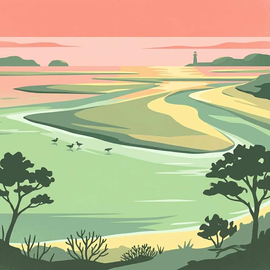
Germany's smallest Wadden Sea park protecting a unique tidal ecosystem
Hamburg Wadden Sea National Park
Hamburg Wadden Sea National Park is the smallest of the three German Wadden Sea National Parks that collectively protect the tidal flats stretching from Den Helder in the Netherlands to Esbjerg in Denmark. Located as an exclave of the city state of Hamburg in the North Sea, the park lies approximately 12.5 kilometers off the coast of Cuxhaven at the mouth of the Elbe River in the German Bight. The protected area encompasses the islands of Neuwerk, Scharhörn, and Nigehörn, together forming a distinctive landscape of sand and mixed mudflats, shallow tidal channels, sand bars locally called _Plaaten_, and dune islands. The park protects one of the world's most significant tidal ecosystems, characterized by its vast intertidal mudflats that emerge and submerge with the twice-daily rhythm of the North Sea. This dynamic environment supports an extraordinary concentration of biodiversity, with approximately 2,000 animal species recorded within the park's boundaries, including some 250 species endemic to the salt marshes of the Wadden Sea. The park serves as a critical refuge for marine mammals, particularly common seals and gray seals, and functions as an internationally important resting and molting area for millions of migratory birds. In 2011, Hamburg Wadden Sea National Park was inscribed as part of the UNESCO World Heritage Site recognizing the Wadden Sea as a natural phenomenon of outstanding universal value. The park's inclusion highlights its intact intertidal ecosystem, its significance as a breeding and staging area for numerous bird species, and the uniquely high biodiversity found within its tidal habitats.
- Location
- Germany
- Park type
- National park
- Established
- 1990
- Area
- 137.5 km²
Location overview
Marine, coastal, and island jurisdiction within the Hamburg region
Geographic Profile of Hamburg Wadden Sea National Park in Germany
Hamburg Wadden Sea National Park is located within the Hamburg region of Germany. Coastal, island, and marine classifications define the geographic status of the protected sanctuary.
- Countries
- Germany
- Regions
- Hamburg
- Primary location
- Hamburg
- Geographic setting
- Coastal · Island · Marine
Boundary and coordinates
Spatial footprint and geographic dimensions spanning 137.5 square kilometers
Hamburg Wadden Sea National Park Boundary Map and Geographic Limits
The mapped outline provides vital spatial context for protected coastal waters. Structured geographic records compile estimated area, coordinate limits, and central coordinate data.
- Boundary area
- 136.9 km²
- Boundary perimeter
- 63.4 km
- Northernmost point
- 53.9836° N
- Southernmost point
- 53.8434° N
- Easternmost point
- 8.576° E
- Westernmost point
- 8.211° E
- Geographic centre
- 53.9356° N, 8.4221° E
- North–south span
- 15.6 km
- East–west span
- 24 km
Terrain and natural features
Explore recorded islands, wetlands, and water bodies within this lowland protected landscape
Hamburg Wadden Sea National Park Terrain and Named Natural Features
This protected area features a lowland relief classification alongside recorded named natural features located entirely within its boundaries. Review the linked feature cards to inspect specific types, measurements, and spatial relationships for each recorded entity.
Selected named natural features
Wetlands
Neuwerker Watt
Wetlands
Sahlenburger Watt
Wetlands
Wurster Watt
Rivers
Hundebalje
Islands
Scharhörn
Environmental setting
Analysis of lowland terrain, dominant water presence, and seasonal coastal habitats
Environmental Setting and Habitat Classifications of Hamburg Wadden Sea National Park
Recorded coastal, wetland, and marine classifications provide structured categories for interpreting the physical setting of Hamburg Wadden Sea National Park. These stored environmental metrics connect individual landscape features directly to corresponding atlas destinations.
- Relief
- Lowland
- Water
- Water-dominated
- Forest cover
- No forest cover
- Seasonality
- Strongly seasonal
Landscape features
Coast · Dunes · Islands · Rivers · Wetland
Habitat types
Wetland · Coastal habitat · Marine habitat · Dune habitat · Riverine habitat
Park atlas
Browse nearby Wadden Sea national parks and coastal protected areas, tracing the expansive tidal ecosystems across the German Bight.
Discover More Protected Areas Near Hamburg Wadden Sea National Park, Exploring the North Sea's Tidal Landscapes
After exploring Hamburg Wadden Sea National Park, compare its unique tidal flats and island ecosystems with other protected areas along the North Sea coast. Expanding your view allows for deeper atlas-style discovery, revealing the interconnected geography and conservation efforts across the wider Wadden Sea region.

National parkLower Saxony
Park boundaries overlap#1 closest
West

Lower Saxon Wadden Sea National Park: Protected Coastal Landscape & Geography Atlas
Explore mapped boundaries, intertidal zones, and Lower Saxony's natural terrain.
Delve into the Lower Saxon Wadden Sea National Park, a significant national park situated in Lower Saxony, Germany. This page serves as your atlas entry point for understanding its protected landscape, characterized by vast mudflats, salt marshes, and a crucial role as a migratory bird corridor. Discover the geographic context of this UNESCO World Heritage site and its unique intertidal ecosystem through structured map data and detailed landscape information.
- Area
- 345.8 km²
- Established
- 1986
- IUCN
- II
- Relief
- Lowland

National parkSchleswig-Holstein
1.6 km away#2 closest
North
Schleswig-Holstein Wadden Sea National Park: Germany's Largest Protected Tidal Landscape
Explore the mapped geography of this vital North Sea national park.
Schleswig-Holstein Wadden Sea National Park is a monumental protected area, recognized globally as a UNESCO World Heritage Site for its extraordinary tidal wetland ecosystem. This page offers detailed insights into its geographic scope, from the North Frisian Islands to the Elbe estuary, highlighting the dynamic interplay of mudflats, salt marshes, and coastal terrain. Discover the park's critical role as a migratory bird flyway and marine nursery, providing rich data for geographic and atlas exploration of this unique North Sea protected landscape.
- Area
- 4,410 km²
- Established
- 1985
- IUCN
- II
- Visitors
- 1.7M annual
Nature reserveLower Saxony
About 4.5 km away#3 closest
Southeast
Cuxhavener Küstenheiden Nature Reserve: Geography and Coastal Heathland Atlas
Protected heath mosaic on the North Sea coast of Lower Saxony
Cuxhavener Küstenheiden stands as a landmark protected area along the German coast, showcasing an expansive mosaic of dry sand heaths, wet heathlands, and coastal dunes. This nature reserve acts as a vital bridge between the inland sandy terrain and the tidal Wadden Sea, providing a sustained habitat managed for ecological integrity through large-scale grazing.
- Area
- 8.92 km²
- Established
- 1983
- IUCN
- IV
- Relief
- Lowland
Nature reserveLower Saxony
About 14 km away#4 closest
Southeast
Wanhödener Moor Nature Reserve: Mapping Bog Ecology in Lower Saxony, Germany
Protected raised bog and coastal wetland landscapes
Located in the district of Cuxhaven, Wanhödener Moor represents a crucial fragment of original raised bog terrain in the North German Plain. This protected nature reserve provides insight into the historic human impact on peatlands and current conservation efforts to maintain wetland ecology and bog woodland transitions across the North Sea coastal region.
- Area
- 0.39 km²
- Established
- 1986
- IUCN
- IV
- Relief
- Lowland
Nature reserveLandkreis Cuxhaven
About 31 km away#5 closest
Southeast
Wildes Moor bei Stinstedt: Protected Raised Bog and Wetland Geography in Lower Saxony
Examining Moorland Habitat and Terrain within Landkreis Cuxhaven
Wildes Moor bei Stinstedt serves as a crucial example of a small scale raised bog landscape surviving within a modified agricultural plain. This overview outlines the protected area's history of peat extraction and drainage, offering a detailed perspective on the site's ongoing role as a managed habitat for specialized bog vegetation in the North German coastal region.
- Area
- 0.57 km²
- Established
- 1984
- IUCN
- IV
- Relief
- Lowland
Nature reserveBremen
35 km away#6 closest
South
Luneplate Nature Reserve: A Detailed Geographic Atlas of Bremen's Coastal Wetland Landscapes
Protected estuarine habitats and tidal geography in the Weser river basin
Luneplate Nature Reserve offers a rich study of coastal wetland geography. Spanning the interface between the Weser river and the North Sea, the reserve features extensive mudflats, saltmarshes, and reedbeds. This protected landscape serves as an essential migratory hub, providing habitat for diverse waterbird populations within the maritime environment of Bremerhaven.
- Area
- 14.38 km²
- Established
- 2015
- IUCN
- IV
Nature reserveBremen
About 37 km away#7 closest
South
Düllhamm Nature Reserve: Protected Lowland Mosaic in Bremerhaven
Mapping the transitional forest and marshland terrain of Bremen.
Covering a small footprint, Düllhamm remains a vital nature reserve representing the lowland ecosystems of northern Germany. The area maps a unique gradient of dry oak-birch woodland shifting into wet meadows, boggy heath, and reed-covered marshes. This protected landscape offers a concentrated look at regional ecological patterns within the urbanized landscape of the Bremerhaven district.
- Area
- 0.043 km²
- Established
- 1984
- Relief
- Lowland
- Climate
- Temperate
Nature reserveLower Saxony
38 km away#8 closest
Southwest
Voslapper Groden-Süd Nature Reserve: Protected Wetland Map and Geographic Landscape
Coastal habitat mapping in Lower Saxony, Germany
Voslapper Groden-Süd represents a unique nature reserve on the North Sea coast of Lower Saxony, characterized by reclaimed land that has naturally evolved into a network of reedbeds and ponds. The site provides a critical avian refuge, set within a striking contrast of tidal geography and industrial surroundings, offering a valuable study in coastal conservation and land-use transition.
- Area
- 3.88 km²
- Established
- 2006
- IUCN
- IV
- Relief
- Lowland
MoriAtlas Explorer
Continue Exploring Hamburg Wadden Sea National Park's Geographic Context and Mapped Terrain
Deepen your understanding of Hamburg Wadden Sea National Park by examining its precise geographic boundaries and its role within the broader Wadden Sea tidal ecosystem. MoriAtlas provides structured data to help you trace the park's unique landscape characteristics, compare its protected area status, and explore the surrounding North Sea geography for comprehensive regional context.
Browse next
Global natural geography
Explore related park routes
Explore MoriAtlas Global ParksBrowse All MoriAtlas ParksGlobal Park Map DiscoveryMoriAtlas: Browse All CountriesBrowse All MoriAtlas ContinentsNational Park Environment AtlasGrand Canyon National Park AtlasYellowstone National Park AtlasYosemite National Park Atlas and GeographySerengeti National Park AtlasGalápagos National Park Protected LandscapeBanff National Park Geography and AtlasKruger National Park Atlas EntryUluṟu-Kata Tjuṯa National Park AtlasExplore Uluru-Kata Tjuta National Park GeographyPlitvice Lakes National Park AtlasFiordland National Park Protected LandscapeGreat Smoky Mountains National Park AtlasAfghanistan National Parks and Protected AreasAlbania National Parks and Protected AreasAlgeria National Parks and Protected AreasAmerican Samoa National Parks and Protected AreasAndorra National Parks and Protected AreasAngola National Parks and Protected AreasAntarctica National Parks and Protected AreasAntigua and Barbuda Park List