Waterfalls
Pinaisara Falls
55 m high

Detailed map extents, regional landscape features, and environmental composition data
This geographic profile details the physical dimensions of Iriomote-Ishigaki National Park, covering 1221.5 square kilometers within the Okinawa Prefecture of Japan. The dataset outlines regional boundaries, coastal and island terrain characteristics, and recognized natural features including waterfalls, peaks, and marine habitats.
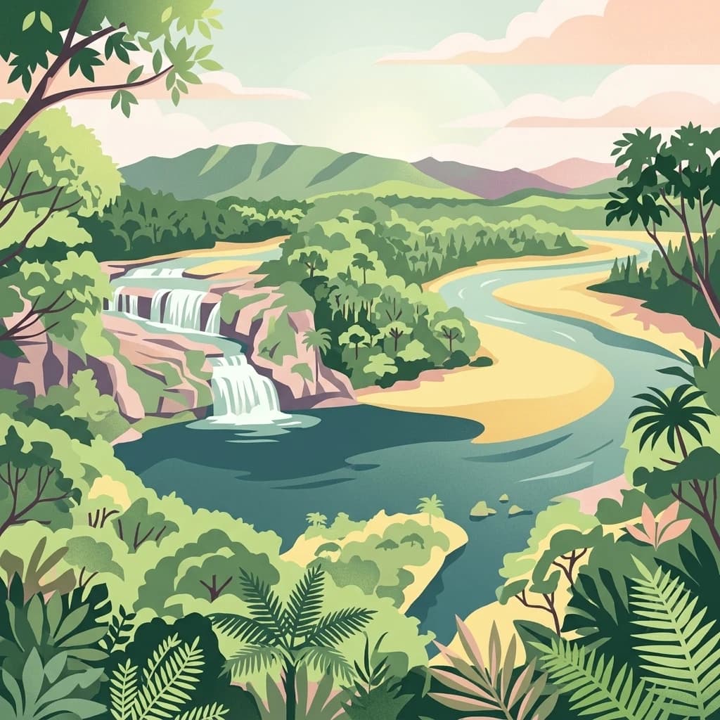
Japan's subtropical island park protecting the rare Iriomote wild cat
Iriomote-Ishigaki National Park is a subtropical island park located in Okinawa Prefecture, Japan, encompassing the Yaeyama Islands in the East China Sea. Established in 1972 as Iriomote National Park and expanded in 2007 to include Ishigaki Island, the park spans approximately 1,221.5 square kilometers of terrestrial and marine protected area. The park is globally significant as the sole remaining habitat of the Iriomote wild cat, one of Japan's rarest and most endangered mammals. Beyond its exceptional biodiversity, the park features dramatic landscapes including mangrove forests, coral reefs, limestone karsts, and pristine waterfalls that define the natural character of these remote Ryukyu Islands.
Coastal and island protected zones within Okinawa Prefecture
Mapping the geographic spread and estimated 1221.5 square kilometer area
Recorded waterfalls, rivers, streams, and coastal capes within the protected landscape
Waterfalls
55 m high
Beaches
Streams
Islands
Streams
Streams
Subtropical marine, coastal, and tropical forest classifications across island terrain
Islands · Coast · Waterfalls · Forest
Tropical forest · Coastal habitat · Marine habitat · Riverine habitat
Trace the subtropical island protected landscapes and marine ecosystems of Okinawa Prefecture.

West

Explore mapped boundaries and natural terrain in Hualien County.
Taroko National Park represents a significant protected landscape within Taiwan, offering rich opportunities for geographical exploration and understanding protected-area distribution. As a designated national park, its mapped boundaries and unique terrain provide essential context for appreciating the natural geography of Hualien County and the surrounding region. This page supports detailed discovery of Taroko National Park's identity as a distinct protected area, ideal for atlas-based research and landscape comprehension.

West
Mapped geographic boundaries and regional park context.
Shei-Pa National Park is a vital protected area in Miaoli County, Taiwan, offering rich opportunities for geographic and atlas-based exploration. Delve into the specifics of its mapped park boundaries and understand its role within the broader regional landscape. This destination provides essential context for discovering Taiwan's protected natural areas and their unique geographic characteristics.

West
Explore Taiwan's protected national park geography and mapped landscapes.
Yangmingshan National Park presents a striking example of volcanic geography, characterized by its rugged mountain terrain, active craters like Xiaoyoukeng, and ubiquitous geothermal features such as hot springs and sulfur deposits. As a protected national park within Taiwan, its landscape offers a rich context for understanding volcanic processes and alpine ecosystems. MoriAtlas provides detailed map exploration of Yangmingshan National Park, highlighting its unique geological formations and protected boundaries for an in-depth geographic discovery experience.

West
Mapped geography and dramatic peaks within Nantou County.
Yushan National Park is a crucial protected area in Taiwan, renowned for encompassing the island's highest mountain and a significant portion of the Central Mountain Range. This national park's dramatic geography spans over 103,000 hectares, with two-thirds of its territory lying above 2,000 meters. Its vertical ecological zones, from subtropical forests to alpine environments, offer a rich tapestry of landscapes ideal for atlas-style exploration of protected terrain and mountain peak geography.
Northeast

Mapped Coral Reefs and Island Protected Landscapes.
Kerama Shotō National Park, in Japan. Landscapes: islands, coasts, and beaches.

Southwest
Mapped geography and regional context for this protected area.
Kenting National Park, in Pingtung County, Taiwan. Landscapes: mountains, hills, and valleys.

West
Discover mapped boundaries and regional geography.
Taijiang National Park offers a distinct look into protected natural landscapes within Tainan, Taiwan. This page details its identity as a national park, focusing on its mapped geographic features and its contribution to the regional atlas. Users can explore the specific protected area context and understand the landscape characteristics relevant to a structured geographic discovery approach.

Southwest
Taiwan's protected nature reserve with distinct geographic features.
Shoushan National Nature Park is identified as a protected nature reserve, providing a focal point for exploring Taiwan's natural geography. This page offers insights into its specific landscape character and mapped protected boundaries, situating it within the broader context of the island's natural terrain. Discover the atlas-level details of this reserve and its role in regional conservation landscapes.
Further your exploration of Iriomote-Ishigaki National Park by examining its specific geographic features and protected area boundaries in detail. Understand how its unique subtropical island terrain, from mangrove ecosystems to karst topography, fits into the larger regional map. This provides a structured approach to comprehending the park's ecological and geographic importance.