
Mori Atlas logo
Nature reserveJungfernbach und Brandteich bei Calden

Mapping the stream corridors, forest patches, and valley topography in northern Hessen

Jungfernbach und Brandteich bei Calden: Protected Nature Reserve and Riparian Landscape Atlas

(Naturschutzgebiet Jungfernbach und Brandteich bei Calden)

Jungfernbach und Brandteich bei Calden represents a significant nature reserve in the Hessen region, preserving an ecologically coherent valley and pond landscape just northwest of Kassel. This protected area centers on the near-natural Jungfernbach stream and the adjoining Brandteich pond, creating a distinct forest corridor that contrasts with the surrounding agricultural plains. The site encompasses diverse riparian habitats and woodlands, maintaining a critical natural boundary adjacent to the historic parkland of Schloss Wilhelmsthal.

nature reserveNaturschutzgebietlowland forestlowland streamriparian habitatpond habitat
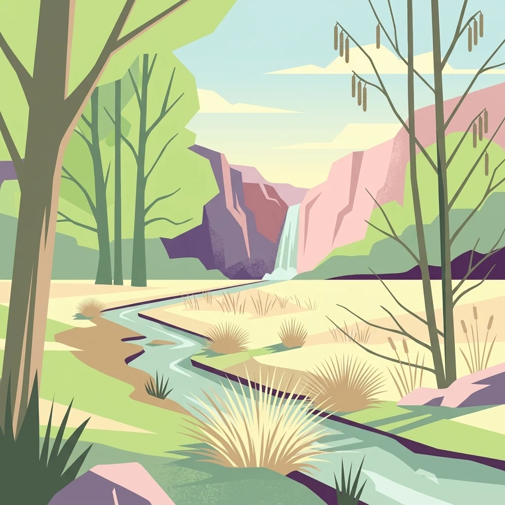
A flat-style vector illustration showing a winding stream leading toward a distant small waterfall surrounded by cliffs, trees, and tall grasses.

Jungfernbach und Brandteich bei Calden

Nature reserve

Park overview

Structured park overview, official facts, and landscape profile for Jungfernbach und Brandteich bei Calden

Jungfernbach und Brandteich bei Calden park facts, protected area profile, and essential visitor context

Review the core facts for Jungfernbach und Brandteich bei Calden, including designation, size, terrain, visitor scale, habitats, and operating context in one park-focused overview.

About Jungfernbach und Brandteich bei Calden

Jungfernbach und Brandteich bei Calden is a compact but ecologically meaningful nature reserve in northern Hesse. Despite its modest size of around 34 hectares, the site brings together three landscape elements that are individually rare in the local region: a near-natural lowland stream, a small standing-water pond complex, and adjoining broadleaf forest. The reserve's position northwest of Kassel places it in a transitional zone between the open agricultural plains of the Kassel basin and the more wooded country that rises toward the Habichtswald range.

The Jungfernbach is the central natural feature of the reserve. Within the protected area it flows as a near-natural, meandering lowland brook, retaining features such as natural bank structures, varied flow patterns, and shaded forest margins. Such conditions support the kind of aquatic and riparian habitats that have become increasingly scarce in central Germany's farmed lowlands. The Brandteich adds a contrasting still-water element, widening the range of habitats protected within the same site.

Most of the reserve's surface area is forested. The wooded sections link the aquatic features into a continuous habitat network and provide the structural diversity typical of older Hessian valley forests. The site is bordered by farmland to the north, while to the west it meets the designed landscape of Schloss Wilhelmsthal, a historic baroque residence whose park grounds create a notable cultural-natural boundary along much of the reserve.

By combining forest, stream, and pond habitats in a single protected unit, the reserve contributes to regional biodiversity conservation in a heavily farmed part of Hesse. Even though it is much smaller and less visited than large national parks, it represents the type of small-scale protected landscape that supports overall ecological quality in the Landkreis Kassel.

Quick facts and research context for Jungfernbach und Brandteich bei Calden

Jungfernbach und Brandteich bei Calden is a nature reserve located in the Landkreis Kassel in the German state of Hesse, northwest of the city of Kassel. It is catalogued under the federal area number 1633015 and the World Database on Protected Areas record 163958.

The site covers roughly 34 hectares across three separate parcels. It has been protected under Hessian nature conservation law since 24 December 1985, replacing earlier 1938 protections that covered individual landscape features in the same area. The reserve is composed mainly of forest and includes both a natural stream course and a pond system.

Protection and recognition

Official protected area designation metrics and international recognition data

Jungfernbach und Brandteich bei Calden Protection Status and Mapped Records

Jungfernbach und Brandteich bei Calden holds registered protected area records within global conservation databases. Verified administrative data details international recognition sources and formal designation status for this natural reserve.

Protection details

WDPA ID
163958
Park context

Deeper park guide and search-rich context for Jungfernbach und Brandteich bei Calden

Jungfernbach und Brandteich bei Calden history, landscape, wildlife, and travel context

Explore Jungfernbach und Brandteich bei Calden through its history, landscape character, ecosystems, wildlife, conservation priorities, cultural context, and seasonal travel timing in a structured park guide built for atlas discovery and search intent.

Why Jungfernbach und Brandteich bei Calden stands out

The reserve is best known for protecting a near-natural section of the Jungfernbach stream together with the Brandteich pond and their surrounding woodlands. It preserves a small but ecologically coherent valley and pond landscape that contrasts with the surrounding agricultural land of northern Hesse. Its location next to the historic parkland of Schloss Wilhelmsthal also gives the protected area a distinct cultural-landscape setting, where structured baroque park grounds meet the more natural forest and stream sections of the reserve.
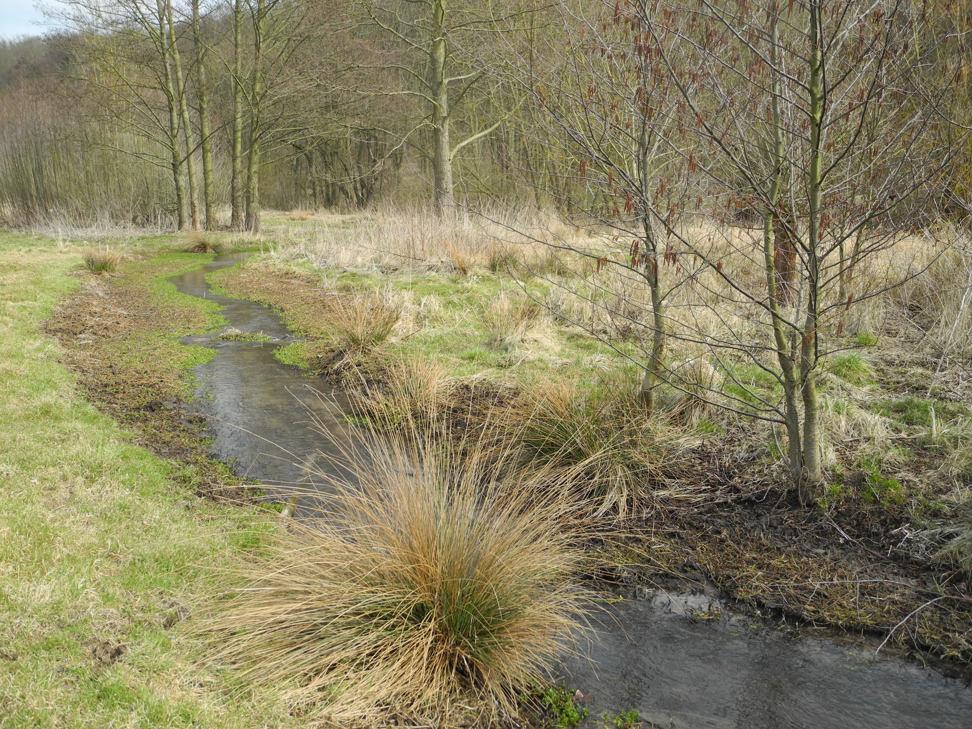
A small, winding stream flows through a grassy wetland area with scattered deciduous trees and shrubs during early spring.
The Jungfernbach stream flowing through the nature reserve.

Jungfernbach und Brandteich bei Calden history and protected-area timeline

The landscape features of the Jungfernbach valley and the Brandteich area were first placed under protective status in 1938, when individual landscape elements in the area were designated as protected landscape parts under earlier Hessian conservation rules.

In the mid-1980s, these older, more limited protections were replaced by a unified nature reserve designation. The current reserve, Jungfernbach und Brandteich bei Calden, was formally established on 24 December 1985 under Hessian nature conservation law and assigned the area number 1633015. The 1985 ordinance created the modern three-part protected area, consolidating earlier fragmentary protections into a coherent reserve focused on the stream valley, the pond, and their forested surroundings.

Jungfernbach und Brandteich bei Calden landscape and geographic character

The reserve is set in a gently rolling part of northern Hesse, just northwest of Kassel, in the transition between the open lowlands around the Kassel basin and the more elevated wooded country to the west. Its three parcels reflect the underlying valley structure of the Jungfernbach and the depression occupied by the Brandteich.

The Jungfernbach parcel follows the valley floor of a small lowland stream, with shallow slopes rising on either side toward surrounding woodland. The Brandteich parcel is shaped by a small standing-water basin and its immediate banks. Both areas are largely covered by forest, giving the reserve a visibly wooded character that contrasts with the open farmland bordering the site to the north.

A notable physical feature is the way the Jungfernbach parcel is split by the B 7 federal road, which crosses the stream and divides this section of the reserve into two halves. The western edge of both main parcels meets the historically designed parkland of Schloss Wilhelmsthal, creating a sharp boundary between the natural forest and stream corridors of the reserve and the more formal landscape architecture of the baroque estate. Elsewhere, the reserve is enclosed by continuous woodland, reinforcing its character as a forested valley landscape set apart from the surrounding agricultural plain.

Jungfernbach und Brandteich bei Calden ecosystems, habitats, and plant life

Ecologically, the reserve centers on a small but well-developed riparian and pond habitat complex set within a broader forest matrix. The Jungfernbach stream retains the structural qualities of a near-natural lowland brook, and the Brandteich provides a complementary standing-water habitat within the same protected area.

The forest cover that dominates most of the reserve supports shade-loving plant communities along the stream banks and around the pond, and connects the wet features with drier hillside woodland. This combination of flowing water, standing water, and contiguous forest is characteristic of valley landscapes in northern Hesse and creates conditions that can support a range of aquatic, amphibian, and forest-dependent species even within a relatively small area.

By safeguarding the natural structure of the Jungfernbach and by keeping the Brandteich and its surroundings free from intensive land use, the reserve also helps maintain the broader ecological network of the Landkreis Kassel, where such intact stream and pond systems have become increasingly rare.

Jungfernbach und Brandteich bei Calden wildlife and species highlights

The reserve's combination of a near-natural stream, a small pond, and surrounding forest supports the typical wildlife communities of wooded lowland valleys in northern Hesse. Conditions along the Jungfernbach favor aquatic invertebrates, stream-dwelling fish, and amphibians that depend on shaded, oxygen-rich water, while the Brandteich provides a quieter standing-water habitat for pond-associated species.

The surrounding broadleaf forest provides structural diversity that supports a range of woodland birds and small mammals typical of Hessian lowland forests. Although the reserve is small, its compact combination of habitats gives it disproportionate local value for species that require wet forest edges, undisturbed stream margins, or quiet pond environments within an otherwise heavily farmed landscape.

Jungfernbach und Brandteich bei Calden conservation status and protection priorities

Jungfernbach und Brandteich bei Calden is significant from a conservation standpoint primarily because it protects a coherent valley and pond landscape that remains rare in central Germany's farmed lowlands. The site secures a near-natural stream course, an intact small pond system, and the adjoining forest that ties these features together into a functional ecological unit.

The reserve has been registered internationally through the World Database on Protected Areas under ID 163958, reflecting its recognition as a formally protected area within the German nature conservation system. By concentrating protection on the stream valley, the pond, and their wooded margins, the site helps maintain connectivity between aquatic and terrestrial habitats in the Landkreis Kassel and contributes to the regional persistence of lowland valley ecosystems in northern Hesse.

Jungfernbach und Brandteich bei Calden cultural meaning and human context

Although the reserve itself is defined by natural landscape features, its setting is strongly shaped by cultural history. The western edge of both main parcels meets the grounds of Schloss Wilhelmsthal, a baroque residence near Calden whose designed parkland forms one of the most distinctive landscape boundaries of the protected area.

This juxtaposition gives the reserve a particular regional identity: a protected natural valley and pond system pressed directly against a formal baroque landscape that has shaped the surrounding terrain for centuries. Beyond this immediate setting, the reserve is part of a wider network of small nature conservation areas in the Landkreis Kassel, each preserving fragments of the historic cultural landscape of northern Hesse.

Top sights and standout views in Jungfernbach und Brandteich bei Calden

Three connected habitat types, a near-natural stream, a small pond, and adjoining forest, concentrated on roughly 34 hectares just northwest of Kassel.

Direct contact with the historic parkland of Schloss Wilhelmsthal, creating a sharp boundary between protected natural valley landscape and baroque designed grounds.

Formal protection as a Hessian Naturschutzgebiet since 24 December 1985, consolidating earlier 1938 protections into a single, coherent reserve.

Best time to visit Jungfernbach und Brandteich bei Calden

Because the reserve is valued for its forest, stream, and pond habitats rather than open vistas, late spring and early summer are typically the most rewarding periods for a visit. Flowering understory plants, fresh green foliage, and active birdlife along the Jungfernbach tend to make the wooded valley feel most alive in these months, while the Brandteich attracts more visible amphibian and insect activity as temperatures rise.

Autumn also has its own appeal: the broadleaf canopy turns color over the stream corridor, and the reserve's quiet forest atmosphere becomes more pronounced as visitor pressure elsewhere in the region declines. In winter, the leafless canopy opens up views along the Jungfernbach and around the pond, but weather conditions in northern Hesse can be cold and damp, and short daylight limits the time available for a comfortable visit. As with all small Hessian nature reserves, visitors should respect protected-area rules and keep to established paths.

Monthly climate preview

Long-term temperature ranges and monthly precipitation patterns across representative park coordinates

Climate Normals and Annual Weather Rhythms for Jungfernbach und Brandteich bei Calden

Representative coordinates record measured monthly temperature swings from sub-zero winter minimums to warm summer peaks alongside steady precipitation rates. Reviewing the complete twelve-month dataset provides deeper insight into long-term climate normals across the protected area.
Annual mean8 °C
-1 °C18 °C
Jan-1°
Feb
Mar
Apr
May12°
Jun16°
Jul18°
Aug18°
Sep14°
Oct
Nov
Dec
Warmest month
July

18 °C

Coolest month
January

-0.6 °C

Wettest month
July

2.5 mm/day

Driest month
April

1.5 mm/day

Park location guide

Geography guide, regional context, and park location map for Jungfernbach und Brandteich bei Calden

Jungfernbach und Brandteich bei Calden park geography, regions, and map view in Germany

Understand where Jungfernbach und Brandteich bei Calden sits in Germany through a broader geographic reading of the surrounding landscape, nearby location context, and its mapped position within the national park landscape.

How Jungfernbach und Brandteich bei Calden fits into Germany

Germany is a federal republic in Western and Central Europe with a population of over 83 million across sixteen constituent states. It is Europe's largest economy by nominal GDP and a major global exporter and importer. The capital is Berlin, and the country borders Denmark, Poland, Czech Republic, Austria, Switzerland, France, Luxembourg, Belgium, and the Netherlands.

Wider geography shaping Jungfernbach und Brandteich bei Calden in Germany

Germany is located in Western and Central Europe, spanning 357,022 km². It borders Denmark to the north, Poland and the Czech Republic to the east, Austria and Switzerland to the south, and France, Luxembourg, Belgium, and the Netherlands to the west. The country has coastlines on the Baltic Sea and North Sea to the north, with the Alps located in the southern region.

Map view of Jungfernbach und Brandteich bei Calden

Use this park location map to pinpoint Jungfernbach und Brandteich bei Calden in Germany, understand its exact geographic position, and read its mapped placement within the surrounding landscape more clearly.

Pigeon | © OpenStreetMap contributors

Location context for Jungfernbach und Brandteich bei Calden

Hessen

Visualizing protected valley habitats and wooded stream environments in northern Hesse

Jungfernbach und Brandteich bei Calden Photos, Scenery, and Landscapes

Photographic records capture the near-natural stream corridors, standing ponds, and broadleaf woodlands defining the protected nature reserve. Visual reference materials reveal the terrain structure, riparian habitats, and forested boundaries distinguishing the regional landscape.

A small, winding stream flows through a grassy wetland area with scattered deciduous trees and shrubs during early spring.

Park atlas

Discover adjacent nature reserves and regional valley landscapes across northern Hesse

Explore Protected Areas Near Jungfernbach und Brandteich bei Calden

Compare Jungfernbach und Brandteich bei Calden with other protected natural areas and lowland forest reserves throughout the surrounding region. Broaden your geographic exploration by examining connected valley habitats and nearby conservation landscapes.
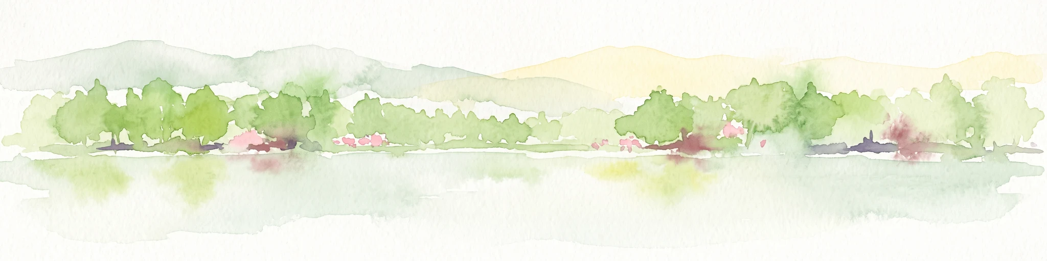
Watercolor painting of a calm wetland landscape with soft green trees along the water edge under a light, misty sky.
Nature reserveHessen
About 2.7 km away#1 closest

Northeast

Rothenberg bei Burguffeln Protected Wetland Landscape and Nature Reserve in Hessen

A specialized pond and meadow mosaic in the Hessian lowlands

Rothenberg bei Burguffeln preserves a vital wetland complex near Immenhausen, structured across three distinct sections, including the Rothenküler Teich and Tonkaule. The area represents a significant example of culturally shaped lowland geography, blending historic aquaculture with contemporary habitat management. Its protected status reflects a commitment to maintaining intricate riparian corridors and meadow ecosystems within the wider Hessian countryside.

Area
0.278 km²
Established
1983
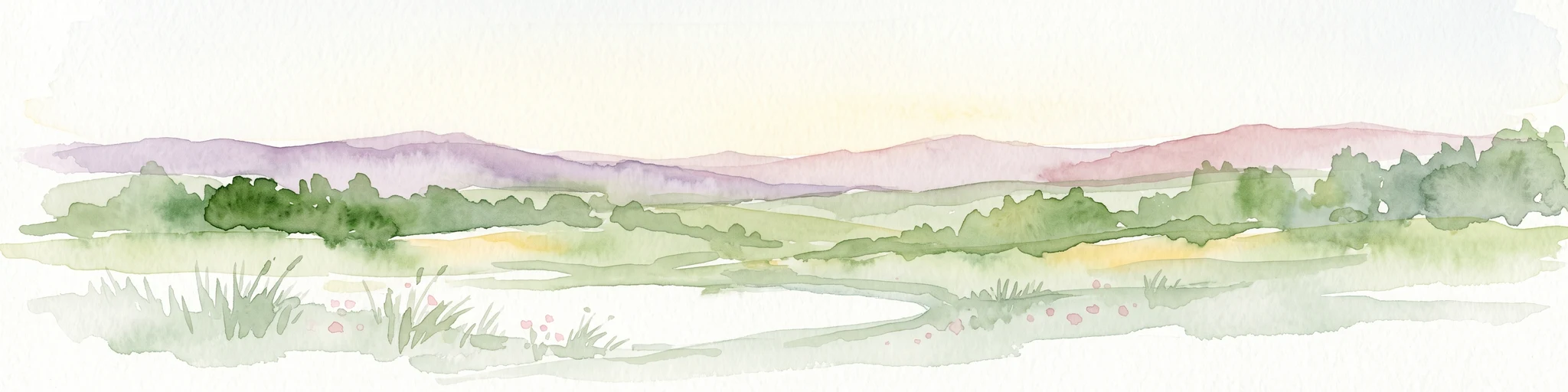
A horizontal watercolor painting showing a soft, hazy landscape with green hills, patches of grass, and purple-tinted distant mountains under a white sky.
Nature reserveLandkreis Kassel
About 3.7 km away#2 closest

Southwest

Keischel bei Weimar: Nature Reserve Protected Area and Regional Geography

A calcareous grassland mosaic in the Landkreis Kassel district

Keischel bei Weimar preserves a 19.7-hectare landscape defined by Muschelkalk limestone bedrock and traditional agricultural practices. This nature reserve serves as a critical refuge for specialized flora and insect species, showcasing the value of integrated land management within the broader West Hessian Depression and northern Hesse regional geography.

Area
0.197 km²
Established
1992
Relief
Upland
Climate
Temperate
A soft watercolor illustration showing a band of green trees reflecting in calm water, with a light hilly background.
Nature reserveHessen
About 7.2 km away#3 closest

Northeast

Bennhäuser Teich und Rothbalzer Teich bei Immenhausen: Protected Nature Reserve and Landscape Atlas

Mapped woodland and wetland habitats in Hessen, Germany.

This nature reserve centers on historic impoundment ponds and complex valley hydrology. Its landscape features rare dragonfly habitats and successional carr woodlands that define the ecological identity of this protected area within the northern Hessen countryside.

Area
0.315 km²
Established
1998
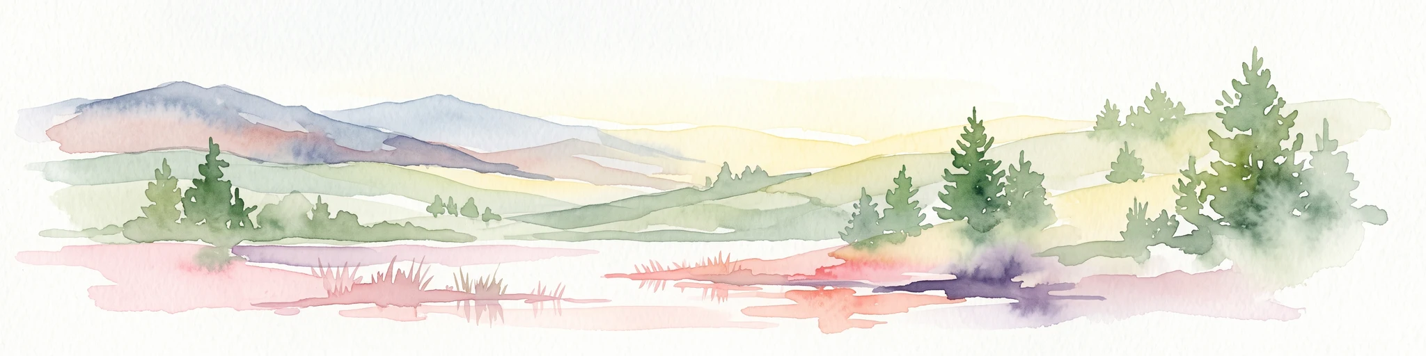
A horizontal watercolor painting depicting a soft, rolling landscape with green hills, conifer trees, and misty purple mountains in the background against a white backdrop.
Nature reserveLandkreis Kassel
About 7.9 km away#4 closest

Southwest

Dörnberg Nature Reserve: Geographic Map and Protected Landscape Overview in Landkreis Kassel

Analyzing the limestone slopes and volcanic terrain of the Dörnberg massif.

Explore the Dörnberg nature reserve through a geographic lens, focusing on its protected status within the Landkreis Kassel region. This area encompasses 116 hectares of steep limestone slopes, supporting a dense collection of calcareous grasslands and rare orchid species. The site is physically defined by its striking Miocene basalt outcrop, providing a clear focal point for studying regional Hessian topography and conservation-led land management.

Area
1.166 km²
Established
1978
Relief
Mountain
Climate
Temperate
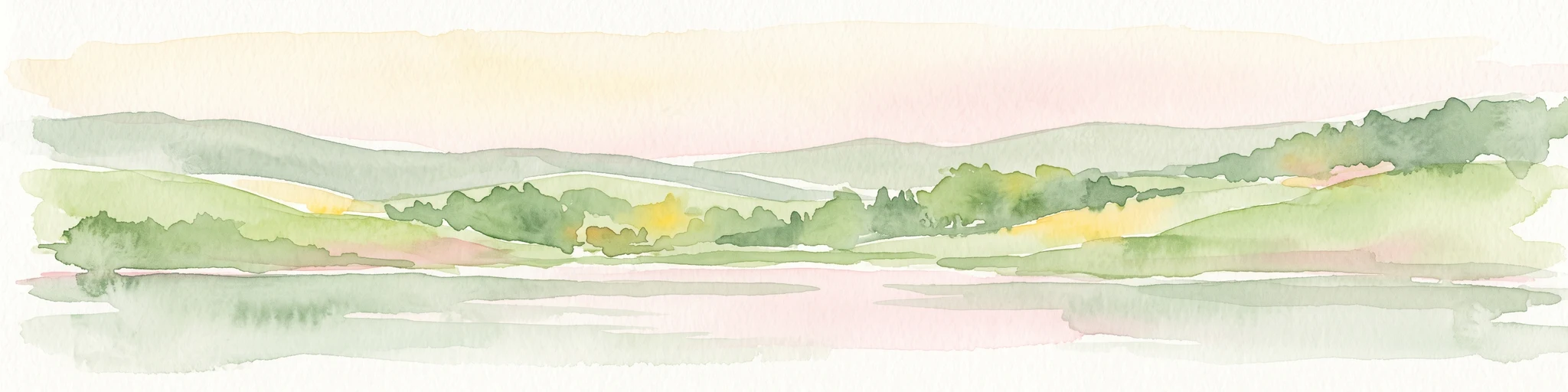
A horizontal watercolor illustration depicting rolling green hills, patches of forest, and a calm river in the foreground, rendered in soft, pastel tones.
Nature reserveHesse
About 8.2 km away#5 closest

Southeast

Kragenhof bei Fuldatal Nature Reserve: Mapped Floodplain Landscapes in Hesse, Germany

Protected riparian ecosystems and river meander geography

Located in the state of Hesse, Kragenhof bei Fuldatal is a significant nature reserve protecting a complex mosaic of Fulda River floodplain habitats. The area features shifting currents, small wooded islands, and open grassland within a distinctive meander-driven landscape. Explore the geographic boundaries and ecological structure of this important regional waterbird refuge.

Area
0.077 km²
Established
1981
Nature reserveHesse
About 8.3 km away#6 closest

North

Kelzer Teiche Nature Reserve: Mapped Geography and Protected Wetland Boundaries in Hesse

A historic managed fishpond landscape in the Kassel region of northern Germany.

Kelzer Teiche encompasses 18.5 hectares of lowland countryside defined by its twin fishponds and fringe habitats. This nature reserve plays a recognizable role in the regional network of protected sites in Hesse, offering essential shelter for reed dwelling and migratory birds within a broader agricultural setting.

Area
0.185 km²
Established
1977
Water
Major water bodies
A watercolor painting showing a soft, panoramic view of rolling green hills, lush vegetation, and water, with a light and airy artistic style.
Nature reserveHesse
About 9.1 km away#7 closest

Northwest

Meßhagen bei Niedermeiser Nature Reserve: Protected Landscape and Regional Geography

A mapped conservation site in the woodlands of Northern Hesse

Meßhagen bei Niedermeiser represents a key nature reserve in Northern Hesse, characterized by its transition between old beech forest and managed calcareous grasslands. This protected area, part of the wider Kelzer Holz network, provides a study in managed habitat succession, where meadow flora and invertebrate populations thrive in the intersection of open terrain and dense woodland edges.

Area
0.546 km²
Established
1996
Relief
Upland
Climate
Temperate
A soft watercolor painting of rolling green and yellow hills under a clear sky, featuring sparse shrubbery and a gentle, layered horizon.
Nature reserveHessen
About 11 km away#8 closest

Northwest

Mittelberg bei Hofgeismar: Nature Reserve and Protected Calcareous Grassland Site

A high-quality conservation landscape located in northern Hessen, Germany.

This nature reserve protects an ecologically rich slope habitat west of Hofgeismar. Defined by its sun-exposed calcareous soil and dry grassland, the site supports ten orchid species and a diverse assemblage of Red List butterflies. It stands as a textbook example of a small, high-density biodiversity hotspot embedded within the broader agricultural geography of the Kassel district.

Area
0.432 km²
Established
1991
Relief
Upland
Climate
Temperate

Common questions about visiting, size, designation, and location context for Jungfernbach und Brandteich bei Calden

Jungfernbach und Brandteich bei Calden FAQs for park facts, access, geography, and protected area context

Find quick answers about Jungfernbach und Brandteich bei Calden, including protected-area facts, park geography, trail and visitor context, and how the park fits into its surrounding country and regional landscape.
MoriAtlas Explorer

Continue Your Protected Areas Search Across the Global Atlas

Deepen your exploration by continuing the structured search for national parks and protected areas worldwide. Utilize the comprehensive filtering capabilities to compare different conservation landscapes and refine your understanding of global park geography. Discover more about the distribution and characteristics of protected natural areas.

Global natural geography