Mori Atlas logo
Park earthquake history

Explore a chronological catalogue of seismic events recorded within the proximity of this Alaskan wilderness region.

Recorded Earthquake History and Seismic Activity Near Katmai National Park and Preserve

Access a detailed record of seismic events associated by geographic proximity with Katmai National Park and Preserve. This catalogue provides a structured overview of recorded earthquake activity, presenting data points such as event dates, magnitude, focal depth, and epicentre coordinates to support geographic research and environmental context. Each record maintains transparency regarding its source, offering a factual look at regional seismic occurrences without assessing future risks or environmental hazards.

An illustrative style digital artwork showing a sweeping landscape with pine trees in the foreground, a winding river snaking through a green valley in the midground, and snow capped jagged mountains under a soft light sky in the background.

Alaska's volcanic wilderness of ten thousand smokes and North America's largest protected brown bear population

Katmai National Park and Preserve

Katmai National Park and Preserve is a vast protected wilderness area in southwest Alaska, spanning over 4 million acres along the Alaska Peninsula across from Kodiak Island. The park is world-renowned for two remarkable features: the Valley of Ten Thousand Smokes, a dramatic landscape created by the catastrophic 1912 eruption of Novarupta and Mount Katmai, and its extraordinary population of Alaska Peninsula brown bears, the largest protected concentration in North America with approximately 2,200 individuals. The park encompasses a volcanic mountain chain of the Aleutian Range, deeply indented coastline along Shelikof Strait, and extensive lake systems in its western reaches. Originally established as a national monument in 1918 to protect the volcanic area, Katmai evolved through multiple expansions and was redesignated as a national park and preserve in 1980 under the Alaska National Interest Lands Conservation Act. Today the park stands as one of Alaska's premier wilderness destinations, where visitors can witness brown bears fishing for salmon at Brooks Falls, explore the remnants of one of the twentieth century's most powerful volcanic eruptions, and experience a landscape shaped by fire, ice, and the seasonal rhythms of salmon.

Location
United States of America
Park type
National park
Established
1980
Area
16,564.1 km²
Highest point
2,318 m
Katmai National Park and Preserve Atlas

Compare Katmai National Park and Preserve records by depth and distance

Explore historical earthquakes near Katmai National Park and Preserve

Katmai National Park and Preserve earthquake records are associated through epicentre position and protected-area distance, not presumed boundary occurrence. Compare dates, magnitudes, depths, reported locations, distances, and sources to explore the historical catalogue without attributing events to the park or preserve, defining current hazard, or predicting future activity.

Sort by
Magnitude
Location

This page describes catalogued earthquakes associated with the park by epicentre location and distance. It does not establish causation, assess current danger, or predict future earthquakes.

No earthquake records match the current filters

Park atlas

Continue beyond Katmai National Park and Preserve earthquake records

Discover more parks after Katmai National Park and Preserve

A separately selected group of protected destinations follows the Katmai National Park and Preserve earthquake catalogue. Those links do not establish shared park or preserve status, environments, geology, earthquake evidence, proximity, seismic significance, hazards, risk, or matching source coverage.
Nature reserveAlaska
About 135 km away#1 closest

Northeast

Kachemak Bay National Estuarine Research Reserve: Alaska Protected Nature Reserve Atlas

Coastal and marine watershed geography on the Kenai Peninsula.

Kachemak Bay National Estuarine Research Reserve is a federally protected landscape on the western shore of the Kenai Peninsula. It encompasses diverse terrains including eelgrass meadows, tidal mudflats, and spruce forests. As the largest unit in the national estuarine system, it provides a unique window into the geographic connection between Gulf of Alaska marine zones and upland forest catchments.

Area
1,500 km²
Climate
Subpolar
Scope
Mixed
Water
Water-dominated
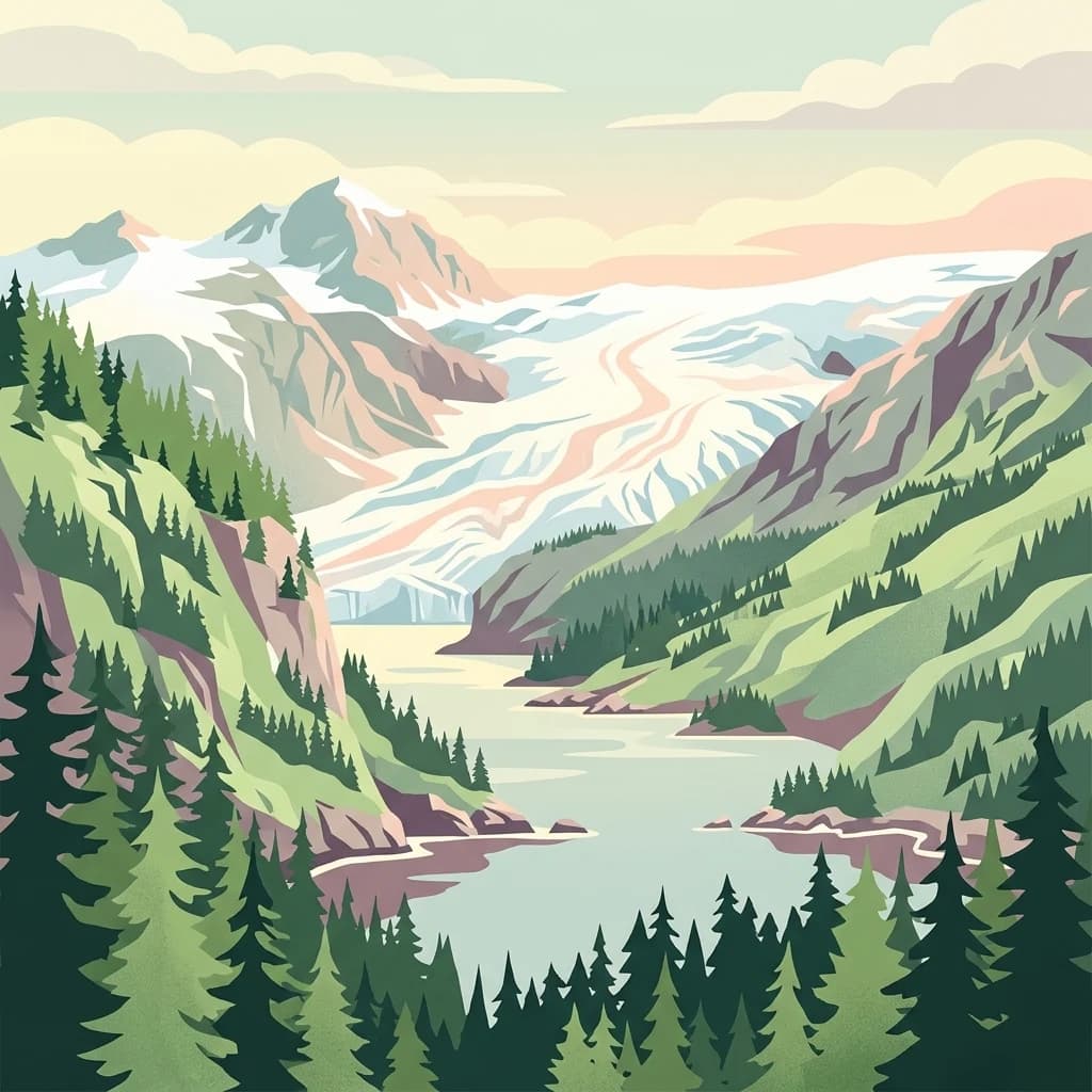
Stylized graphic illustration showing a glacier descending through high mountain peaks into a coastal fjord, with dark green evergreen forests in the foreground and a soft, pastel sky above.
National parkAlaska
145 km away#2 closest

Northeast

Kenai Fjords National Park

Mapped protected landscape and regional terrain discovery.

Kenai Fjords National Park, in Alaska, United States of America. Landscapes: mountains, cliffs, and forests.

Area
2,711.33 km²
Established
1980
IUCN
II
Visitors
425.4K annual
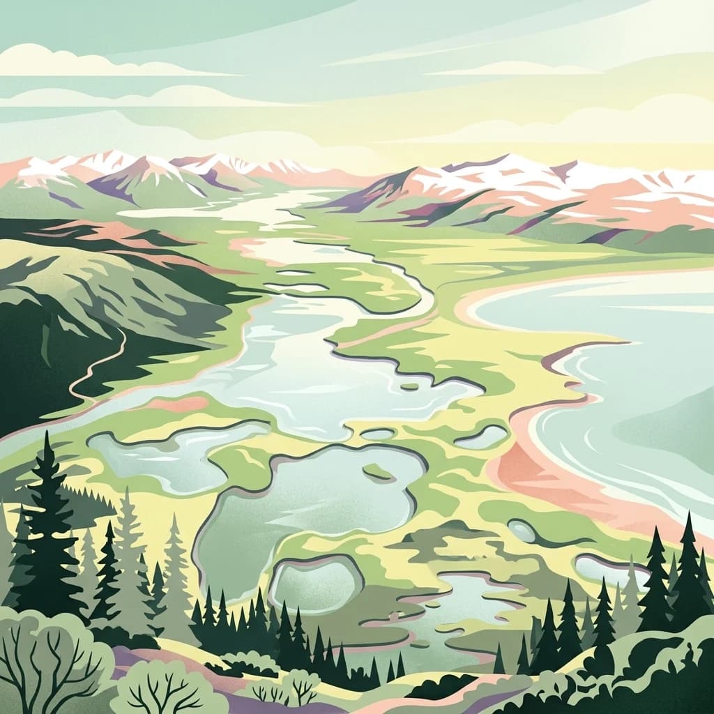
A stylized digital illustration of a mountainous landscape with snow-capped peaks in the background, winding river systems, multiple small lakes, and a coastal beach in the midground, framed by evergreen trees in the foreground.
National parkAlaska
About 211 km away#3 closest

North

Lake Clark National Park and Preserve

Mapping the geographic context and protected park boundaries.

Lake Clark National Park and Preserve, in Alaska, United States of America. Landscapes: beaches, cliffs, and coasts.

Area
16,308.9 km²
Established
1980
IUCN
V
Visitors
19.8K annual
A stylized illustration of a wide Alaskan wetland area featuring winding waterways, patches of green grasses and reeds, and a distant boreal forest line under a pastel sky.
Wildlife reserveAlaska
About 474 km away#4 closest

North

Innoko Wilderness: Geographic Profile and Protected Landscape of Interior Alaska

Subarctic wilderness tracking wetlands and boreal transitions

Spanning over one million acres in the Alaskan interior, Innoko Wilderness offers a unique look at a sprawling subarctic ecosystem. Dominated by muskeg, interconnected lakes, and the floodplains of the Yukon and Innoko Rivers, this protected area functions as a critical transition zone between interior forests and western tundra landscapes.

Area
5,000 km²
Established
1980
IUCN
Ib
Relief
Lowland
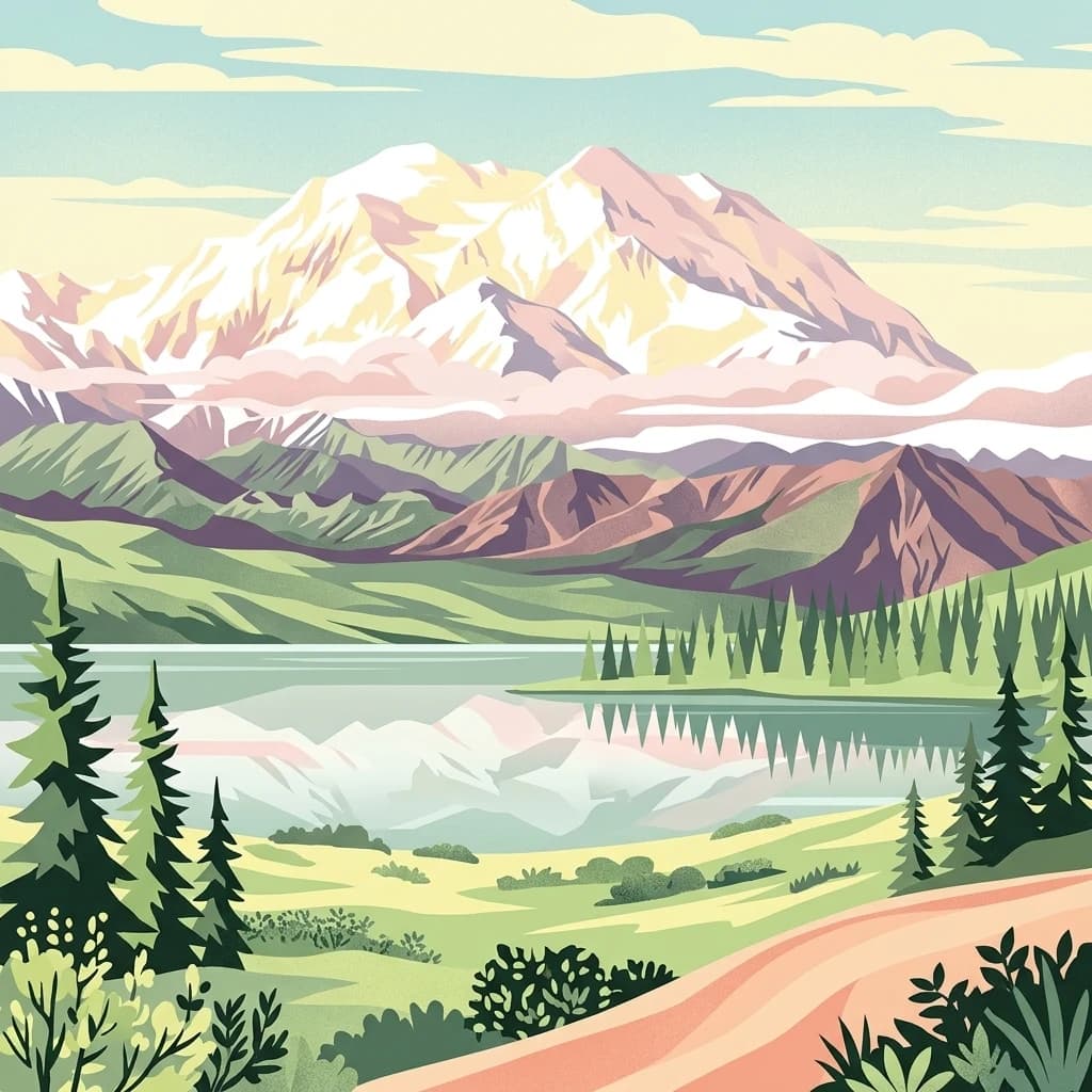
A stylized digital illustration of Denali, featuring a prominent snow-covered mountain peak reflected in a still body of water, surrounded by evergreen trees, low shrubs, and a winding dirt path in the foreground.
National parkAlaska
About 518 km away#5 closest

Northeast

Denali National Park and Preserve

Explore its mapped boundaries and Alaskan regional geography.

Denali National Park and Preserve, in Alaska, United States of America.

Area
24,464 km²
Established
1917
IUCN
V
Visitors
427.6K annual
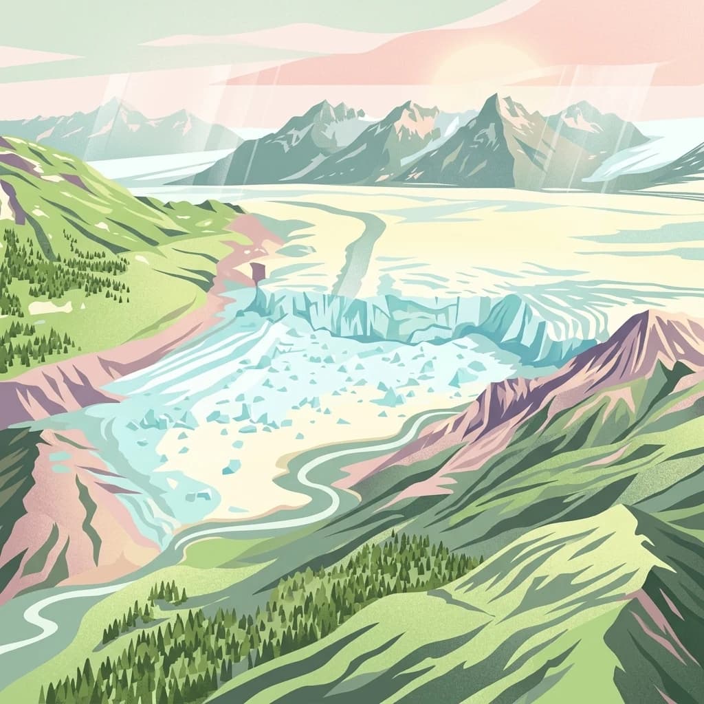
A stylized digital illustration showing an aerial view of a wide glacier flowing through a valley between mountain ranges, with evergreen forests on the slopes and a river winding through the foreground.
National parkAlaska
528 km away#6 closest

Northeast

Wrangell, St. Elias National Park and Preserve: Alaska's Expansive National Park Geography

Mapped protected lands and regional landscape context.

Dive into the detailed geography of Wrangell, St. Elias National Park and Preserve, a prominent national park located in Alaska. This resource focuses on its extensive mapped boundaries and its role as a protected landscape, offering insights valuable for understanding regional geography and the distribution of natural areas.

Area
53,320.6 km²
Established
1980
IUCN
II
Visitors
79.5K annual
A clean, artistic illustration of a mountain range behind a winding, shallow river with rocky banks, framed by evergreen trees and lush foreground foliage under a soft morning sky.
National parkYukon
709 km away#7 closest

East

Kluane National Park and Reserve

Explore mapped boundaries and regional context for this Yukon national park.

Kluane National Park and Reserve, in Yukon, Canada. Landscapes: mountains, valleys, and forests.

Area
22,013 km²
Established
1972
IUCN
II
Visitors
47.1K annual
A stylized vector illustration of a meandering river flowing through a lush green valley toward distant snow-capped mountains, flanked by a dense forest of evergreen trees under soft pastel clouds.
National parkNorthwest Arctic Borough
887 km away#8 closest

North

Kobuk Valley National Park

Explore mapped boundaries and natural terrain within Northwest Arctic Borough.

Kobuk Valley National Park, in Northwest Arctic Borough, United States of America. Landscapes: dunes, wetlands, and valleys.

Area
7,084.9 km²
Established
1980
IUCN
II
Visitors
17.6K annual
MoriAtlas Explorer

Katmai National Park and Preserve

Explore the map, landscapes, and protection details for Katmai National Park and Preserve.