
Mountain ranges
Park geography
A comprehensive geographic analysis of park boundaries, volcanic peaks, and coastal features.
Katmai National Park and Preserve: geography
Location: Alaska, United States of America. Recorded area: 16,564.09 km².
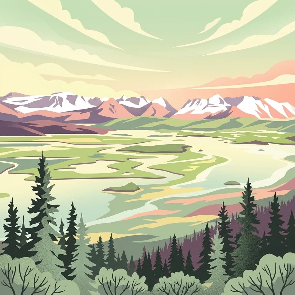
Alaska's volcanic wilderness of ten thousand smokes and North America's largest protected brown bear population
Katmai National Park and Preserve
Katmai National Park and Preserve is a vast protected wilderness area in southwest Alaska, spanning over 4 million acres along the Alaska Peninsula across from Kodiak Island. The park is world-renowned for two remarkable features: the Valley of Ten Thousand Smokes, a dramatic landscape created by the catastrophic 1912 eruption of Novarupta and Mount Katmai, and its extraordinary population of Alaska Peninsula brown bears, the largest protected concentration in North America with approximately 2,200 individuals. The park encompasses a volcanic mountain chain of the Aleutian Range, deeply indented coastline along Shelikof Strait, and extensive lake systems in its western reaches. Originally established as a national monument in 1918 to protect the volcanic area, Katmai evolved through multiple expansions and was redesignated as a national park and preserve in 1980 under the Alaska National Interest Lands Conservation Act. Today the park stands as one of Alaska's premier wilderness destinations, where visitors can witness brown bears fishing for salmon at Brooks Falls, explore the remnants of one of the twentieth century's most powerful volcanic eruptions, and experience a landscape shaped by fire, ice, and the seasonal rhythms of salmon.
- Location
- United States of America
- Park type
- National park
- Established
- 1980
- Area
- 16,564.1 km²
- Highest point
- 2,318 m
Location overview
Coastal, Island, and Marine Protected Areas of the United States
Geographic Location of Katmai National Park and Preserve in Alaska
Katmai National Park and Preserve is situated in Alaska within the United States of America. Verified records document its geographic status as a coastal, island, and marine sanctuary.
- Countries
- United States of America
- Regions
- Alaska
- Primary location
- Alaska
- Geographic setting
- Coastal · Island · Marine
Boundary and coordinates
Spatial extent and land area spanning over 16,500 square kilometers
Katmai National Park and Preserve Boundary Map and Spatial Limits
Interactive boundary geometry defines the spatial context and regional footprint of the Katmai wilderness. Accompanying data outlines the land area of 16,564 square kilometers alongside approximate center coordinates and geographic spans.
- Boundary area
- 14,912.9 km²
- Boundary perimeter
- 1,086.5 km
- Northernmost point
- 59.1362° N
- Southernmost point
- 57.8733° N
- Easternmost point
- 153.2504° W
- Westernmost point
- 156.5285° W
- Geographic centre
- 58.5625° N, 154.9792° W
- North–south span
- 140.7 km
- East–west span
- 191.1 km
Elevation and terrain
Mixed relief profiles, peak heights, and recorded natural features
Katmai National Park and Preserve Terrain and Elevation Summary
Recorded park elevation reaches a maximum point of 2318 meters across mixed terrain classifications. Associated feature cards outline specific mountain ranges, glaciers, rivers, and volcanoes located within the protected boundary.
- Maximum elevation
- 2,318 m
- Highest point
- 2,318 m
Selected named natural features
Rivers
River Lethe
Glaciers
Princess Glacier
Lakes
Nonvianuk Lake
Glaciers
Noisy Glacier
Capes
Cape Kubugakli
Environmental setting
Boreal climate zones, mixed relief, and major water presence across diverse terrains
Katmai National Park and Preserve Environmental Settings and Landscape Classifications
Recorded landscape features, habitat types, and seasonal classifications offer complementary ways to read the physical setting of Katmai National Park and Preserve. Stored environmental categories connect directly to related protected areas and mapped atlas destinations.
- Relief
- Mixed relief
- Climate
- Boreal
- Water
- Major water bodies
- Seasonality
- Seasonal
Landscape features
Mountains · Valleys · Wetland · Lakes · Rivers · Waterfalls · Coast · Beach · Islands · Glacier · Volcano · Tundra
Habitat types
Alpine meadow · Wetland · Peatland · Riverine habitat · Lacustrine habitat · Coastal habitat · Marine habitat · Tundra habitat · Glacial habitat
Park atlas
Compare vast protected landscapes, volcanic terrain, and coastal wilderness across the Alaska Peninsula.
Discover Nearby Protected Areas and National Parks Surrounding Katmai National Park and Preserve
After viewing Katmai National Park and Preserve, you can trace other national parks and protected areas across the Alaska Peninsula, mapping their unique volcanic terrain and coastal wilderness. Compare regional protected landscapes to understand broader geographic patterns and interconnected conservation zones within Alaska's subarctic ecosystems.
Nature reserveAlaska
About 135 km away#1 closest
Northeast

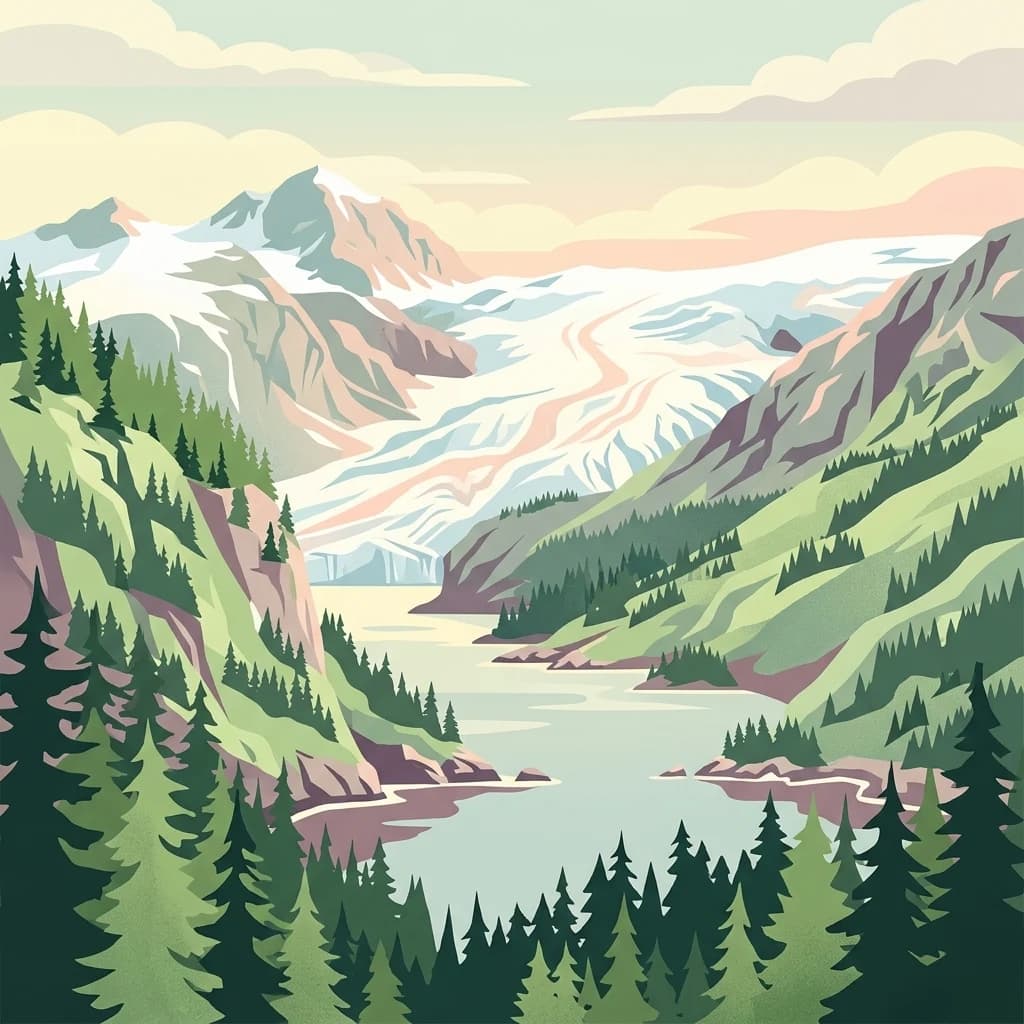
Kachemak Bay National Estuarine Research Reserve: Alaska Protected Nature Reserve Atlas
Coastal and marine watershed geography on the Kenai Peninsula.
Kachemak Bay National Estuarine Research Reserve is a federally protected landscape on the western shore of the Kenai Peninsula. It encompasses diverse terrains including eelgrass meadows, tidal mudflats, and spruce forests. As the largest unit in the national estuarine system, it provides a unique window into the geographic connection between Gulf of Alaska marine zones and upland forest catchments.
- Area
- 1,500 km²
- Climate
- Subpolar
- Scope
- Mixed
- Water
- Water-dominated
National parkAlaska
145 km away#2 closest
Northeast
Kenai Fjords National Park
Mapped protected landscape and regional terrain discovery.
Kenai Fjords National Park, in Alaska, United States of America. Landscapes: mountains, cliffs, and forests.
- Area
- 2,711.33 km²
- Established
- 1980
- IUCN
- II
- Visitors
- 425.4K annual
National parkAlaska
About 211 km away#3 closest
North
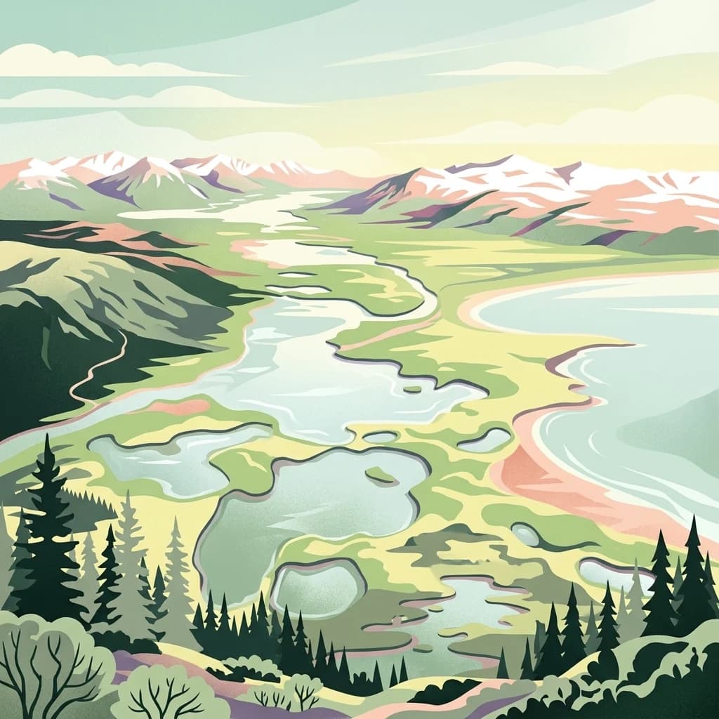
Lake Clark National Park and Preserve
Mapping the geographic context and protected park boundaries.
Lake Clark National Park and Preserve, in Alaska, United States of America. Landscapes: beaches, cliffs, and coasts.
- Area
- 16,308.9 km²
- Established
- 1980
- IUCN
- V
- Visitors
- 19.8K annual

Wildlife reserveAlaska
About 474 km away#4 closest
North
Innoko Wilderness: Geographic Profile and Protected Landscape of Interior Alaska
Subarctic wilderness tracking wetlands and boreal transitions
Spanning over one million acres in the Alaskan interior, Innoko Wilderness offers a unique look at a sprawling subarctic ecosystem. Dominated by muskeg, interconnected lakes, and the floodplains of the Yukon and Innoko Rivers, this protected area functions as a critical transition zone between interior forests and western tundra landscapes.
- Area
- 5,000 km²
- Established
- 1980
- IUCN
- Ib
- Relief
- Lowland
National parkAlaska
About 518 km away#5 closest
Northeast
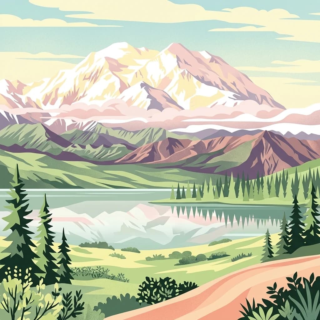
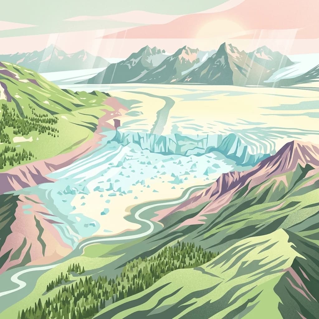
Denali National Park and Preserve
Explore its mapped boundaries and Alaskan regional geography.
Denali National Park and Preserve, in Alaska, United States of America.
- Area
- 24,464 km²
- Established
- 1917
- IUCN
- V
- Visitors
- 427.6K annual
National parkAlaska
528 km away#6 closest
Northeast
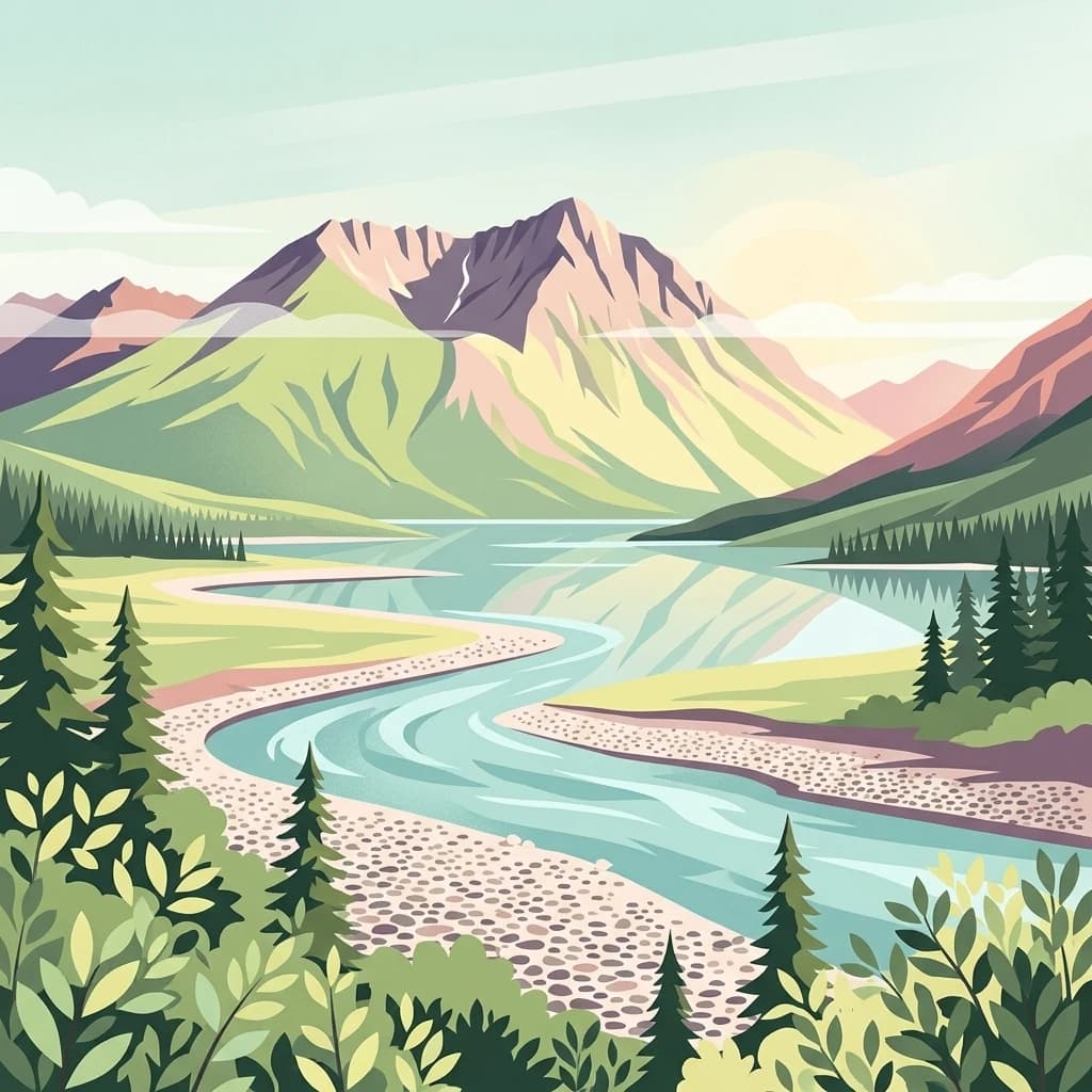
Wrangell, St. Elias National Park and Preserve: Alaska's Expansive National Park Geography
Mapped protected lands and regional landscape context.
Dive into the detailed geography of Wrangell, St. Elias National Park and Preserve, a prominent national park located in Alaska. This resource focuses on its extensive mapped boundaries and its role as a protected landscape, offering insights valuable for understanding regional geography and the distribution of natural areas.
- Area
- 53,320.6 km²
- Established
- 1980
- IUCN
- II
- Visitors
- 79.5K annual
National parkYukon
709 km away#7 closest
East

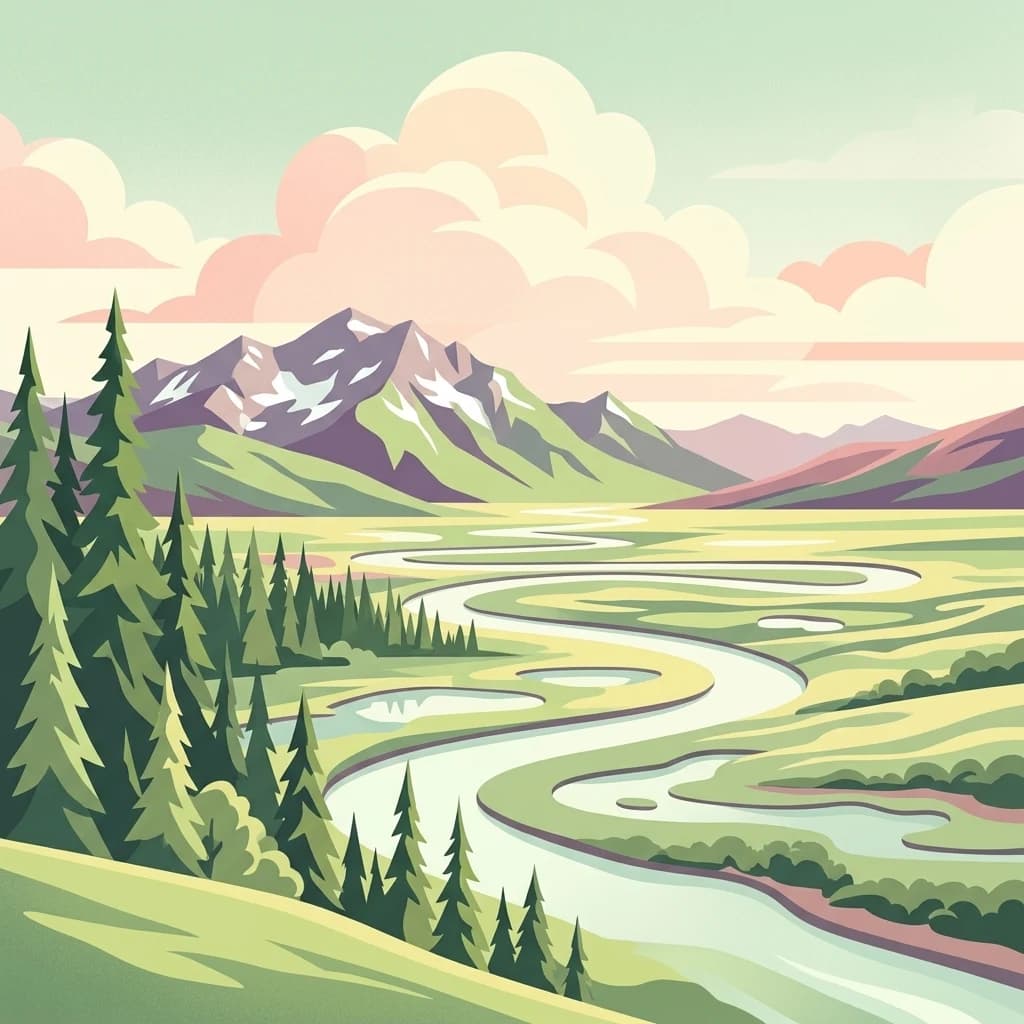
Kluane National Park and Reserve
Explore mapped boundaries and regional context for this Yukon national park.
Kluane National Park and Reserve, in Yukon, Canada. Landscapes: mountains, valleys, and forests.
- Area
- 22,013 km²
- Established
- 1972
- IUCN
- II
- Visitors
- 47.1K annual
National parkNorthwest Arctic Borough
887 km away#8 closest
North
Kobuk Valley National Park
Explore mapped boundaries and natural terrain within Northwest Arctic Borough.
Kobuk Valley National Park, in Northwest Arctic Borough, United States of America. Landscapes: dunes, wetlands, and valleys.
- Area
- 7,084.9 km²
- Established
- 1980
- IUCN
- II
- Visitors
- 17.6K annual
MoriAtlas Explorer
Katmai National Park and Preserve
Explore the map, landscapes, and protection details for Katmai National Park and Preserve.
Browse next
Global natural geography
Explore related park routes
Explore MoriAtlas Global ParksBrowse All MoriAtlas ParksGlobal Park Map DiscoveryMoriAtlas: Browse All CountriesBrowse All MoriAtlas ContinentsNational Park Environment AtlasGrand Canyon National Park AtlasYellowstone National Park AtlasYosemite National Park Atlas and GeographySerengeti National Park AtlasGalápagos National Park Protected LandscapeBanff National Park Geography and AtlasKruger National Park Atlas EntryExplore Uluru-Kata Tjuta National Park GeographyPlitvice Lakes National Park AtlasFiordland National Park Protected LandscapeGreat Smoky Mountains National Park AtlasZion National Park Protected Landscape AtlasAfghanistan National Parks and Protected AreasAlbania National Parks and Protected AreasAlgeria National Parks and Protected AreasAmerican Samoa National Parks and Protected AreasAndorra National Parks and Protected AreasAngola National Parks and Protected AreasAntarctica National Parks and Protected AreasAntigua and Barbuda Park List