Mori Atlas logo
Park earthquake history

Review documented seismic event data including magnitude, depth, and epicentre proximity

Historical Catalogue of Recorded Earthquakes Associated with Kaweka Forest Park

This collection provides a structured review of historical earthquake data associated with the terrain of Kaweka Forest Park. The records offer insight into regional seismic history by mapping events based on their proximity to the park boundary. Each entry includes specific details such as event timing, magnitude, and depth to provide a clear view of the recorded activity in this Hawke's Bay region.

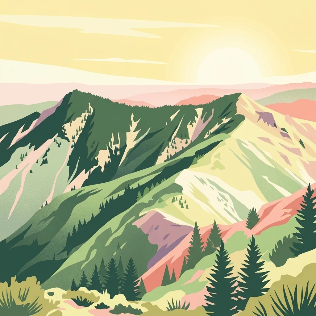
A stylized illustration of mountainous forest terrain with ridgelines and evergreen trees under a soft, golden sky.

A large North Island forest park centered on the rugged Kaweka Range.

Kaweka Forest Park

Kaweka Forest Park is a large protected forest landscape in the central North Island of New Zealand, lying within the Hawke's Bay region and bordering Kaimanawa Forest Park. The park is defined by the Kaweka Range, whose highest summit, also called Kaweka, reaches 1,724 metres, giving it a distinctly mountainous character compared with many of New Zealand's lower forest reserves. Beyond the natural forests of the range, the park contains extensive areas of exotic pine plantation, established across former farmland that proved unsuitable for sustained agriculture. This mix of plantation, regenerating native forest, and high alpine terrain shapes both the landscape and the conservation challenges of the area, particularly the spread of wilding conifers from the plantations into surrounding environments. The park is administered by the New Zealand Department of Conservation and serves as a substantial block of protected land in the central North Island, combining outdoor recreation opportunities, ecological restoration needs, and a backdrop of distinctive North Island mountain scenery.

Location
New Zealand
Park type
Protected landscape
Established
1972
Area
594.3 km²
Highest point
1,724 m
Kaweka Forest Park Protected Landscape

Sort Kaweka Forest Park events by location, depth, and distance

Search historical earthquake records surrounding Kaweka Forest Park

Kaweka Forest Park earthquake records are brought together using epicentre locations and distance from the park, rather than a claim of universal interior occurrence. Search dates, magnitudes, depths, named places, distances, and source references for an evidence-led view of history without connecting forest conditions to seismic cause, current hazard, or future events.

Sort by
Magnitude
Location

This page describes catalogued earthquakes associated with the park by epicentre location and distance. It does not establish causation, assess current danger, or predict future earthquakes.

No earthquake records match the current filters

Park atlas

Go beyond Kaweka Forest Park historical earthquake observations

Discover other protected parks after Kaweka Forest Park

From Kaweka Forest Park's earthquake records, discovery continues beyond a Hawke's Bay mountain range, forest-park, and wilding-conifer landscape into other destinations. The following pages do not imply shared forest-park status, vegetation management, mountain terrain, distance, geology, seismic observations, hazards, risk, or comparable documentation.
A minimalist watercolor painting of rolling hills and grassy landscape under a white background.
Protected areaManawatu-Whanganui Region
Park boundaries overlap#1 closest

West

Kaimanawa Forest Park: A Deep Dive into Protected Forest Terrain and Regional Mountain Geography

Remote backcountry wilderness within the Manawatu-Whanganui Region

Spanning the high country of the Rangitikei District, Kaimanawa Forest Park offers a vast, forested wilderness experience distinct from the surrounding volcanic cones. This atlas entry details the park's structural role as a protected conservation area, tracing its boundaries across rugged mountain ridges and deep valleys that define the heart of New Zealand's central North Island landscape.

Area
759.57 km²
Established
1969
Relief
Mountain
Climate
Temperate
National parkNew Zealand
31 km away#2 closest

West

Tongariro National Park: New Zealand's Premier Volcanic National Park Atlas

Explore mapped terrain, active volcanoes, and unique dual World Heritage values.

Tongariro National Park, situated in New Zealand's North Island, is a globally significant protected area celebrated for its dramatic volcanic landscapes and profound cultural heritage. As the nation's oldest national park, it features three active volcanoes: Mount Ruapehu, Mount Ngauruhoe, and Mount Tongariro, set within a diverse terrain that includes forests, alpine zones, and the Rangipo Desert. Its dual World Heritage status underscores its importance for both natural attributes and its sacred cultural landscape, offering rich opportunities for geographic and atlas exploration.

Area
795.96 km²
Established
1887
IUCN
II
Relief
Mountain
Protected landscapeWaikato
55 km away#3 closest

Northwest

Pureora Forest Park: Ancient Rainforests and Protected Mountain Landscapes in Waikato

Regional geography and mapped native forest boundaries

Pureora Forest Park represents a significant protected area in the central North Island of New Zealand, defined by its towering podocarp giants and complex volcanic terrain. The park serves as a prime example of an intact rainforest ecosystem, featuring dense broadleaf canopies, deep river valleys, and significant remnants of ancient forest history. Its geography, shaped by both geological upheaval and centuries of growth, provides an essential record of the natural heritage preserved across the Waikato and Manawatu-Whanganui regions.

Area
759.57 km²
Established
1978
Relief
Mountain
Water
Major water bodies
National parkNew Zealand
83 km away#4 closest

West

Whanganui National Park: Protected Wilderness Landscape and Geographic Context

Explore the mapped boundaries and natural terrain of this national park.

Whanganui National Park offers a unique blend of natural wilderness and significant cultural history, centered on the Whanganui River valley. This protected area safeguards one of New Zealand's most extensive lowland forest ecosystems, providing vital habitat and showcasing a landscape deeply intertwined with Māori traditions and historical settlement. Understanding its geographical setting and mapped protected boundaries reveals its importance as a distinct national park.

Area
742 km²
Established
1986
IUCN
II
Relief
Lowland
Watercolor painting of a green landscape featuring rolling hills, forested slopes, and a body of water in the foreground against a light, misty background.
Marine protected areaNew Plymouth District
144 km away#5 closest

West

Parininihi Marine Reserve: A Detailed Atlas of New Zealand's Coastal Marine Protected Area

Mapping the ecological sanctuary and reef geography in the New Plymouth District.

Gain insights into the geography of Parininihi Marine Reserve, a protected marine environment north-east of New Plymouth. This record outlines the reserve's structural features, from the iconic White Cliffs coastline to the complex underwater canyons and pinnacles of the Pariokariwa Reef. Learn about the seafloor terrain and the ecological distribution of invertebrate colonies and fish populations that define this crucial New Zealand marine reserve.

Area
18 km²
Established
2006
Relief
Lowland
Climate
Temperate
Watercolor painting of Moutohora Island featuring green volcanic hills, coastal vegetation, and a soft pink water surface.
Wildlife reserveBay of Plenty
About 151 km away#6 closest

North

Moutohora Island Wildlife Reserve: Volcanic Geography and Coastal Protected Area

Exploration of a restored island sanctuary in the Bay of Plenty

Moutohora Island is a protected wildlife refuge defined by its volcanic heritage and active geothermal features. The landscape comprises twin peaks, valleys, and coastal cliffs that provide a secure habitat for breeding seabirds and native forest restoration efforts. This island offers a distinct look at maritime conservation and geological remnants within the broader Bay of Plenty regional geography.

Area
1.43 km²
Established
1965
Relief
Upland
Access
Highly restricted
A wide, panoramic watercolor illustration showing layers of green rolling hills in the foreground, a line of green trees in the mid-ground, and soft purple and pink mountains in the background against a pale yellow sky.
Protected areaNew Zealand
About 158 km away#7 closest

Northwest

Pirongia Forest Park: Mapped Geography and Protected Landscapes in the Waikato Region

Volcanic summits and native podocarp forest boundaries

Gain a deeper understanding of Pirongia Forest Park through its complex volcanic geology and dense native vegetation. This resource outlines the park's fragmented ridges, limestone stream systems, and its role as a biogeographic bridge within the Waikato landscape of New Zealand.

Area
167.7 km²
Established
1971
Relief
Mountain
Climate
Temperate
Protected landscapeNew Zealand
About 164 km away#8 closest

Southwest

Tararua Forest Park: Protected Landscape Geography and Mapped Natural Terrain

Defining the rugged mountain spine of New Zealand's southern North Island

Covering the core of the Tararua Range, this protected landscape represents a vital ecological corridor in New Zealand. The terrain offers a diverse gradient of native forests, steep river valleys, and windswept alpine ridges. It serves as a primary example of forest conservation and complex mountain geography within the island nation's larger network of protected lands.

Area
1,149.93 km²
Established
1954
Relief
Mountain
Climate
Temperate
MoriAtlas Explorer

Explore the Geography and Mapped Landscapes of Kaweka Forest Park

Dive into the rugged terrain of Kaweka Forest Park to understand its role within the Hawke's Bay region. MoriAtlas provides a comprehensive view of this protected forest landscape, mapping the transition from alpine summits to deep river valleys for a clearer perspective on New Zealand's central North Island geography.