
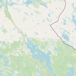
Peaks
Park geography
Structured landscape analysis including regional terrain, water features, and area measurements.
Detailed Geographic Profile and Mapped Boundaries of Koli National Park in North Karelia
This geographic profile details the physical dimensions and environmental characteristics of Koli National Park, located within Finland's North Karelia region. The record covers the park's precise boundary coordinates, total land area, and internal relief patterns defined by local highlands. Data includes an inventory of primary natural landmarks, lake systems, and forest habitats contained within the mapped territory.
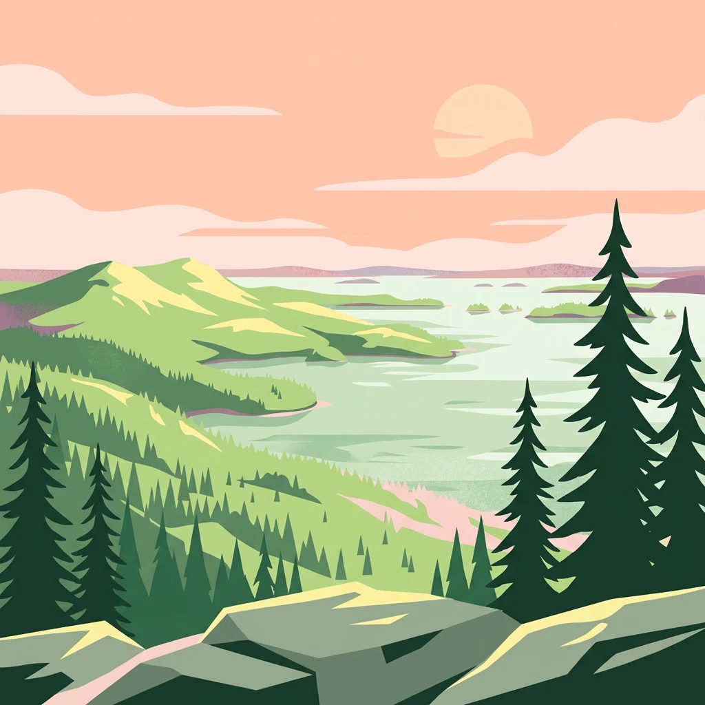
Finnish national park preserving forested hills above Lake Pielinen
Koli National Park
Koli National Park is a protected area in the North Karelia region of eastern Finland, established in 1991. The park encompasses approximately 30 square kilometers of forested hills along the western shore of Lake Pielinen, one of Finland's largest lakes. It spans the municipalities of Joensuu, Lieksa, and Kontiolahti, creating a scenic landscape that has long been recognized as one of Finland's most iconic natural vistas. The park is governed by Metsähallitus and has grown to become the fourth most visited national park in Finland, with nearly 250,000 visitors in 2024. Koli holds particular significance as a cultural landscape where traditional agricultural practices have been maintained alongside natural preservation, representing a harmonious blend of human heritage and ecological conservation.
- Location
- Finland
- Park type
- National park
- Established
- 1991
- Area
- 30 km²
Location overview
Regional placement and administrative context in North Karelia
Mapped Geographic Setting of Koli National Park in Finland
Koli National Park is situated within the region of North Karelia in the country of Finland. Natural area records confirm its status as an inland, non-transboundary protected landscape.
- Countries
- Finland
- Regions
- North Karelia
- Primary location
- North Karelia
- Geographic setting
- Inland
Boundary and coordinates
Mapped protected area geometry and derived spatial measurements
Koli National Park Boundary Map and Spatial Extent Explorer
Interactive boundary mapping provides clear spatial context for the protected area limits. Structured measurements outline the recorded area coverage and geographic span dimensions.
- Boundary area
- 30.1 km²
- Boundary perimeter
- 136.9 km
- Northernmost point
- 63.1554° N
- Southernmost point
- 62.9938° N
- Easternmost point
- 30.0175° E
- Westernmost point
- 29.7788° E
- Geographic centre
- 63.0615° N, 29.8791° E
- North–south span
- 18 km
- East–west span
- 12.1 km
Terrain and natural features
Stored highland classifications and recorded regional features
Koli National Park Terrain and Named Natural Features
Highland terrain classifications define the protected landscape within Koli National Park. Linked feature cards supply names, types, measurements, and spatial relationships for recorded natural features.
Selected named natural features
Peaks
Paha-Koli
334 m
Lakes
Jero
119.8 m
Lakes
Lätäkkö
Forests
Tarhasaari
Lakes
Valkealampi
94.2 m
Environmental setting
Boreal climate zones, highland relief, and forest cover across recorded landscapes
Koli National Park Environmental Classifications and Physical Setting
Stored classifications combine highland relief, boreal climate zones, and extensive forest cover into complementary categories for reading physical settings. Recorded environmental attributes link directly to related protected area destinations throughout the regional atlas.
- Relief
- Highland
- Climate
- Boreal
- Water
- Major water bodies
- Forest cover
- Mostly forested
- Seasonality
- Year-round
Landscape features
Hills · Valleys · Cliffs · Forest · Lakes · Cave
Habitat types
Temperate broadleaf forest · Temperate coniferous forest · Boreal forest · Montane forest · Wetland · Riverine habitat
Park atlas
Map the regional spread of protected areas and compare the diverse forested and lake landscapes.
National Parks and Protected Areas Near Koli National Park: Eastern Finland Discoveries
Continue your exploration from Koli National Park to browse other national parks and protected areas across Eastern Finland and its surrounding Nordic regions. Compare diverse forested landscapes, cultural heritage sites, and lake vistas, gaining broader geographic context and insights into regional conservation.
National parkNorth Karelia
30 km away#1 closest
East

Patvinsuo National Park: Protected Landscape Geography and Map Context
National park exploration in North Karelia, Finland.
Patvinsuo National Park stands as a vital protected area within North Karelia, Finland. This page serves as an atlas entry point, detailing the park's geographic scope, mapped boundaries, and its significance as a protected landscape. Users can explore the regional context and understand the natural terrain that characterizes this important Finnish national park, facilitating structured geographic discovery.
- Area
- 105 km²
- Established
- 1982
- IUCN
- II
- Visitors
- 18.6K annual
National parkNorth Karelia
About 76 km away#2 closest
Southeast
Petkeljärvi National Park: Distinct Protected Landscape and Esker Formations in North Karelia
Discover Finland's unique esker ridges and boreal forests.
Petkeljärvi National Park represents a distinctive protected landscape in North Karelia, Finland, celebrated for its prominent esker formations that define its topography. The park showcases light Scots pine forests growing on sandy soils, creating an open forest character that sets it apart. Visitors can explore the mapped geography, including winding ridges, wetlands, and lake scenery, alongside preserved historical fortifications from the Continuation War, offering a rich blend of natural and cultural heritage within this compact national park.
- Area
- 7 km²
- Established
- 1956
- IUCN
- II
- Visitors
- 17.3K annual
National parkKainuu
About 90 km away#3 closest
Northwest
Hiidenportti National Park: Kainuu Protected Area and Geographic Landscape Context
Explore mapped boundaries and regional geography in eastern Finland.
This MoriAtlas entry details Hiidenportti National Park, a designated national park situated in the Kainuu region of Finland. It serves as a vital hub for understanding the protected area's mapped landscape, its specific geographic characteristics, and its position within the regional atlas of eastern Finland's natural terrain. Dive into the structured details that define Hiidenportti National Park's protected identity and its contribution to the geographic understanding of the taiga-forested regions.
- Area
- 45 km²
- Established
- 1982
- IUCN
- II
- Visitors
- 11.3K annual
National parkFinland
About 96 km away#4 closest
Northwest
Tiilikkajärvi National Park: Finland's Unique Protected Landscape with Sandy Shores and Eskers
Mapped geography of a distinctive Finnish national park.
Tiilikkajärvi National Park showcases a unique combination of natural features within Finland's protected lands. The park's core is the Tiilikkajärvi lake, almost entirely encircled by expansive sandy beaches and dramatic esker peninsulas. These glacial landforms create a striking visual contrast with the surrounding boreal forests and rare undrained aapa bogs. Explore the mapped landscape context and protected area identity of this significant Finnish natural environment.
- Area
- 72 km²
- Established
- 1982
- IUCN
- II
- Visitors
- 26.1K annual
National parkEtelä-Savo
About 101 km away#5 closest
Southwest
Kolovesi National Park: Mapped Protected Landscape in Etelä-Savo, Finland
Explore its geographic identity and mapped park boundaries.
Kolovesi National Park is a significant protected area located in the Etelä-Savo region of Finland, characterized by its presence within the Finnish lake district. This detailed page provides an atlas-centric view, emphasizing the park's mapped geographic features and its status as a protected natural landscape. Users engaging with MoriAtlas can understand Kolovesi National Park's unique landscape context and its precise location within the regional geography of southeastern Finland.
- Area
- 61 km²
- Established
- 1990
- IUCN
- II
- Visitors
- 17.2K annual
National parkSouth Savo
116 km away#6 closest
Southwest
Linnansaari National Park: South Savo's Protected Landscape and Geography
Explore the mapped boundaries of this Finnish national park.
Discover Linnansaari National Park, a distinct national park located in South Savo, Finland. This page provides detailed information focused on its protected landscape identity, mapped geography, and atlas context. Understand its significance as a conservation area and how its boundaries contribute to the regional natural landscape. Explore the geographic positioning of Linnansaari National Park within South Savo, offering insights for structured map-based discovery.
- Area
- 38 km²
- Established
- 1956
- IUCN
- II
- Visitors
- 31.6K annual
Natural monumentRepublic of Karelia
About 132 km away#7 closest
East

Mount Vottovaara Natural Monument: Explore Protected Landscape and Geographic Context in Karelia
Mapped protected area boundaries and regional terrain in the Republic of Karelia.
Mount Vottovaara represents a significant natural monument within the Republic of Karelia, offering a focal point for structured geographic exploration. This protected landscape's mapped boundaries and its setting within the region's broader geography are key to understanding its atlas value. MoriAtlas provides the framework to examine the specific identity of Mount Vottovaara as a protected area, encouraging detailed study of its natural features and regional context.
- Area
- 15 km²
- Established
- 2011
- IUCN
- III
- Relief
- Mixed relief

Natural monumentRepublic of Karelia
About 132 km away#8 closest
East
Vottovaara National Park and Natural Monument: Mapping the West Karelian Upland
Protected quartzite massifs and glacial boulder fields in Russia
Vottovaara stands as a significant natural landmark in the Republic of Karelia, defined by its quartzite bedrock and plateau covered in glacial erratics. As a protected national park and natural monument, it represents the high-relief landscape of the West Karelian Upland, providing mapped access to a unique convergence of taiga forest and exposed geological formations.
- Area
- 140.59 km²
- Established
- 2023
- IUCN
- III
- Relief
- Mountain
MoriAtlas Explorer
Continue Atlas Exploration of Koli National Park's Geographic Identity
Deepen your understanding of Koli National Park by exploring its mapped boundaries and regional geography. This structured approach to protected landscapes allows for precise geographic discovery, situating Koli National Park within the wider atlas of natural terrain in North Karelia and beyond.
Browse next
Global natural geography
Explore related park routes
Explore MoriAtlas Global ParksBrowse All MoriAtlas ParksGlobal Park Map DiscoveryMoriAtlas: Browse All CountriesBrowse All MoriAtlas ContinentsNational Park Environment AtlasGrand Canyon National Park AtlasYellowstone National Park AtlasYosemite National Park Atlas and GeographySerengeti National Park AtlasGalápagos National Park Protected LandscapeBanff National Park Geography and AtlasKruger National Park Atlas EntryUluṟu-Kata Tjuṯa National Park AtlasExplore Uluru-Kata Tjuta National Park GeographyPlitvice Lakes National Park AtlasFiordland National Park Protected LandscapeGreat Smoky Mountains National Park AtlasAfghanistan National Parks and Protected AreasAlbania National Parks and Protected AreasAlgeria National Parks and Protected AreasAmerican Samoa National Parks and Protected AreasAndorra National Parks and Protected AreasAngola National Parks and Protected AreasAntarctica National Parks and Protected AreasAntigua and Barbuda Park List