
Mori Atlas logo
Park earthquake history

A comprehensive catalogue of historical earthquake events associated with the park region

Recorded Seismic Activity and Earthquake History for Lower Saxon Wadden Sea National Park

This historical record tracks seismic events identified by epicentre proximity to the Lower Saxon Wadden Sea National Park. Users can browse event dates, measured magnitudes, and depth profiles for recorded tremors within this coastal geography. The catalogue provides objective data on past seismic activity in the North Sea region to support geographic and historical understanding of the area.

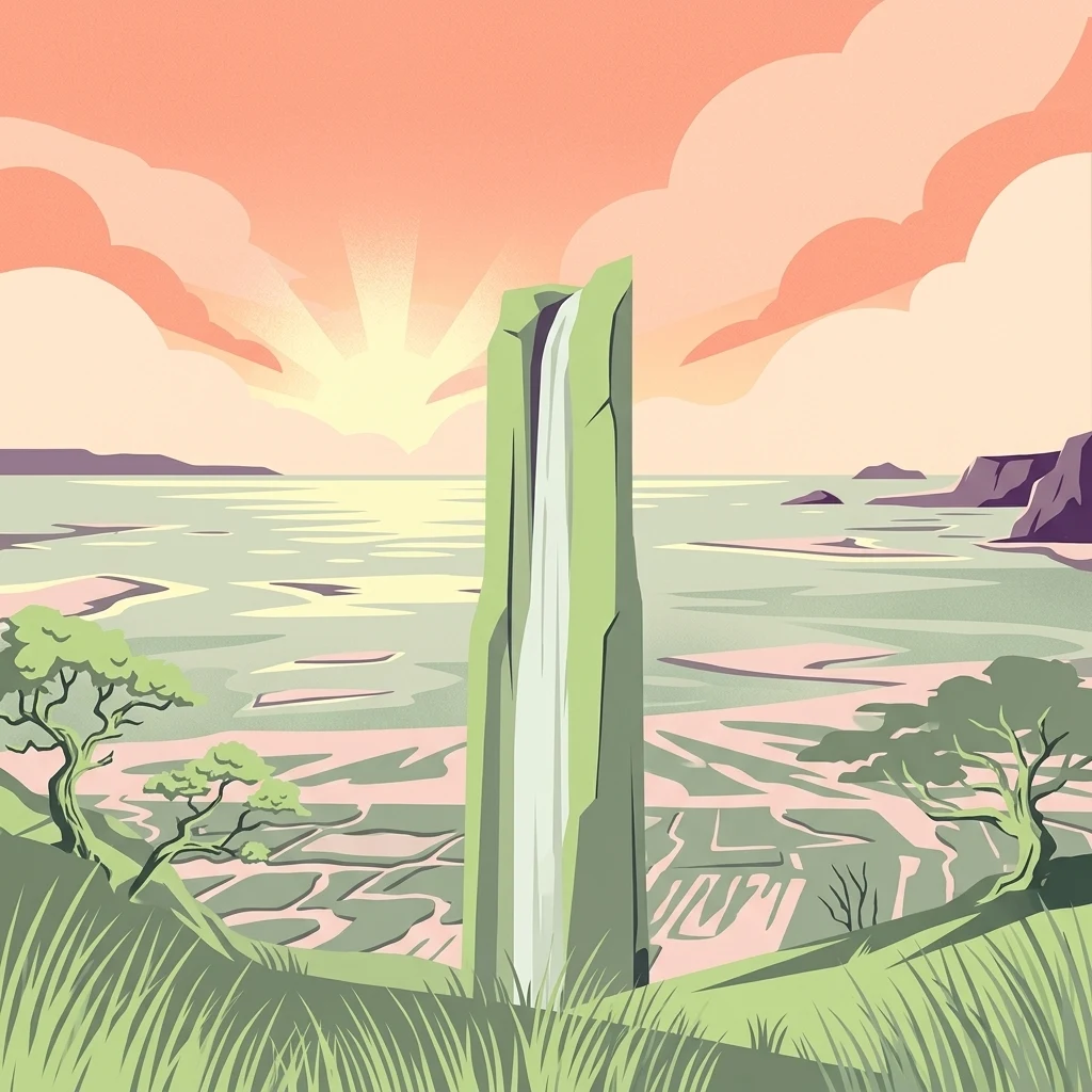
A stylized illustration showing a coastal landscape with a tall rock formation featuring a waterfall, grassy foreground, trees, and a sunset over the sea with pink and orange skies.

Germany's coastal wilderness of mudflats, salt marshes, and the East Frisian Islands

Lower Saxon Wadden Sea National Park

Lower Saxon Wadden Sea National Park protects one of Europe's most distinctive and ecologically significant coastal landscapes along the German North Sea coast. Established in 1986, the park encompasses the East Frisian Islands, vast intertidal mudflats, and expansive salt marshes stretching from the Dollart Bay at the Dutch border westward to Cuxhaven and the Outer Elbe shipping channel. The park covers approximately 345,800 hectares, making it one of Germany's largest protected coastal areas. In 2009, the Wadden Sea became a UNESCO World Heritage Site, recognized alongside the Dutch and Schleswig-Holstein Wadden Sea for its outstanding universal value as a unique intertidal ecosystem. The Wadden Sea itself is considered the second most productive ecosystem on Earth after tropical rainforests, supporting an extraordinary density of marine life and serving as a critical migratory bird corridor for millions of waterfowl and waders traveling between northern breeding grounds and southern wintering areas.

Location
Germany
Park type
National park
Established
1986
Area
345.8 km²
Lower Saxon Wadden Sea National Park Atlas

Map historic epicenters and filter seismic activity records by distance from the North Sea coast.

Earthquake Records Near Lower Saxon Wadden Sea National Park: Historic Seismic Search

Seismic event records are matched to Lower Saxon Wadden Sea National Park using calculated distance from each recorded epicenter to the coastal protected area. Individual database entries provide verified factual details such as the event date, magnitude, depth, reported geographic location, calculated park distance, and links to official seismological sources.

Sort by
Magnitude
Location

This page describes catalogued earthquakes associated with the park by epicentre location and distance. It does not establish causation, assess current danger, or predict future earthquakes.

No earthquake records match the current filters

Park atlas

Navigate global conservation maps and regional protected areas across the atlas.

Discover Alternative National Parks and Nature Reserves Beyond Lower Saxon Wadden Sea

Transitioning from the coastal landscapes of Lower Saxon Wadden Sea National Park opens up a vast directory of global protected areas and conservation zones. Geographic search tools allow users to compare diverse terrain types, regional designations, and environmental protection profiles across different continents.
Watercolor painting of a landscape with a winding river, green hills, and scattered vegetation under a pale sky
National parkHamburg
Park boundaries overlap#1 closest

East

Hamburg Wadden Sea National Park: North Sea Tidal Landscape and Protected Area

Explore the mapped geography of this unique coastal national park.

Hamburg Wadden Sea National Park, a vital part of the UNESCO-listed Wadden Sea, showcases a unique dynamic landscape of intertidal mudflats, sandbars, and dune islands. This protected national park provides critical habitat for numerous bird species and marine mammals, offering an unparalleled opportunity to study tidal ecosystem dynamics and coastal geography through detailed mapping and atlas exploration.

Area
137.5 km²
Established
1990
IUCN
II
Relief
Lowland
Nature reserveBremen
1.5 km away#2 closest

East

Luneplate Nature Reserve: A Detailed Geographic Atlas of Bremen's Coastal Wetland Landscapes

Protected estuarine habitats and tidal geography in the Weser river basin

Luneplate Nature Reserve offers a rich study of coastal wetland geography. Spanning the interface between the Weser river and the North Sea, the reserve features extensive mudflats, saltmarshes, and reedbeds. This protected landscape serves as an essential migratory hub, providing habitat for diverse waterbird populations within the maritime environment of Bremerhaven.

Area
14.38 km²
Established
2015
IUCN
IV
Watercolor illustration of a landscape with green hills, a body of water, and grassy foregrounds
National parkSchleswig-Holstein
2.5 km away#3 closest

Northeast

Schleswig-Holstein Wadden Sea National Park: Germany's Largest Protected Tidal Landscape

Explore the mapped geography of this vital North Sea national park.

Schleswig-Holstein Wadden Sea National Park is a monumental protected area, recognized globally as a UNESCO World Heritage Site for its extraordinary tidal wetland ecosystem. This page offers detailed insights into its geographic scope, from the North Frisian Islands to the Elbe estuary, highlighting the dynamic interplay of mudflats, salt marshes, and coastal terrain. Discover the park's critical role as a migratory bird flyway and marine nursery, providing rich data for geographic and atlas exploration of this unique North Sea protected landscape.

Area
4,410 km²
Established
1985
IUCN
II
Visitors
1.7M annual
Nature reserveLower Saxony
About 3.3 km away#4 closest

East

Cuxhavener Küstenheiden Nature Reserve: Geography and Coastal Heathland Atlas

Protected heath mosaic on the North Sea coast of Lower Saxony

Cuxhavener Küstenheiden stands as a landmark protected area along the German coast, showcasing an expansive mosaic of dry sand heaths, wet heathlands, and coastal dunes. This nature reserve acts as a vital bridge between the inland sandy terrain and the tidal Wadden Sea, providing a sustained habitat managed for ecological integrity through large-scale grazing.

Area
8.92 km²
Established
1983
IUCN
IV
Relief
Lowland
Nature reserveLower Saxony
3.6 km away#5 closest

East

Voslapper Groden-Süd Nature Reserve: Protected Wetland Map and Geographic Landscape

Coastal habitat mapping in Lower Saxony, Germany

Voslapper Groden-Süd represents a unique nature reserve on the North Sea coast of Lower Saxony, characterized by reclaimed land that has naturally evolved into a network of reedbeds and ponds. The site provides a critical avian refuge, set within a striking contrast of tidal geography and industrial surroundings, offering a valuable study in coastal conservation and land-use transition.

Area
3.88 km²
Established
2006
IUCN
IV
Relief
Lowland
Nature reserveBremen
About 6.1 km away#6 closest

East

Düllhamm Nature Reserve: Protected Lowland Mosaic in Bremerhaven

Mapping the transitional forest and marshland terrain of Bremen.

Covering a small footprint, Düllhamm remains a vital nature reserve representing the lowland ecosystems of northern Germany. The area maps a unique gradient of dry oak-birch woodland shifting into wet meadows, boggy heath, and reed-covered marshes. This protected landscape offers a concentrated look at regional ecological patterns within the urbanized landscape of the Bremerhaven district.

Area
0.043 km²
Established
1984
Relief
Lowland
Climate
Temperate
Protected landscapeNiedersachsen
7.4 km away#7 closest

Southeast

Dornebbe, Braker Sieltief und Colmarer Tief: Mapped Protected Landscape in Niedersachsen

Geographic atlas of tidal lowland waterways and coastal habitats

Dornebbe, Braker Sieltief und Colmarer Tief comprises a chain of slow-flowing streams and bank habitats essential to the coastal marshland geography of Niedersachsen. The area provides a structured look at multi-layered habitat protection, featuring dense reedbeds and aquatic corridors vital for regional biodiversity in the German tidal zone.

Area
0.33 km²
Established
2018
Nature reserveLower Saxony
About 11 km away#8 closest

East

Wanhödener Moor Nature Reserve: Mapping Bog Ecology in Lower Saxony, Germany

Protected raised bog and coastal wetland landscapes

Located in the district of Cuxhaven, Wanhödener Moor represents a crucial fragment of original raised bog terrain in the North German Plain. This protected nature reserve provides insight into the historic human impact on peatlands and current conservation efforts to maintain wetland ecology and bog woodland transitions across the North Sea coastal region.

Area
0.39 km²
Established
1986
IUCN
IV
Relief
Lowland
MoriAtlas Explorer

Continue Mapping the Lower Saxon Wadden Sea National Park's Protected Landscape

Deepen your geographic discovery by exploring the detailed maps and regional context of Lower Saxon Wadden Sea National Park. Understand its expansive protected area, unique coastal terrain, and its place within the broader geography of Lower Saxony. MoriAtlas provides the structured data to navigate and comprehend this vital natural landscape.
