Peaks
Monte San Domenico
1,612 m

Detailed analysis of park boundaries, elevation ranges, and complex mountain landscapes.
Examine the physical structure and environmental characteristics of Maiella National Park. This geography profile covers the 740.95 square kilometer land area, including major peaks like Monte Amaro at 2793 meters, alongside karstic sinkholes, alpine meadows, and temperate forest zones found across the Abruzzo landscape.
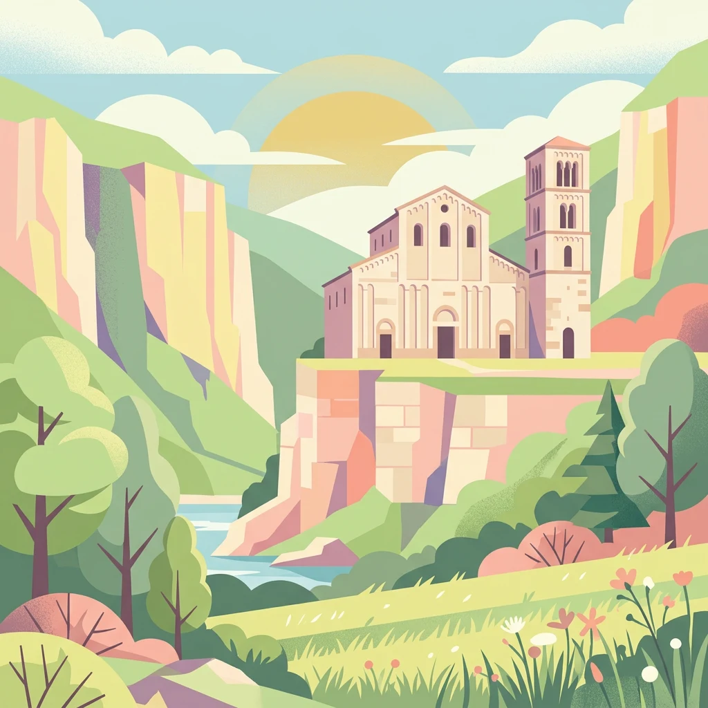
Italy's limestone wilderness protecting the Apennines' most significant mountain ecosystem
Maiella National Park is one of Italy's 24 national parks and occupies a significant portion of the Abruzzo region in central Italy, spanning the provinces of Chieti, Pescara, and L'Aquila. Established in 1991, the park centers on the imposing Maiella massif, a limestone-dolomitic mountain range of Mesozoic and Cenozoic age whose highest peak, Monte Amaro, rises to 2,793 meters. The protected area encompasses approximately 628 square kilometers of rugged mountain terrain, making it one of the most ecologically significant mountain protected areas in the Apennines. In 2021, the park was recognized as a UNESCO Global Geopark, acknowledging its exceptional geological heritage and scientific importance. The park features about 500 kilometers of hiking trails, significant cave systems including Grotta del Cavallone, and multiple visitor centers that showcase the park's natural and cultural treasures.
Mapping the regional boundaries and national placement within Italy
Maiella’s outline accompanies separate overall and land records
Vertical range data and recorded natural feature inventory
Peaks
1,612 m
Waterfalls
Viewpoints
Mountain saddles
Cave entrances
2,257 m
Peaks
1,901 m
Temperate climate zones, mountain relief, and forest cover classifications.
Mountains · Valleys · Plateau · Forest · Grassland · Cave
Temperate broadleaf forest · Montane forest · Alpine meadow · Grassland · Riverine habitat · Karst habitat
Compare diverse Apennine protected landscapes, tracing the regional geography of parks across central Italy.
Northwest

Mapped protected areas and regional natural landscape details.
Delve into the geography of Gran Sasso and Monti della Laga National Park, a prominent national park in Italy. This resource provides essential context for understanding its protected landscape, mapped boundaries, and integration within the regional geography. Ideal for users seeking detailed atlas-style information on protected areas and their natural terrain, it serves as a foundational point for exploring the park's unique geographic character and landscape significance.

Southwest
Protected landscape in Italy's Apennines.
Explore the mapped boundaries and protected status of Abruzzo, Lazio and Molise National Park. This historic Italian national park offers a detailed look at Apennine mountain geography and landscape.

Northeast
Protected Mediterranean shoreline in the Abruzzo region of Italy
Punta dell'Acquabella is a distinct nature reserve on the Adriatic coast of Abruzzo, characterized by its promontory, cliff habitats, and clear coastal waters. The area serves as a significant intersection of natural heritage and cultural landscape within the Trabocchi coast, offering a deep look into the regional geography and environmental features that define this protected territory.

East
Mapping protected Adriatic dune and wetland ecosystems
This nature reserve protects a vital 3-kilometer strip of the Adriatic coastline in Abruzzo, acting as a rare sanctuary for specialized flora and fauna. By managing a delicate ecotone of shifting sand dunes and brackish wetland basins, the area maintains a high degree of ecological significance within the regional landscape. The geography provides an important look at integrated coastal conservation at the meeting point of urbanized hinterlands and the Adriatic sea.
Northwest
Explore protected landscape boundaries and terrain.
Monti Sibillini National Park serves as a vital national park within the Marche region, offering a distinct natural landscape for geographic study. This entry provides essential context for understanding the park's mapped protected area status and its integration into the regional geography of central Italy. Delve into the park's specific setting, discovering how its terrain and protected status contribute to the atlas of Italian natural landscapes.

East
Mapped boundaries and natural terrain of a key Italian national park.
Delve into Gargano National Park, a designated national park situated in the Apulia region of Italy. This protected landscape offers valuable insights into the geography of the Gargano promontory. Through MoriAtlas, users can explore its mapped boundaries, understand its terrain, and connect it to the broader regional geography of southern Italy, providing a solid foundation for protected-area discovery.

Southwest
Explore mapped terrain and Mediterranean ecosystem boundaries.
Circeo National Park offers a distinct protected landscape anchored by the striking Monte Circeo limestone promontory and its associated coastal dunes and island environments. As one of Italy's earliest national parks, it preserves a vital mosaic of Mediterranean ecosystems, providing a unique subject for geographic study and atlas-based navigation of protected areas. Users can explore its mapped context and the interplay between karst geology, coastal terrain, and diverse natural habitats.

South
Explore mapped boundaries and regional geography.
Discover Vesuvius National Park, a vital protected area safeguarding Italy's iconic active volcano. This page provides essential geographic context, detailed mapped terrain, and insights into the park's unique volcanic landscape within the Campania region. It serves as a key entry point for understanding the park's protected status and its geological significance for structured atlas exploration.
Deepen your understanding of Maiella National Park by examining its specific geographic attributes and protected landscape features. This MoriAtlas entry facilitates detailed map exploration, allowing you to trace park boundaries and comprehend its role within the wider Abruzzo regional context. Continue your atlas journey by discovering the structured geographic data for this important Italian national park.