Mori Atlas logo
National parkGran Sasso and Monti della Laga National Park

Discover mapped boundaries and regional geographic context for this key Italian national park.

Gran Sasso and Monti della Laga National Park: A Protected Landscape for Geographic Discovery

(Parco Nazionale del Gran Sasso e Monti della Laga)

Gran Sasso and Monti della Laga National Park stands as a significant protected landscape within Italy, offering a unique focus for atlas-driven exploration. This page provides a gateway to understanding the park's geographic identity, its mapped protected area boundaries, and its relationship to the surrounding natural terrain. Through structured geographic data, users can visualize and comprehend the park's place in the wider regional landscape, facilitating detailed map-based discovery of this important national park.

National ParkMountain Protected AreaApenninesAlpine EnvironmentBear ConservationWilderness Area

Gran Sasso and Monti della Laga National Park

National park

Park overview

Structured park overview, official facts, and landscape profile for Gran Sasso and Monti della Laga National Park

Gran Sasso and Monti della Laga National Park park facts, protected area profile, and essential visitor context
Review the core facts for Gran Sasso and Monti della Laga National Park, including designation, size, terrain, visitor scale, habitats, and operating context in one park-focused overview.

About Gran Sasso and Monti della Laga National Park

Gran Sasso and Monti della Laga National Park represents one of the most important protected mountain ecosystems in Italy and the broader Mediterranean region. The park's territory encompasses an extraordinary range of altitudinal zones, from the windswept summits of Corno Grande down through subalpine grasslands, into extensive forests of beech and fir, and finally descending to the oak-covered hillsides of the Apennine foothills. This vertical ecological gradient creates remarkable habitat diversity within a relatively compact area. The geology of the park is dominated by limestone and dolomite, producing the dramatic vertical cliffs, karst caves, and rugged terrain that define the landscape's character. The Monti della Laga section of the park, though geologically distinct with its flysch formations, adds important wilderness character and additional habitat diversity. The park forms a critical ecological corridor connecting fragmented populations of wildlife across the central Apennines, and serves as the primary protected range for some of Italy's most endangered terrestrial species. The area has been inhabited for millennia, with evidence of human presence in the caves and valleys, though the high mountains remained relatively isolated and wild throughout history.

Quick facts and research context for Gran Sasso and Monti della Laga National Park

Located in Abruzzo, Lazio, and Marche regions in central Italy, Gran Sasso and Monti della Laga National Park covers approximately 1,500 square kilometers of mountainous terrain. The park was established in 1991 and encompasses the highest elevations in the Apennines, with Corno Grande standing as the iconic centerpiece. The landscape features dramatic limestone peaks, extensive plateaus, deep valleys, and the characteristic karst formations found throughout the Apennine limestone. The Monti della Laga range, though lower in elevation, contributes significant additional wilderness character with its steep-sided valleys and remote character.

Park context

Deeper park guide and search-rich context for Gran Sasso and Monti della Laga National Park

Gran Sasso and Monti della Laga National Park history, landscape, wildlife, and travel context
Explore Gran Sasso and Monti della Laga National Park through its history, landscape character, ecosystems, wildlife, conservation priorities, cultural context, and seasonal travel timing in a structured park guide built for atlas discovery and search intent.

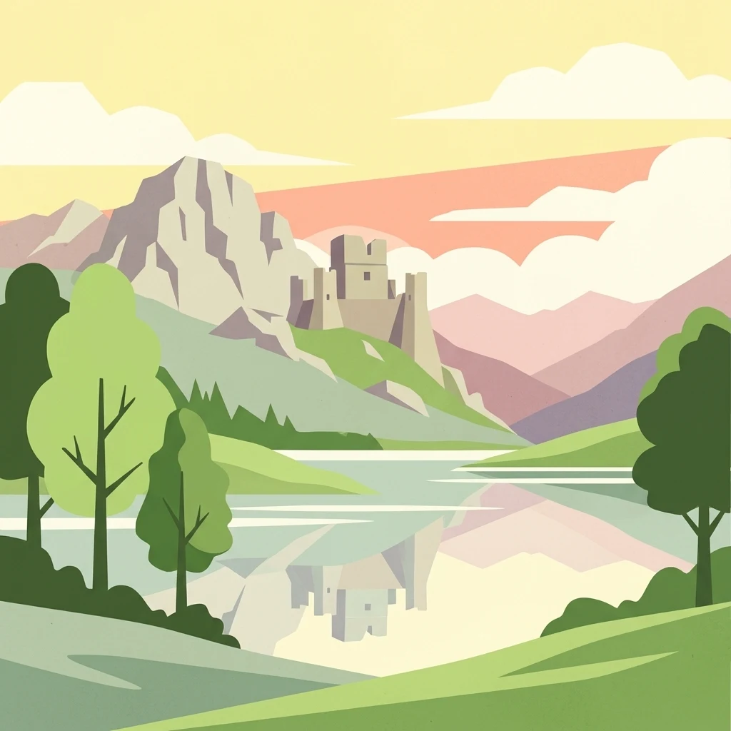
Why Gran Sasso and Monti della Laga National Park stands out

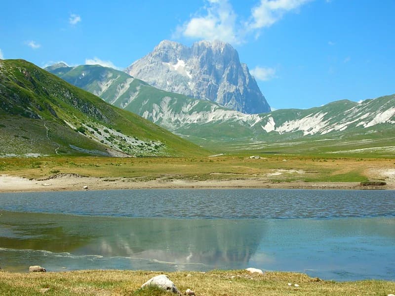
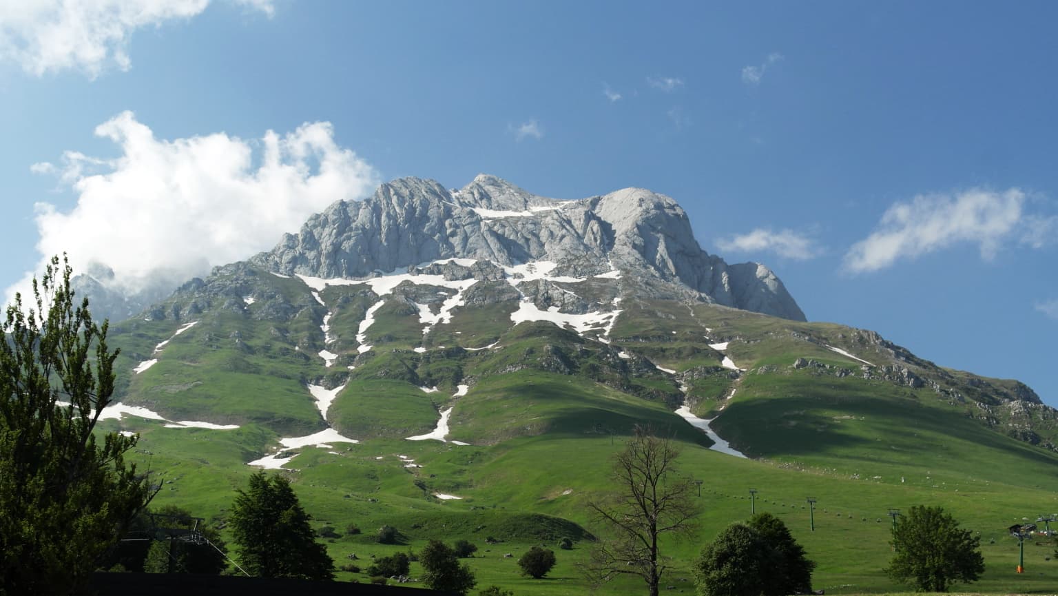
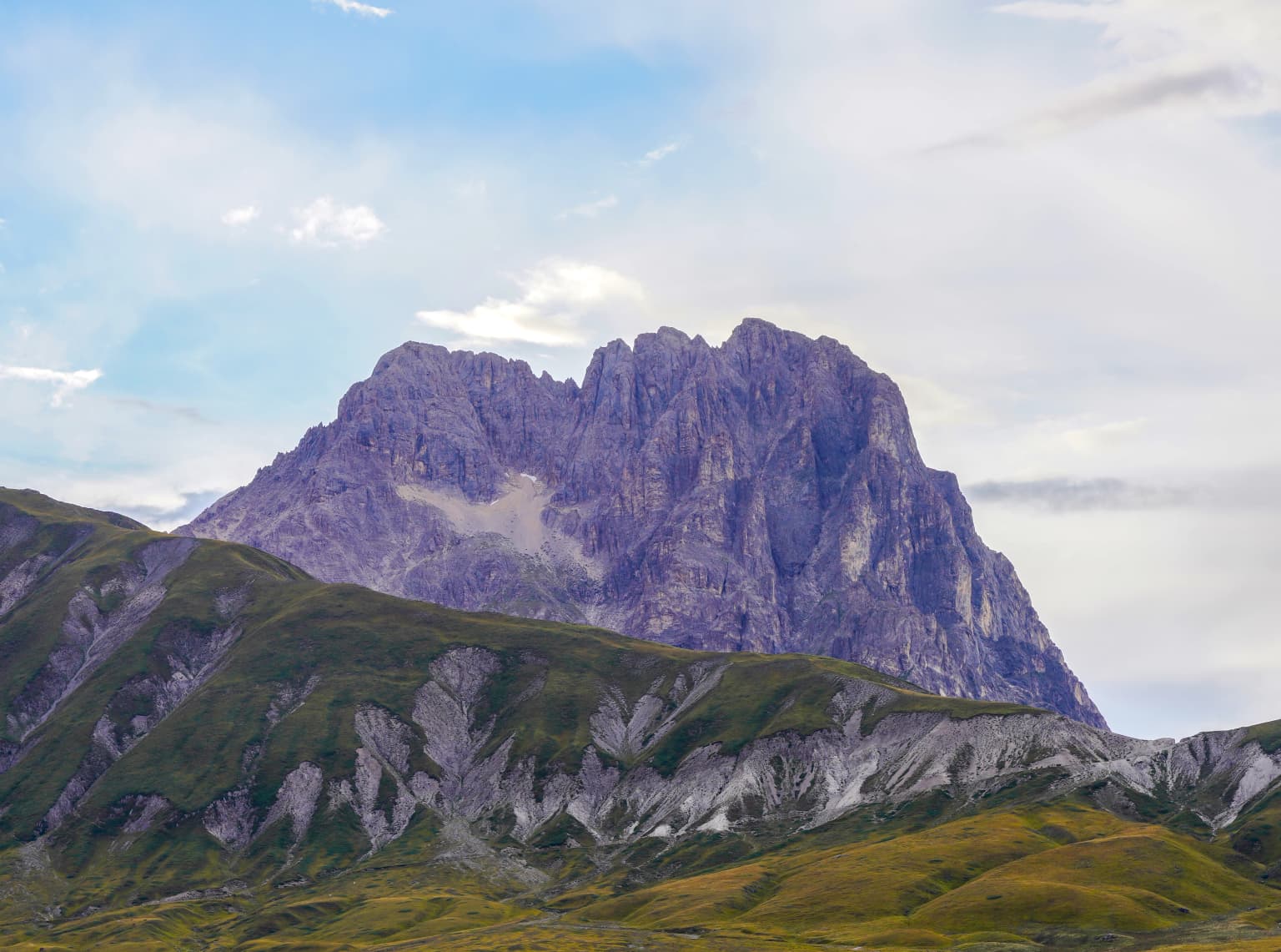
Gran Sasso and Monti della Laga National Park is best known for protecting the highest peaks in the Apennines and the last great wilderness areas in mainland Italy. The park is famous for Corno Grande, the dramatic limestone massif that dominates the landscape and offers challenging climbing and hiking opportunities. The park is equally renowned for its significant populations of endangered Apennine wildlife, particularly the Marsican brown bear, a genetically distinct subspecies found nowhere else in the world. The Calandra River canyon, deep gorges, and the Campo Pericoli area represent some of the most spectacular alpine scenery in Italy.

Gran Sasso and Monti della Laga National Park history and protected-area timeline

Gran Sasso and Monti della Laga National Park was established in 1991, representing decades of conservation advocacy to protect the central Apennine mountains. The creation of the park came after earlier conservation efforts, including the designation of the Gran Sasso d'Italia national nature reserve in 1919, which was one of Italy's earliest protected area designations. The park's establishment reflected growing recognition of the Apennines' ecological significance and the need to protect the declining populations of large carnivores in the region. Prior to formal protection, the mountain communities throughout the park practiced traditional transhumant pastoralism, which shaped much of the lower landscape and created the cultural context for the region. The park's boundary was designed to encompass both the high mountain wilderness and the traditional grazing lands, creating a complex conservation model that balances ecological protection with ongoing pastoral traditions.

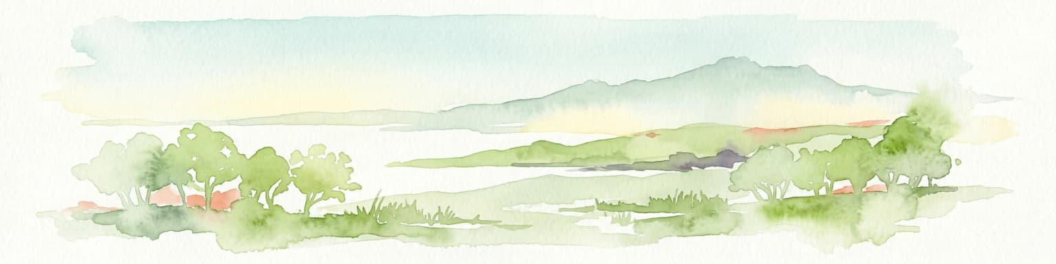
Gran Sasso and Monti della Laga National Park landscape and geographic character

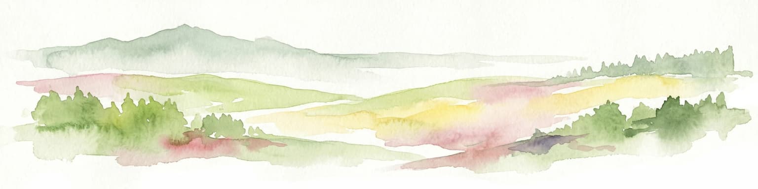
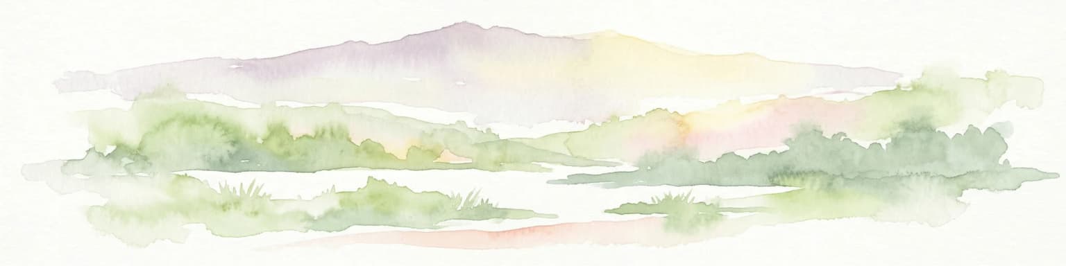
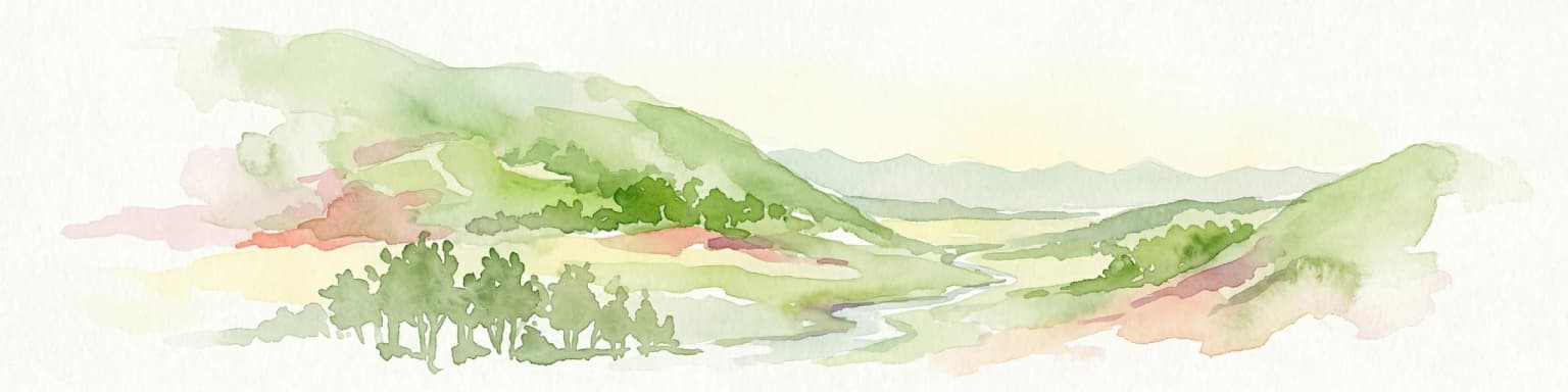
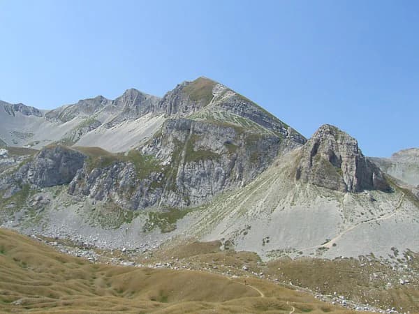
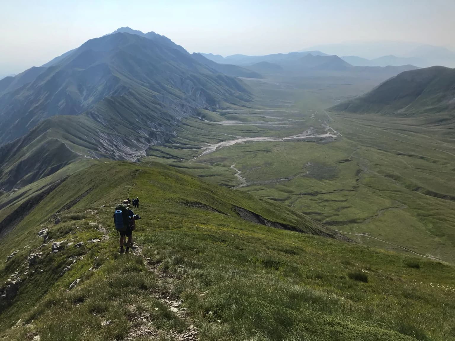
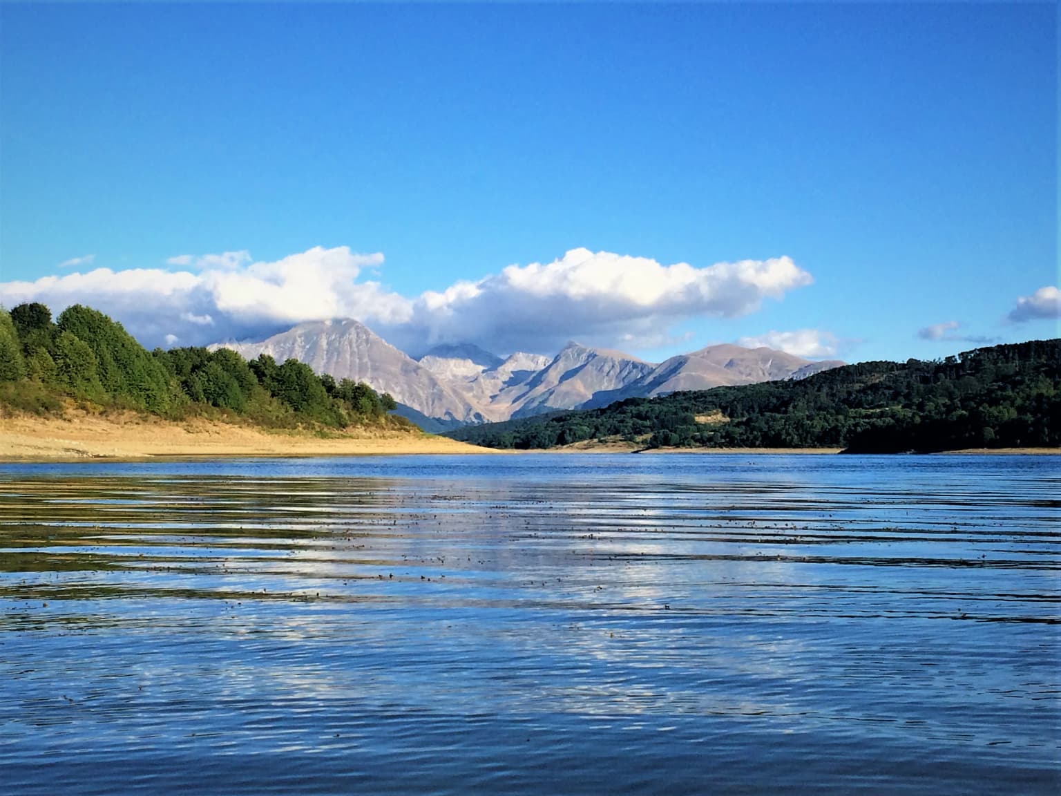
The landscape of Gran Sasso and Monti della Laga National Park is defined by dramatic alpine terrain characteristic of the central Apennines. The park's centerpiece, Corno Grande, rises as a spectacular limestone massif with sheer cliffs and rocky spires that create one of Italy's most impressive mountain silhouettes. The peak's highest point, at 2,912 meters, represents the loftest elevation in the Apennines and the highest point in Italy outside the Alps. Below the main peaks, the terrain drops into broad plateaus such as Campo Pericoli, which sits at approximately 2,000 meters and supports subalpine meadows during the brief summer season. The Monti della Laga range, though lower in elevation, presents equally dramatic scenery with steep-walled valleys, cascading streams, and remote ridgelines. The Calandra River has carved deep gorges through the park's limestone, creating some of the most spectacular canyon terrain in central Italy. Karst phenomena are widespread throughout the park, with numerous caves, sinkholes, and underground drainage systems characteristic of the limestone geology.

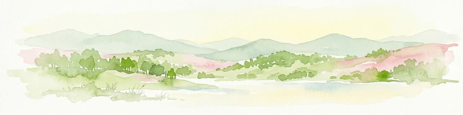
Gran Sasso and Monti della Laga National Park ecosystems, habitats, and plant life

The ecological systems within Gran Sasso and Monti della Laga National Park reflect the park's position as a critical biodiversity island in the Mediterranean. The elevational gradient supports distinct vegetation zones, with subalpine grasslands and rocky alpine zones at the highest elevations giving way to extensive beech forests in the montane zone, and oak-dominated woodlands in the lower foothills. The park contains significant old-growth beech forests that represent some of the best-preserved Apennine woodlands remaining in Italy. The Monti della Laga area supports particularly extensive forest cover, with mixed beech-fir forests in the upper zones and diverse deciduous woodlands below. The park's position at the junction of different climatic influences creates unusual species assemblages, combining Mediterranean elements with Alpine-affinity species at the highest elevations.

Gran Sasso and Monti della Laga National Park wildlife and species highlights

Gran Sasso and Monti della Laga National Park is home to remarkable wildlife, including some of Italy's most endangered species. The park supports one of the last viable populations of the Marsican brown bear, a genetically distinct subspecies of brown bear found only in the central Apennines. This bear, formally known as Ursus arctos marsicanus, represents a significant conservation priority, with the park providing critical habitat for the species' survival. The Apennine wolf is also present throughout the park, though these secretive predators are rarely observed by visitors. The diverse habitats support a rich bird fauna, including the golden eagle, peregrine falcon, and the distinctive Apennine subspecies of the spring salamander. The park's streams and rivers support populations of the Apennine grayling and the endemic Italian stream salamander.

Gran Sasso and Monti della Laga National Park conservation status and protection priorities

Gran Sasso and Monti della Laga National Park serves as a flagship conservation area for the protection of Apennine biodiversity and mountain ecosystems. The park's establishment created critical protected habitat for the Marsican brown bear, one of Europe's most endangered large carnivores, with the park harboring a significant portion of the remaining population. The protected area also supports conservation of the Apennine wolf and the broader community of species dependent on the central Apennine ecosystems. The park's conservation model includes protection of both the high mountain wilderness and the traditional pastoral landscapes, recognizing that the cultural landscape has maintained biodiversity values over centuries of traditional land use. The park participates in broader European conservation networks and works to maintain ecological connectivity across the Apennine mountain chain.

Gran Sasso and Monti della Laga National Park cultural meaning and human context

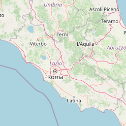
The human landscape within and around Gran Sasso and Monti della Laga National Park reflects centuries of traditional pastoral and agricultural use. The communities within the park boundaries maintain cultural connections to the land that predate formal protection, with many villages and settlements having historical ties to transhumant pastoral systems. The traditional practice of moving livestock between high summer pastures and lower winter grazing areas shaped much of the landscape's character and created the cultural context for the region. The park encompasses portions of three Italian regions: Abruzzo, Lazio, and Marche, each contributing distinct cultural traditions to the area. The town of L'Aquila, while not within the park boundaries, lies nearby and represents the principal urban center with historical connections to the mountain region.

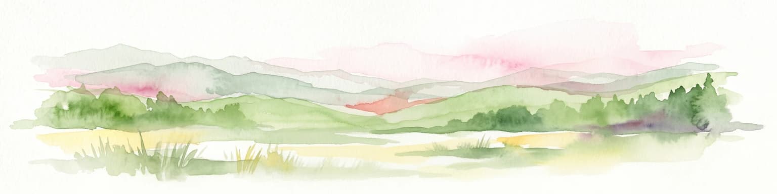
Top sights and standout views in Gran Sasso and Monti della Laga National Park

Gran Sasso and Monti della Laga National Park offers exceptional opportunities for experiencing Italy's last great mountain wilderness. The ascent to Corno Grande and its dramatic ridgeline provides challenging hiking and climbing for experienced mountaineers, while the extensive trail network through the lower forests and valleys offers more accessible exploration. The wildlife watching opportunities, though requiring patience and luck, provide chances to encounter one of Europe's most elusive large mammals in the Marsican brown bear. The network of mountain rifugios provides shelter and hospitality for those exploring the high country, and the traditional villages throughout the park offer cultural context and authentic local cuisine. The park's position in central Italy makes it accessible from Rome, while the protected wilderness feel contrasts sharply with the populated landscapes of the surrounding regions.

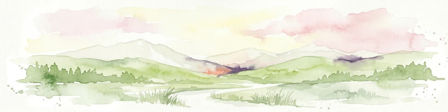
Best time to visit Gran Sasso and Monti della Laga National Park

The summer months from June through September offer the most reliable conditions for exploring Gran Sasso and Monti della Laga National Park, with warm weather in the valleys and the high country accessible for hiking. The subalpine meadows bloom with wildflowers during July and August, creating exceptional scenery above the tree line. Autumn brings spectacular fall colors to the beech forests and represents a quieter season with fewer visitors. Winter transforms the park into a snowy wilderness, with skiing and winter mountaineering possible in the higher terrain, though many trails are snowbound and facilities are limited. Spring can be variable, with residual snow in the high country and rapidly melting streams creating lush conditions in the lower valleys. The Marsican brown bear is most active during the spring and early summer, potentially increasing sighting opportunities in certain areas during these seasons.

Park location guide

Geography guide, regional context, and park location map for Gran Sasso and Monti della Laga National Park

Gran Sasso and Monti della Laga National Park park geography, regions, and map view in Italy
Understand where Gran Sasso and Monti della Laga National Park sits in Italy through a broader geographic reading of the surrounding landscape, nearby location context, and its mapped position within the national park landscape.

How Gran Sasso and Monti della Laga National Park fits into Italy

Italy is a unitary parliamentary republic in Southern and Western Europe, located on the Italian Peninsula with the Alps to the north. It borders France, Switzerland, Austria, Slovenia, Vatican City, and San Marino, and shares maritime boundaries with several Mediterranean countries. The country has approximately 59 million residents and uses the Euro as its currency.

Wider geography shaping Gran Sasso and Monti della Laga National Park in Italy

Italy occupies a boot-shaped peninsula in southern Europe, bordered by the Alps to the north. It shares land borders with France, Switzerland, Austria, Slovenia, Vatican City, and San Marino. The country includes the Mediterranean islands of Sicily and Sardinia, along with approximately 800 smaller islands.

Map view of Gran Sasso and Monti della Laga National Park

Use this park location map to pinpoint Gran Sasso and Monti della Laga National Park in Italy, understand its exact geographic position, and read its mapped placement within the surrounding landscape more clearly.

Pigeon | © OpenStreetMap contributors
Park atlas

Trace the regional geography of protected landscapes, from the Apennine peaks to surrounding Italian park systems.

Compare National Parks and Protected Areas Near Gran Sasso and Monti della Laga
Discover other national parks and protected areas that share the montane character of Gran Sasso and Monti della Laga National Park, including nearby wilderness areas across the central Apennines. Map their geographic distribution and compare diverse protected landscapes, from alpine environments and limestone formations to vital wildlife corridors across Italy's extensive network.
National parkMarche

Monti Sibillini National Park: National Park with Regional Geographic Context in Marche

Explore protected landscape boundaries and terrain.

Monti Sibillini National Park serves as a vital national park within the Marche region, offering a distinct natural landscape for geographic study. This entry provides essential context for understanding the park's mapped protected area status and its integration into the regional geography of central Italy. Delve into the park's specific setting, discovering how its terrain and protected status contribute to the atlas of Italian natural landscapes.

Area
697.22 km²
Established
1993
IUCN
II
Relief
Mountain
Watercolor painting showing mountains, forests, and a body of water in a scenic landscape
National parkAbruzzo

Maiella National Park: Abruzzo's Protected Landscape and Regional Geography

Explore mapped park boundaries and natural terrain.

Delve into the protected landscape of Maiella National Park, situated within the Abruzzo region of southern Italy. This page offers detailed atlas-level insights into its mapped boundaries, allowing for a clear understanding of its geographic setting. Discover how this national park contributes to the regional natural terrain and protected area context, providing a foundation for structured geographic exploration.

Area
628.38 km²
Established
1991
IUCN
II
Relief
Mountain
National park

Abruzzo, Lazio and Molise National Park

Protected landscape in Italy's Apennines.

Explore the mapped boundaries and protected status of Abruzzo, Lazio and Molise National Park. This historic Italian national park offers a detailed look at Apennine mountain geography and landscape.

Established
1923
National parkŠibenik-Knin County

Kornati Islands National Park: Dense Mediterranean Archipelago and Protected Karst Landscape

Explore the mapped geography and unique protected island terrain.

Kornati Islands National Park, located in Šibenik-Knin County, Croatia, is distinguished as the Mediterranean's most densely packed archipelago. This national park protects a vast expanse of karst limestone islands, dramatic sea cliffs, and unique flat rock plateaus, alongside its significant marine environment. MoriAtlas provides detailed geographic context and mapped boundaries, enabling structured exploration of this exceptional protected landscape and its ecological significance within the Adriatic Sea.

Area
320 km²
Established
1980
Relief
Lowland
Climate
Mediterranean
Watercolor illustration of a mountainous landscape with green hills, a valley with a river, and distant mountains under a pink and yellow sky
National parkCampania

Vesuvius National Park: Protected Volcanic Landscape in Campania, Italy

Explore mapped boundaries and regional geography.

Discover Vesuvius National Park, a vital protected area safeguarding Italy's iconic active volcano. This page provides essential geographic context, detailed mapped terrain, and insights into the park's unique volcanic landscape within the Campania region. It serves as a key entry point for understanding the park's protected status and its geological significance for structured atlas exploration.

Area
72.59 km²
Established
1995
IUCN
II
Relief
Mountain
National parkForlì-Cesena Province

Foreste Casentinesi, Monte Falterona, Campigna National Park: A Mapped Protected Landscape in Italy

National Park within Forlì-Cesena Province, Emilia-Romagna

Foreste Casentinesi, Monte Falterona, Campigna National Park is an important protected natural area situated in Forlì-Cesena Province, northeastern Italy. As a designated national park, it serves as a key landmark for exploring mapped protected land boundaries and understanding its specific contribution to the regional geography. This page provides an atlas-centric view, highlighting the park's geographic context and its identity as a significant protected landscape for discovery and reference.

Area
368 km²
Established
1993
IUCN
II
Relief
Mountain
National parkApulia

Gargano National Park: Apulia's Protected Landscape and Regional Geographic Context

Mapped boundaries and natural terrain of a key Italian national park.

Delve into Gargano National Park, a designated national park situated in the Apulia region of Italy. This protected landscape offers valuable insights into the geography of the Gargano promontory. Through MoriAtlas, users can explore its mapped boundaries, understand its terrain, and connect it to the broader regional geography of southern Italy, providing a solid foundation for protected-area discovery.

Area
1,181.44 km²
Established
1991
IUCN
II
Relief
Mixed relief
National parkŠibenik-Knin County

Krka National Park: Croatia's National Park with European Cascade Waterfalls

Explore the mapped protected landscape and karst geography.

Krka National Park, designated as a national park in Croatia, offers a rich exploration of its protected landscape. Located in Šibenik-Knin County, the park is defined by the Krka River and its extraordinary seven travertine waterfalls, most notably Skradinski buk, the largest cascade system of its kind in Europe. This atlas-focused view highlights the park's unique karst terrain, Mediterranean ecosystems, and its position within the regional geography, providing essential context for understanding its protected natural heritage.

Area
109 km²
Established
1985
Relief
Lowland
Climate
Mediterranean

Common questions about visiting, size, designation, and location context for Gran Sasso and Monti della Laga National Park

Gran Sasso and Monti della Laga National Park FAQs for park facts, access, geography, and protected area context
Find quick answers about Gran Sasso and Monti della Laga National Park, including protected-area facts, park geography, trail and visitor context, and how the park fits into its surrounding country and regional landscape.
MoriAtlas Explorer

Continue Your Protected Areas Search Across the Global Atlas

Deepen your exploration by continuing the structured search for national parks and protected areas worldwide. Utilize the comprehensive filtering capabilities to compare different conservation landscapes and refine your understanding of global park geography. Discover more about the distribution and characteristics of protected natural areas.

Global natural geography