Mori Atlas logo
National parkForeste Casentinesi, Monte Falterona, Campigna National Park

Discover the mapped boundaries and geographic context of this national park in Forlì-Cesena Province.

Foreste Casentinesi, Monte Falterona, Campigna National Park: Italy's Protected Forested Landscape

(Parco Nazionale delle Foreste Casentinesi, Monte Falterona, Campigna)

Foreste Casentinesi, Monte Falterona, Campigna National Park represents a significant protected natural area within the geography of Forlì-Cesena Province, Italy. This national park offers a unique focal point for exploring mapped protected landscapes and understanding regional land cover. Users can engage with the park's geographic identity, appreciating its role within the broader atlas of Italian natural heritage and its specific position in northeastern Italy.

National ParkAncient ForestsUNESCO World HeritageApennine MountainsBeech ForestsWolf Population
Stylized illustration of a mountainous landscape with a waterfall, dense forests, and rocky cliffs

Foreste Casentinesi, Monte Falterona, Campigna National Park

National park

Park overview

Structured park overview, official facts, and landscape profile for Foreste Casentinesi, Monte Falterona, Campigna National Park

Foreste Casentinesi, Monte Falterona, Campigna National Park park facts, protected area profile, and essential visitor context
Review the core facts for Foreste Casentinesi, Monte Falterona, Campigna National Park, including designation, size, terrain, visitor scale, habitats, and operating context in one park-focused overview.

About Foreste Casentinesi, Monte Falterona, Campigna National Park

Foreste Casentinesi, Monte Falterona, Campigna National Park protects a remarkable landscape where the Apennine mountain range forms the boundary between two distinct Italian regions and their different environmental character. The park's territory is characterized by a long ridge running roughly northwest to southeast, with the Romagna side descending steeply through a series of parallel valleys while the Tuscan side, particularly the Casentino area, slopes more gradually toward the broad Arno Valley. This varied topography creates a mosaic of microhabitats that support extraordinary biodiversity. The park's forests represent the most valuable timbered areas in Europe, with the Casentinesi State Forests forming its core. These forests have been managed for centuries, supplying timber for major historical projects including the Florence Cathedral's dome and the mast construction for the naval fleets of Pisa and Livorno under the Grand Duchy of Tuscany. Today, the park balances conservation with sustainable forestry and tourism, offering visitors a glimpse of what much of the Apennine landscape once looked like before centuries of human modification.

Quick facts and research context for Foreste Casentinesi, Monte Falterona, Campigna National Park

This national park occupies the central-northern Apennine chain across three provinces: Forlì-Cesena in Emilia-Romagna, and Arezzo and Florence in Tuscany. The highest peaks are Monte Falco at 1,658 metres and Monte Falterona at 1,654 metres, the latter being the source of the Arno River. The park was formally established in 1993 and includes several integral reserves, the oldest and most significant being Sasso Fratino, created in 1959 as Italy's first integral nature reserve. The park's geological foundation consists primarily of the Marnoso Arenacea formation on the Romagna side and Macigno sandstone on the Tuscan side. The park serves as a critical watershed divide, feeding tributaries of both the Adriatic Sea (through the Montone, Rabbi, and Bidente rivers) and the Tyrrhenian Sea.

Park context

Deeper park guide and search-rich context for Foreste Casentinesi, Monte Falterona, Campigna National Park

Foreste Casentinesi, Monte Falterona, Campigna National Park history, landscape, wildlife, and travel context
Explore Foreste Casentinesi, Monte Falterona, Campigna National Park through its history, landscape character, ecosystems, wildlife, conservation priorities, cultural context, and seasonal travel timing in a structured park guide built for atlas discovery and search intent.

Why Foreste Casentinesi, Monte Falterona, Campigna National Park stands out

The park is renowned for its ancient beech forests, particularly within the Sasso Fratino Integral Reserve, which represents the first integral nature reserve established in Italy and remains one of the most strictly protected forest areas in Europe. It hosts the most significant population of the Apennine wolf in the northern Apennines, with approximately fifty individuals distributed across nine packs. The park contains remarkable botanical diversity, including 48 tree and shrub species, over 1,000 herbaceous species, and 845 fungal species, some discovered only within these forests. The Acquacheta waterfall, cited in Dante's Divine Comedy, and the historic monastic sites of Camaldoli and La Verna add cultural depth to the park's natural significance.

Aerial view of a dense forest with autumn foliage in shades of orange, yellow, and green
Autumn-colored forest landscape in Foreste Casentinesi National Park

Foreste Casentinesi, Monte Falterona, Campigna National Park history and protected-area timeline

The history of human presence in what is now the national park dates to antiquity, when the Etruscans established the important 'Lake of the Idols' at the foot of Monte Falterona, the most significant Etruscan sanctuary site in the Tuscan-Romagnolo Apennines. The Casentinesi Forests were well known during the medieval period when Tuscan populations utilized the precious timber from these woodlands for numerous activities, including the construction of the Florence Cathedral. The Grand Duchy of Tuscany used enormous white firs from these mountains to construct the masts for naval fleets. Monastic settlements played a particularly important role in shaping and preserving the forests. The Camaldoli monastery was founded in 1012 by Saint Romualdo, while San Francesco established the sanctuary at La Verna in 1213. These monastic communities became custodians of the forest landscape for centuries. The park's modern conservation history began with the establishment of Sasso Fratino as Italy's first integral nature reserve in 1959, a pioneering protection initiative in European context. The national park itself was officially created in 1993, formalizing protection for this ecologically significant Apennine landscape.

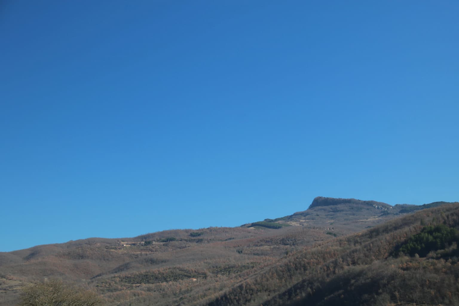
Foreste Casentinesi, Monte Falterona, Campigna National Park landscape and geographic character

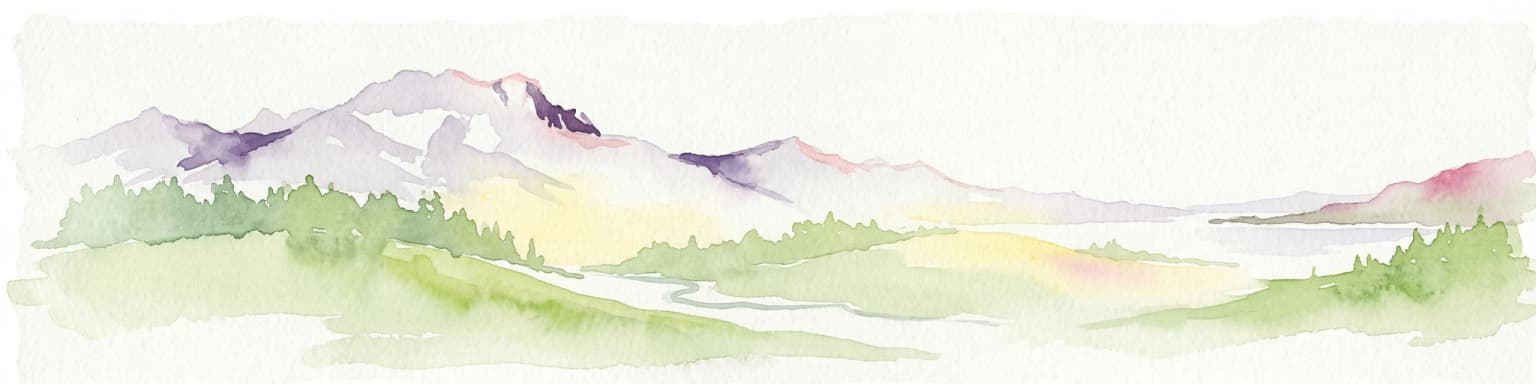
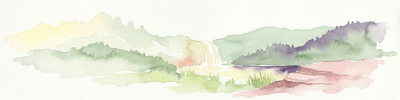
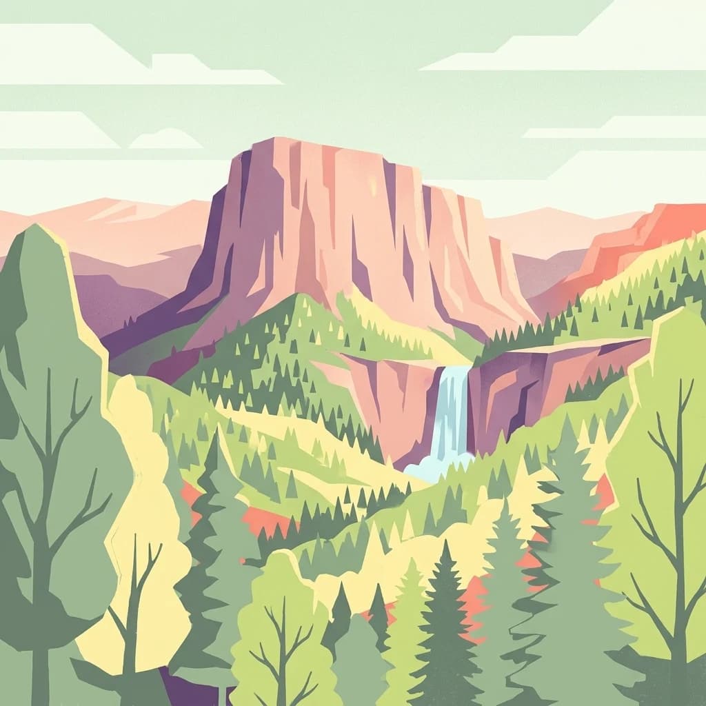
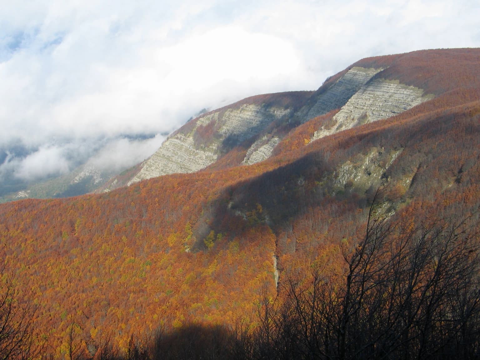
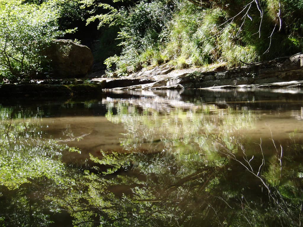
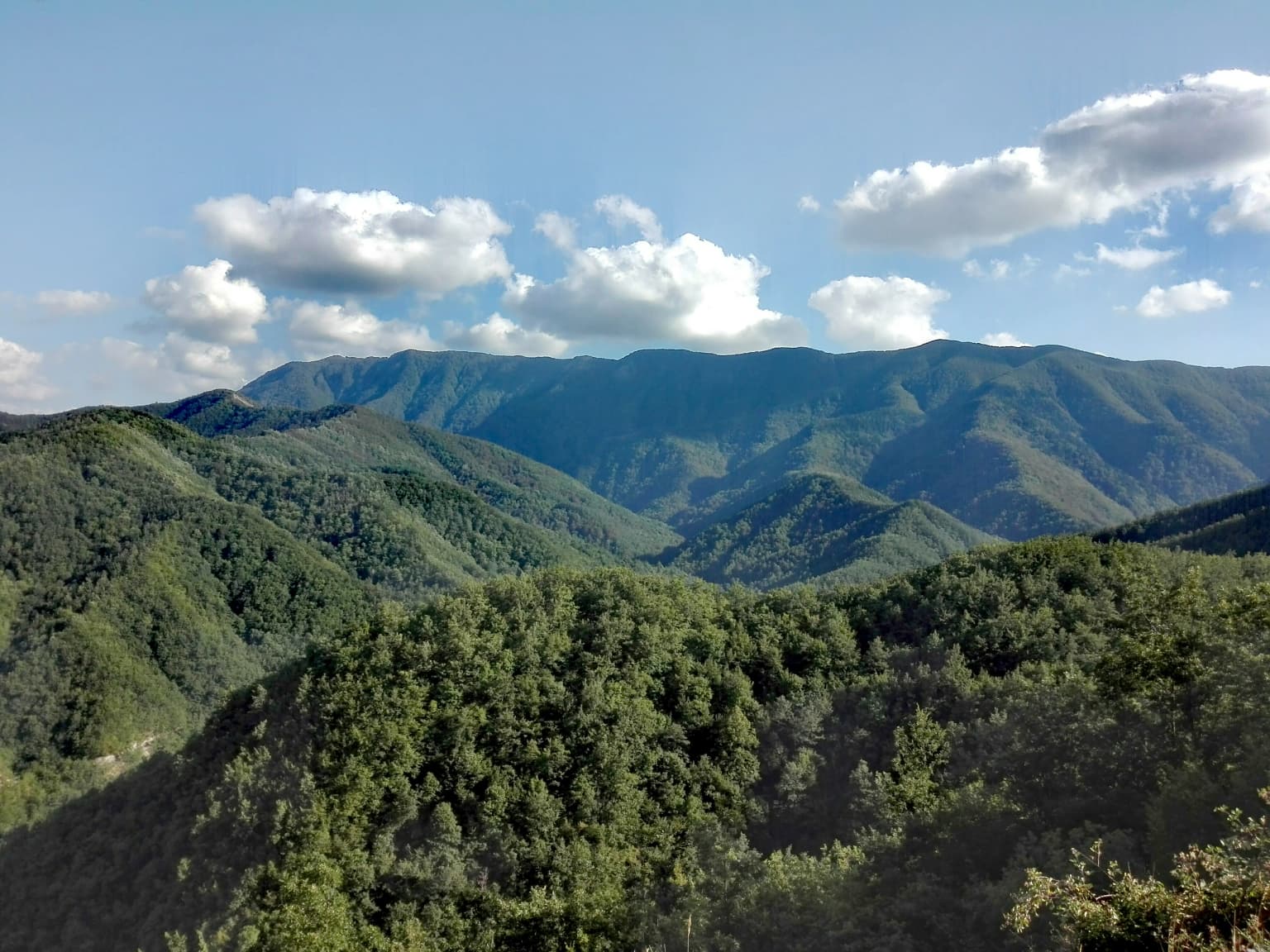
The park's landscape is defined by the Apennine ridge that forms its structural backbone, with secondary parallel ridges creating a series of distinct valleys on the Romagnolo side. Elevation within the park ranges from approximately 400 metres to 1,658 metres at Monte Falco, with Monte Falterona reaching 1,654 metres. The geological character differs markedly between the two sides of the watershed: the Romagna side features the Marnoso Arenacea formation, composed of deep marine sediments with large sandstone banks interspersed with thin marl layers, while the Tuscan side is dominated by Macigno, a formation of alternating sandstone banks, clay schists, and grey marls. The landscape contains approximately eighty geomorphological features of interest, including natural caves, springs, and paleontological outcroppings. The Acquacheta waterfall stands out not only for its 80-metre drop but also for its cultural significance, having been mentioned by Dante in the Inferno. The park's drainage network feeds multiple river systems flowing toward both the Adriatic and Tyrrhenian seas, with the Arno River originating from Monte Falterona.

Mountain slope with autumn-colored trees and rocky cliffs under a cloudy sky
Autumn foliage covering Monte Falterona's slopes under a partly cloudy sky

Foreste Casentinesi, Monte Falterona, Campigna National Park ecosystems, habitats, and plant life

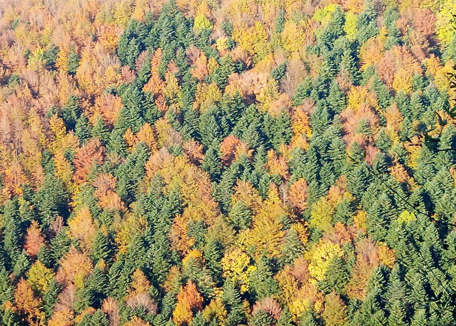
The park's ecological character is defined by extensive forest cover, with approximately 80 percent of its territory wooded, making it one of Italy's most forested protected areas. The vegetation zones include extensive beech forests in the montane belt above 900-1,000 metres, where Fagus sylvatica forms the dominant tree species, often in pure stands or mixed with white fir. Silver fir forests historically favoured by humans occupy certain areas, while oak and mixed deciduous forests dominate the lower colline and submontane zones. Chestnut woods remain widespread in both the Romagna and Tuscan sides, a legacy of centuries of human cultivation for both fruit and timber. The park sits at a biogeographic crossroads between northern and southern Italian floristic elements, resulting in remarkable plant diversity including 37 species of ferns and clubmosses (more than one-third of all Italian species) and 44 orchid species. The Sasso Fratino Integral Reserve preserves forest tracts in a condition as close as possible to natural state, with old-growth beech forests that have developed without significant human intervention for centuries.

Calm stream reflecting surrounding trees and vegetation with rocky banks
Acquacheta stream surrounded by lush forest vegetation in Foreste Casentinesi National Park

Foreste Casentinesi, Monte Falterona, Campigna National Park wildlife and species highlights

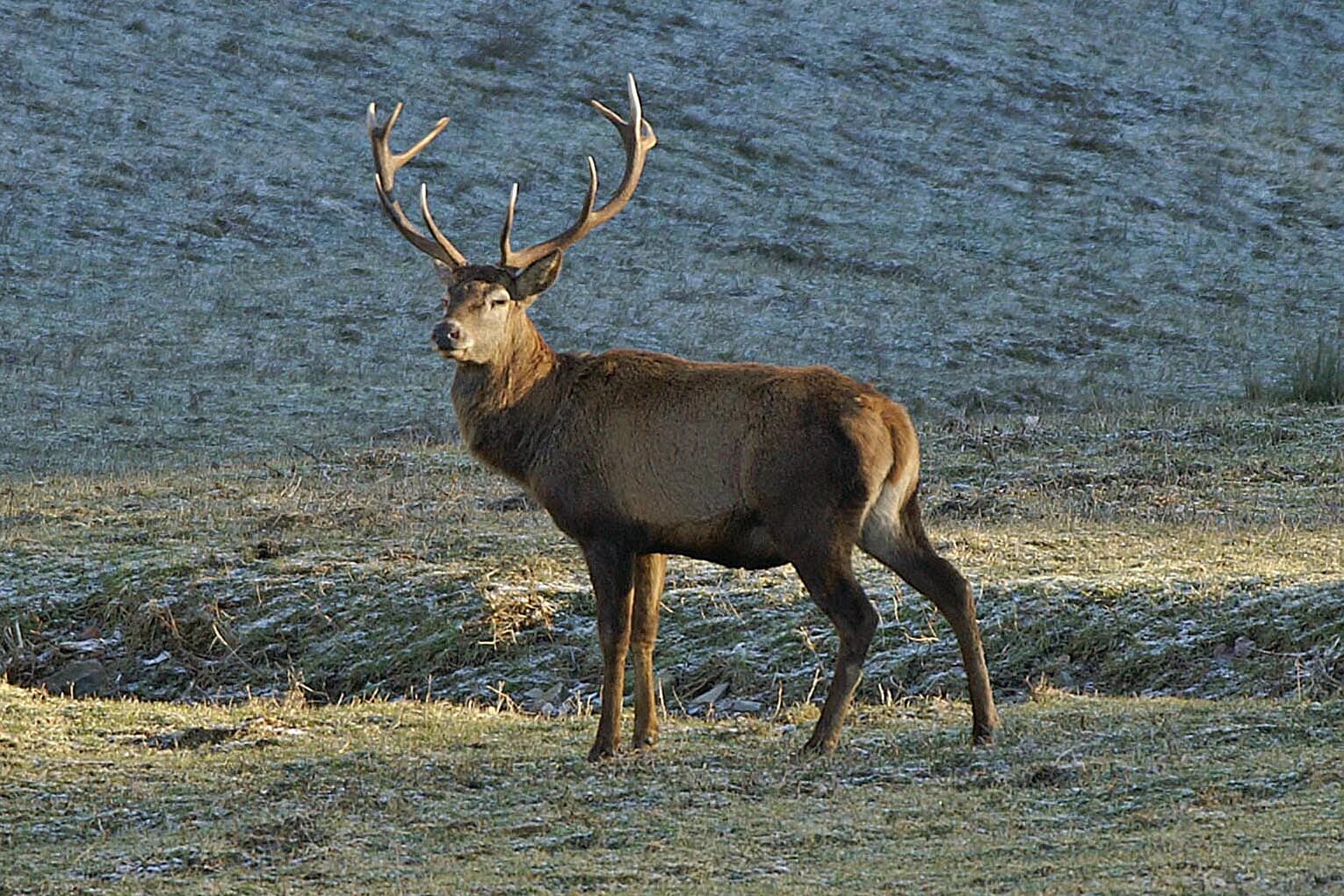
The park supports Italy's most important population of the Apennine wolf in the northern Apennines, with an estimated fifty individuals divided among nine hypothetical packs distributed throughout the park's territory. The wolf population benefits from the extensive forest cover and the presence of four ungulate species: wild boar, roe deer, fallow deer, and red deer. Among carnivores, the European wild cat represents a particularly significant find, representing a northern expansion of the species beyond its traditional range limit. The bird fauna includes 139 species, with 100 regularly present throughout the year and 77 confirmed as breeding. The black woodpecker population represents the only confirmed breeding presence in the northern Apennines. The park supports 23 species of diurnal raptors and five species of owls. Amphibians and reptiles are represented by 25 species, roughly one-third of Italian amphibians and one-fifth of Italian reptiles. The invertebrate fauna is exceptionally rich, with 230 carabid beetle species (17 percent of Italian species), 118 longhorn beetle species, and 845 butterfly and moth species.

Panoramic view of rolling green mountains and dense forests under a partly cloudy sky
Sassofratino viewed from Passo della Calla in Foreste Casentinesi National Park

Foreste Casentinesi, Monte Falterona, Campigna National Park conservation status and protection priorities

The park's conservation significance is recognized through multiple international designations. Sasso Fratino became Italy's first integral nature reserve in 1959 and has been awarded the European Diploma for Protected Areas by the Council of Europe since 1985. In 2017, Sasso Fratino and the ancient beech forests within the park were inscribed on the UNESCO World Heritage List as part of the serial transnational site 'Ancient and Primeval Beech Forests of the Carpathians and Other Regions of Europe'. The park received the Wilderness Diploma from the European Wilderness Society in 2015 and was admitted to the European Charter for Sustainable Tourism in the same year. Since April 2021, the park has been included on the IUCN Green List, recognizing the effectiveness of its management. The park's zoning system divides the territory into four protection zones, with Zone A (integral reserve) covering approximately 1,200 hectares including Sasso Fratino, Monte Falco, Monte Penna, and other strictly protected areas where natural processes are allowed to proceed without human intervention.

Foreste Casentinesi, Monte Falterona, Campigna National Park cultural meaning and human context

The park territory contains significant cultural and religious heritage tied to its monastic traditions. The Camaldoli monastery, founded in 1012 by Saint Romualdo, remains an active spiritual centre and has shaped the surrounding forest landscape for over a millennium. The Sanctuary of La Verna, donated to Saint Francis of Assisi in 1213 by Count Orlando Cattani, occupies a dramatic setting on a limestone cliff with panoramic views over the Romagna landscape. The park contains numerous historic villages including Badia Prataglia, Camaldoli, La Verna, and San Benedetto in Alpe. The Acquacheta waterfall holds particular literary significance as the only natural feature from the Apennines mentioned in Dante's Divine Comedy. The park also bears witness to more recent history along the Gothic Line, with the Freedom Trail commemorating Allied airdrops to partisan fighters during World War II.

A deer with large antlers standing in a grassy field with a sloped hillside background
Deer standing in a grassy field within Foreste Casentinesi National Park

Top sights and standout views in Foreste Casentinesi, Monte Falterona, Campigna National Park

Sasso Fratino Integral Reserve represents the crown jewel of the park's protection system, being Italy's first integral nature reserve and now a UNESCO World Heritage Site preserving ancient beech forests in a near-natural state. The source of the Arno River at Monte Falterona and the Tiber springs at Mount Fumaiolo mark significant hydrological landmarks. The Camaldoli monastery and La Verna sanctuary provide profound spiritual and historical dimension. The Valbonella Botanical Gardens and the Carlo Siemoni Arboretum at Badia Prataglia offer educational opportunities to understand the park's flora. The Acquacheta waterfall combines natural beauty with literary significance through its mention in Dante's Divine Comedy. The Ridracoli reservoir provides both water supply and recreational opportunities.

Clear blue sky above rolling hills and a distant mountain peak in a mountainous landscape
View of Monte Penna from Via Ghibellina within Foreste Casentinesi National Park

Best time to visit Foreste Casentinesi, Monte Falterona, Campigna National Park

The park can be visited throughout the year, with each season offering distinct experiences. Spring brings abundant wildflower displays in the meadows and forest clearings, particularly in May and June when orchid season peaks and the beech forests are filled with fresh green foliage. Summer offers pleasant temperatures in the montane zone, making it ideal for hiking on the higher trails, though afternoon thunderstorms are common. Autumn provides the spectacular colour change of the deciduous forests, especially in October when beech and oak foliage turns golden, and is also the best season for observing deer during the rutting season. Winter transforms the landscape, with snow on the higher peaks and frozen waterfalls creating a different but equally compelling atmosphere, though some trails may be inaccessible. The wolf monitoring activities conducted by park staff offer opportunities for wildlife observation during the cooler months.

Park location guide

Geography guide, regional context, and park location map for Foreste Casentinesi, Monte Falterona, Campigna National Park

Foreste Casentinesi, Monte Falterona, Campigna National Park park geography, regions, and map view in Italy
Understand where Foreste Casentinesi, Monte Falterona, Campigna National Park sits in Italy through a broader geographic reading of the surrounding landscape, nearby location context, and its mapped position within the national park landscape.

How Foreste Casentinesi, Monte Falterona, Campigna National Park fits into Italy

Italy is a unitary parliamentary republic in Southern and Western Europe, located on the Italian Peninsula with the Alps to the north. It borders France, Switzerland, Austria, Slovenia, Vatican City, and San Marino, and shares maritime boundaries with several Mediterranean countries. The country has approximately 59 million residents and uses the Euro as its currency.

Wider geography shaping Foreste Casentinesi, Monte Falterona, Campigna National Park in Italy

Italy occupies a boot-shaped peninsula in southern Europe, bordered by the Alps to the north. It shares land borders with France, Switzerland, Austria, Slovenia, Vatican City, and San Marino. The country includes the Mediterranean islands of Sicily and Sardinia, along with approximately 800 smaller islands.

Map view of Foreste Casentinesi, Monte Falterona, Campigna National Park

Use this park location map to pinpoint Foreste Casentinesi, Monte Falterona, Campigna National Park in Italy, understand its exact geographic position, and read its mapped placement within the surrounding landscape more clearly.

Pigeon | © OpenStreetMap contributors

Location context for Foreste Casentinesi, Monte Falterona, Campigna National Park

Emilia-RomagnaForlì-Cesena ProvinceTuscany

Understanding the Protected Area's Terrain, Ancient Forests, and Mountain Scenery

Visual Exploration: Foreste Casentinesi, Monte Falterona, Campigna National Park Landscapes
Discover imagery depicting the diverse landscapes, ancient beech forests, and unique habitats of Foreste Casentinesi, Monte Falterona, Campigna National Park, spanning its Apennine ridges to Romagna's deep valleys. Visual insights illuminate the park's ecological character, highlighting its protected natural environment and distinct geomorphological features for a clearer understanding.

Aerial view of a dense forest with autumn foliage in shades of orange, yellow, and green

Yellow flowering bush in foreground with mountain valleys and ridges under clear blue sky

Mountain slope with autumn-colored trees and rocky cliffs under a cloudy sky

Calm stream reflecting surrounding trees and vegetation with rocky banks

Panoramic view of rolling green mountains and dense forests under a partly cloudy sky

Village nestled in valley with autumn-colored trees, surrounded by forested mountains under clear blue sky

A deer with large antlers standing in a grassy field with a sloped hillside background

Clear blue sky above rolling hills and a distant mountain peak in a mountainous landscape

Rolling green hills and distant mountain peaks under a partly cloudy sky

Grassy hillside with stone ruin, grazing cows, dirt road, and mountain range under partly cloudy sky

Wide panoramic view of lush green mountains and valleys with dense forests under a clear blue sky

Brown European squirrel holding a nut with both paws on forest floor

A white-clawed crayfish (Austropotamobius pallipes) resting on a wet rock surface

Tall wooden cross on a stone base with trees and clear sky in the background

Grassy meadow with a path leading toward a forested hill under cloudy sky

Park atlas

Compare surrounding protected landscapes across the Apennine Mountains and Forlì-Cesena Province

Discover More National Parks and Protected Areas near Foreste Casentinesi, Monte Falterona, Campigna National Park
Explore a curated list of national parks and protected areas geographically proximate to Foreste Casentinesi, Monte Falterona, Campigna National Park, expanding your view beyond its ancient beech forests and Apennine ridges. This geographic context helps compare diverse conservation landscapes, tracing the regional spread of protected zones across Emilia-Romagna and Tuscany for comprehensive atlas discovery.
Watercolor painting of rolling green hills under a sunset sky with soft color transitions
National parkEmilia-Romagna

Appennino Tosco-Emiliano National Park: Explore Its National Park Boundaries and Geography

Discover the mapped landscape and regional context of this protected area.

Appennino Tosco-Emiliano National Park is a designated national park offering a rich area for geographic exploration. This MoriAtlas entry details the park's protected landscape, providing insights into its mapped boundaries and its contribution to the natural terrain of the Emilia-Romagna region. Understand its significance within the broader atlas of Italian protected areas, focusing on its unique geographic identity and landscape context.

Area
227.92 km²
Established
2001
IUCN
II
Relief
Mountain
Watercolor painting of a mountainous landscape with green and yellow terrain, distant mountains, and forests
National parkMarche

Monti Sibillini National Park: National Park with Regional Geographic Context in Marche

Explore protected landscape boundaries and terrain.

Monti Sibillini National Park serves as a vital national park within the Marche region, offering a distinct natural landscape for geographic study. This entry provides essential context for understanding the park's mapped protected area status and its integration into the regional geography of central Italy. Delve into the park's specific setting, discovering how its terrain and protected status contribute to the atlas of Italian natural landscapes.

Area
697.22 km²
Established
1993
IUCN
II
Relief
Mountain
National parkTuscany

Arcipelago Toscano National Park: Protected Islands and Mediterranean Landscape Atlas

Explore Tuscany's unique archipelago geography and protected natural terrain.

Arcipelago Toscano National Park offers a unique perspective on Mediterranean island ecosystems through its comprehensive atlas and mapped landscape context. Covering seven main islands and surrounding marine areas off the coast of Tuscany, this park protects dramatic granite cliffs, endemic flora, and vital habitats for marine and avian life. Understand its geographic scope, protected boundaries, and the distinctive natural terrain that defines this significant Italian conservation landscape.

Area
746.63 km²
Established
1996
IUCN
II
Relief
Mixed relief
Watercolor illustration of a mountainous coastal landscape with green vegetation and a body of water
National parkLiguria

Cinque Terre National Park: Protected Area Geography and Mapped Landscape

Explore its regional context in Liguria, Italy.

Examine Cinque Terre National Park as a key protected area within the rugged geography of Italy's Liguria region. This dedicated atlas entry provides essential geographic context, detailing the park's mapped boundaries and its significance as a national park. Understand how this protected landscape fits within the broader regional terrain, offering a structured view for geographic discovery and map-based exploration of Italy's protected areas.

Area
22 km²
Established
1999
IUCN
V
Relief
Mountain
Watercolor painting of coastal landscape with green islands, trees, and calm water under a soft sky
National park

Brijuni Islands National Park: Adriatic Protected Landscape and Historical Atlas

Mapped boundaries, regional geography, and ecological context.

Brijuni Islands National Park is a significant protected area comprising a Croatian archipelago in the northern Adriatic Sea. This national park showcases a unique Mediterranean landscape blending natural habitats with extensive archaeological sites, offering a rich context for atlas-based exploration. Understanding Brijuni Islands National Park contributes to a broader appreciation of regional geography and the mapped distribution of protected lands.

Area
7.5 km²
Established
1983
IUCN
II
Relief
Lowland
Watercolor painting of mountains, green valleys, and a river
National park

Gran Sasso and Monti della Laga National Park: Italy's National Park Geographic Context

Mapped protected areas and regional natural landscape details.

Delve into the geography of Gran Sasso and Monti della Laga National Park, a prominent national park in Italy. This resource provides essential context for understanding its protected landscape, mapped boundaries, and integration within the regional geography. Ideal for users seeking detailed atlas-style information on protected areas and their natural terrain, it serves as a foundational point for exploring the park's unique geographic character and landscape significance.

IUCN
II
Regional park

Škocjan Caves Regional Park: Mapped Karst Landscape and UNESCO World Heritage Site in Slovenia

Discover its profound underground river canyon and doline geography.

Škocjan Caves Regional Park in Slovenia is a protected karst landscape of global importance, renowned for its vast subterranean system and the Reka River's underground journey. This site, a UNESCO World Heritage designation, features dramatic collapse dolines like Mala and Velika dolina, alongside immense cave chambers that illustrate classic karst hydrology. It serves as a key reference point for understanding regional geology and protected area networks within southeastern Europe's unique terrains.

Area
4.15 km²
Established
1996
IUCN
V
Relief
Lowland
Watercolor illustration showing a mountainous landscape with a waterfall, green hills, and layered colors
National parkProvince of Belluno

Dolomiti Bellunesi National Park: National Park, Province of Belluno Protected Landscape

Explore mapped boundaries and regional geography

This entry details Dolomiti Bellunesi National Park, a distinct national park situated within the Province of Belluno. It provides essential geographic context and protected landscape information, enabling users to understand the park's boundaries and its role within the regional terrain. Dive into the mapped features and discover the atlas-driven details of this significant Italian protected area.

Area
32 km²
Established
1988
IUCN
II
Relief
Mountain

Common questions about visiting, size, designation, and location context for Foreste Casentinesi, Monte Falterona, Campigna National Park

Foreste Casentinesi, Monte Falterona, Campigna National Park FAQs for park facts, access, geography, and protected area context
Find quick answers about Foreste Casentinesi, Monte Falterona, Campigna National Park, including protected-area facts, park geography, trail and visitor context, and how the park fits into its surrounding country and regional landscape.
MoriAtlas Explorer

Continue Your Protected Areas Search Across the Global Atlas

Deepen your exploration by continuing the structured search for national parks and protected areas worldwide. Utilize the comprehensive filtering capabilities to compare different conservation landscapes and refine your understanding of global park geography. Discover more about the distribution and characteristics of protected natural areas.

Global natural geography