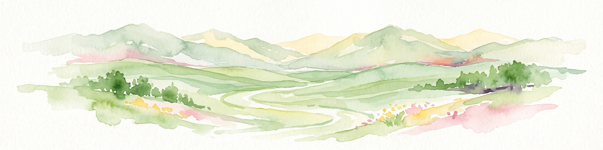
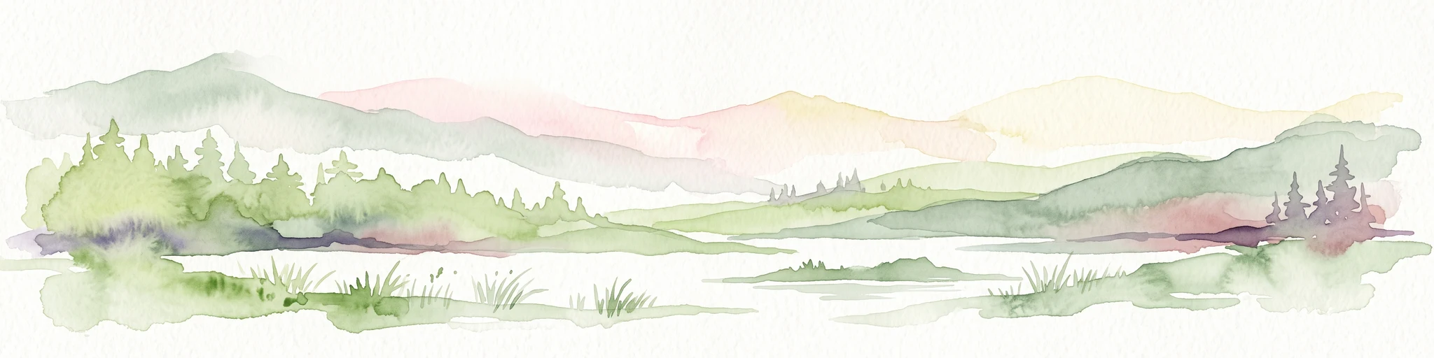
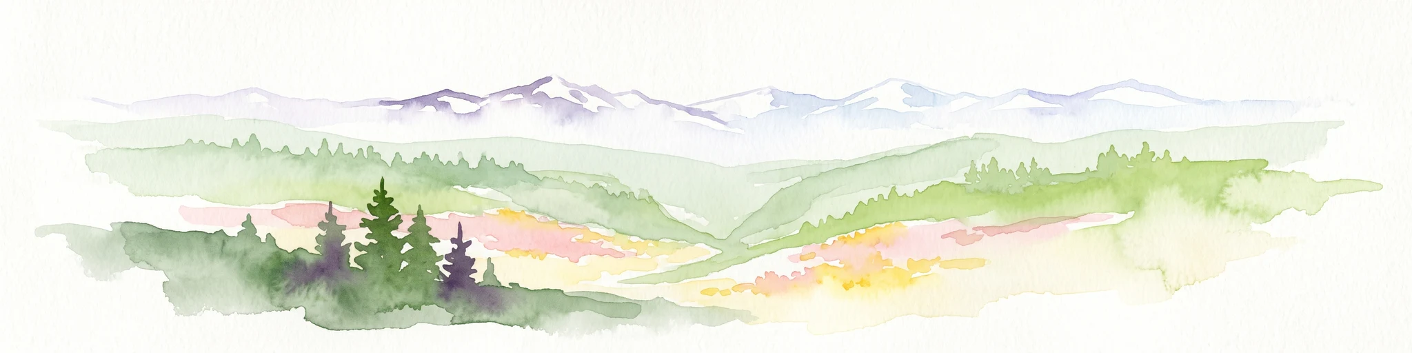
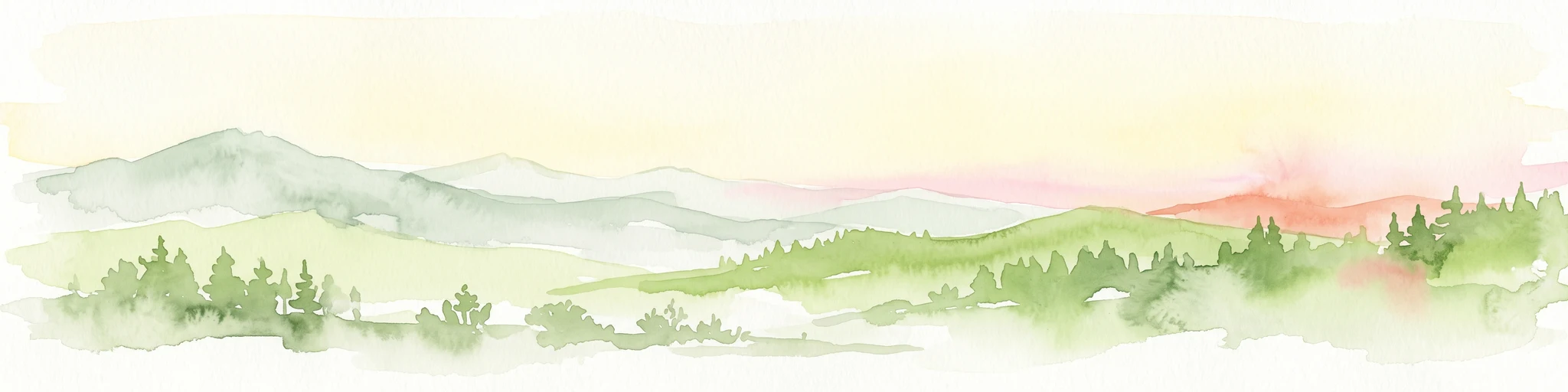
A vast eastern Oregon forest of mountains, high desert, and old growth anchored in the Blue Mountains.
Malheur National Forest
Malheur National Forest is a large federally managed forest in eastern Oregon, covering more than 1.4 million acres across the Blue Mountains and the surrounding high desert country. It spans parts of Grant, Harney, Baker, and Malheur counties and is administered by the United States Forest Service. The forest is notable for the dramatic ecological transition it captures, ranging from sagebrush and juniper at lower elevations to pine, fir, and other coniferous forests higher on its mountain slopes.
The landscape is defined by the Strawberry Mountains, which run east to west through the center of the forest, with elevations rising from about 4,000 feet to the 9,038-foot summit of Strawberry Mountain. U.S. Route 395 passes north to south through the forest, while U.S. Route 26 crosses east to west. Beyond its scenic and recreational value, the forest is recognized for its significant old growth habitat, large designated wilderness areas, and complex multi-use management that includes timber, grazing, mining, and outdoor recreation.
Malheur National Forest also holds a singular claim in the natural world: it is home to what is considered the largest known organism in the Northern Hemisphere, an enormous individual of the fungus Armillaria ostoyae that spreads across approximately 2,200 acres on a ridgeline west of Clear Creek. This combination of ecological diversity, mountain scenery, wilderness protection, and biological superlatives gives the forest a distinctive identity among Oregon's national forests.