
Why Mangroves National Park stands out
Mangroves National Park is best known for its extensive mangrove forests that form a unique ecological system native to the Atlantic coast of Central Africa. The park serves as a critical refuge for the endangered African manatee, a species facing significant population pressures throughout its range. As the Democratic Republic of the Congo's sole marine park, it represents the country's primary coastal conservation asset and provides important ecological services through its mangrove wetlands, including coastal protection, sediment stabilization, and carbon sequestration. The distinctive West African mangrove composition, featuring species such as Rhizophora and Avicennia, sets this ecosystem apart from the more familiar Indo-Pacific mangrove systems.
Mangroves National Park history and protected-area timeline
Mangroves National Park was established in 1992 as the Democratic Republic of the Congo's first and only marine protected area. The designation reflected growing recognition of the ecological importance of the country's coastal wetlands and the need to conserve the unique mangrove ecosystems found at the Congo River mouth. In 1996, the park received additional international recognition through its designation as a Ramsar Wetland of International Importance, joining a global network of protected wetlands that are recognized for their ecological significance. Management responsibility falls to the Institut Congolais pour la Conservation de la Nature, the Congolese institute for nature conservation, which oversees protection and management activities within the park boundaries. The establishment of this marine park represented a significant step in the Democratic Republic of the Congo's efforts to conserve its coastal and marine biodiversity, though the park remains the country's smallest protected area despite its international importance.
Mangroves National Park landscape and geographic character
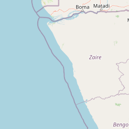
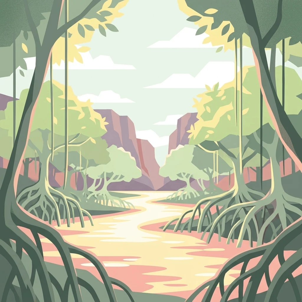
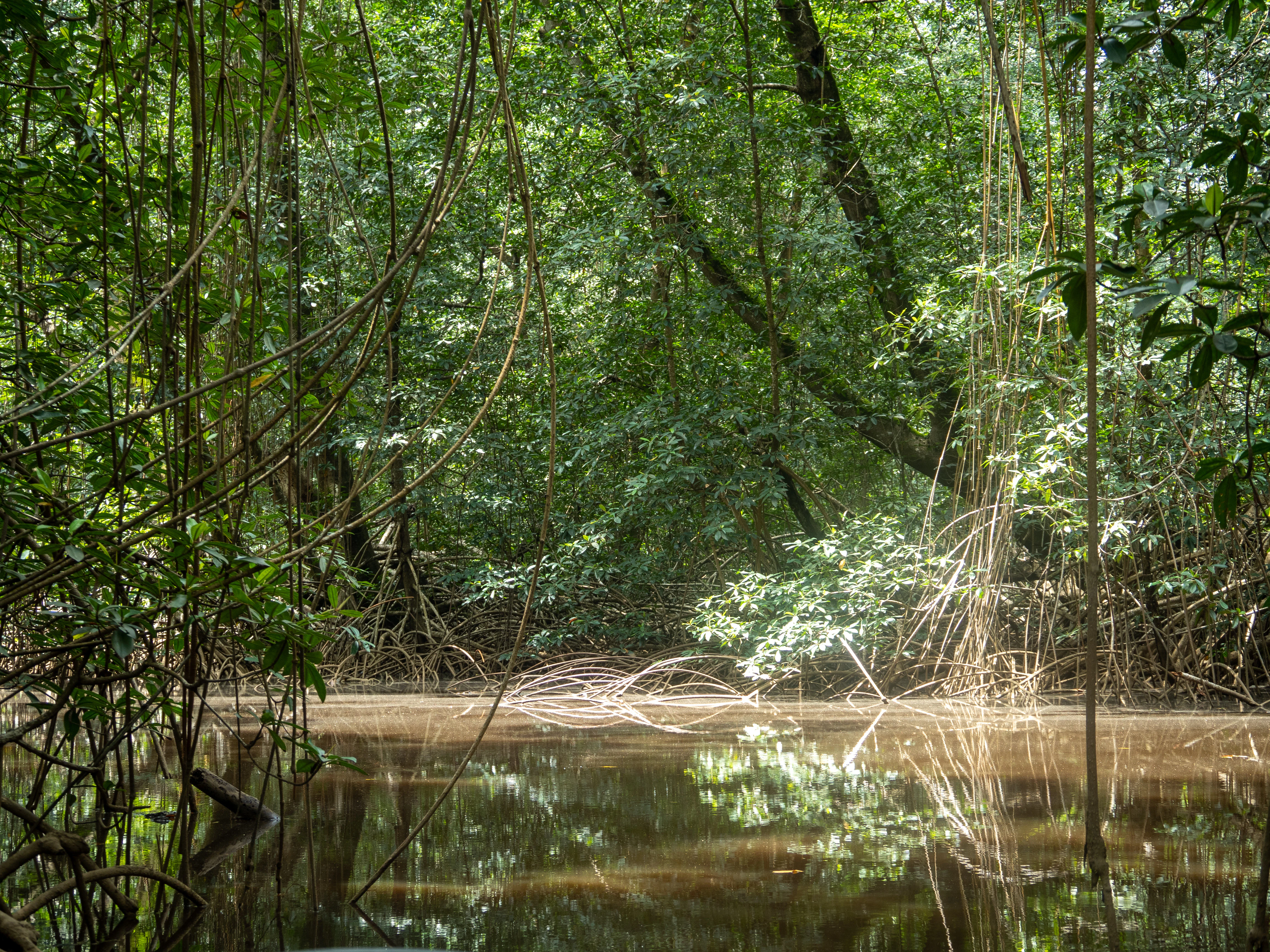
The park encompasses a dynamic coastal landscape where the massive Congo River delta meets the Atlantic Ocean, creating extensive intertidal zones ideal for mangrove development. The terrain is predominantly flat and low-lying, characterized by tidal channels, mudflats, and brackish water lagoons that crisscross the mangrove forest. The mangrove trees themselves form dense, almost impenetrable walls along the water's edge, with their distinctive prop roots visible above the water surface during high tide. Behind the mangrove fringe, the forest extends inland, while open water channels provide navigation routes through the system. The landscape experiences twice-daily tidal inundation, with water levels fluctuating to expose mudflats and submerge the forest floor in regular cycles that shape the entire ecosystem. This estuarine environment produces a complex mosaic of marine, brackish, and freshwater habitats within a relatively compact area.
Mangroves National Park ecosystems, habitats, and plant life
The mangrove ecosystem of Mangroves National Park represents one of the most ecologically distinctive wetland types in Africa. The forest is dominated by mangrove species including Rhizophora racemosa and Rhizophora mangle, which employ their characteristic above-ground prop roots for stability in soft mud and to access oxygen during tidal immersion. The park also features Avicennia nitida and Avicennia germinans, species that utilize specialized root systems to filter salt from water, and Laguncularia racemosa, adding to the forest's species diversity. The understory and surrounding areas support additional plant species such as Hibiscus tiliaceus and the fern Acrostichum aureum, creating a layered vegetation structure. This complex habitat creates optimal conditions for brackish water species and serves as a highly productive ecosystem that supports intricate food webs ranging from microorganisms to large mammals.
Mangroves National Park wildlife and species highlights
Mangroves National Park provides crucial habitat for several notable wildlife species, most prominently the African manatee, an endangered marine mammal that relies on the park's protected waters. These gentle herbivores graze on submerged aquatic vegetation within the mangroves and adjacent channels, finding shelter among the tangled root systems. Hippopotamuses also inhabit the area, utilizing both the water channels and adjacent land areas for foraging and resting. The park supports crocodile populations that navigate the tidal channels and rest on mud banks, while various snake species move through the forest canopy and water edges. Southern reedbuck occupy the more terrestrial portions of the ecosystem, and Cape bushbuck may also be present in the forest understory. This assemblage of species demonstrates the park's role as a biodiversity hotspot where terrestrial and aquatic ecosystems converge.
Mangroves National Park conservation status and protection priorities
The conservation significance of Mangroves National Park extends far beyond its modest 768 square kilometer area. The park provides essential protection for the endangered African manatee, a species that has experienced significant population declines throughout much of its range due to hunting, habitat loss, and accidental capture in fishing gear. The mangrove forests themselves represent important conservation targets, serving as carbon sinks that sequester significant amounts of atmospheric carbon in their sediments and biomass. These ecosystems also provide critical protection services for the coastline, buffering storm surges and preventing erosion that could otherwise impact coastal communities. The Ramsar designation underscores the site's international importance as a wetland ecosystem, while the park's status as the Democratic Republic of the Congo's only marine protected area makes it a cornerstone of the nation's coastal conservation strategy.
Mangroves National Park cultural meaning and human context
The park's location at the mouth of the Congo River places it within a region of historical significance for Central African coastal communities. The estuary has long served as a zone of interaction between inland river communities and coastal populations, with traditional fishing activities forming an important part of local livelihoods. While the source material does not provide detailed information on indigenous or local communities within the park boundaries, the broader region has been inhabited by various ethnic groups who have maintained connections to the river and its resources for generations. The marine protected area designation aims to balance conservation objectives with sustainable use of natural resources, recognizing that local communities depend on the ecosystem for their wellbeing.
Top sights and standout views in Mangroves National Park
Mangroves National Park stands as a unique conservation achievement in Central Africa as the only marine park in the Democratic Republic of the Congo. Its mangrove forests represent a distinct biogeographic type not found in South Asia, with species compositions that are typical to the Atlantic coast of Africa. The park provides critical refuge for the endangered African manatee, one of Africa's least-known large mammals, while also supporting hippopotamus, crocodile, and diverse bird populations. The Ramsar designation highlights the international importance of this wetland ecosystem, which delivers significant ecological services including coastal protection and carbon sequestration. Visitors to the park can experience one of Africa's most unusual coastal environments, where massive riverine inputs create productive brackish waters that sustain rich biodiversity within a labyrinthine mangrove landscape.
Best time to visit Mangroves National Park
The equatorial location of Mangroves National Park means that visiting conditions remain relatively consistent throughout the year, with a hot and humid tropical climate dominating the region. The dry season, typically from May to September, often provides easier access to certain areas as water levels recede and wildlife becomes more concentrated around remaining water sources. However, the mangrove environment remains accessible year-round, and the wet season brings the ecosystem to life with increased fish activity and bird presence. The park's tidal cycles, rather than seasonal changes, most significantly influence the visitor experience, as twice-daily inundation transforms the landscape dramatically between high and low tide. Travelers interested in observing manatees may find the dry season particularly rewarding, as reduced water volumes concentrate these marine mammals in deeper channels where they can be more readily observed.