
Mori Atlas logo
National parkМещёрский национальный парк

Explore the complex mosaic of glacial lakes, peat mires, and boreal forest corridors

Мещёрский национальный парк: A Detailed Geographic Atlas of Protected Lowland Landscapes

(Meshchyorsky National Park)

Мещёрский национальный парк safeguards an expansive territory within the Meshchera Lowland, defined by its flat, water-rich terrain and extensive forest cover. This protected area integrates a critical Ramsar-recognized wetland system, including the meandering Pra River floodplain and the Klepikovskiye Lakes. The landscape preserves a classic Russian taiga-wetland mosaic, offering a structured look at one of the most ecologically significant lowland basins through its interconnected watercourses and natural forest remnants.

national parkwetlandsforestspeat bogsriver floodplainlake systems
A flat vector-style illustration of a river winding through a valley flanked by coniferous forests and cliffs, with distant mountains and a pale sun in the sky.

Мещёрский национальный парк

National park

Park overview

Structured park overview, official facts, and landscape profile for Meshchyorsky National Park

Meshchyorsky National Park park facts, protected area profile, and essential visitor context

Review the core facts for Meshchyorsky National Park, including designation, size, terrain, visitor scale, habitats, and operating context in one park-focused overview.

About Meshchyorsky National Park

Meshchyorsky National Park lies in the northern reaches of Ryazan Oblast and represents the protected core of the Meshchera Lowland, one of the largest natural lowland regions in European Russia. The park's territory combines several distinct landscape elements: the lake systems of the Klepikovskiye Lakes, surrounding low-lying swamps, the valley of the Pra River, and a broader network of shallow lakes and raised bogs on the watersheds between the Pra and the Solotcha. Together these features form a continuous mosaic of swamps, floodplains, coniferous and mixed forests, and small agricultural settlements.

The park was established with the explicit mission of safeguarding the natural and historical-cultural complexes of the Meshchera Lowland. Its core conservation objective focuses on the protection of wetland habitats and the traditional landscapes shaped by centuries of low-intensity human activity. Despite its protected status, approximately one-third of the park's area remains inhabited and economically active, with villages, hay meadows, pastures, and small farms characteristic of the region. Local communities continue traditional practices such as cattle grazing, berry picking, and mushroom foraging, giving the park a lived-in rural character that contrasts with more strictly reserved wilderness areas.

In addition to its ecological importance, Meshchyorsky is recognized for its cultural depth. The territory includes places connected to Konstantin Paustovsky and Sergei Yesenin, two of the most influential figures of twentieth-century Russian literature, as well as sites linked to the painter Abram Arkhipov. Several historic churches and over a hundred archaeological sites add further layers of heritage. As one of the most visited outdoor recreation areas in central Russia, the park plays an important role in regional environmental education and tourism while continuing to serve as a refuge for large mammals, waterbirds, and intact forest ecosystems.

Quick facts and research context for Meshchyorsky National Park

Located in the Klepikovsky and Ryazansky districts of Ryazan Oblast, Meshchyorsky National Park covers roughly 105,000 hectares of the Meshchera Lowland. It was established on 9 April 1992 and falls under IUCN Management Category II for national parks. The park has been administered since April 2016 by the federal institution National Park Meshchera and operates under the authority of Russia's Ministry of Natural Resources and Ecology. The nearest town is Spas-Klepiki, which has historical and literary significance. The park includes lake systems, raised bogs, river floodplains, meadows, forests, and inhabited villages, combining wilderness protection with traditional rural land use.

Protection and recognition

Examine documented terrestrial conservation frameworks and official recognition data for Мещёрский национальный парк.

Мещёрский национальный парк Protection Status and Territorial Designation

Terrestrial protection status records for Мещёрский национальный парк outline formal conservation boundaries and management scope. Official designation details clarify administrative frameworks without assuming external international recognition sources.

Protection details

Protection scope
Terrestrial
Transboundary protection
No
Park context

Deeper park guide and search-rich context for Meshchyorsky National Park

Meshchyorsky National Park history, landscape, wildlife, and travel context

Explore Meshchyorsky National Park through its history, landscape character, ecosystems, wildlife, conservation priorities, cultural context, and seasonal travel timing in a structured park guide built for atlas discovery and search intent.

Why Meshchyorsky National Park stands out

Meshchyorsky is best known for its vast forested lowlands threaded by rivers and dotted with lakes, and for the Ramsar-recognized floodplain of the Pra River. It represents one of the most extensive and ecologically intact examples of the Meshchera Lowland, a region historically celebrated in Russian literature and painting. The park is also associated with the cultural legacy of writers such as Konstantin Paustovsky and Sergei Yesenin, who drew inspiration from the same forests, lakes, and villages that the park now protects.
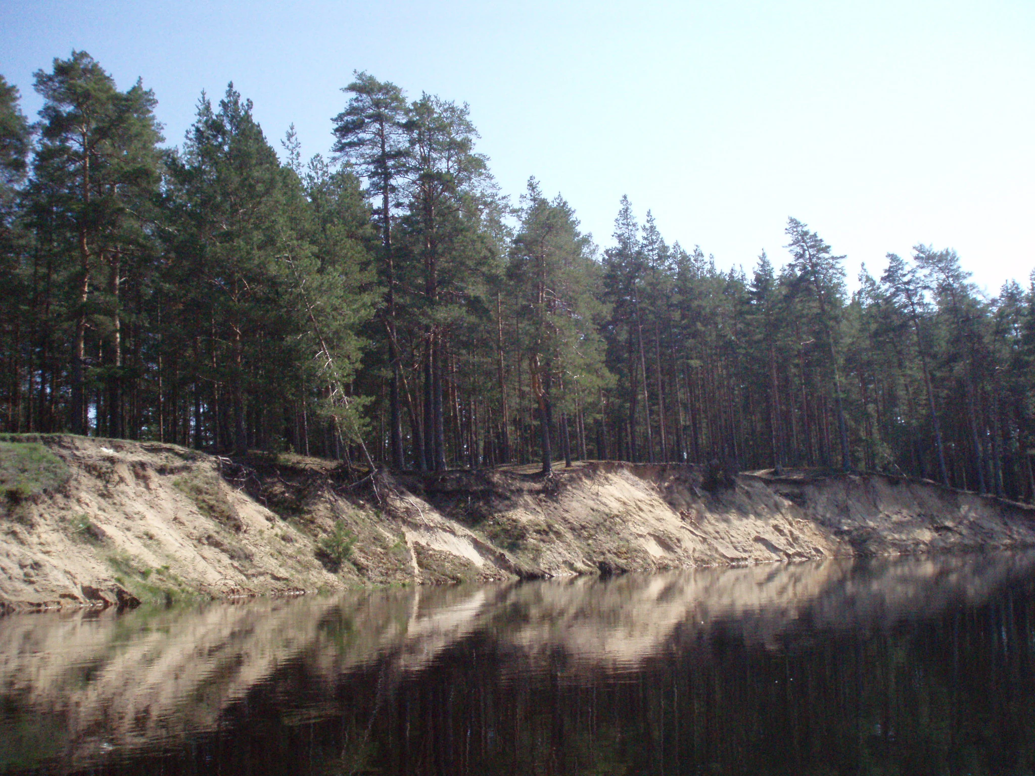
A calm river flows past a steep sandy riverbank lined with tall pine trees.
The Pra River flowing past a sandy bank and pine forest in Meshchorsky National Park.

Meshchyorsky National Park history and protected-area timeline

Meshchyorsky National Park was formally established on 9 April 1992 as one of Russia's new generation of protected areas created during the post-Soviet period. Its founding was driven by the need to conserve the natural and cultural heritage of the Meshchera Lowland, which until that point had been subjected to intensive forestry, peat extraction, and land drainage.

For centuries before protection, the Meshchera Lowland supported traditional rural economies defined by fishing, hunting, berry and mushroom gathering, small-scale farming, and selective forestry. The early twentieth century saw the beginning of large-scale timber harvesting, peat mining, and melioration schemes that significantly altered hydrology and habitat patterns across the region. The creation of the national park marked a shift toward integrated conservation that recognized both the ecological and cultural value of the Meshchera landscape.

Since its establishment, the park has gone through several management transitions. In April 2016 it was placed under the administration of a dedicated federal institution, Meshchera National Park, reflecting an effort to strengthen long-term management capacity. Today the park balances its founding protection mandate with research, environmental education, sustainable recreation, and the preservation of historic and archaeological heritage scattered across its territory.

Meshchyorsky National Park landscape and geographic character

The landscape of Meshchyorsky National Park is defined by the gentle topography of the Meshchera Lowland, where glacial, fluvioglacial, and paludal processes have produced an exceptionally flat and waterlogged terrain. Elevations vary only modestly across the park, and much of the area sits on sandy, peaty, or sandy-loam soils that retain moisture and support extensive wetlands.

Forests dominate much of the visible scenery, with coniferous and mixed woodlands covering vast tracts of the protected area. Pine is particularly characteristic on the well-drained uplands, while swampy depressions support birch, alder, and other moisture-loving species. Open spaces include raised bogs, transitional mires, sedge meadows, and the floodplain meadows along the Pra River, where water levels rise and fall with the seasons. The Klepikovskiye Lakes form a major hydrological feature, and the network of shallow lakes and peatlands on the watershed between the Pra and the Solotcha reinforces the region's lake-and-mire character.

Rivers and streams meander slowly through the terrain, with the Pra being the most important watercourse. Its floodplain is internationally recognized for its ecological value, providing habitat for waterbirds and serving as a key natural regulator of the local hydrology. Throughout the park, the combination of forest, water, and mire creates a quiet, often atmospheric landscape of dark woodlands, open marshy clearings, and reflective lake surfaces, characteristic of the classic Russian taiga-wetland mosaic.

Meshchyorsky National Park ecosystems, habitats, and plant life

The natural character of Meshchyorsky is built around the interplay between extensive forests and one of the richest wetland systems in central European Russia. The park's ecological value comes largely from the persistence of this forest-wetland mosaic, which has resisted complete conversion despite a history of logging, peat extraction, and melioration.

While pine forests form a recognizable backbone of the territory, the park also supports mixed and broadleaf forests, marshy birch and alder stands, and fragmented areas of meadow and pasture. Hydrology is the key organizing factor: the combination of lowland topography, abundant precipitation, and glacial deposits produces conditions favorable for peat formation, raised bogs, and seasonal flooding. The Pra River floodplain supports a sequence of aquatic, semi-aquatic, and terrestrial habitats that transition into one another along rivers, lakes, and mires.

This habitat diversity underpins a broader biodiversity pattern that includes forest mammals, wetland birdlife, and freshwater fish populations. The mosaic of dry forest, wet forest, open bog, and open water creates the ecological complexity that makes the Meshchera Lowland a priority area for conservation in central Russia.

Meshchyorsky National Park wildlife and species highlights

Wildlife in Meshchyorsky reflects the diversity of its forest and wetland habitats. The forests host typical taiga and mixed-forest mammals, while the wetlands and waterways add a distinct aquatic and semi-aquatic faunal component. Large ungulates and semi-aquatic mammals are among the most visible and ecologically important species.

The park supports approximately fifty mammal species, including moose, wild boar, Eurasian beaver, mountain hare, red squirrel, stoat, weasel, American mink, and pine marten. These species occupy complementary niches across the forest, riparian, and wetland zones, illustrating how the park's habitat mosaic sustains a balanced mammalian community.

Birdlife is particularly rich, with more than 200 recorded species using the park's wetlands, forests, and meadows during breeding, migration, or wintering periods. The Pra floodplain and surrounding lake systems are especially important for waterbirds. Freshwater ecosystems support roughly thirty fish species, including pike, common bream, tench, ide, blue bream, and crucian carp, sustaining both ecological function and recreational fishing. Together these faunal groups underline the park's standing as a significant refuge for central Russian wildlife.

Meshchyorsky National Park conservation status and protection priorities

Meshchyorsky National Park plays a critical role in the conservation of the Meshchera Lowland, a region of high ecological importance in central European Russia. By protecting a continuous block of forest, wetland, and river habitat, the park safeguards biodiversity, hydrological function, and ecosystem resilience across a landscape that has historically faced pressure from forestry, peat extraction, and land drainage.

The park's inclusion of the Pra River floodplain in the Ramsar List of Wetlands of International Importance underscores its conservation significance beyond Russia. This designation recognizes the global value of the park's wetland habitats for waterbirds, migratory species, and the maintenance of natural hydrological processes. The park's protected status provides a framework for managing these wetlands in ways that maintain ecological function.

In addition to protecting natural systems, the park serves as a platform for scientific research and long-term ecological monitoring. Its management mandate explicitly targets the conservation of species and genetic diversity, together with environmental education and international cooperation. By retaining traditional rural land use across part of its territory, Meshchyorsky also supports the conservation of cultural landscapes shaped by centuries of human interaction with the Meshchera environment.

Meshchyorsky National Park cultural meaning and human context

The Meshchera Lowland has long held a distinctive place in Russian cultural imagination, and the national park preserves several of the landscapes and places that shaped this legacy. The park includes sites connected to Konstantin Paustovsky, whose lyrical depictions of the Meshchera forests and waters helped define the region's literary image, and to Sergei Yesenin, who studied in the nearby town of Spas-Klepiki and drew early inspiration from the surrounding countryside. The painter Abram Arkhipov is also linked to the territory through the village of Yegorovo.

Architectural heritage is preserved within the park through several historic churches listed as protected monuments, including the Obnovlensky Church in Yershovo, the Pokrovsky Church in Seleznyevo, the Church of the Assumption in Struzhany, and the Transfiguration Church in Spas-Klepiki. Beyond built heritage, the territory contains over a hundred archaeological sites documenting ancient human presence, including prehistoric settlements such as Chernaya Gora, Vladychinskaya, Shagara, Sovka, Tyukov Gorodok, and the Deulino burial ground.

The continued presence of villages, meadows, and traditional land uses within the park adds a living cultural dimension to the protected landscape, integrating human history with natural heritage.

Top sights and standout views in Meshchyorsky National Park

Meshchyorsky's strongest qualities lie in the combination of Ramsar-recognized wetland habitat, the intact forest-wetland mosaic of the Meshchera Lowland, and a layered cultural heritage connected to major figures of Russian literature and art. The Pra River floodplain, the Klepikovskiye Lakes, and the surrounding raised bogs create an exceptionally continuous natural system, while the historic churches, archaeological sites, and writer-connected villages add depth and distinctiveness. The park's balance of ecological protection, active traditional landscapes, and recreational accessibility makes it one of the most representative examples of lowland conservation in central Russia.

Best time to visit Meshchyorsky National Park

The park's climate follows the seasonal rhythms of central European Russia, with cold, snowy winters and warm, relatively humid summers. Late spring through early autumn is generally the most rewarding period for landscape and wildlife observation, when lakes and rivers are fully open, forests are green, and the wetland systems are biologically active. Summer brings the warmest conditions for hiking and water-based recreation, while autumn offers berry and mushroom foraging and striking forest color. Winter transforms the park into a quiet, snow-covered landscape suited to cross-country travel, though cold temperatures and snow cover limit accessibility in more remote areas.
Monthly climate preview

Long-term representative point measurements for monthly temperature and precipitation patterns

Мещёрский национальный парк Climate Normals and Annual Temperature Rhythm

The measured point data for Мещёрский национальный парк records average monthly temperatures ranging from negative extremes to positive maximums alongside steady daily precipitation values. Examining the complete twelve-month climatology profile reveals the full span of annual weather variations across the protected terrain.
Annual mean4 °C
-11 °C20 °C
Jan-11°
Feb-10°
Mar-4°
Apr
May13°
Jun17°
Jul20°
Aug18°
Sep12°
Oct
Nov-3°
Dec-8°
Warmest month
July

19.7 °C

Coolest month
January

-10.8 °C

Wettest month
June

2.7 mm/day

Driest month
March

1.3 mm/day

Park location guide

Geography guide, regional context, and park location map for Meshchyorsky National Park

Meshchyorsky National Park park geography, regions, and map view in Russia

Understand where Meshchyorsky National Park sits in Russia through a broader geographic reading of the surrounding landscape, nearby location context, and its mapped position within the national park landscape.

How Meshchyorsky National Park fits into Russia

Russia is a transcontinental nation spanning eleven time zones, bordered by fourteen countries. It is the world's largest country by area, covering 17,098,246 km². Moscow is the capital and largest city, while Saint Petersburg is the second-largest and a major cultural centre.

Wider geography shaping Meshchyorsky National Park in Russia

Russia spans Eastern Europe and North Asia, covering 17,098,246 km². It shares land borders with fourteen countries, more than any other nation, and spans eleven time zones. The landscape includes vast plains, mountain ranges such as the Urals and Caucasus, and extensive coastlines along the Arctic Ocean, Pacific Ocean, Baltic Sea, Black Sea, and Caspian Sea.

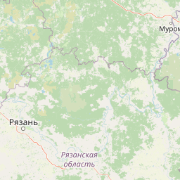
Map view of Meshchyorsky National Park

Use this park location map to pinpoint Meshchyorsky National Park in Russia, understand its exact geographic position, and read its mapped placement within the surrounding landscape more clearly.

Pigeon | © OpenStreetMap contributors

Location context for Meshchyorsky National Park

Ямало-Ненецкий автономный округ

Visual exploration of forest lowlands, river floodplains, and wetland habitats.

Мещёрский национальный парк: Landscapes, Scenery, and Protected Area Photos

Visual documentation captures the flat terrain, boreal woodlands, and Ramsar-recognized peat mires defining the protected environment. Photographic records reveal the atmospheric scenery of slow-moving waterways, shallow lakes, and diverse lowland habitats.

A calm river flows past a steep sandy riverbank lined with tall pine trees.

Park atlas

Compare surrounding regional landscapes and connected wetland reserves

Explore Protected Areas and Parks Near Мещёрский национальный парк

Browse nearby national parks and protected areas to compare the wider regional geography surrounding Мещёрский национальный парк. Continuing into adjacent lowland reserves reveals broader patterns of boreal forest and wetland conservation across the surrounding region.
National parkRyazan Oblast
About 0 km away#1 closest

Southeast

Meshchyorsky National Park: Ryazan Oblast Protected Landscape Exploration

National park geography and mapped terrain.

Investigate Meshchyorsky National Park, a key protected area situated in Ryazan Oblast, Russia. This page provides detailed atlas-level context, focusing on the park's geographic identity, its mapped boundaries, and its role as a national park within the regional landscape. Explore the natural terrain and discover the protected land's place in Central Russia's geography through structured data and mapping.

Area
66 km²
Established
1992
IUCN
II
Relief
Lowland
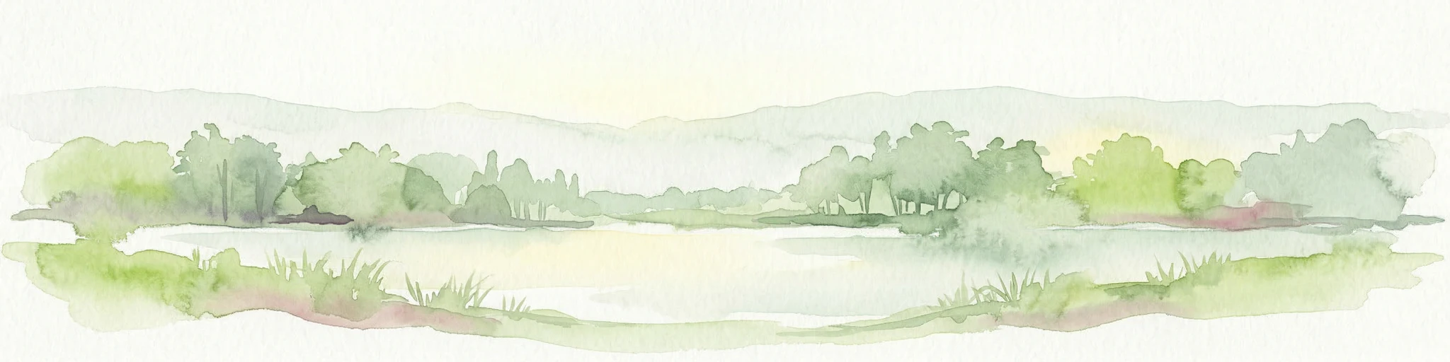
A horizontal watercolor painting depicting a gentle river flowing through a forested landscape with soft rolling hills in the background.
National parkVladimir Oblast
About 48 km away#2 closest

North

Мещёра National Park: A Study of Glacial Lowland Geography and Protected Forest Landscapes

A diverse protected mosaic in Vladimir Oblast, Russia.

Focusing on the flat, sandy expanses of the Meshchera Plain, this national park showcases a unique transition zone between taiga and nemoral forests. The area is characterized by its slow meandering rivers, numerous glacial lakes, and extensive peat bog systems that provide a benchmark for regional ecological preservation.

Area
2,239 km²
Established
1992
IUCN
II
Relief
Lowland
Watercolor painting of a lake surrounded by trees and distant hills
National parkVladimir Oblast
About 49 km away#3 closest

North

Meshchyora National Park: A Premier Wetland Protected Area in Vladimir Oblast

Explore its mapped boundaries and intricate floodplain geography.

Meshchyora National Park is a key protected landscape in central Russia, renowned for its expansive wetland ecosystems across the Meshchera Lowlands of Vladimir Oblast. Covering nearly 119,000 hectares, the park preserves a unique glacial terrain of peatlands, lakes, and meandering rivers, supporting remarkable biodiversity. Its role as a vital component of the Oka River basin and its conservation focus on restoring degraded peatlands make it a significant site for atlas-based geographic discovery and understanding protected area landscapes.

Area
1,189 km²
Established
1992
IUCN
II
Relief
Lowland
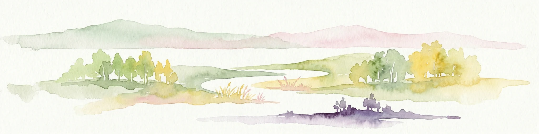
Watercolor illustration of a winding river, trees, and hills in the background
National parkMoscow Oblast
About 160 km away#4 closest

Northwest

Losiny Ostrov National Park: Mapping the Boundaries of a Unique Urban Wilderness

Protected forest and wetland geography in Moscow Oblast.

Spanning over 116 square kilometers, Losiny Ostrov National Park represents a significant conservation effort as Europe's largest urban national park. Its geography encompasses dense mixed forests, the Upper Yauza Swamps, and a convergence of regional watersheds, providing a rare study of wilderness persistence within a densely populated metropolitan environment.

Area
116 km²
Established
1983
IUCN
II
Relief
Lowland
Watercolor illustration of a soft forest landscape with green trees, rolling hills, and a winding path in muted green and yellow tones.
National parkMoscow
About 160 km away#5 closest

Northwest

Losiny Ostrov National Park: Geography and Protected Landscapes in Moscow, Russia

Mapped forest terrain, wetland systems, and urban conservation zones.

Spanning from the Moscow city fringe into the surrounding landscape, Losiny Ostrov National Park protects a vital mixture of peat bogs, river headwaters, and dense mixed forests. This historic terrain offers a deep look at how large-scale conservation survives within a metropolitan environment, hosting free-roaming moose and diverse mammals while preserving ancient woodland corridors.

Area
128.81 km²
Established
1983
IUCN
II
Relief
Lowland
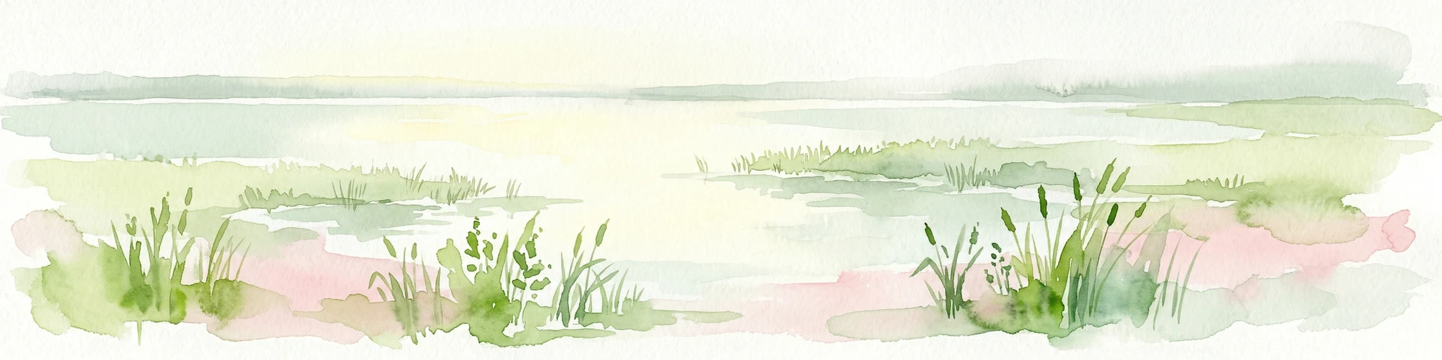
A horizontal watercolor painting depicting a calm lake with grassy banks and soft rolling hills in the background.
National parkЯмало-Ненецкий автономный округ
About 202 km away#6 closest

Northwest

Плещеево озеро National Park: Glacial Lake Geography and Protected Area Atlas

Mapped terrain, forest mosaic, and Upper Volga basin protected landscapes.

Плещеево озеро National Park centers on a significant glacial lake, framed by an ecological mosaic of boreal and broadleaf forests, extensive peat bogs, and coastal wetlands. This protected area within the Upper Volga basin offers a look at a layered natural environment where diverse bird populations, endemic fish, and historical landmarks meet across the East European Plain.

Area
237.9 km²
Established
1988
IUCN
II
Relief
Lowland
Watercolor painting showing a lake with grasses in the foreground and distant shoreline
National parkYaroslavl Oblast
About 203 km away#7 closest

Northwest

Pleshcheyevo Ozero National Park: National Park Mapping and Regional Protected Area Atlas

Discover its protected landscape and geographic setting.

Pleshcheyevo Ozero National Park is a key protected area within the geography of Yaroslavl Oblast, Russia. This page offers detailed insights into the park's specific landscape character, its mapped boundaries, and its significance as a national park. It serves as an entry point for understanding the protected lands of the region and exploring its natural terrain within a broader atlas context.

Area
238 km²
Established
1997
IUCN
II
Relief
Lowland
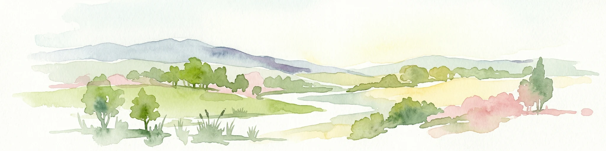
Watercolor painting showing a river flowing through a valley with green fields, scattered trees, and mountain ranges in the background
National parkRussia
About 276 km away#8 closest

West

Ugra National Park: Explore Russia's Protected Landscape and National Park Atlas

Mapped boundaries and regional geographic context.

Ugra National Park represents a crucial protected area within Russia, offering detailed geographic context for atlas-based exploration. This entry details the park's specific identity as a national park, highlighting its mapped boundaries and landscape character. Engage with the structured data to understand Ugra National Park's position within Russia's geography and its significance as a protected natural landscape, facilitating comprehensive map exploration.

Area
986,245 km²
Established
1997
IUCN
II
Relief
Lowland

Common questions about visiting, size, designation, and location context for Meshchyorsky National Park

Meshchyorsky National Park FAQs for park facts, access, geography, and protected area context

Find quick answers about Meshchyorsky National Park, including protected-area facts, park geography, trail and visitor context, and how the park fits into its surrounding country and regional landscape.
MoriAtlas Explorer

Continue Your Protected Areas Search Across the Global Atlas

Deepen your exploration by continuing the structured search for national parks and protected areas worldwide. Utilize the comprehensive filtering capabilities to compare different conservation landscapes and refine your understanding of global park geography. Discover more about the distribution and characteristics of protected natural areas.

Global natural geography