Mori Atlas logo
National parkUgra National Park

Discover the mapped boundaries and geographic context of this Russian national park.

Ugra National Park: Russia's Protected Landscape & National Park Atlas Entry

(National Park Ugra)

Ugra National Park stands as a significant protected natural area within Russia, offering a distinct geographic identity for atlas exploration. This dedicated national park entry provides detailed insights into its mapped boundaries and the surrounding regional landscape context. Delve into the specifics of Ugra National Park to understand its role as a protected landscape and its place within Russia's conservation geography, empowering structured discovery and map-based research.

River valley ecosystemsUNESCO biosphere reserveCentral RussiaWetland protectionKaluga OblastRiparian habitats

Ugra National Park

National park

Park overview

Structured park overview, official facts, and landscape profile for Ugra National Park

Ugra National Park park facts, protected area profile, and essential visitor context
Review the core facts for Ugra National Park, including designation, size, terrain, visitor scale, habitats, and operating context in one park-focused overview.

About Ugra National Park

Ugra National Park occupies a significant position in central Russia's environmental protection framework, established specifically to preserve representative examples of the region's typical landscapes. The park's territory spans the floodplains and adjacent territories of the Ugra River system, creating a protected corridor that allows wildlife to move through an otherwise heavily cultivated agricultural landscape. The seven cluster areas that comprise the park are distributed across multiple districts of Kaluga Oblast, with the northern section following the Ugra River from the Smolensk Oblast border downstream to Kurovskoye, and the southern section protecting the Zhizdra River valley to its confluence. This configuration creates a network of protected areas that follow the river corridors, preserving the ecological connectivity essential for wildlife movement and ecosystem function. The park's designation as a UNESCO biosphere reserve in 2002 reflects international recognition of its conservation value and its potential to serve as a model for integrated conservation and sustainable development.

Quick facts and research context for Ugra National Park

Ugra National Park is located in Kaluga Oblast, roughly 180 kilometers southwest of Moscow, with its headquarters in the city of Kaluga. The park encompasses the valleys of the Ugra River and its tributary, the Zhizdra River, creating a network of riparian ecosystems, marshes, and forested floodplains. Established in 1997, it protects one of the few remaining relatively intact river valley landscapes in central Russia. The park is organized into three main areas: a northern section along the Ugra River, a southern section along the Zhizdra River, and a smaller Vorotynsk area surrounding the village of the same name. The park's location in the historical region of Kaluga places it within a landscape that has been shaped by centuries of human settlement while retaining significant natural value.

Park context

Deeper park guide and search-rich context for Ugra National Park

Ugra National Park history, landscape, wildlife, and travel context
Explore Ugra National Park through its history, landscape character, ecosystems, wildlife, conservation priorities, cultural context, and seasonal travel timing in a structured park guide built for atlas discovery and search intent.

Why Ugra National Park stands out

Ugra National Park is best known for its protection of pristine river valley ecosystems in central Russia, representing one of the few remaining intact floodplain landscapes in this heavily agricultural region. The park protects critical habitat for the endangered Russian desman, a small semi-aquatic mammal that inhabits the park's lakes and wetlands. Its rivers, particularly the Ugra and Zhizdra, are renowned for kayaking and paddling activities, offering visitors the chance to experience the river landscapes that have defined this region for centuries. The park also contains Nikola-Lenivets, Europe's largest art park, which brings contemporary artistic installation into the natural environment.

Ugra National Park history and protected-area timeline

Ugra National Park was established on February 10, 1997, with the specific purpose of protecting the typical landscapes of Central Russia. The creation of the park responded to growing concerns about the loss of natural river valley ecosystems in a region that had experienced extensive agricultural development and infrastructure expansion throughout the 20th century. The park was formed by consolidating several existing protected areas and adding new territory to create a coherent protected landscape along the Ugra River corridor. In 2002, just five years after its establishment, the park received additional recognition through designation as a UNESCO biosphere reserve under the Man and the Biosphere Programme. This international designation acknowledged both the ecological significance of the protected area and the park's potential to demonstrate sustainable relationship between human communities and natural environments. The park headquarters have remained in Kaluga, the largest city in the oblast and a historical center of the region.

Ugra National Park landscape and geographic character

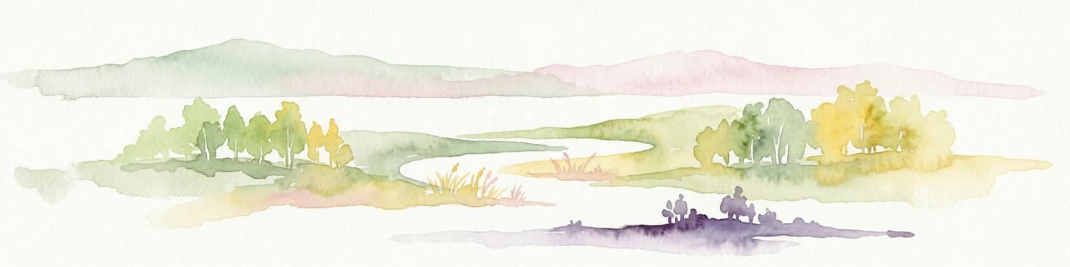
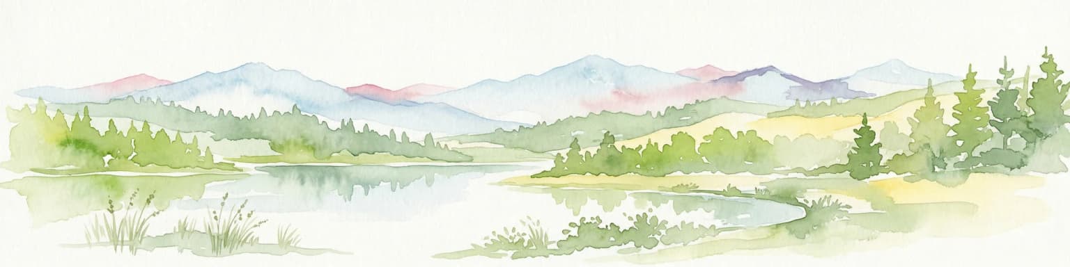
The landscape of Ugra National Park is defined by its river valley setting, with the Ugra River and its tributary the Zhizdra River creating a complex system of channels, floodplains, and wetlands. The terrain consists primarily of low-lying floodplain areas interspersed with slightly elevated sandy ridges that support forest vegetation. The valley floors feature marshy meadows, oxbow lakes, and marshland complexes that store water and create diverse habitat conditions. In the northern section, the Ugra River flows through a landscape that transitions from the more upland conditions of Smolensk Oblast into the flatter, more open valley terrain characteristic of central Kaluga Oblast. The southern portion follows the Zhizdra River, which joins the Ugra at the southern edge of the protected area. The Vorotynsk area, though smallest in extent, encompasses the area around the historical village of Vorotynsk, where the landscape includes both natural river environments and areas influenced by long-term human settlement. The overall character is one of relatively flat terrain with subtle elevation changes, typical of the Central Russian Plain.

Ugra National Park ecosystems, habitats, and plant life

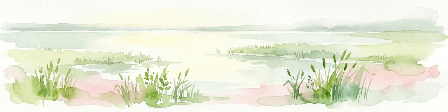
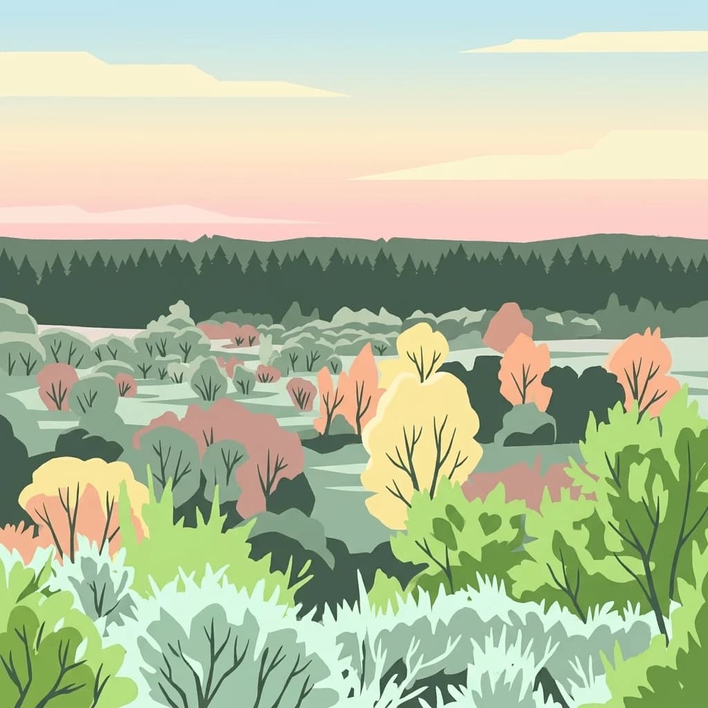
The nature of Ugra National Park centers on its riparian and wetland ecosystems, which represent some of the most ecologically productive habitats in central Russia. The river valleys provide crucial ecological corridors connecting protected areas and allowing species to move through landscapes dominated by agriculture. The park's wetlands, including lakes, marshes, and floodplain meadows, support distinctive plant communities adapted to periodic flooding and variable water conditions. The forested areas within the park, though not extensive, provide important habitat for forest-dwelling species and contribute to the overall diversity of the protected area. The combination of river channels, wetlands, meadows, and small forest patches creates a mosaic of habitats that supports the park's biodiversity. These ecosystems are particularly important in the context of the surrounding agricultural landscape, where similar natural habitats have been largely lost to farming and development.

Ugra National Park wildlife and species highlights

Ugra National Park supports populations of several mammal species characteristic of central Russian ecosystems. The park provides habitat for moose, wild boar, and roe deer, which occupy the forested and meadow areas within the protected territory. Semi-aquatic mammals including the Eurasian beaver and muskrat are present along the river corridors and in wetland areas, where they exploit the aquatic resources and riparian vegetation. The Russian desman, a small insect-eating mammal resembling a cross between a mole and a shrew, represents a species of particular conservation concern. This endangered animal inhabits the lakes and slow-moving water bodies within the park, making the protected area crucial for maintaining viable populations of this species. The riparian and wetland habitats also support diverse communities of birds, fish, and invertebrates that depend on the aquatic and waterside environments.

Ugra National Park conservation status and protection priorities

Ugra National Park plays a vital conservation role in central Russia by protecting representative examples of the region's river valley ecosystems. The park's designation as a UNESCO biosphere reserve in 2002 confirmed its international significance and integrated it into a global network of protected areas dedicated to conservation and sustainable development. The protected status helps preserve ecological corridors that allow wildlife to move through an agricultural landscape where natural habitats have been extensively fragmented. The park's protection of habitat for the endangered Russian desman is particularly significant, as this species has experienced significant range decline across its historical distribution. By maintaining the wetland environments that this species requires, the park contributes to conservation of a species that is endemic to a relatively limited geographic area. The park also serves an educational function, providing opportunities for research and public understanding of central Russian ecosystems.

Ugra National Park cultural meaning and human context

Ugra National Park is situated in a region of significant historical importance in Russian history. The park contains the area associated with the Great Stand on the Ugra River, a pivotal military event that occurred in 1480 when the armies of the Grand Duchy of Moscow faced those of the Golden Horde along the river. This confrontation marked a turning point in Russian history, effectively ending Mongol-Tatar dominance over Russian territories and establishing the path for Moscow's emergence as the center of a unified Russian state. The park also encompasses the historical town of Vorotynsk, which retains traces of medieval settlement. Additionally, the nearby Optina Monastery, one of Russia's most famous religious centers, lies in proximity to the park and attracts visitors interested in Russian spiritual heritage. The presence of Nikola-Lenivets art park within the park boundaries represents an unusual integration of contemporary cultural activity within a protected natural area, demonstrating how protected landscapes can serve multiple purposes.

Top sights and standout views in Ugra National Park

Ugra National Park stands out for its combination of natural river valley protection and cultural heritage within a single protected area. The park offers paddling opportunities on its scenic rivers, allowing visitors to experience the landscapes that have shaped regional identity for centuries. The presence of the Russian desman, an endangered species found in the park's lakes, makes it significant for species conservation in central Russia. The historical dimension of the park, encompassing the site of the 1480 Great Stand on the Ugra River, connects environmental protection to Russian national history. The inclusion of Nikola-Lenivets, Europe's largest art park, within the national park boundaries creates a unique blend of conservation and contemporary cultural expression.

Best time to visit Ugra National Park

The best time to visit Ugra National Park depends on the intended activities, though the summer months of June through August offer the most accessible conditions for paddling and wildlife observation. Spring flooding in May and early June creates optimal conditions for kayaking as water levels rise and the river channels open up, though this is also a period of higher water and more challenging conditions for less experienced paddlers. Summer brings warmer temperatures and more stable river conditions, making it ideal for extended paddling trips and enjoying the riparian landscapes. The shoulder seasons of spring and autumn offer different experiences, with spring bringing bird migrations and the renewal of vegetation, while autumn displays the colors of the region's deciduous forests. Winter visits are possible but limited by snow and ice conditions typical of central Russian winters.

Park location guide

Geography guide, regional context, and park location map for Ugra National Park

Ugra National Park park geography, regions, and map view in Russia
Understand where Ugra National Park sits in Russia through a broader geographic reading of the surrounding landscape, nearby location context, and its mapped position within the national park landscape.

How Ugra National Park fits into Russia

Russia is a transcontinental nation spanning eleven time zones, bordered by fourteen countries. It is the world's largest country by area, covering 17,098,246 km². Moscow is the capital and largest city, while Saint Petersburg is the second-largest and a major cultural centre.

Wider geography shaping Ugra National Park in Russia

Russia spans Eastern Europe and North Asia, covering 17,098,246 km². It shares land borders with fourteen countries, more than any other nation, and spans eleven time zones. The landscape includes vast plains, mountain ranges such as the Urals and Caucasus, and extensive coastlines along the Arctic Ocean, Pacific Ocean, Baltic Sea, Black Sea, and Caspian Sea.

Map view of Ugra National Park

Use this park location map to pinpoint Ugra National Park in Russia, understand its exact geographic position, and read its mapped placement within the surrounding landscape more clearly.

Pigeon | © OpenStreetMap contributors

Location context for Ugra National Park

Kaluga Oblast
Park atlas

Explore the diverse protected landscapes surrounding Ugra National Park, tracing connected river valleys and regional conservation efforts.

Discover National Parks and Protected Areas Near Ugra National Park in Central Russia
After exploring Ugra National Park's unique river valley ecosystems, compare its features with other protected areas across central Russia, including similar wetland habitats and forested ridges of the Central Russian Plain. This curated atlas view allows you to trace the geographic spread of conservation efforts, understand regional park diversity, and identify adjacent protected landscapes for deeper discovery.
National parkOryol Oblast

Orlovskoye Polesye National Park: National Park Geographic Discovery

Explore protected area maps and regional landscape context.

Delve into the protected landscape of Orlovskoye Polesye National Park, situated within Russia's Oryol Oblast. This page provides detailed geographic information, focusing on its mapped boundaries and its role as a key national park. Understand the unique regional context and how this protected area contributes to the atlas of Russia's natural landscapes. It's an essential resource for exploring the specific geography and mapped terrain of this important conservation area.

Area
777.45 km²
Established
1994
Relief
Lowland
Climate
Temperate
Watercolor illustration of a winding river, trees, and hills in the background
National parkMoscow Oblast

Losiny Ostrov National Park: National Park Protected Landscape in Moscow Oblast

Mapped boundaries and regional geographic context for this protected area.

Uncover the geographic specifics of Losiny Ostrov National Park, a national park situated within the Moscow Oblast. This entry provides detailed insights into the park's protected area designation, its mapped natural landscape, and its position within the regional geography. It serves as a focused point for understanding the protected land's specific features and its atlas value for exploring Russia's diverse natural territories.

Area
116 km²
Established
1983
IUCN
II
Relief
Lowland
Watercolor illustration of a lake surrounded by forests and mountains under a light sky
National parkTver Oblast

Zavidovo National Park: Exploring its Protected Landscape and Geographic Identity

Mapped protected areas within Tver Oblast's regional geography.

Delve into the specifics of Zavidovo National Park, a designated national park situated within the Tver Oblast. This detailed page provides a geographic lens, allowing for exploration of its protected landscape, mapped boundaries, and its regional context. Understand how this protected area contributes to the larger atlas of Russia's natural environments and discover its unique geographic features through structured, searchable data.

Area
1,329 km²
Established
2015
IUCN
II
Relief
Lowland
National parkRyazan Oblast

Meshchyorsky National Park: Ryazan Oblast Protected Landscape Exploration

National park geography and mapped terrain.

Investigate Meshchyorsky National Park, a key protected area situated in Ryazan Oblast, Russia. This page provides detailed atlas-level context, focusing on the park's geographic identity, its mapped boundaries, and its role as a national park within the regional landscape. Explore the natural terrain and discover the protected land's place in Central Russia's geography through structured data and mapping.

Area
66 km²
Established
1992
IUCN
II
Relief
Lowland
National parkSumy Oblast

Desna, Stara Huta National Nature Park: Key Protected Area and Regional Geographic Context in Ukraine

Explore mapped landscapes of river floodplains and boreal forests.

This page details Desna, Stara Huta National Nature Park, a significant protected area within Ukraine's Sumy Oblast. It showcases a landscape defined by the Desna River floodplain, unique wetlands, and the southernmost extension of the Bryansk Forest. Users can explore its geographic identity, protected status, and its role in the atlas of Eastern European natural regions, focusing on landscape diversity and mapped boundaries.

Area
162 km²
Established
1999
IUCN
II
Relief
Lowland
Watercolor painting of a lake surrounded by trees and distant hills
National parkVladimir Oblast

Meshchyora National Park: A Premier Wetland Protected Area in Vladimir Oblast

Explore its mapped boundaries and intricate floodplain geography.

Meshchyora National Park is a key protected landscape in central Russia, renowned for its expansive wetland ecosystems across the Meshchera Lowlands of Vladimir Oblast. Covering nearly 119,000 hectares, the park preserves a unique glacial terrain of peatlands, lakes, and meandering rivers, supporting remarkable biodiversity. Its role as a vital component of the Oka River basin and its conservation focus on restoring degraded peatlands make it a significant site for atlas-based geographic discovery and understanding protected area landscapes.

Area
1,189 km²
Established
1992
IUCN
II
Relief
Lowland
National parkYaroslavl Oblast

Pleshcheyevo Ozero National Park: National Park Mapping and Regional Protected Area Atlas

Discover its protected landscape and geographic setting.

Pleshcheyevo Ozero National Park is a key protected area within the geography of Yaroslavl Oblast, Russia. This page offers detailed insights into the park's specific landscape character, its mapped boundaries, and its significance as a national park. It serves as an entry point for understanding the protected lands of the region and exploring its natural terrain within a broader atlas context.

Area
238 km²
Established
1997
IUCN
II
Relief
Lowland
National parkSmolensk Oblast

Smolenskoye Poozerye National Park: Protected Landscape and Regional Geography

Explore mapped boundaries and geographic context within Smolensk Oblast.

Smolenskoye Poozerye National Park is a protected natural area offering valuable insights into the geography of Smolensk Oblast. As a national park, its mapped boundaries define a significant landscape within Central Russia. This resource provides detailed information for atlas-based exploration, allowing users to understand the park's protected status and its place within the regional natural terrain.

Area
1,462 km²
Established
1992
IUCN
II
Visitors
250K annual

Common questions about visiting, size, designation, and location context for Ugra National Park

Ugra National Park FAQs for park facts, access, geography, and protected area context
Find quick answers about Ugra National Park, including protected-area facts, park geography, trail and visitor context, and how the park fits into its surrounding country and regional landscape.
MoriAtlas Explorer

Continue Your Protected Areas Search Across the Global Atlas

Deepen your exploration by continuing the structured search for national parks and protected areas worldwide. Utilize the comprehensive filtering capabilities to compare different conservation landscapes and refine your understanding of global park geography. Discover more about the distribution and characteristics of protected natural areas.

Global natural geography