Mori Atlas logo
National parkZavidovo National Park

Uncover the mapped boundaries and regional context of this national park.

Zavidovo National Park: A Protected Landscape within Tver Oblast's Geography

(National Park Zavidovo (Национальный парк «Завидово»))

Zavidovo National Park stands as a significant protected landscape within the Tver Oblast region of Russia. This page offers an atlas-driven exploration of its geographic setting, providing users with insights into its mapped boundaries and its place within the broader regional geography. Understand the protected area's identity and its contribution to the natural landscape context of Central Russia through structured data and focused geographic details.

Mixed forestsWetlandsPeat bogsRiver floodplainsGame reservesAccessible from Moscow

Zavidovo National Park

National park

Park overview

Structured park overview, official facts, and landscape profile for Zavidovo National Park

Zavidovo National Park park facts, protected area profile, and essential visitor context
Review the core facts for Zavidovo National Park, including designation, size, terrain, visitor scale, habitats, and operating context in one park-focused overview.

About Zavidovo National Park

Zavidovo National Park occupies a distinctive position among Russia's protected areas as an accessible wilderness corridor in one of the country's most densely populated regions. The park's location on the East European Plain places it within the broader Volga River basin, with the Volga itself passing within 10 kilometers of the park's northeastern corner. The landscape evolved under glacial processes, leaving behind the flat moraine terrain characteristic of the Upper Volga Lowlands. Two major river systems, the Shosha and Lama Rivers, traverse the park and have created extensive floodplain zones that support diverse wetland habitats. The forest matrix is dominated by birch in various stages of succession, with older stands of spruce, pine, and aspen providing structural diversity. This mosaic of forest, wetland, and open ground supports remarkable biodiversity considering the region's long history of human occupation and agricultural use. The park's zoning structure reflects this human presence, with protected natural areas, agricultural sectors, recreational and hunting zones, and village settlements all integrated within the park boundaries.

Quick facts and research context for Zavidovo National Park

Zavidovo National Park covers approximately 1,329 square kilometers (132,858 hectares) of forests and wetlands in central Russia. The park sits on the East European Plain at elevations ranging from 119 to 183 meters above sea level. Located just 100 kilometers from Moscow, it ranks among the most accessible protected areas for the Russian capital. The park lies within the Sarmatic mixed forests ecoregion and experiences a humid continental climate with warm summers. Over 80% of the park's area remains tree-covered, with birch dominating the forest character. The permanent population within park boundaries exceeds 16,000 residents, with summer populations doubling as dacha owners and recreational visitors arrive.

Park context

Deeper park guide and search-rich context for Zavidovo National Park

Zavidovo National Park history, landscape, wildlife, and travel context
Explore Zavidovo National Park through its history, landscape character, ecosystems, wildlife, conservation priorities, cultural context, and seasonal travel timing in a structured park guide built for atlas discovery and search intent.

Why Zavidovo National Park stands out

Zavidovo National Park is best known as a historic hunting reserve that served government officials, including Vladimir Lenin in the 1920s, and later operated as a military hunting reservation through much of the 20th century. The park is distinguished by its accessibility from Moscow, making it a heavily used recreational area for the capital's population. Its complex mix of protected zones interspersed with agricultural land, settlements, and vacation dachas creates a unique cultural landscape. The park supports substantial populations of game species including elk, wild boar, roe deer, moose, and diverse bird populations such as black grouse and hazel grouse.

A river with calm water reflecting trees and sky, surrounded by dense green forest under a blue sky with scattered clouds
Calm waters of the Lama River reflecting forested shores under a partly cloudy sky

Zavidovo National Park history and protected-area timeline

The area now protected as Zavidovo National Park has a long history as an elite hunting ground, dating back to the early 20th century when it served as a favored hunting location for government officials. Vladimir Lenin utilized the area for hunting excursions during the 1920s following the revolution. Throughout much of the 20th century, the territory functioned as a military hunting reservation, maintaining its exclusive recreational character while gradually coming under environmental protection considerations. Starting in 1994, the area began receiving stronger environmental protections, though recreational use continued. The formal establishment as a national park occurred on February 8, 2015, with national park status officially conferred in 2019. This transition reflected Russia's growing emphasis on protected area management and ecological conservation. The park continues to balance conservation objectives with its historic recreational functions and the presence of permanent communities within its boundaries.

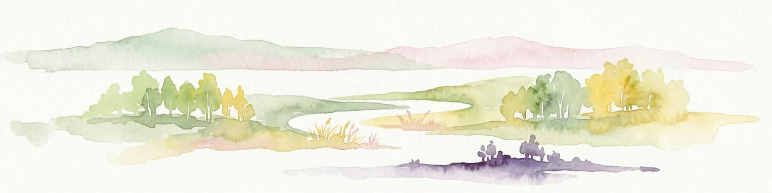
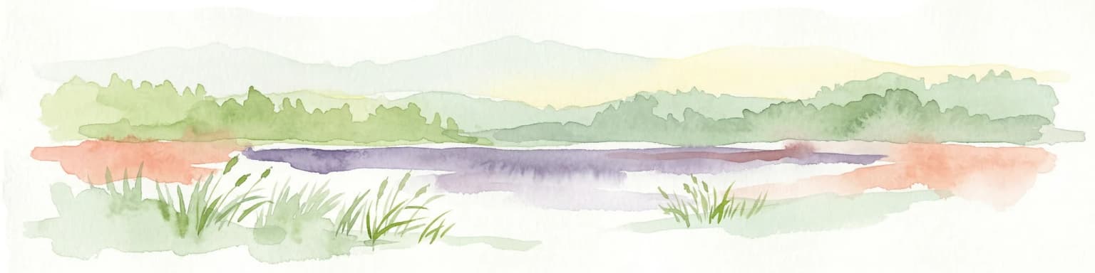
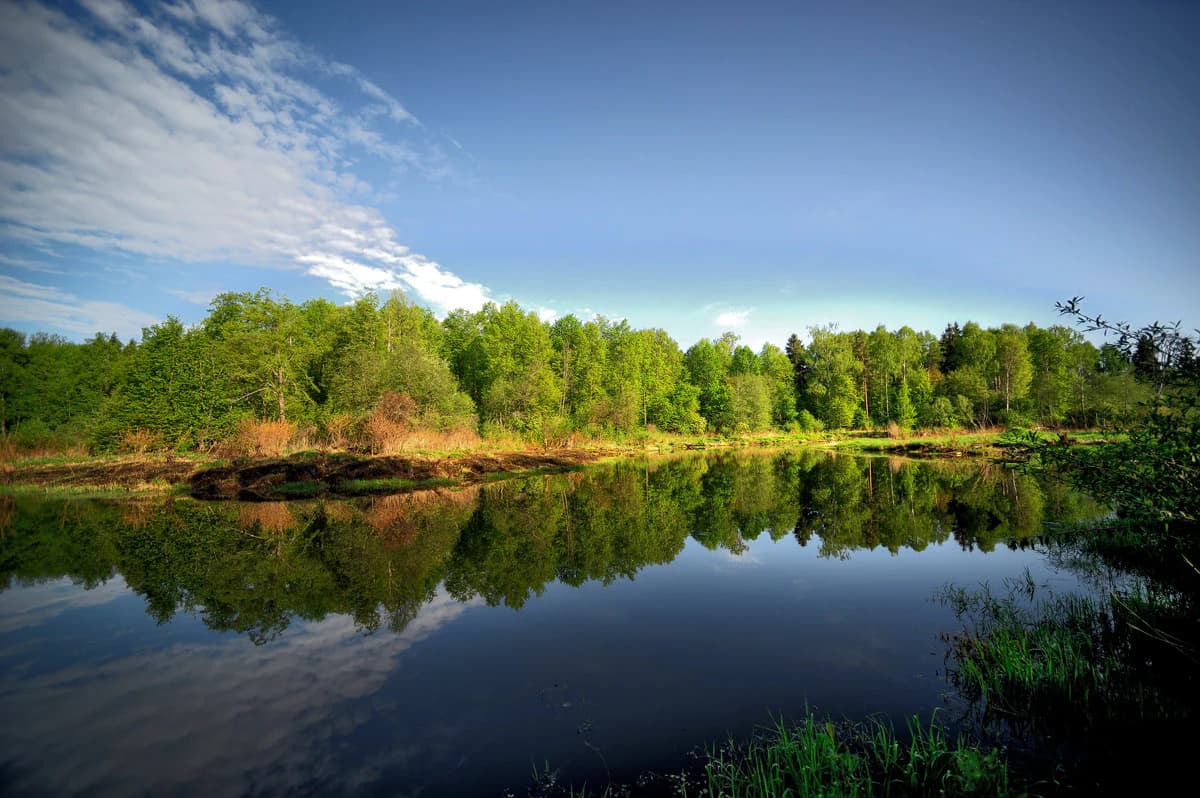
Zavidovo National Park landscape and geographic character

The physical landscape of Zavidovo National Park is characterized by flat to gently rolling moraine terrain typical of the East European Plain. The park lies at low elevations ranging from 119 meters to 183 meters above sea level, with the distance from southeast to northeast corners spanning approximately 60 kilometers. The terrain's glacial origin is evident in the widespread deposits of till and the limited local relief. The Shosha River and Lama River are the park's two principal watercourses, both having excavated valleys that now contain wide floodplain zones. These river corridors, together with numerous smaller streams, drain the landscape and contribute to the extensive wetland systems. Peat bogs and marshes are common in lower-lying areas, while lakes dot the landscape in glacial depressions. The overall topographic homogeneity is softened by the forest cover and the human landscape of villages, agricultural fields, and dacha settlements that punctuate the natural terrain.

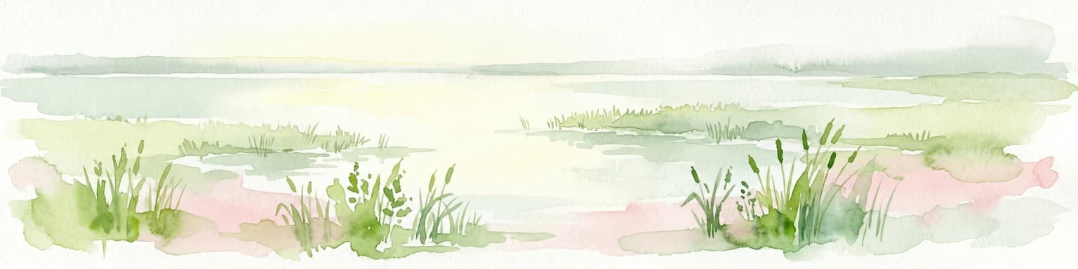
Zavidovo National Park ecosystems, habitats, and plant life

Zavidovo National Park lies within the Sarmatic mixed forests ecoregion, a transition zone between boreal coniferous forests to the north and temperate deciduous forests to the south. The forest cover, while extensive at approximately 80% of the park area, is fragmented by meadows, wetlands, and human settlements. Birch dominates the forest character, with extensive young to middle-aged birch stands representing successional stages following disturbance. Scattered among the birch are older remnants of spruce, pine, and aspen that provide ecological continuity and habitat structure. The remaining land use breakdown includes 12% agricultural cropland, 4% water bodies and wetlands, 2% grassland, and 2% built-up settlement area. The climate classification is humid continental with warm summers (Dfb in the Köppen system), featuring large seasonal temperature variations, a growing season of 140 to 150 days from May through September, and average annual precipitation of 577 millimeters.

Zavidovo National Park wildlife and species highlights

The wildlife community of Zavidovo National Park reflects both the park's historic function as a game reserve and its ecological position in the mixed forest zone. Large mammals present include elk (moose), wild boar, roe deer, and moose, representing the park's heritage as a hunting ground. Smaller mammals include hare, wolf, and fox. The bird fauna is particularly diverse, with 196 species recorded within the park. Game birds include black grouse, hazel grouse, and gray partridge, species that have traditionally attracted hunting interest. Beyond game species, the park supports a broader community that includes at least 36 species of mammals and 33 species of fish. The combination of forest, wetland, and agricultural edge habitats creates diverse niches that support this considerable species diversity despite the landscape's long history of human modification and the substantial permanent and seasonal human population.

Zavidovo National Park conservation status and protection priorities

Zavidovo National Park represents an important conservation entity in a region where natural habitats have been heavily modified by centuries of agriculture and settlement. The park's protected status (IUCN Category II) provides formal recognition of its ecological value and establishes a framework for habitat management and species protection. The transition from a purely recreational hunting reserve to a national park with conservation mandates reflects evolving Russian environmental policy. The park conducts research into productive hunting methods, balancing traditional uses with ecological sustainability. Despite the heavy recreational load from Moscow's population and the extensive dacha development within park boundaries, the protected zone system maintains core natural areas. The conservation challenge at Zavidovo lies in balancing accessibility and recreation with ecological integrity, a common tension in peri-urban protected areas.

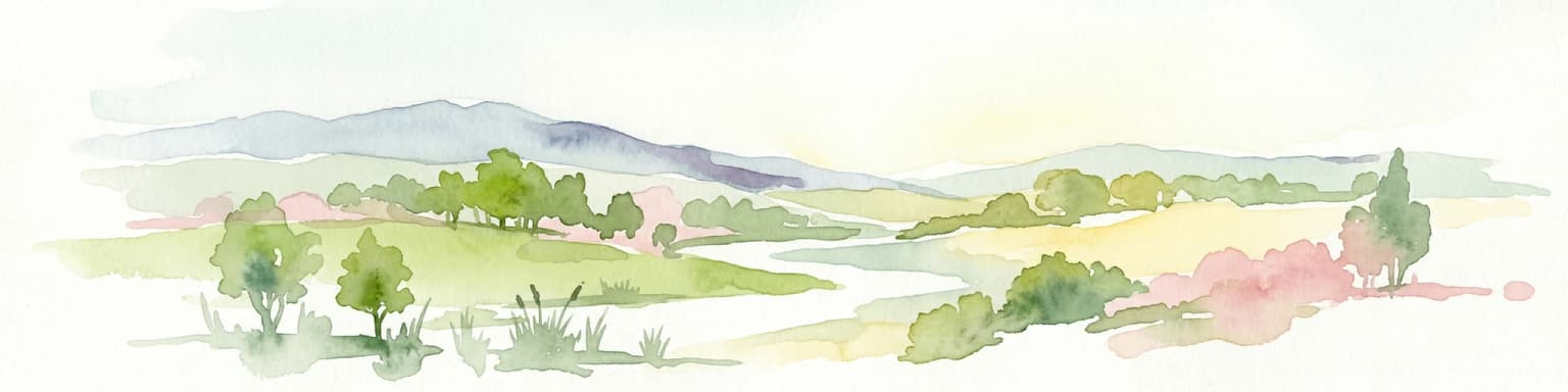
Zavidovo National Park cultural meaning and human context

The cultural landscape of Zavidovo reflects its dual identity as both a protected natural area and a long-established recreational and hunting ground for elite users. The park's history as a government hunting reserve, with documented use by Vladimir Lenin in the 1920s, gives it a distinctive historical character uncommon among Russian protected areas. The subsequent military hunting reservation period further cemented this tradition of controlled access and recreational use. Today, the park contains numerous settlements with a permanent population of approximately 16,700 residents, a figure that doubles during summer months when dacha owners arrive. Over 14,000 people hold allocated gardening plots and small dacha properties within the park, creating an intimate integration of human settlement and protected landscape. This cultural fabric adds complexity to park management but also represents a model of human-nature coexistence in the Moscow region.

Top sights and standout views in Zavidovo National Park

Zavidovo National Park offers a unique combination of accessibility, history, and ecological diversity in the Moscow region. The park's proximity to Moscow, approximately 100 kilometers by highway or rail, makes it one of the capital's most reachable wilderness areas. The historic hunting heritage, including Lenin's use of the area in the 1920s, provides cultural context uncommon in typical protected areas. The diverse wildlife, particularly populations of elk, wild boar, and game birds like black grouse, supports both conservation and traditional hunting interests. The landscape of mixed forests, wetlands, river floodplains, and peat bogs represents the characteristic ecology of the Upper Volga Lowlands. The park's complex zoning, incorporating protected areas, agricultural land, recreational zones, and permanent settlements, illustrates how human communities can integrate with conservation objectives.

Best time to visit Zavidovo National Park

The optimal time to experience Zavidovo National Park depends on visitor interests and tolerance for crowds. Summer months bring the heaviest recreational load as Muscovites escape to their dachas and the permanent population doubles, but this season offers warm temperatures, full forest foliage, and the longest daylight for exploration. The May-to-September growing season provides the most biologically active period for nature observation. Autumn offers colorful forest displays as birch and aspen foliage turns, and reduced crowds compared to peak summer. Winter provides a quiet, snow-covered landscape but requires preparation for cold conditions. The permit system for non-residents means advance planning is advisable regardless of season. Spring brings waterfowl migration through the wetland areas but may feature muddy conditions.

Park location guide

Geography guide, regional context, and park location map for Zavidovo National Park

Zavidovo National Park park geography, regions, and map view in Russia
Understand where Zavidovo National Park sits in Russia through a broader geographic reading of the surrounding landscape, nearby location context, and its mapped position within the national park landscape.

How Zavidovo National Park fits into Russia

Russia is a transcontinental nation spanning eleven time zones, bordered by fourteen countries. It is the world's largest country by area, covering 17,098,246 km². Moscow is the capital and largest city, while Saint Petersburg is the second-largest and a major cultural centre.

Wider geography shaping Zavidovo National Park in Russia

Russia spans Eastern Europe and North Asia, covering 17,098,246 km². It shares land borders with fourteen countries, more than any other nation, and spans eleven time zones. The landscape includes vast plains, mountain ranges such as the Urals and Caucasus, and extensive coastlines along the Arctic Ocean, Pacific Ocean, Baltic Sea, Black Sea, and Caspian Sea.

Map view of Zavidovo National Park

Use this park location map to pinpoint Zavidovo National Park in Russia, understand its exact geographic position, and read its mapped placement within the surrounding landscape more clearly.

Pigeon | © OpenStreetMap contributors

Location context for Zavidovo National Park

Moscow OblastTver Oblast

Visually explore Zavidovo's protected landscape, tracing its diverse habitats, moraine terrain, and natural scenery.

Zavidovo National Park Photos: Visual Exploration of Russian Wetlands, Forests, and River Floodplains
Explore Zavidovo National Park images, visualizing its expansive mixed forests, critical wetland ecosystems, and the broad river floodplains of the Shosha and Lama. These images offer essential context, clarifying the park's accessible wilderness character and its vital ecological corridor function in the Moscow and Tver Oblast region.

A river with calm water reflecting trees and sky, surrounded by dense green forest under a blue sky with scattered clouds

Park atlas

Compare surrounding protected landscapes and national parks across the Upper Volga Lowlands region

Explore Other Protected Areas and National Parks Near Zavidovo National Park, Tracing Regional Geography
Explore national parks and protected areas near Zavidovo National Park, comparing the diverse mixed forests, wetlands, and river floodplains that define the surrounding Moscow and Tver Oblasts. This geographic view offers broader context for tracing protected landscapes, revealing similar ecological corridors and historic conservation efforts across the East European Plain.
Watercolor illustration of a winding river, trees, and hills in the background
National parkMoscow Oblast

Losiny Ostrov National Park: National Park Protected Landscape in Moscow Oblast

Mapped boundaries and regional geographic context for this protected area.

Uncover the geographic specifics of Losiny Ostrov National Park, a national park situated within the Moscow Oblast. This entry provides detailed insights into the park's protected area designation, its mapped natural landscape, and its position within the regional geography. It serves as a focused point for understanding the protected land's specific features and its atlas value for exploring Russia's diverse natural territories.

Area
116 km²
Established
1983
IUCN
II
Relief
Lowland
National parkYaroslavl Oblast

Pleshcheyevo Ozero National Park: National Park Mapping and Regional Protected Area Atlas

Discover its protected landscape and geographic setting.

Pleshcheyevo Ozero National Park is a key protected area within the geography of Yaroslavl Oblast, Russia. This page offers detailed insights into the park's specific landscape character, its mapped boundaries, and its significance as a national park. It serves as an entry point for understanding the protected lands of the region and exploring its natural terrain within a broader atlas context.

Area
238 km²
Established
1997
IUCN
II
Relief
Lowland
National park

Ugra National Park: Explore Russia's Protected Landscape and National Park Atlas

Mapped boundaries and regional geographic context.

Ugra National Park represents a crucial protected area within Russia, offering detailed geographic context for atlas-based exploration. This entry details the park's specific identity as a national park, highlighting its mapped boundaries and landscape character. Engage with the structured data to understand Ugra National Park's position within Russia's geography and its significance as a protected natural landscape, facilitating comprehensive map exploration.

Area
986,245 km²
Established
1997
IUCN
II
Relief
Lowland
Watercolor illustration of a lake with green forests and grassy foreground, distant hills, and purple and orange water tones
National park

Valdaysky National Park: Russia's National Park & Protected Landscape Explorer

Discover its mapped boundaries and regional geographic context.

Valdaysky National Park represents a significant protected area, offering a focused entry into Russia's natural landscapes. This MoriAtlas page provides detailed geographic context, mapping the park's protected boundaries and its position within the regional terrain. Use this resource to understand the park's unique landscape identity and its value for structured atlas-based discovery of protected lands.

Area
1,585 km²
Established
1990
IUCN
II
Visitors
60K annual
Watercolor painting of a lake surrounded by trees and distant hills
National parkVladimir Oblast

Meshchyora National Park: A Premier Wetland Protected Area in Vladimir Oblast

Explore its mapped boundaries and intricate floodplain geography.

Meshchyora National Park is a key protected landscape in central Russia, renowned for its expansive wetland ecosystems across the Meshchera Lowlands of Vladimir Oblast. Covering nearly 119,000 hectares, the park preserves a unique glacial terrain of peatlands, lakes, and meandering rivers, supporting remarkable biodiversity. Its role as a vital component of the Oka River basin and its conservation focus on restoring degraded peatlands make it a significant site for atlas-based geographic discovery and understanding protected area landscapes.

Area
1,189 km²
Established
1992
IUCN
II
Relief
Lowland
National parkRyazan Oblast

Meshchyorsky National Park: Ryazan Oblast Protected Landscape Exploration

National park geography and mapped terrain.

Investigate Meshchyorsky National Park, a key protected area situated in Ryazan Oblast, Russia. This page provides detailed atlas-level context, focusing on the park's geographic identity, its mapped boundaries, and its role as a national park within the regional landscape. Explore the natural terrain and discover the protected land's place in Central Russia's geography through structured data and mapping.

Area
66 km²
Established
1992
IUCN
II
Relief
Lowland
National parkSmolensk Oblast

Smolenskoye Poozerye National Park: Protected Landscape and Regional Geography

Explore mapped boundaries and geographic context within Smolensk Oblast.

Smolenskoye Poozerye National Park is a protected natural area offering valuable insights into the geography of Smolensk Oblast. As a national park, its mapped boundaries define a significant landscape within Central Russia. This resource provides detailed information for atlas-based exploration, allowing users to understand the park's protected status and its place within the regional natural terrain.

Area
1,462 km²
Established
1992
IUCN
II
Visitors
250K annual
National parkOryol Oblast

Orlovskoye Polesye National Park: National Park Geographic Discovery

Explore protected area maps and regional landscape context.

Delve into the protected landscape of Orlovskoye Polesye National Park, situated within Russia's Oryol Oblast. This page provides detailed geographic information, focusing on its mapped boundaries and its role as a key national park. Understand the unique regional context and how this protected area contributes to the atlas of Russia's natural landscapes. It's an essential resource for exploring the specific geography and mapped terrain of this important conservation area.

Area
777.45 km²
Established
1994
Relief
Lowland
Climate
Temperate

Common questions about visiting, size, designation, and location context for Zavidovo National Park

Zavidovo National Park FAQs for park facts, access, geography, and protected area context
Find quick answers about Zavidovo National Park, including protected-area facts, park geography, trail and visitor context, and how the park fits into its surrounding country and regional landscape.
MoriAtlas Explorer

Continue Your Protected Areas Search Across the Global Atlas

Deepen your exploration by continuing the structured search for national parks and protected areas worldwide. Utilize the comprehensive filtering capabilities to compare different conservation landscapes and refine your understanding of global park geography. Discover more about the distribution and characteristics of protected natural areas.

Global natural geography