Mori Atlas logo
Park earthquake history

Explore a regional catalogue of documented seismic events situated near this prairie reserve

Historical Earthquake Records and Seismic Activity Near Midewin National Tallgrass Prairie

This collection provides a comprehensive look at recorded earthquake activity within the vicinity of Midewin National Tallgrass Prairie. Users can browse event details including occurrence dates, magnitude measurements, and depth data for seismic occurrences calculated by their distance from this protected landscape in Will County. This resource offers a clear perspective on regional seismic history as captured by USGS data without providing geological assessments or hazard predictions.

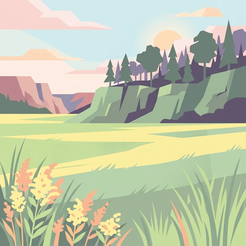
A flat-design, vector-style illustration of a tallgrass prairie with yellow wildflowers in the foreground, rolling green hills with scattered pine and deciduous trees in the midground, and soft cliffs under a setting sun in the background.

America's first and largest federal tallgrass prairie restoration, restored from a former ammunition plant in northeastern Illinois.

Midewin National Tallgrass Prairie

The Midewin National Tallgrass Prairie is a tallgrass prairie reserve and the first national tallgrass prairie ever designated in the United States. Located in northeastern Illinois in Will County, it sits on the former site of the Joliet Army Ammunition Plant between the communities of Elwood, Manhattan, and Wilmington. Managed by the U.S. Forest Service as a National Grassland, Midewin represents one of the most ambitious attempts to restore a vanished Midwestern ecosystem and is the only federal tallgrass prairie preserve east of the Mississippi River. The reserve lies within the central forest-grasslands transition ecoregion, an ecotone where prairie and woodland historically intermingled. Today the landscape combines open grasslands, sedge meadows, swales, and dolomite prairie communities with scattered woodland patches along Jackson Creek and the Kankakee River. Midewin forms the heart of a much larger conservation macrosite of more than 40,000 acres when paired with adjacent state and county protected areas, including the Des Plaines Fish and Wildlife Area. The prairie is also notable for its 2015 reintroduction of a conservation herd of American bison, the first U.S. Forest Service project of its kind. The bison are central to a long-term study examining how large native grazers shape the recovery and resilience of tallgrass ecosystems.

Location
United States of America
Park type
Protected landscape
Established
1996
Area
73.8 km²
Midewin National Tallgrass Prairie Geography

Navigate Midewin National Tallgrass Prairie events and distances

Examine earthquakes near Midewin National Tallgrass Prairie

For Midewin National Tallgrass Prairie, earthquake reports are related through epicentre position and measured distance from the restored grassland landscape. Record chronology, magnitude, depth, locality wording, prairie separation, and source documentation make the collection traceable without presuming occurrence inside the site, attributing effects to grassland or bison, or characterising present seismic danger.

Sort by
Magnitude
Location

This page describes catalogued earthquakes associated with the park by epicentre location and distance. It does not establish causation, assess current danger, or predict future earthquakes.

No earthquake records match the current filters

Park atlas

Continue from a restored Illinois prairie to other protected systems

Branch out beyond Midewin National Tallgrass Prairie

Midewin sets its earthquake history within America's first federal tallgrass prairie, restored on land once occupied by an ammunition plant. Further destinations are independent and imply no shared restoration story, prairie designation, geology, seismic evidence, proximity, hazard, or documentation depth.
National parkUnited States of America
59 km away#1 closest

East

Indiana Dunes National Park: Protected Landscape Geography and Map Exploration

Explore the National Park's geographic boundaries and regional context.

Indiana Dunes National Park represents a distinct protected area within the United States of America, characterized by its unique landscape setting. This entry provides a detailed atlas-style view, highlighting the park's mapped boundaries and its contribution to the regional geography. Understanding this National Park means appreciating its specific natural terrain and its place within the conservation landscape of North America.

Area
62.12 km²
Established
1966
IUCN
II
Visitors
2.8M annual
Watercolor painting of a soft, hazy forest landscape with rolling hills in the background and soft green trees in the foreground.
Protected landscapeIndiana
282 km away#2 closest

Southeast

Hoosier National Forest: Geographic Overview of Indiana Protected Wilderness and Woodlands

Mapping the karst terrain and forest corridors of southern Indiana.

Hoosier National Forest defines the landscape of southern Indiana with its rolling unglaciated hills and ridge systems. Discover the mapped geography of this protected area, including its rare prairie-like barrens, sandstone cliff formations, and the designated Charles C. Deam Wilderness. This overview focuses on the spatial extent and diverse topographic features that distinguish this forest from the surrounding Midwest plains.

Area
826.78 km²
Established
1961
Relief
Upland
Climate
Temperate
Marine protected areaWisconsin
About 291 km away#3 closest

North

Wisconsin Shipwreck Coast National Marine Sanctuary: Mapping Underwater Protected Cultural Landscapes

Underwater maritime archaeology and Lake Michigan basin geography.

Spanning 82 miles along the Wisconsin coastline, the Wisconsin Shipwreck Coast National Marine Sanctuary protects a unique underwater archaeological landscape. Cold, fresh water ensures the remarkable preservation of dozens of historic schooners and steamships, providing a deep look into the maritime economy of the upper Midwest. The sanctuary area offers insights into glacial lakebed terrain, bathymetric mapping, and the complex underwater geography of Lake Michigan.

Area
2,490 km²
Established
2021
Relief
Lowland
Climate
Temperate
National parkMissouri
346 km away#4 closest

Southwest

Gateway Arch National Park: National Park Geographic Atlas and Map Boundaries

Explore protected landscape context and regional setting.

Gateway Arch National Park represents a unique protected landscape within Missouri, contributing to the broader national park atlas. This entry focuses on its specific geographic identity and mapped boundaries, offering structured data for understanding its role. Discover the factual landscape context and regional importance of Gateway Arch National Park for informed geographic exploration.

Area
0.78 km²
Established
2018
IUCN
II
Visitors
1.2M annual
A soft watercolor painting showing green rolling hills, a calm body of water, and small clusters of pink flowers against a light, hazy background.
National parkMichigan
394 km away#5 closest

Northeast

Sleeping Bear Dunes National Lakeshore: Atlas, Maps, and Protected Landscape Geography

Great Lakes freshwater coast and glacial dune systems

Sleeping Bear Dunes National Lakeshore showcases the unique intersection of glacial geology and freshwater ecology. This protected area features massive dunes resting on ancient glacial deposits, backed by beech and maple forests. The geographic scope includes the vast shoreline of Lake Michigan, inland waters such as Glen Lake, and the distinct maritime history found across the remote North and South Manitou Islands.

Area
288.13 km²
Established
1970
IUCN
III
Visitors
1.5M annual
Watercolor painting of a wide, rolling landscape featuring layered sandstone bluffs and green forested hills against a light background.
Protected landscapeIllinois
402 km away#6 closest

South

Shawnee National Forest: Exploring the Protected Landscapes of the Illinois Shawnee Hills

Mapped sandstone formations and glacial terrain in southern Illinois

Spanning nearly 289,000 hectares, Shawnee National Forest is the largest body of public land in Illinois. The area is defined by its dramatic sandstone bluffs, deep canyons, and seven designated wilderness areas that provide a rare rugged topography within the American Midwest. Explore the complex geography of this forest, from its glacial-sculpted river watersheds to its diverse hardwood habitats and historic reforestation sites.

Area
2,017.83 km²
Established
1933
Relief
Upland
Climate
Temperate
Watercolor painting of rock formations and surrounding green trees on a plain white background.
Wildlife reserveIllinois
411 km away#7 closest

South

Garden of the Gods Wilderness: A Protected Sandstone Plateau in Southern Illinois

Explore geologic boundaries, sandstone hoodoos, and forested wilderness terrain

Garden of the Gods Wilderness represents a critical protected area within the Shawnee National Forest, notable for its unglaciated sandstone geography. This 3,318-acre wilderness offers an intimate view of ancient carboniferous rock formations, including prominent hoodoos and clifftop overlooks that provide expansive sightlines across the southern Illinois landscape.

Area
13.43 km²
Established
1990
Relief
Upland
Climate
Temperate
Wildlife reserveIllinois
419 km away#8 closest

South

Lusk Creek Wilderness: An Atlas of Protected Sandstone Canyons and Forests in Southern Illinois

Mapping rugged wilderness terrain and forest ecological recovery.

Lusk Creek Wilderness serves as a key protected landscape in southern Illinois, featuring extensive sandstone canyon systems and dense hardwood woodland. This area offers a unique look at the geological and forested character of the Shawnee region, documented through its boundaries, elevation changes, and natural landmarks. Use this geographic entry to examine the rugged, roadless character of the state largest wilderness designation and its place within the wider regional drainage system.

Area
25.47 km²
Established
1990
IUCN
Ib
Relief
Upland
MoriAtlas Explorer

Examine the Geography of Midewin National Tallgrass Prairie in Will County

Deepen your understanding of this significant protected landscape through the MoriAtlas map of Midewin National Tallgrass Prairie. Analyze its restoration patterns, forest transitions, and ecological boundaries within the broader context of the Midwestern landscape.