
Mori Atlas logo
Park earthquake history

Review documented seismic events near the karst landscapes and marine lakes of this region.

Historical Record of Recorded Earthquakes Associated with Mljet National Park in Croatia

This collection presents a catalogue of recorded earthquakes associated by epicenter distance with the geography of Mljet National Park. Each entry provides event details including occurrence date, magnitude, depth, and distance from the park boundaries, sourced from geophysical record archives. Explore this historical data to understand the seismic context of the surrounding Adriatic region through a structured and neutral analytical perspective.

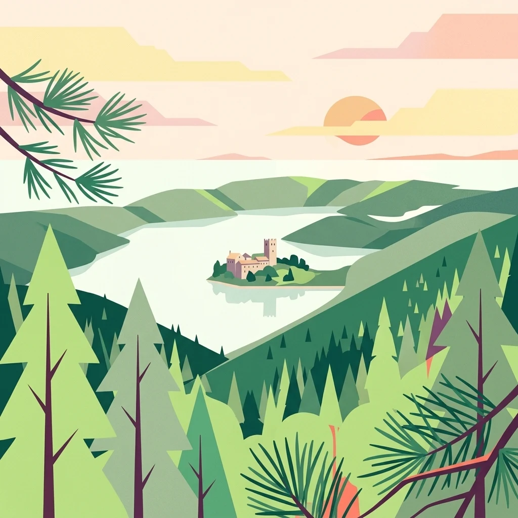
Illustration of a lake surrounded by forests with a small island featuring a historic structure under a sunset sky

Croatia's green island sanctuary of karst lakes and Benedictine heritage

Mljet National Park

Mljet National Park occupies the western third of the island of Mljet in southern Croatia, protecting an extraordinary landscape of karst terrain, saltwater lakes, and dense Mediterranean forests. Established on November 11, 1960, it represents the first institutionalized attempt to preserve a pristine ecosystem in the Mediterranean region. The park encompasses approximately 5,375 hectares of land and surrounding sea, including the famous Veliko jezero (Great Lake) and Malo jezero (Small Lake)—two unique marine lakes that were once freshwater bodies thousands of years ago. These interconnected lakes, connected to the open sea through narrow channels, create a distinctive geological and oceanographic phenomenon rare in the world's karst landscapes. The park is often called the "Green Island" due to its lush vegetation, which covers over 90% of its surface and represents some of the most well-preserved Mediterranean forest in the Adriatic region.

Location
Croatia
Park type
National park
Established
1960
Area
53 km²
Mljet National Park Protected Landscape

Search Mljet National Park events by depth and distance

Review the recorded earthquake catalogue around Mljet National Park

Mljet National Park’s earthquake catalogue relates reported epicentres to its Croatian island boundary through calculated distance, not through karst limestone, forested hills, saltwater lakes, or marine channels. Dates, magnitudes, depths, localities, sources, and park distances permit historical comparison without claiming landscape effects, current danger, or prediction.

Sort by
Magnitude
Location

This page describes catalogued earthquakes associated with the park by epicentre location and distance. It does not establish causation, assess current danger, or predict future earthquakes.

No earthquake records match the current filters

Park atlas

Move past Mljet National Park earthquake data

Discover other protected parks beyond Mljet National Park

Move from Mljet National Park’s earthquake records to protected landscapes with distinct geographic and cultural stories. Their inclusion does not imply shared Adriatic island setting, karst lakes, Croatian national-park status, marine ecology, seismic history, geographic proximity, Benedictine heritage, present hazard, risk, or matching evidence depth.
Watercolor illustration of rolling hills, green vegetation, and distant mountains under a light sky
Protected areaCroatia
13 km away#1 closest

West

Lastovo Nature Park: Discover the Adriatic Karst Archipelago's Protected Landscape

Mapped karst terrain, ancient architecture, and natural island geography.

Lastovo Nature Park protects a remote Croatian archipelago characterized by its striking karst landscape, featuring 46 hills and 46 karstic fields. This protected area offers significant natural biodiversity and remarkably preserved cultural heritage, with extensive Holm Oak and Aleppo Pine forests covering over 60% of the island. Explore Lastovo's unique geography, mapped terrain, and its distinct place within the Adriatic region.

Area
46.87 km²
Established
2006
IUCN
V
Relief
Upland
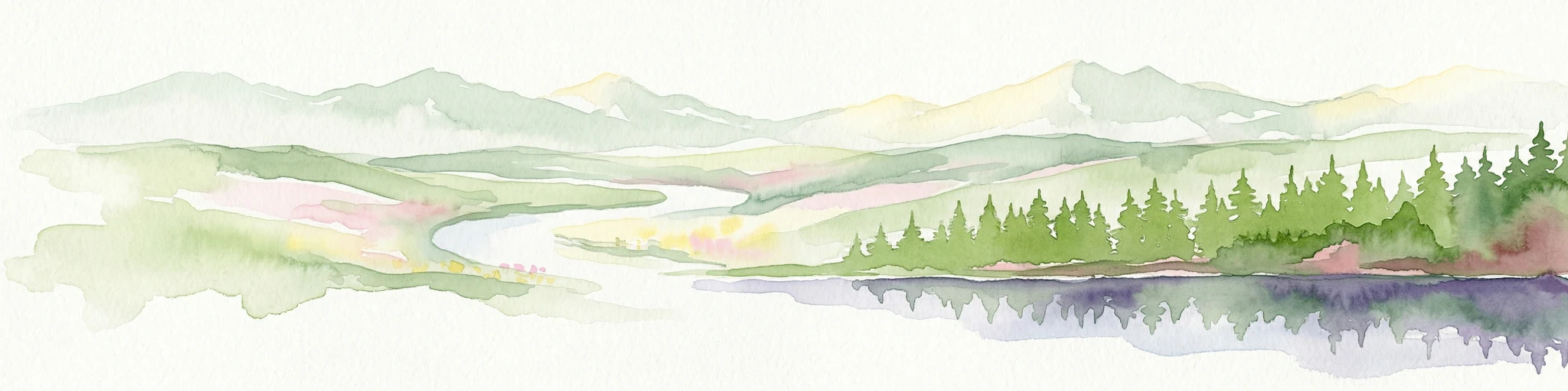
Watercolor illustration of a landscape with green hills, a river, and distant mountains under a light sky
Protected landscapeDalmatia
About 63 km away#2 closest

Northwest

Biokovo Nature Park: Protected Landscape and Karst Terrain in Dalmatia

Explore Dalmatia's premier protected mountain range along the Adriatic.

Biokovo Nature Park is a striking protected landscape situated in the Dalmatia region of Croatia, characterized by its immense limestone massifs that create a formidable barrier between the coast and the continental interior. This protected area is defined by its classic karst topography, featuring a complex network of sinkholes and caves, and offers unparalleled views from peaks like Sveti Jure. MoriAtlas provides detailed geographic context for understanding Biokovo Nature Park's unique terrain, mapped boundaries, and its significant role in the regional landscape.

Area
196 km²
Established
1981
IUCN
V
Relief
Mountain
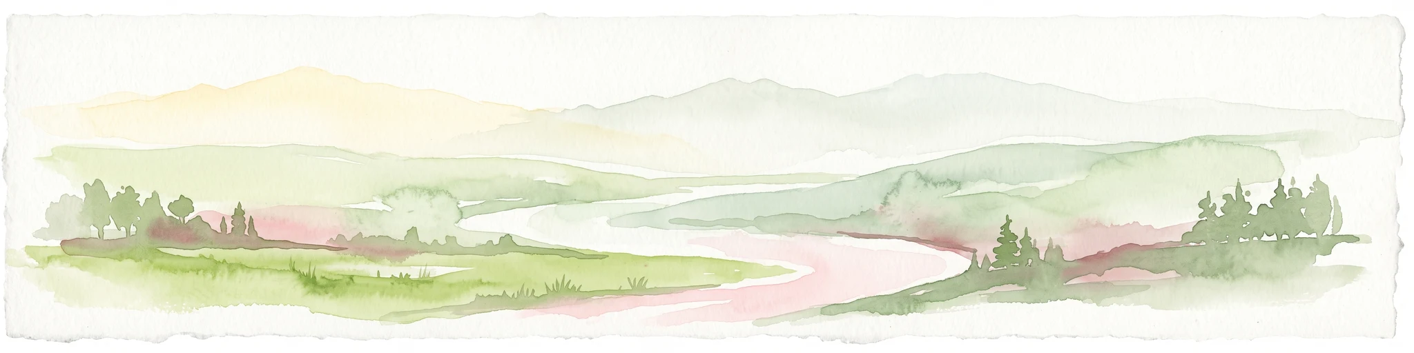
A pale, wide watercolor illustration showing rolling green hills and a winding stream, framed by distant, hazy mountain ridges.
Protected landscapeMontenegro
About 92 km away#3 closest

East

Orjen Protected Landscape: Montenegro Mountain Geography and Karst Atlas

High-altitude karst massif and Dinaric coastal mountain.

Orjen rises as a dramatic limestone block above the Adriatic coast of Montenegro, forming a high-altitude sanctuary defined by intensive Pleistocene glaciation and record-breaking annual precipitation. This protected landscape encompasses extensive dolines, roches moutonnées, and specialized cold-air refugia, providing a detailed study of sub-Mediterranean highland vegetation and complex subterranean karst drainage.

Area
400 km²
Established
2017
Relief
Mountain
Climate
Mediterranean
Watercolor illustration of mountain ranges, a lake, and forested hills in soft pastel colors
National parkBosnia and Herzegovina
108 km away#4 closest

Northeast

Sutjeska National Park: Bosnia and Herzegovina's Oldest National Park and Primeval Forest Reserve

Explore the mapped geography and protected landscape of this vital Balkan natural area.

Sutjeska National Park, Bosnia and Herzegovina's inaugural national park, protects a dramatic mountainous region defined by primeval forests and its highest peak, Maglić. As a strict nature reserve, Perućica's ancient trees represent a rare ecological treasure within the Balkan landscape. This page offers a detailed look at the park's protected boundaries, its diverse natural terrain, and its significant geographic setting for atlas exploration.

Area
160.52 km²
Established
1962
IUCN
II
Relief
Mountain
National parkMontenegro
About 120 km away#5 closest

East

Lovćen National Park: Karst Geography and Protected Mountain Landscapes in Montenegro

Dinaric massif rising above the Adriatic coastal basin.

Lovćen National Park encompasses a dense, rocky landscape of limestone and dolomite in southwestern Montenegro. Known as the namesake for the country itself, the massif creates a sharp geographic boundary between the Adriatic Sea and the inland highlands. The area offers a profound look at Dinaric karst features, including dramatic cliffs and endemic botanical habitats, preserved within a culturally rich mountain setting.

Area
62.2 km²
Established
1952
Relief
Mountain
Climate
Mediterranean
National parkMontenegro
About 121 km away#6 closest

East

Lovćen National Park: Karst Mountain Geography and Protected Landscapes in Montenegro

Dinaric Alps limestone terrain and historic mountain heritage

Spanning from 400 to 1,749 meters, Lovćen National Park protects the symbolic limestone massifs of southwestern Montenegro. The terrain is defined by complex karst formations, deep gorges, and distinct ecological zones, forming a critical observation point across the rugged Dinaric mountain interior.

IUCN
II
Scope
Terrestrial
Water
No major water
Watercolor illustration showing mountains, a winding river, and forested areas
National parkMontenegro
About 134 km away#7 closest

East

Durmitor National Park: Geography and Protected Landscape Atlas of Northern Montenegro

Alpine mountain terrain, deep river canyons, and glacial lake ecosystems.

Delve into the geography of Durmitor National Park, a rugged sanctuary in Montenegro that protects spectacular limestone peaks and the dramatic Tara River canyon. This protected area highlights the geological complexity of the Dinaric Alps through its U-shaped valleys, karst features, and diverse alpine meadows that define this significant regional wilderness.

IUCN
II
Relief
Mountain
Climate
Alpine
Scope
Terrestrial
Watercolor illustration of a tree, green hills, and distant water view
National parkApulia
136 km away#8 closest

Southwest

Gargano National Park: Apulia's Protected Landscape and Regional Geographic Context

Mapped boundaries and natural terrain of a key Italian national park.

Delve into Gargano National Park, a designated national park situated in the Apulia region of Italy. This protected landscape offers valuable insights into the geography of the Gargano promontory. Through MoriAtlas, users can explore its mapped boundaries, understand its terrain, and connect it to the broader regional geography of southern Italy, providing a solid foundation for protected-area discovery.

Area
1,181.44 km²
Established
1991
IUCN
II
Relief
Mixed relief
MoriAtlas Explorer

Continue Exploring Mljet National Park's Mapped Geographic Features and Protected Lands

Delve deeper into the structured atlas data for Mljet National Park, focusing on its distinctive karst terrain, mapped lake boundaries, and the preserved Mediterranean forest ecosystems. Understanding this park's geography provides critical context for regional protected area exploration and appreciating unique natural landscapes. Discover how its geological history and protected status contribute to its notable place within the broader Adriatic geography.