Mori Atlas logo
Park earthquake history

A historical catalogue of regional seismic events compiled by distance to the park boundaries

Documented Earthquake History and Recorded Seismic Activity Near Morrocoy National Park

Explore the structured collection of recorded earthquakes identified by their epicentre location relative to the coastal landscape of Morrocoy National Park. This catalogue provides a chronological look at documented seismic history, including specific event magnitudes, depths, and proximity data derived from historical USGS records. Access standardized geographic details for each recorded occurrence to understand the regional seismic context surrounding these Venezuelan protected lands.

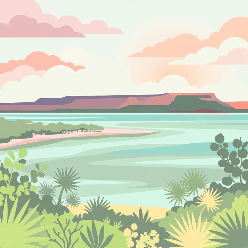
A flat vector-style illustration of a tropical coastline with palm-like plants in the foreground, calm blue water in the middle ground, and a distant mesa-like landmass under a sunset sky.

Caribbean coastal park with mangroves, cays, and rich birdlife on Venezuela's Falcón coast

Morrocoy National Park

Morrocoy National Park is a protected coastal area located on the eastern shore of Falcón State in northwestern Venezuela, spanning both terrestrial and marine environments along the Golfo Triste. The park encompasses approximately 32,090 hectares of diverse landscapes including mangrove forests, numerous cays and islets, white sand beaches, and the surrounding coastal terrain. Established on May 26, 1974, the park is administered by INPARQUES and holds IUCN Category II designation as a national park. The area is characterized by the Chichiriviche hills, which rise to 285 meters and represent the highest point in the park, standing amid a geological formation of Tertiary-period coral origin belonging to the Capadare-Agua Linda limestone formation. The park's ecosystem supports a remarkable diversity of habitats ranging from tropical dry forests to coastal lagoons, marshes, and coral reef environments.

Location
Venezuela
Park type
National park
Established
1974
Area
320.9 km²
Highest point
285 m
Morrocoy National Park Protected Area

Explore Morrocoy National Park records by depth and distance

Study historical recorded earthquakes around Morrocoy National Park

Morrocoy National Park covers 320.9 km² of tropical Venezuelan wetlands, dominant forest, islands, beaches, hills, coast, reefs, and caves under mixed protection. Associated earthquakes are spatial records for comparison, not proof of ecosystem effects, boundary crossing, or present risk.

Sort by
Magnitude
Location

This page describes catalogued earthquakes associated with the park by epicentre location and distance. It does not establish causation, assess current danger, or predict future earthquakes.

No earthquake records match the current filters

Park atlas

Go beyond Morrocoy National Park earthquake records

Explore other protected parks beyond Morrocoy National Park

Morrocoy National Park’s earthquake catalogue is followed by more protected-place routes beyond a Venezuelan Caribbean setting of mangroves, islands, coral reefs, beaches, caves, tropical dry forest, wetlands, and hills. The list is not an ecological or seismic match set, so common park status, location, geology, event history, data depth, hazards, and current risk cannot be inferred.
A stylized digital illustration of a stream flowing through a forested valley with light-colored rock formations and mountains in the background.
National parkCarabobo
About 44 km away#1 closest

Southeast

San Esteban National Park: Discover Carabobo's Protected Caribbean Forest Landscape

Mapped protected area and natural terrain in Venezuela.

San Esteban National Park represents a significant protected area within Venezuela's Carabobo region, offering a unique exploration of Caribbean forest ecosystems and historical cultural sites. Covering approximately 445 square kilometers, the park's terrain spans coastal areas to mountainous interiors, presenting a diverse natural landscape shaped by its position in the coastal mountain ranges. This national park is notable for its archaeological petroglyphs, colonial roads, and fortifications, providing a rich cultural heritage context alongside its natural ecosystems. Its status as a protected national park makes it a key destination for understanding the intersection of natural conservation and historical geography in Venezuela.

Area
445 km²
Established
1987
IUCN
II
Relief
Mixed relief
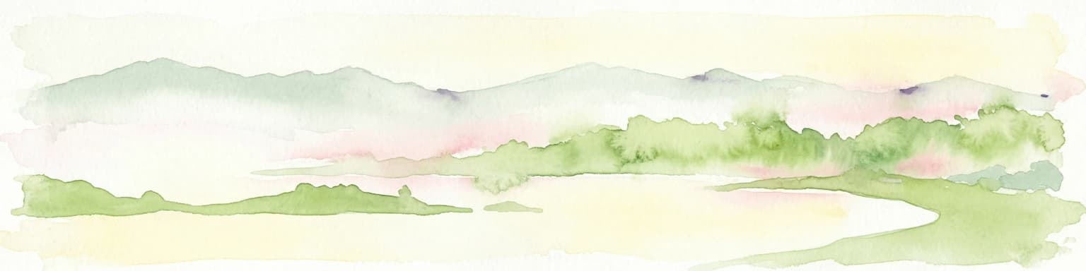
Watercolor painting depicting mountains, a lake, and green vegetation
National parkVenezuela
46 km away#2 closest

Southeast

Henri Pittier National Park

Explore protected landscapes, cloud forests, and birdwatching geography.

Henri Pittier National Park, in Venezuela. Landscapes: mountains, valleys, and forests.

Area
1,078 km²
Established
1937
IUCN
II
Relief
Mountain
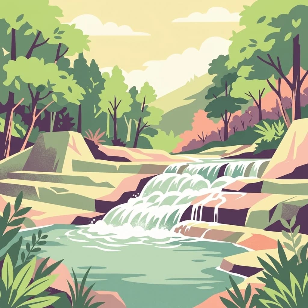
A stylized digital illustration of a cascading waterfall flowing over rocks into a quiet forest pool, surrounded by lush green trees.
National parkVenezuela
About 48 km away#3 closest

Southwest

Yurubí National Park: A National Park in Venezuela for Protected Landscape Exploration

Explore mapped boundaries and regional geography.

Yurubí National Park represents a distinct protected area within Venezuela, offering valuable data for geographic exploration and atlas-based understanding. This national park's identity is defined by its mapped boundaries and its role in the regional landscape context of northern South America. Delve into its protected territory to gain insights into Venezuela's natural geography and conservation landscapes.

Area
236.7 km²
Established
1960
IUCN
II
Relief
Mountain
National parkVenezuela
About 69 km away#4 closest

West

Cueva de la Quebrada del Toro National Park: Venezuelan National Park Protected Landscape

Explore its mapped boundaries and regional geographic context.

This page details Cueva de la Quebrada del Toro National Park, highlighting its status as a national park within Venezuela. Understand the park's geographic setting, its role as a protected landscape, and its mapped presence within the country's natural reserves. It provides essential context for exploring its protected boundaries and regional significance for atlas-based discovery.

Area
48.85 km²
Established
1961
IUCN
II
Relief
Upland
Natural monumentAragua
About 104 km away#5 closest

Southeast

Monumento Natural Pico Codazzi: Karst Landscapes and Mountain Corridors in Aragua

Exploring protected summit terrain and regional mountain connectivity

Spanning over 11,850 hectares, Monumento Natural Pico Codazzi preserves a complex mountain landscape defined by limestone massifs, vertical cliffs, and subterranean cave systems. Located in Aragua, this protected area functions as a biological bridge between major national parks, safeguarding a critical environment for migratory bird transit and high-altitude cloud forest stability across the Coastal Range.

Area
118.5 km²
Established
1991
Relief
Mountain
Climate
Tropical
A digital illustration of a green hilly landscape under a soft pink and orange sky, featuring rolling grasslands and forest patches.
National parkVenezuela
About 104 km away#6 closest

South

Tirgua National Park: Geographic Overview and Protected Mountain Landscape Map

Examining the high altitude terrain and watersheds of Lara State

Tirgua National Park is a protected area situated in the mountainous region of Lara State in western Venezuela. This location covers diverse cloud forest environments and steep river valleys that are critical to the Tocuyo River basin. The area provides a unique window into the neotropical mountain ecosystems of the Venezuelan Andes, showcasing rugged topography and distinct highland watersheds.

Area
910 km²
Established
1992
IUCN
II
Relief
Upland
A graphic illustration depicting a valley with a winding river and waterfalls between mountain cliffs, viewed from within a forest.
National parkVenezuela
112 km away#7 closest

East

Macarao National Park: Venezuela's National Park with Mapped Boundaries and Regional Atlas Context

Explore its protected landscape and geographic setting within South America.

Delve into Macarao National Park, a significant national park situated in Venezuela. This page offers an atlas-centric view of the park, detailing its mapped boundaries and highlighting its importance within the regional geography of northern South America. Understand how Macarao National Park contributes to the country's network of protected landscapes and provides foundational geographic context for explorers and researchers.

Area
150 km²
Established
1973
IUCN
II
Relief
Mountain
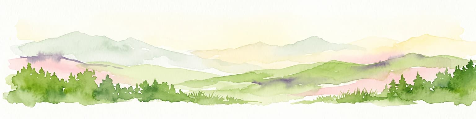
A horizontal watercolor illustration of gentle, rolling green hills and faint, distant mountains against a soft, pale background.
Natural monumentGuárico
About 125 km away#8 closest

Southeast

Monumento Natural Arístides Rojas: Protected Limestone Landscapes in Guárico, Venezuela

Geological exploration of the iconic Los Morros limestone formation

Monumento Natural Arístides Rojas represents a significant protected area in central Venezuela, defined by its dramatic Paleocene limestone hills. This site serves as a vital geological monument, featuring karst caves, steep rocky ridges, and expansive views over San Juan de los Morros. Browse geographic terrain data and trace the boundaries of these sharp, tooth-like hills that characterize the regional landscape transition into the Venezuelan llanos.

Area
27.75 km²
Established
1949
Relief
Mountain
Water
Minor water
MoriAtlas Explorer

Morrocoy National Park

Explore the map, landscapes, and protection details for Morrocoy National Park.