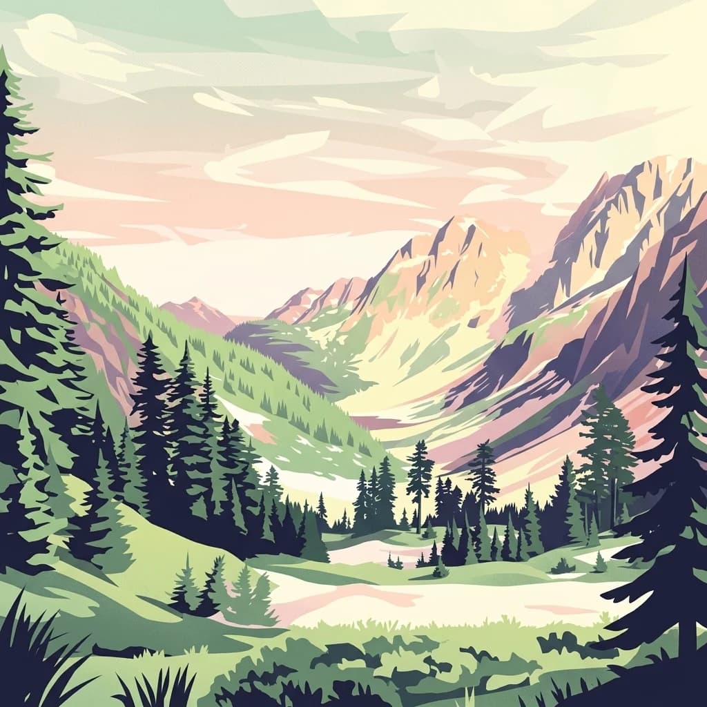
A wild Cascade landscape dominated by an active stratovolcano, glaciers, and old-growth forests.
Mount Baker Wilderness
Mount Baker Wilderness is a federally designated wilderness area in the western Cascade Range of northern Washington, almost entirely within Whatcom County. Established in 1984, it spans roughly 120,000 acres within the larger Mount Baker-Snoqualmie National Forest and runs from State Route 20 in the south to the Canada-United States border in the north. Its eastern boundary runs alongside North Cascades National Park and the Stephen Mather Wilderness for about 40 miles, creating a large contiguous block of protected mountain terrain in the North Cascades ecosystem.
The wilderness is defined by the volcanic presence of Mount Baker, one of the most active volcanoes in the Cascade Range and the northernmost active volcano in Washington state. Glaciers, rugged ridges, alpine meadows, and old-growth conifer forests combine with deep river valleys formed by the three forks of the Nooksack River and the Baker River. Together, these features create a transition zone between the maritime climate of the Pacific Northwest and the high-elevation environments of the North Cascades.
Mount Baker Wilderness is managed by the U.S. Forest Service under the National Wilderness Preservation System, providing a high level of protection for its ecosystems, geological features, and recreational character. The area is valued for hiking, climbing, and backcountry experience in a setting shaped by ongoing volcanic and glacial processes.