

Streams
Park geography
Analyzing the terrain, elevation ranges, and landscape features within the park
Detailed Geographic Profile and Mapped Boundaries of Mount Walsh National Park
This geographic profile provides an in-depth look at Mount Walsh National Park in Queensland, Australia. Examine the recorded boundary encompassing 52.4 square kilometers, identify primary mountain peaks, and study the diverse habitat classifications including forest, woodland, and shrubland areas.
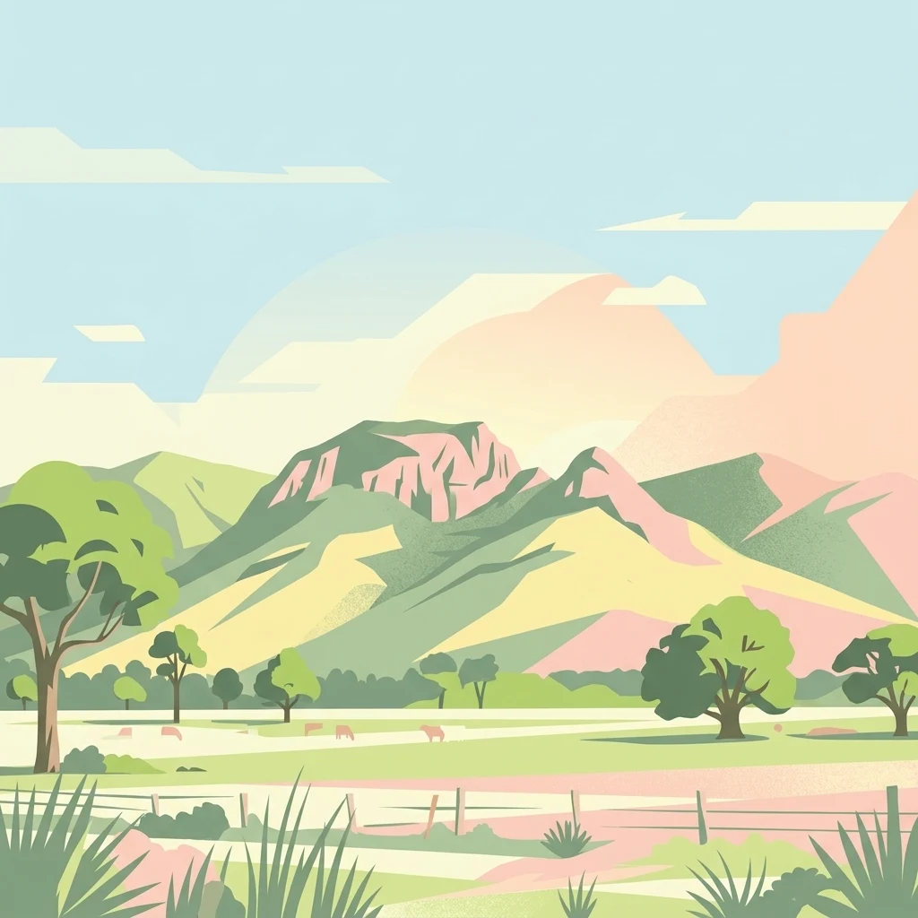
Dramatic granite bluffs and diverse forests in Queensland's Biggenden region
Mount Walsh National Park
Mount Walsh National Park is a protected natural area in Queensland, Australia, located approximately 230 kilometers northwest of Brisbane near the town of Biggenden. The park encompasses approximately 52 square kilometers of rugged terrain centered around a prominent granite bluff that rises to 703 meters above sea level. The landscape is characterized by exposed granite outcrops, steep forested ridges, and sheltered gullies, creating a complex topography that supports remarkable biodiversity. Established in 1947, the park is managed by the Queensland Parks and Wildlife Service and remains one of the region's most distinctive natural landmarks. The granite formation itself dates back to the late Triassic period, approximately 215 million years ago, when volcanic activity shaped the dramatic cliffs, tors, and rocky pavements visible today.
- Location
- Australia
- Park type
- National park
- Established
- 1947
- Area
- 52.4 km²
- Highest point
- 703 m
Location overview
Regional territory and administrative positioning in Australia
Mount Walsh National Park Geographic Location and Regional Setting
Mount Walsh National Park is situated within the state of Queensland in Australia. Mainland positioning establishes it within a single jurisdiction, free of coastal, island, or transboundary classifications.
- Countries
- Australia
- Regions
- Queensland
- Primary location
- Queensland
- Geographic setting
- Inland
Boundary and coordinates
Interactive boundary geometry and calculated area metrics
Mount Walsh National Park Boundary Map and Spatial Extent
Mapped park outlines provide essential spatial context for analyzing protected terrain. Accompanying boundary facts detail recorded area metrics and coordinate limits without implying official legal survey precision.
- Boundary area
- 141.8 km²
- Boundary perimeter
- 111.5 km
- Northernmost point
- 25.5596° S
- Southernmost point
- 25.7177° S
- Easternmost point
- 152.1187° E
- Westernmost point
- 151.9519° E
- Geographic centre
- 25.6458° S, 152.0328° E
- North–south span
- 17.5 km
- East–west span
- 16.8 km
Elevation and terrain
Mountain relief range and recorded physical features
Mount Walsh National Park Terrain and Elevation Profile
Stored park elevation data records a maximum peak height of 703 meters across mountain terrain. Linked feature cards provide recorded names, types, and spatial relationships for interior streams and peaks.
- Maximum elevation
- 703 m
- Highest point
- 703 m
Selected named natural features
Streams
Sandy Creek
Streams
Swindle Creek
Peaks
Mount Walsh
703 m
Streams
Little Eel Creek
Peaks
The Bluff Mountain
Environmental setting
Subtropical mountain relief, forest cover, and diverse habitat types
Mount Walsh National Park Environmental Classifications and Terrain Settings
Recorded landscape features and habitat types serve as interpretive categories for reading the physical setting of Mount Walsh National Park. Stored classifications connect recorded environmental types to relevant protected area records across the wider atlas.
- Relief
- Mountain
- Climate
- Subtropical
- Water
- Minor water
- Forest cover
- Mostly forested
- Seasonality
- Year-round
Landscape features
Mountains · Cliffs · Forest · Woodland · Grassland
Habitat types
Temperate broadleaf forest · Montane forest · Heath · Shrubland · Grassland
Park atlas
Trace the Regional Park Geography and Protected Landscapes Adjacent to Mount Walsh National Park.
Compare Nearby National Parks and Protected Areas Surrounding Mount Walsh, Queensland
Explore the diverse protected areas and national parks situated within the wider Queensland region, offering varied terrain, distinct ecosystems, and unique conservation landscapes. Continue your geographic discovery beyond Mount Walsh National Park by comparing a curated list of nearby protected areas, mapping their spread, and understanding their individual characteristics in regional context.
National parkQueensland
About 6.5 km away#1 closest
West

Coalstoun Lakes National Park: Queensland National Park's Mapped Protected Landscape
Explore regional geography and park boundaries in Queensland.
Coalstoun Lakes National Park is a significant national park entity within Queensland, Australia, offering rich opportunities for geographic discovery. This dedicated page provides detailed insights into its protected landscape, mapped boundaries, and regional context. Understand how Coalstoun Lakes National Park fits within the natural geography of Queensland, supporting structured exploration for users interested in protected areas and map-based insights.
- Area
- 0.26 km²
- Established
- 1929
- IUCN
- II
- Relief
- Mixed relief
National parkQueensland
21 km away#2 closest
Northeast
Fairlies Knob National Park: Queensland National Park Protected Landscape Explorer
Mapped protected areas and regional geography in Queensland.
Fairlies Knob National Park offers a unique point of entry into Queensland's atlas of protected areas. This detailed view focuses on the park's identity as a national park, providing insights into its mapped boundaries and its geographical context within the Australian state. Explore the fundamental protected landscape features and understand its place within the broader regional geography.
- Area
- 0.56 km²
- Established
- 1910
- IUCN
- II
- Relief
- Lowland
National parkQueensland
27 km away#3 closest
North
Goodnight Scrub National Park: Protected Dry Rainforest and Hoop Pine Ecosystems
Explore the mapped terrain and conservation significance of this Queensland park.
Goodnight Scrub National Park safeguards a rare dry rainforest ecosystem, a significant ecological asset within Queensland's protected area network. Dominated by iconic hoop pine trees, this national park showcases a unique landscape characterized by its distinct vegetation and geographic setting. The park's conservation value is highlighted by its role in preserving a habitat type uncommon in Australia, offering insights into regional landscape dynamics and protected land importance.
- Area
- 63.3 km²
- IUCN
- II
- Relief
- Lowland
- Access
- Moderate access
National parkQueensland
About 48 km away#4 closest
Southeast
Mount Bauple National Park: Queensland National Park's Protected Landscape and Map Context
Discover its mapped boundaries and regional geography.
Mount Bauple National Park, designated as a national park in Queensland, Australia, offers a unique focus within the state's rich protected area network. This entry provides detailed insight into the park's specific geographic identity and its landscape characteristics. Understanding Mount Bauple National Park is key to grasping the diversity of Queensland's natural terrain and its role in the broader Australian geography. Explore its mapped boundaries and the regional context that defines this significant protected landscape.
- Area
- 5 km²
- Established
- 1935
- IUCN
- Ia
- Relief
- Mountain
National parkAustralia
56 km away#5 closest
Northeast
Burrum Coast National Park: An Atlas View of Australia's Protected Landscape
Explore the mapped terrain and regional geography of this national park.
Burrum Coast National Park in Australia serves as a key node for understanding protected landscapes through a geographic lens. This entry provides detailed context on the park's mapped boundaries and natural terrain, contributing to a structured atlas of Australia's conservation areas. Discover the specific geographic identity and landscape characteristics that define Burrum Coast National Park as a significant protected natural area.
- Area
- 225 km²
- Established
- 1995
- IUCN
- II
- Relief
- Lowland
National parkFraser Coast Region
67 km away#6 closest
East
Poona National Park: Coastal Wetland Refuge and Protected Landscape Exploration
Discover the mapped terrain and regional geography of this national park.
Poona National Park protects a critical coastal wetland ecosystem in Queensland's Fraser Coast Region, renowned for its role as a refuge for endangered trees and threatened animal species. The park's landscape is characterized by extensive marshy areas and coastal forests situated between river systems and the ocean. This undeveloped protected area provides essential habitat, highlighting the unique geographic context and conservation importance of these coastal environments within Australia.
- Area
- 53.68 km²
- Established
- 1991
- IUCN
- II
- Relief
- Lowland
National parkQueensland
69 km away#7 closest
Southwest
Beeron National Park: National Park Protected Landscape in Queensland, Australia
Discover its geographic context and mapped natural terrain.
Delve into Beeron National Park, a distinct national park located in Queensland, Australia. This protected area offers a unique perspective on the region's natural landscapes and geography. By examining its mapped boundaries and its position within Queensland's broader environmental context, users can gain a structured understanding of this significant conservation landscape.
- Area
- 70.5 km²
- Established
- 2009
- IUCN
- II
- Scope
- Terrestrial
Biosphere reserveQueensland
About 78 km away#8 closest
East
Great Sandy Biosphere Reserve: Atlas of Coastal Dunes, Rainforests, and Estuarine Wetlands
A protected coastal landscape in Queensland, Australia
This biosphere reserve protects a rare mosaic of environments, from the world's largest sand island to productive intertidal seagrass beds. Examine the geological transition between volcanic inland uplands, ancient dune forests, and sheltered estuarine channels that define this significant Australian protected area.
- Area
- 12,422.2 km²
- Established
- 2009
- Visitors
- 950K annual
- Relief
- Mixed relief
MoriAtlas Explorer
Continue Exploring Mount Walsh National Park's Mapped Granite Terrain
Delve deeper into the geographic context and unique landscape features of Mount Walsh National Park, a significant protected area within Queensland. Understanding its geological origins, mapped boundaries, and distinct terrain provides valuable insight for anyone exploring Australian national parks and regional protected lands. Continue your atlas discovery by examining the specific mapped landscape characteristics that define this remarkable natural landmark.
Browse next
Global natural geography
Explore related park routes
Explore MoriAtlas Global ParksBrowse All MoriAtlas ParksGlobal Park Map DiscoveryMoriAtlas: Browse All CountriesBrowse All MoriAtlas ContinentsNational Park Environment AtlasGrand Canyon National Park AtlasYellowstone National Park AtlasYosemite National Park Atlas and GeographySerengeti National Park AtlasGalápagos National Park Protected LandscapeBanff National Park Geography and AtlasKruger National Park Atlas EntryUluṟu-Kata Tjuṯa National Park AtlasExplore Uluru-Kata Tjuta National Park GeographyPlitvice Lakes National Park AtlasFiordland National Park Protected LandscapeGreat Smoky Mountains National Park AtlasAfghanistan National Parks and Protected AreasAlbania National Parks and Protected AreasAlgeria National Parks and Protected AreasAmerican Samoa National Parks and Protected AreasAndorra National Parks and Protected AreasAngola National Parks and Protected AreasAntarctica National Parks and Protected AreasAntigua and Barbuda Park List