Mori Atlas logo
Nearby park discovery

Mapping the surrounding terrain and network of conservation lands in North Rhine-Westphalia

Regional Protected Areas and Geographic Landscape Context Near Muckenbruch Nature Reserve

This geographic overview visualizes the spatial distribution of nature reserves and protected landscapes situated near Muckenbruch. By examining the broader Hellwegbörde territory, users can observe the connectivity of wetland habitats and woodland mosaics within the regional terrain. The mapping focus highlights how individual protected sites align with local hydrological features and agricultural surroundings.

A flat-style digital illustration of a scenic valley with a winding river, stylized green trees in the foreground, and high mountain cliffs with a small waterfall in the background under a sunrise sky.

A protected lowland peat bog mosaic on the edge of Bad Westernkotten in the Hellwegbörde region.

Muckenbruch

Muckenbruch is a protected lowland peat bog (Niedermoor) on the northern edge of Bad Westernkotten, a district of Erwitte in the Kreis Soest region of North Rhine-Westphalia, Germany. Designated as a nature reserve in 1996, it covers roughly 97 hectares of groundwater-dependent wetland habitat immediately adjacent to the village. The reserve protects a richly structured landscape of bog woodland, sedge marshes, reedbeds, wet meadows, and near-natural flowing waters, supporting a wide array of rare plants and animals. Since 2004 it has formed part of the EU Natura 2000 network as an FFH area and is also included in the Hellwegbörde European Bird Protection Area, recognizing its broader cross-border ecological importance. Decades of drainage had placed the bog under serious threat, prompting rewetting measures beginning in 2014. Together with the recovery of characteristic wetland vegetation and the return of the European beaver, the active restoration has turned Muckenbruch into a notable example of peatland conservation practice within the Soest Börde landscape.

Location
Germany
Park type
Nature reserve
Established
1996
Area
1 km²
Muckenbruch Nature Reserve Atlas
Regional park map

See the ranked park cluster in its geographic setting

Nearby parks around Muckenbruch

This regional map shows the same 20 nearby parks ranked below around Muckenbruch. Select a ranked marker to highlight that park’s boundary where boundary data is available.
Reference park: MuckenbruchRanked nearby park20 nearby parks shown
20 nearby parks

Geographic proximity and regional park comparisons surrounding Muckenbruch

Ranked Protected Areas and Parks Geographically Near Muckenbruch

Geographic distance measurements establish a ranked index of protected areas surrounding Muckenbruch based on boundary separation and regional terrain. Country context and recorded environmental attributes provide structured comparison signals for analyzing surrounding protected landscapes.
Protected landscapeKreis Paderborn
About 17 km away#1 closest

Southeast

Landschaftsschutzgebiet FFH-Gebiet Wälder bei Büren: Regional Protected Forest Landscapes

Geographic map and protected area context in Kreis Paderborn

Landschaftsschutzgebiet FFH-Gebiet Wälder bei Büren functions as a European-level habitat site defined by its interconnected beech forest mosaic. The area is characterized by a mix of woodruff and rough blue-grass beech woodland, interwoven with intermittent stream courses, source areas, and geological sinkholes that create varied microhabitats within the North Rhine-Westphalia landscape.

Area
28.045 km²
Established
2007
Relief
Upland
Climate
Temperate
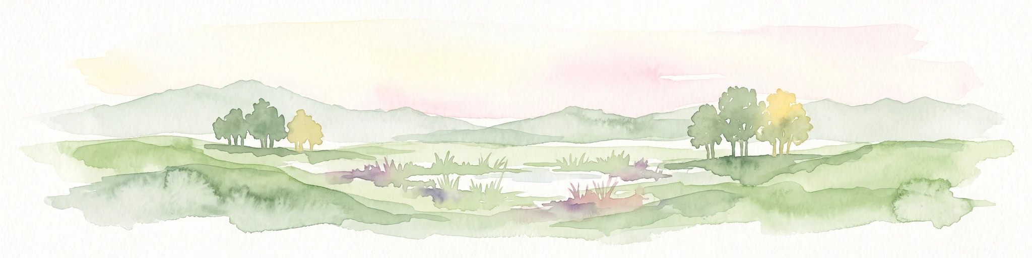
Watercolor painting of a peaceful wetland landscape with green grassy fields, small groups of trees, and a central pond, set against a soft, pale background.
Nature reserveNordrhein-Westfalen
About 20 km away#2 closest

North

Rietberger Emsniederung mit Steinhorster Becken: Geography and Nature Reserve Atlas

Protected floodplain habitats in North Rhine-Westphalia

Situated along the upper Ems river, this protected area serves as an essential ecological corridor. Examine the mapped extent of its wet meadows, basin structures, and riverine channels that distinguish this region from the surrounding agricultural landscape.

Area
9.28 km²
Established
2000
Relief
Lowland
Climate
Temperate
Nature reserveNordrhein-Westfalen
About 20 km away#3 closest

Northwest

Märzenbecherwald Nature Reserve: Wetland Mosaic and Protected Forest in Nordrhein-Westfalen

A rare calcareous fen and alder swamp forest ecosystem

This protected nature reserve in the Warendorf district serves as a vital ecological anchor, preserving a mosaic of spring-fed seeps, damp woodlands, and calcareous fens. Despite its modest size, the area provides a sharp contrast to the surrounding agricultural fields of the Münsterland region, maintaining a essential water-logged habitat for specialized plant species.

Area
0.016 km²
Established
1995
IUCN
IV
Relief
Lowland
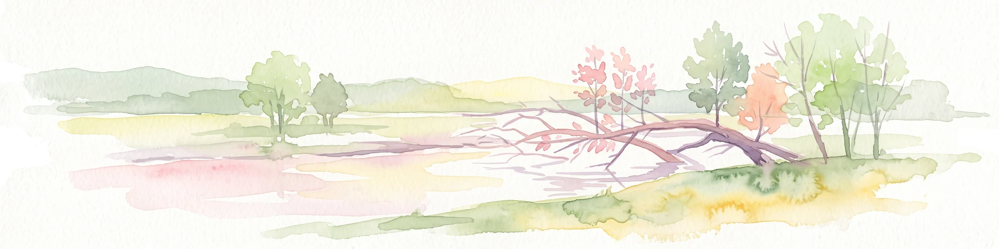
A soft watercolor illustration showing a calm, light-toned landscape with a river, a fallen tree reaching into the water, and sparse trees against a backdrop of gentle hills.
Nature reserveNordrhein-Westfalen
About 20 km away#4 closest

West

Lippeaue zwischen Hamm und Lippstadt mit Ahsewiesen Protected Area and Wetland Geography

Mapping the floodplain meadows and river restoration in Nordrhein-Westfalen

Investigate the complex landscape structure of this prominent nature reserve, defined by its extensive floodplain meadows, reed beds, and remnants of alluvial forest. The site offers a clear look at how restored river meanders and managed grassland complexes function within the wider lowland geography of Germany.

Area
72 km²
Established
2004
Relief
Lowland
Climate
Temperate
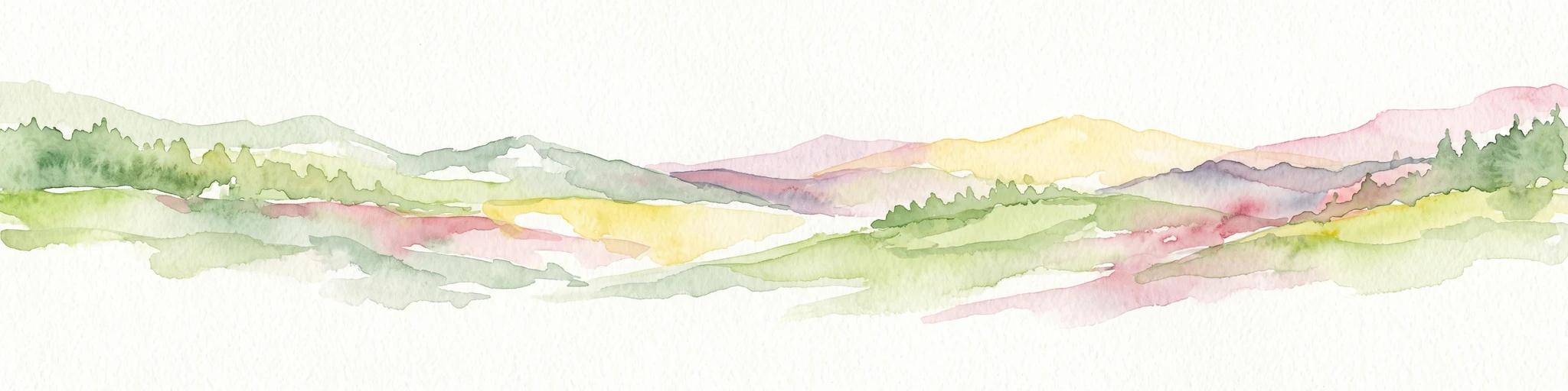
A horizontal watercolor painting showing rolling, abstract hills with patches of green, yellow, and soft red, accented with stylized coniferous forest lines.
Nature reserveNordrhein-Westfalen
About 21 km away#5 closest

Southeast

Leiberger Wald Nature Reserve: Protected Woodland and Stream Geography in Paderborn

A mapped forest complex within the Nordrhein-Westfalen landscape

Leiberger Wald encompasses an extensive series of beech forests and riparian habitats that form a key protected node in the Kreis Paderborn. As a significant nature reserve, the area supports a wide range of woodland and aquatic species, serving as a critical refuge within the broader ecological network of western Germany.

Area
17.86 km²
Established
1994
IUCN
IV
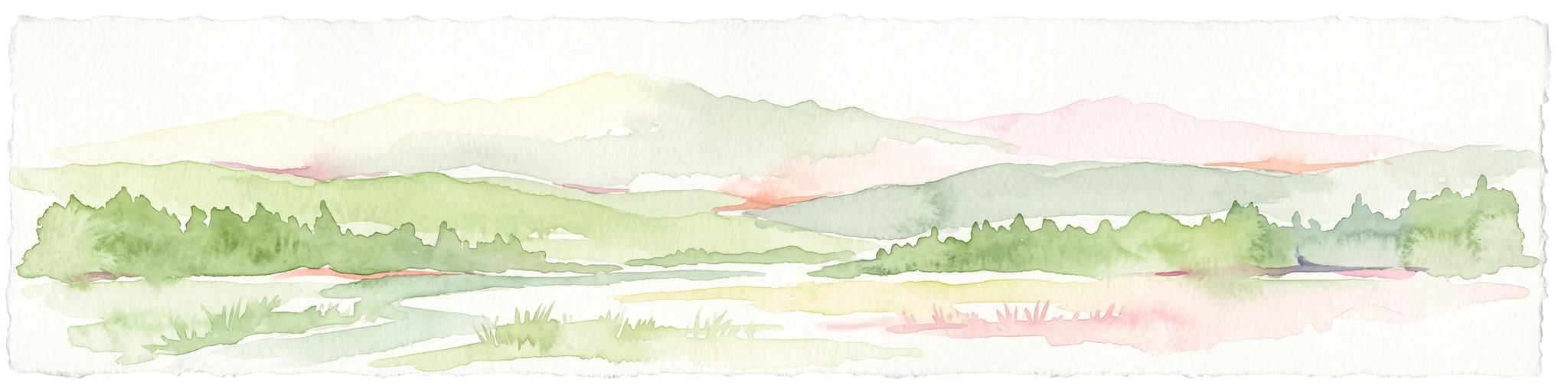
Watercolor painting of soft rolling hills, grassy meadows, and distant mountain ridges in muted green and pink tones.
Nature reserveNorth Rhine-Westphalia
About 22 km away#6 closest

South

Naturschutzgebiet Piusberg: Protected Limestone and Calcareous Grassland Landscape in North Rhine-Westphalia

Mapping cliff habitats and dry grassland ecosystems in Warstein

Naturschutzgebiet Piusberg preserves a dense concentration of limestone geology and thermoophilic habitats across 8.3 hectares. This protected area in North Rhine-Westphalia showcases an instructive terrain gradient, ranging from steep northern rock faces to southern semi-dry meadows, serving as a vital ecological anchor for local biodiversity.

Area
0.083 km²
Established
2000
Relief
Upland
Scope
Terrestrial
A soft watercolor painting depicting a marshy wetland with green meadows, tall grasses, and distant rolling hills on a white background.
Nature reserveKreis Gütersloh
About 22 km away#7 closest

North

Im Binner Nature Reserve: Geographic Overview of the Ems Sand Plain Protected Landscape

Mapped wetlands and meadow habitats in Kreis Gütersloh, Germany

Im Binner is a defined nature reserve that anchors a fragment of the historic Ems sand plain ecosystem. This site encompasses a distinctive mix of wet grasslands, shrub-lined boundaries, and converted aquatic habitats, serving as an essential ecological refuge within the intensively farmed lowland geography of North Rhine-Westphalia.

Area
0.3 km²
Established
1988
IUCN
IV
Protected landscapeKreis Paderborn
About 23 km away#8 closest

Northeast

Landschaftsschutzgebiet Delbrücker Rücken Protected Landscape Map and Regional Context

A rural ridge mosaic in the Kreis Paderborn district

This protected landscape in the Kreis Paderborn district features a characteristic mix of deciduous forests, field hedgerows, and agricultural zones on a gentle Westphalian ridge. Its geographic layout provides a clear example of rural land protection integrated into the local environmental buffer system, showcasing a distinct mosaic of terrain that stretches across the lands north and east of Delbrück.

Area
16.1 km²
Established
1970
Relief
Lowland
Climate
Temperate
Nature reservePaderborn
About 23 km away#9 closest

East

Ziegenberg Nature Reserve: Protected Landscape Geography and Paderborn River Corridors

Mapping the forest ridges and floodplains of Paderborn district.

Discover the geographic composition of Ziegenberg, a nature reserve in Paderborn that blends riparian meadows with stony forest ridges. This protected site demonstrates the complex relationship between municipal expansion, river hydrology, and conservation within the German landscape.

Area
0.81 km²
Established
1980
Relief
Upland
Climate
Temperate
Nature reserveNorth Rhine-Westphalia
About 24 km away#10 closest

East

Ziegenberg Nature Reserve: Geographic Overview and Protected Area Boundaries

Riparian landscapes and calcareous slopes in the Paderborn region

Ziegenberg offers a distinct look at the intersection of calcareous hillside forests and moist stream environments in Germany. The reserve protects a concentrated diversity of habitats ranging from orchid-rich woodland to alluvial streamside corridors, serving as an important ecological link within the Paderborn district's natural geography.

Area
0.028 km²
Established
1984
IUCN
IV
A watercolor landscape illustration showing gentle green hills, clusters of trees, and soft pink and yellow clouds in the background.
Nature reserveNordrhein-Westfalen
About 24 km away#11 closest

Southeast

Naturschutzgebiet Almetal: Landscape Geography and Protected Nature Reserve Mapping

A diverse river valley corridor in North Rhine-Westphalia

Naturschutzgebiet Almetal protects a narrow, structurally varied floodplain along the Alme river. The area is defined by its contrast between open wet meadows, alder woodland, and forested uplands, forming an essential ecological link within the Sauerland region of North Rhine-Westphalia.

Area
0.938 km²
Established
2008
IUCN
IV
Relief
Lowland
A horizontal watercolor painting showing a green valley with a winding river, rolling hills in the background, and grassy foreground.
Nature reserveNordrhein-Westfalen
About 24 km away#12 closest

Southeast

Naturschutzgebiet Oberes Möhnetal: Protected Floodplain and River Corridor Geography

A restored riparian landscape in Nordrhein-Westfalen

Located in the Sauerland, Naturschutzgebiet Oberes Möhnetal preserves an 81-hectare floodplain characterized by its successful LIFE+ river restoration. The area features a complex transition from meandered stream channels to wet meadows and alluvial woodlands, illustrating process-based conservation within the regional Natura 2000 corridor.

Area
0.812 km²
Established
2008
Nature reserveNorth Rhine-Westphalia
About 26 km away#13 closest

South

Naturschutzgebiet Oberes Lörmecketal: Protected Valley Landscapes in North Rhine-Westphalia

Swamp woodland and brook headwater geography

Delve into the landscape composition of Naturschutzgebiet Oberes Lörmecketal, a small yet ecologically significant nature reserve in the Sauerland. This record details the spring-fed valley terrain, alder-dominated wetlands, and the protected brook corridor that serves as a vital connecting point within the regional Natura 2000 network.

Area
0.03 km²
Established
1994
Relief
Upland
Climate
Temperate
A watercolor painting showing a green landscape with a winding river and distant hills under a light pink sky.
Protected landscapeKreis Paderborn
About 27 km away#14 closest

Northeast

Landschaftsschutzgebiet Fließgewässer und Auen: Regional Protected Landscape Overview

Riverine floodplain corridors and valley habitats in Paderborn

This protected landscape in Kreis Paderborn sustains essential habitat connectivity along river valleys including the Lippe and Beke. Its design features a fragmented network of sixteen sub-areas, showcasing how floodplain vegetation, wet meadows, and riparian corridors function within an urban-adjacent environment.

Area
9.583 km²
Established
1999
Relief
Lowland
Scope
Terrestrial
A soft watercolor painting of a serene landscape featuring a small pond in the foreground with gentle hills and trees in the background.
Protected landscapeKreis Paderborn
About 27 km away#15 closest

East

Landschaftsschutzgebiet Büren: A Detailed Look at the Protected Rural Mosaic of Kreis Paderborn

Mapped protected landscapes in the German Westphalian countryside

Landschaftsschutzgebiet Büren spans a wide, undulating terrain in the Kreis Paderborn district, characterized by its durable structure of woodland patches, hedgerows, and headwater springs. The area serves as a key case study in maintaining semi-natural ecological features within an active, working agricultural landscape. Access detailed geographic context on the patterns of this regional protected area and its role in the Westphalian landscape.

Area
142.95 km²
Established
1974
Relief
Mixed relief
Scope
Terrestrial
A soft watercolor painting of a serene, open natural landscape with trees, rolling hills, and a calm body of water in the background.
Nature reserveKreis Soest
About 27 km away#16 closest

Southwest

Möhnesee Nature Reserve: Mapping the Protected Landscapes of Kreis Soest

A vital aquatic sanctuary in the Westphalian Bight.

The Möhnesee nature reserve anchors a significant corridor of forest and water in central Westphalia. This sanctuary manages an expansive reservoir environment, offering a layered ecological profile that provides essential staging territory for migrating waterbirds while integrating with regional Natura 2000 protected networks.

Area
11.888 km²
Established
1983
IUCN
IV
Relief
Mixed relief
A soft watercolor painting of a rolling rural landscape with distant hills, scattered trees, and pastoral fields in shades of green, yellow, and red.
Protected landscapeHochsauerlandkreis
About 28 km away#17 closest

South

Landschaftsschutzgebiet Briloner Kalkplateau und Randhöhen: Protected Area Geography

Limestone plateau and mining heritage in Hochsauerlandkreis

Discover the geographic character of Landschaftsschutzgebiet Briloner Kalkplateau und Randhöhen, a significant protected area covering upland forests and limestone terrain. Analyze its role as a buffer zone and the historical influence of regional mining on its mapped surface and natural landscape structure.

Area
16.578 km²
Established
2008
Relief
Upland
Climate
Temperate
Watercolor illustration of a calm lake surrounded by low, rolling green hills and a forested shoreline with wildflower foreground.
Protected landscapeHochsauerlandkreis
About 29 km away#18 closest

Southwest

Landschaftsschutzgebiet Arnsberg: Protected Landscape and Regional Geography

Forested hills and historical cultural landscape in Hochsauerlandkreis

Landschaftsschutzgebiet Arnsberg encompasses a complex network of 219 separate sub-areas across the rolling hills of the Sauerland region. This protected landscape preserves important ecological functions through its vast spruce and beech forests while buffering nearby natural reserves. Its mosaic structure and historical mining relics offer a unique view into the development of the forested landscape bordering the city of Arnsberg.

Area
57.958 km²
Established
1998
Relief
Upland
Climate
Temperate
A soft, pastel-toned watercolor painting of a rolling rural landscape with low hills, sparse trees, and a winding path.
Nature reserveNorth Rhine-Westphalia
About 30 km away#19 closest

South

Naturschutzgebiet Schnettenberg: Protected Juniper Heath and Ridge Geography in Sauerland

Historic German nature reserve in North Rhine-Westphalia

Covering more than 1,000 metres of ridge terrain, this nature reserve maintains essential dry grassland and juniper communities within the Hochsauerlandkreis. The area provides a vital study of transition zones between open farmland and wooded valley slopes, illustrating the ongoing conservation of light-dependent habitats in modern Germany.

Area
0.045 km²
Established
1938
IUCN
IV
Nature reserveNordrhein-Westfalen
About 30 km away#20 closest

South

Naturschutzgebiet Ochsenberg: Landscape and Geographic Profile of a German Nature Reserve

Examining forest reclamation on historic slate mine terrain

Located in the Hochsauerlandkreis, Naturschutzgebiet Ochsenberg serves as a case study in ecological succession. The reserve features an intricate mosaic of oak and beech woodland established over old spoil tips, while its abandoned mine tunnels remain essential for regional biodiversity as wintering habitats for protected bat species.

Area
0.124 km²
Established
2004
Relief
Upland
Scope
Terrestrial
Distance methodology

Geographic measurements, not driving distances

How nearby park distances are calculated

Distances use park boundaries whenever the available geometry allows it. When one or both boundaries are missing, the mapped park locations provide a clearly labelled estimate. Every value represents straight-line geographic separation and does not use roads or routing.

Boundary distance

Calculated between the nearest points of both park boundaries.

Location-to-boundary estimate

Estimated from one mapped park location to the nearest boundary of the other park.

Mapped-location estimate

Estimated between the mapped locations of both parks.

MoriAtlas Explorer

Explore the Geographic Boundaries and Wetland Features of Muckenbruch Nature Reserve

Continue mapping the unique terrain and conservation status of Muckenbruch. This MoriAtlas destination provides a structured overview of the lowland peat bog landscape, its hydrologic significance within North Rhine-Westphalia, and the active restoration processes shaping its protected boundaries.

Global natural geography