Why Munghorn Gap Nature Reserve stands out
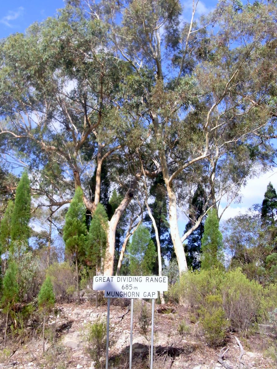
Munghorn Gap is best known for the meeting of eastern and western Australian flora and fauna along the Great Dividing Range. Its low position on the divide brings moist mountain forest species into contact with drier inland species, producing an unusually broad mix of wildlife, including around 164 recorded bird species. The reserve is also recognized for its striking pagoda-like sandstone formations, exposed along the Castle Rocks walking trail, and for its importance as part of the Mudgee-Wollar Important Bird Area. Munghorn Gap is noted in particular for its role in supporting the endangered regent honeyeater, making it a destination of conservation and birdwatching significance.
Munghorn Gap Nature Reserve history and protected-area timeline
Munghorn Gap Nature Reserve was formally established in April 1961 as a protected area under the management framework that would later become part of the NSW National Parks and Wildlife Service. Its establishment reflected growing recognition of the ecological significance of the site, particularly its position on one of the lowest crossings of the Great Dividing Range and the unusual meeting of eastern and western flora and fauna found there.
Long before it was gazetted as a nature reserve, the area had a long human history. The western Wiradjuri people travelled through the range here, using the gap as part of a route that connected them with other Indigenous groups living east of the divide. Trade between communities on either side of the range passed through this corridor, making the gap a meeting point as much as a geographical feature.
In the 19th century, Europeans also used the gap as a crossing through the mountains, moving between the tablelands and the inland plains on horseback and with bullock teams. Evidence remains of this period of use in the landscape, including traces of peat and coal mining, wood cutting, quarrying, prospecting, and blacksmithing. Together these layers of Indigenous travel, pastoral movement, and extractive use give Munghorn Gap a layered cultural and industrial heritage that sits beneath its present-day role as a strict nature reserve.
Munghorn Gap Nature Reserve landscape and geographic character
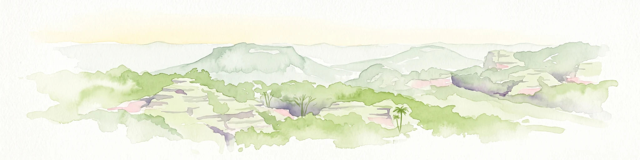
The landscape of Munghorn Gap Nature Reserve is defined by its position on the Great Dividing Range and its exposed sandstone geology. The reserve sits on one of the lowest sections of the range, and this relatively low elevation, combined with rugged terrain, gives the area a varied but distinctly ridgeline character. The land rises in rough, weathered formations, broken by creek lines and small valleys that carry water in very different directions depending on which side of the divide they begin.
The most visually distinctive element of the landscape is the pagoda-like sandstone formations that occur along parts of the range. These weathered rock structures resemble stacked stone turrets and pillars, shaped by long exposure to wind and rain. The Castle Rocks walking trail passes through this scenery, allowing visitors to experience the formations up close. Surrounding the rock formations are ridges and slopes clothed in eucalypt forest and Callitris pine woodland, giving the landscape a dry, open character typical of the Central Tablelands.
Because the reserve occupies a low point on the Great Divide, water that falls on the eastern side of the reserve eventually feeds streams that reach the Hunter River and flow toward the coast, while water that falls on the western side travels much further across inland New South Wales to reach the Darling River system. This contrast in catchment is one of the defining geographical features of the park and shapes both its landscape and ecological character.
Munghorn Gap Nature Reserve ecosystems, habitats, and plant life
The natural environment of Munghorn Gap Nature Reserve is shaped by its unusual geographical position at one of the lowest points of the Great Dividing Range. The reserve sits where the high country of eastern Australia dips low enough to allow a genuine meeting between two normally distinct ecological worlds: the moist, forested slopes of the eastern ranges and the drier woodland and plains environments of the inland west. As a result, the park hosts a blend of plant and animal species that, in neighbouring areas, would be confined to one side of the divide or the other.
Vegetation across the reserve is dominated by eucalypt forest and Callitris pine woodland, with understorey plants characteristic of both mountain and inland environments. This combination gives the park an unusual forest structure, varying from denser, wetter associations in sheltered eastern gullies to more open, drought-tolerant woodland on the western slopes and ridges.
Because the reserve lies on the boundary between these two ecological regions, many plants and animals are at the eastern or western limit of their natural distribution. This makes Munghorn Gap an unusually useful natural area for observing transitions in Australian vegetation and wildlife, and gives the park an ecological identity that is more about mixing and overlap than about a single dominant habitat type.
Munghorn Gap Nature Reserve wildlife and species highlights
Wildlife is one of the defining features of Munghorn Gap Nature Reserve. The park supports a notably high diversity of birdlife, with around 164 bird species recorded within its boundaries. This diversity reflects the reserve's position on the Great Dividing Range, where eastern forest environments meet the drier habitats of inland Australia.
Typical eastern forest and mountain birds are present, including the superb lyrebird and the satin bowerbird, both of which are characteristic of the moister wooded ranges of eastern New South Wales. At the same time, species more often associated with the inland and the country west of the divide also occur here, including emus and cockatiels. The coexistence of these species, which rarely overlap elsewhere, is one of the park's most distinctive ecological features.
Munghorn Gap has particular significance for the endangered regent honeyeater, and the reserve lies within the Mudgee-Wollar Important Bird Area, a site recognized by BirdLife International specifically because of its importance for this species. Birdwatching facilities are available in the reserve, and the site has become a recognized destination for those interested in Australian woodland and forest birdlife.
Munghorn Gap Nature Reserve conservation status and protection priorities
Munghorn Gap Nature Reserve is classified as a strict nature reserve under the international IUCN system, equivalent to Category Ia, which represents the highest level of protection for a terrestrial protected area. It has been managed since its establishment in April 1961 by what is now the NSW National Parks and Wildlife Service, and continues to receive that protection status today.
The reserve's conservation importance is closely tied to its geography. By occupying a low crossing of the Great Dividing Range, the reserve maintains a rare natural transition zone between eastern and western Australian ecosystems. Many of the plants and animals present here are at the limit of their natural range, making the site valuable for protecting species at the edge of their distribution as well as for the integrity of the broader dividing range ecosystem.
The reserve also forms part of the Mudgee-Wollar Important Bird Area, identified by BirdLife International because of its importance for the endangered regent honeyeater. This international recognition underlines the role of Munghorn Gap not just as a local refuge for woodland and forest birds, but as part of a wider conservation network focused on a threatened Australian species.
Munghorn Gap Nature Reserve cultural meaning and human context
Munghorn Gap carries a layered cultural heritage shaped by both Indigenous and European use of this low crossing through the Great Dividing Range. For the western Wiradjuri people, the gap represented an important route through what was otherwise a major natural barrier. Wiradjuri travellers passed through Munghorn Gap to trade with other Indigenous groups living on the eastern side of the divide, giving the site a long-standing significance as a meeting place between communities.
During the 19th century, European settlers also relied on the gap as a practical crossing. They moved across the range on horseback and with bullock teams, opening the way for travel, settlement, and resource use between the tablelands and the inland plains. Evidence of this period remains visible in the landscape, in the form of old workings related to peat and coal mining, wood cutting, quarrying, prospecting, and blacksmithing.
Together, these layers of Aboriginal travel, European pastoral transit, and small-scale extractive use give Munghorn Gap a broader cultural identity beyond its natural values, and connect the present protected area with a longer history of human movement across the Great Divide.
Top sights and standout views in Munghorn Gap Nature Reserve
One of the most distinctive features of Munghorn Gap Nature Reserve is its position on one of the lowest crossings of the Great Dividing Range, allowing eastern and western Australian species to occur together in a single protected area. This makes the reserve an unusual example of an ecological transition zone on the Australian mainland.
The reserve is also notable for its pagoda-like sandstone formations, visible along the Castle Rocks walking trail, and for its mix of eucalypt and Callitris pine woodland. With roughly 164 bird species recorded, and a formal place within the Mudgee-Wollar Important Bird Area recognized for the endangered regent honeyeater, Munghorn Gap stands out as both a birdwatching destination and a significant conservation site in inland New South Wales.
Best time to visit Munghorn Gap Nature Reserve
Munghorn Gap Nature Reserve has an open woodland and sandstone character that is influenced by the climatic contrast between the eastern ranges and the inland plains. Spring is generally one of the most rewarding periods to visit, when milder temperatures, flowering eucalypts and understorey plants, and greater bird activity combine to make the reserve feel especially alive. Birdwatchers in particular often favour this season because woodland and forest birds, including honeyeaters, are typically more active and visible.
Autumn offers cooler, drier conditions and clear views across the sandstone ridges and pagoda formations along the Castle Rocks walking trail. Summer in the Central Tablelands can be hot, and conditions on exposed rock can be harsh, while winter tends to be cool and quiet, with shorter days. Across all seasons, the low elevation of the gap on the divide means conditions are generally milder than in higher parts of the surrounding ranges, while still carrying the mix of inland and mountain influences that defines the reserve's character.