Mori Atlas logo
Park earthquake history

A structured catalogue of seismic records associated by epicentre proximity to the protected landscape

Recorded Historical Earthquake Activity Near Myall Lakes National Park in New South Wales

Explore the historical collection of recorded seismic activity geographically associated with Myall Lakes National Park. This catalogue provides transparent access to documented event data, including specific magnitude measurements, depth metrics, and calculated distances from the park boundaries. Each record serves as a factual reference point for understanding local earthquake history across the New South Wales central coast without implying future seismic hazard or activity patterns.

Related tags

coastal national parksRamsar wetlandsNew South Waleslittoral rainforestsand dunes

Coastal lake system with Ramsar-listed wetlands on the central coast of New South Wales

Myall Lakes National Park

Myall Lakes National Park protects one of New South Wales' largest coastal lake systems along the state's central coast, approximately 236 kilometres north of Sydney. The park encompasses a complex network of freshwater lakes, tidal waterways, coastal islands, and sandy beaches that together create a diverse mosaic of coastal and wetland habitats. Established in 1972, the park spans roughly 448 square kilometres and includes Broughton Island, adding marine and island ecosystems to its protected holdings. The area holds significant ecological value as a Ramsar-listed wetland site since 1999, recognizing its international importance as a habitat for migratory birds and its role in coastal ecosystem function. Beyond its natural significance, the park contains important Aboriginal heritage sites reflecting thousands of years of continuous connection between the Worimi Aboriginal people and this landscape.

Location
Australia
Park type
National park
Established
1972
Area
448 km²
Myall Lakes National Park Protected Area Atlas

Navigate Myall Lakes National Park records and distances

Browse historical earthquake data near Myall Lakes National Park

Myall Lakes National Park covers 448 km² of temperate Australian lowland lakes, wetlands, forest, dunes, beaches, and coast. Associated earthquakes are spatially matched source observations, so compare their dates, magnitudes, depths, places, and park distances without interpreting proximity as lake or coastal impact, current danger, or a forecast.

Sort by
Magnitude
Location

This page describes catalogued earthquakes associated with the park by epicentre location and distance. It does not establish causation, assess current danger, or predict future earthquakes.

No earthquake records match the current filters

Park atlas

Continue past Myall Lakes National Park earthquake data

Discover more protected parks after Myall Lakes National Park

Myall Lakes National Park covers 448 km² of Australian lowland lakes, coast, beaches, dunes, wetlands, and forest. Its related park links lead to independent earthquake catalogues and do not assert shared coastal terrain, comparable ecological effects, present hazard, or future activity.
National parkNew South Wales
0 km away#1 closest

Northwest

Ghin-Doo-Ee National Park: National Park Protected Area Exploration in New South Wales

Mapped landscape and regional geography for Ghin-Doo-Ee National Park.

Ghin-Doo-Ee National Park represents a key component of Australia's protected lands, situated within the diverse geography of New South Wales. This park offers a structured point of entry for understanding its specific mapped boundaries, terrain characteristics, and its role as a national park. Users can delve into its unique landscape features and regional geographic context, contributing to a broader appreciation of conservation areas and natural atlas exploration.

Area
47.936 km²
Established
1999
IUCN
II
Relief
Upland
National parkNew South Wales
1.3 km away#2 closest

Southwest

Tomaree National Park: New South Wales National Park with Defined Protected Boundaries

Explore its mapped geography and regional landscape context.

Tomaree National Park represents a significant protected landscape within New South Wales, Australia. This national park entry focuses on its distinct geographic features and mapped boundaries, offering a clear point of reference for atlas-based exploration. Understand its place in the regional geography of New South Wales and its identity as a conserved natural area. The detailed mapping and contextual data provide a solid foundation for appreciating this protected landscape.

Area
23.18 km²
Established
1984
IUCN
II
Relief
Lowland
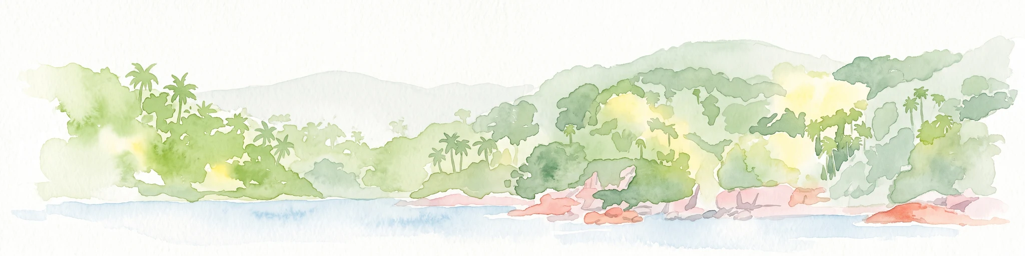
A watercolor painting showing a green forested island shoreline with palm trees and rocky outcrops bordered by blue water against a white background.
Nature reserveNew South Wales
About 2.9 km away#3 closest

Southwest

Cabbage Tree Island (John Gould Nature Reserve) Protected Area and Coastal Island Geography

Rugged island terrain and coastal conservation landscapes in New South Wales.

Cabbage Tree Island (John Gould Nature Reserve) represents a significant coastal nature reserve located off the New South Wales mainland. The island is defined by its steep 123-metre ridge, rocky scree fields, and specialized cabbage tree palm vegetation. As a dedicated protected area, the island provides a crucial sanctuary for rare seabird populations, showcasing the intersection of isolated island geography and active habitat management.

Area
0.3 km²
IUCN
IV
Relief
Upland
Access
Highly restricted
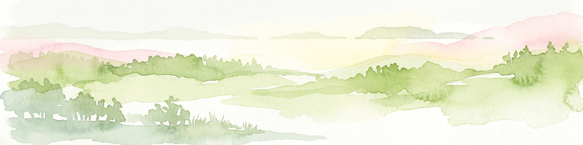
A soft, watercolor painting of a green, rolling island landscape with misty hills under a pale, warm sky.
Nature reserveNew South Wales
About 3.1 km away#4 closest

South

Boondelbah Island Nature Reserve: Geography and Coastal Conservation Profile

A rugged island reserve within the New South Wales coastal landscape

Discover the physical terrain and protected-area status of Boondelbah Island, located off the coast of New South Wales. This reserve features sheer cliffs and coastal shrubland, serving as a vital, highly controlled sanctuary for threatened seabird breeding programmes. Its geographic placement and restricted status make it a foundational element in regional conservation, highlighting the importance of protected marine-adjacent landscapes.

Area
0.14 km²
IUCN
Ia
Relief
Lowland
Climate
Subtropical
National parkNew South Wales
3.8 km away#5 closest

Northeast

Wallingat National Park: Explore Protected Landscape and Regional Geography in New South Wales

Discover mapped park boundaries and terrain context.

Wallingat National Park in New South Wales is a protected landscape crucial for understanding Australia's natural geography. This canonical page detail provides essential information for atlas exploration, focusing on the park's protected status, mapped contours, and its place within the regional context. Discover the unique geographic features that distinguish this national park from others in the atlas.

Area
65.57 km²
Established
1999
IUCN
II
Relief
Lowland
National parkNew South Wales
7.2 km away#6 closest

Northeast

Booti Booti National Park: New South Wales National Park Protected Landscape Atlas

Mapped boundaries and regional geography for this Australian national park.

Delve into the specifics of Booti Booti National Park, a designated national park within New South Wales, Australia. This resource facilitates a detailed understanding of its protected area status, landscape characteristics, and precise geographic placement. Explore its mapped features and regional context to enrich your atlas-based discovery of Australia's protected lands.

Area
15.67 km²
Established
1992
IUCN
II
Relief
Highland
Nature reserveNew South Wales
About 18 km away#7 closest

Northwest

The Glen Nature Reserve: Protected Forest Geography and Mapped Sanctuary in New South Wales

Conservation-focused landscape in the Hunter Region

Covering over 2,700 hectares, The Glen Nature Reserve protects a rich mosaic of sub-tropical sclerophyll forest and creek-lined gullies in the Hunter Region. The reserve provides essential habitat for threatened wildlife and represents a key node in the protected land network of eastern New South Wales, highlighting the intersection of forest types and local watershed topography.

Area
27.5 km²
Established
1999
IUCN
Ia
Relief
Upland
Nature reserveNew South Wales
About 20 km away#8 closest

Northeast

Wallis Island Nature Reserve: Estuarine Protected Landscapes of the New South Wales Coast

Coastal heath, lagoon systems, and wetland habitat geography

Spanning over 580 hectares, Wallis Island Nature Reserve anchors the protective network around Wallis Lake. The site is defined by its characteristic wet heathland and swamp terrain, offering a clear geographic look at Australia's estuarine island environments and the layered history of coastal land management.

Area
5.84 km²
Established
1983
Relief
Lowland
Scope
Terrestrial
MoriAtlas Explorer

Continue Exploring Myall Lakes National Park's Mapped Landscape and Regional Geography

Deepen your understanding of Myall Lakes National Park by exploring its specific geographic setting and protected landscape features. This detailed atlas perspective helps contextualize the park within New South Wales and its broader natural geography, offering insights beyond its immediate boundaries for comprehensive discovery.