Mori Atlas logo
Nearby park discovery

Map-based regional discovery of nearby protected landscapes and natural environments

Geographic Context and Surrounding Protected Areas of Naturpark Maribosøerne, Denmark

Identify protected areas and natural sites situated within the geographic proximity of Naturpark Maribosøerne on the island of Lolland. This overview provides spatial context for nearby landscapes, helping to trace regional boundaries and the distribution of conserved terrain across southern Denmark.

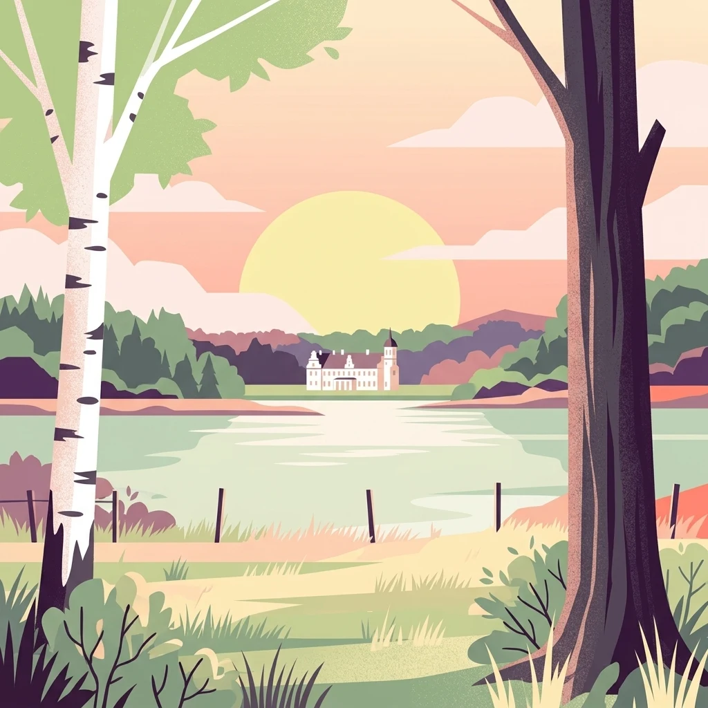
A flat vector illustration showing a calm lake scene at sunset, framed by a birch tree on the left and a dark-trunked tree on the right, with a large mansion visible across the water.

A network of glacial lakes and forested estates on the Danish island of Lolland.

Naturpark Maribosøerne

Naturpark Maribosøerne is a Danish nature park on the island of Lolland, built around a cluster of four interconnected lakes near the town of Maribo. The lakes consist of Søndersø, Røgbølle Sø, Hejrede Sø, and Nørresø, which together form a sizable freshwater surface surrounded by extensive forest, bog areas, and cultivated farmland. The setting is shaped by the last ice age, with irregular shorelines, small bays, and some of Lolland's highest hills framing the water. The park blends a managed cultural landscape with valuable natural habitats. Historic manor estates such as Søholt, Ulriksdal, and Engestofte line the shorelines, while the lakes and surrounding wetlands have become recognized as an important area for both wildlife and conservation. Public access exists on a group of small islands owned by Lolland Municipality, complementing a broader protected landscape that draws visitors interested in tranquil scenery, birdlife, and the gentle character of southern Danish countryside. The area is significant not only for its scenery but also for its ecological value. It is part of a Natura 2000 site designated as both a habitat area and a bird protection area, and a large tract around the lakes has been under nature protection since the mid-twentieth century. The combination of glacial geology, estate landscapes, freshwater ecosystems, and formal conservation status gives the park a layered identity that links natural heritage with cultural land use.

Location
Denmark
Park type
Protected landscape
Established
1957
Area
11.4 km²
Naturpark Maribosøerne Landscape
Regional park map

See the ranked park cluster in its geographic setting

Nearby parks around Naturpark Maribosøerne

This regional map shows the same 20 nearby parks ranked below around Naturpark Maribosøerne. Select a ranked marker to highlight that park’s boundary where boundary data is available.
Reference park: Naturpark MaribosøerneRanked nearby park20 nearby parks shown
20 nearby parks

Ranked distance metrics and regional environmental comparisons across nearby protected landscapes

Parks and Protected Areas Geographically Near Naturpark Maribosøerne

Geographic distance measurements establish a ranked collection of protected areas surrounding Naturpark Maribosøerne for structured regional comparison. Recorded environmental characteristics and country context illuminate broader landscape patterns without assuming shared ecological traits across every mapped boundary.
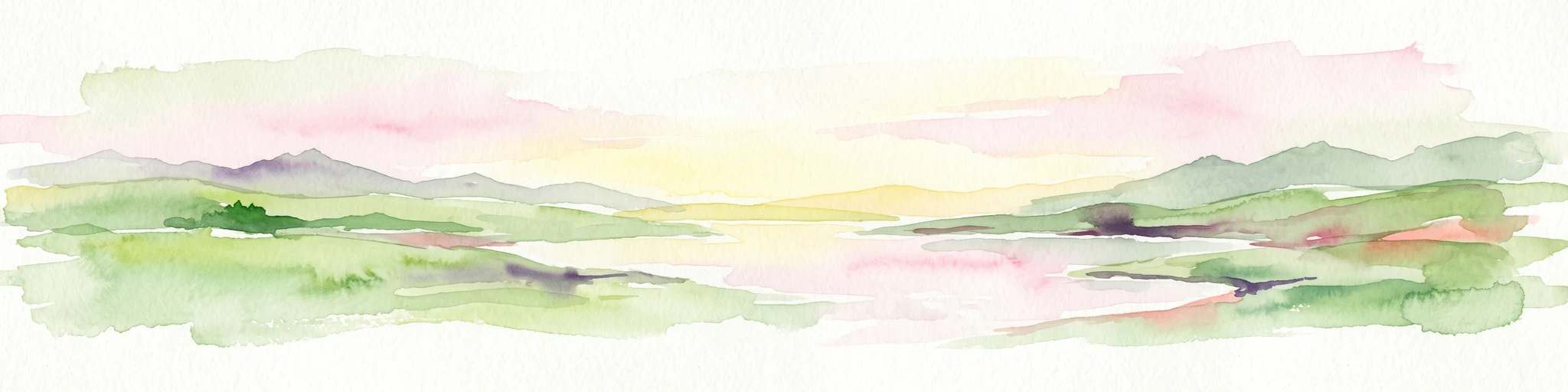
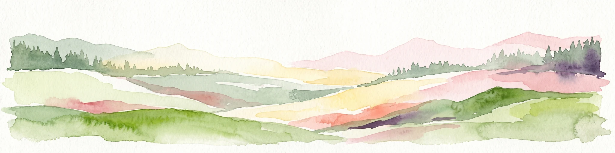
A watercolor painting of a rolling coastal landscape with green fields, sparse trees, a winding water channel, and soft pink and yellow sky.
Nature reserveLolland
About 16 km away#1 closest

South

Saksfjed-Hyllekrog Nature Reserve: Coastal Geography and Protected Landscapes of Southern Lolland

Mapped protected wetlands, coastal spits, and polder terrain in southern Denmark.

The Saksfjed-Hyllekrog nature reserve protects a mosaic of woodland, coastal meadows, and shorelines on the southern coast of Lolland. This geographic record details the reserve's polder embankments, the Hyllekrog coastal spit, and the interaction between reclaimed land and open marine waters, highlighting its importance as a Ramsar and Natura 2000 site.

Area
2.174 km²
Established
1995
Relief
Lowland
Climate
Temperate
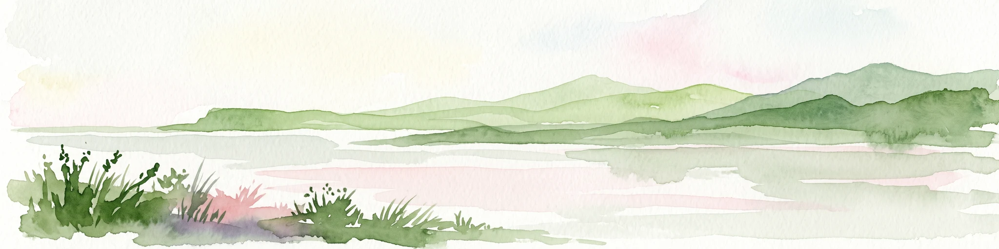
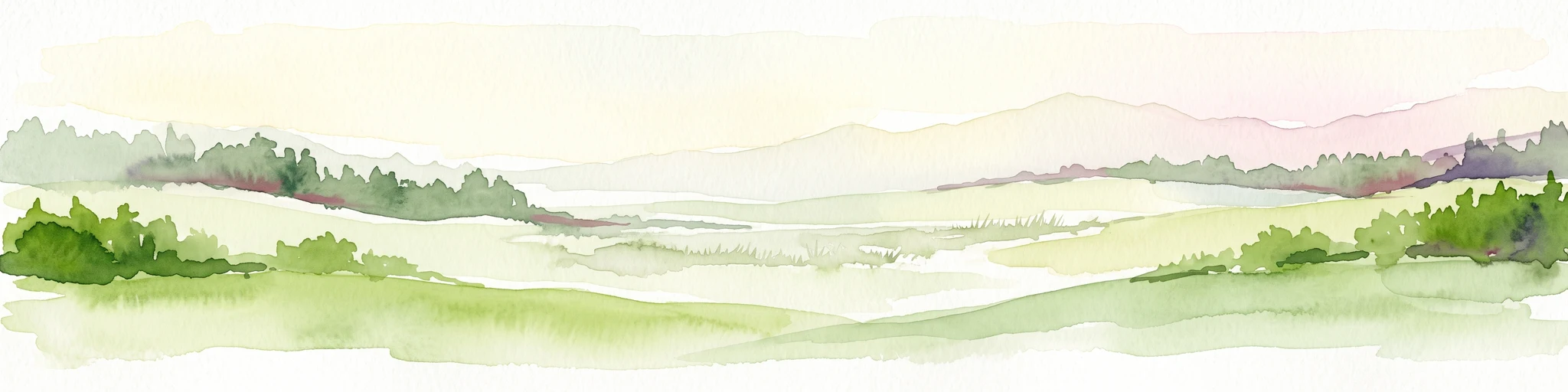
A soft watercolor illustration of a coastal landscape with rolling green hills and pink and yellow sky reflected in calm water.
Nature reserveGermany
About 25 km away#2 closest

Southwest

Fehmarnbelt Nature Reserve: Exploring Marine Geography and Protected Baltic Sea Habitats

Submerged trench, boulder reefs, and marine migration corridors

Fehmarnbelt is an ecologically significant nature reserve in the German Baltic Sea, recognized for its role in water exchange between two major seas. The area features a deep trench, dynamic megaripple formations, and boulder reefs that support complex benthic communities. This site stands as a key protected landscape for marine biodiversity and harbor porpoise preservation within the region.

Area
280 km²
Established
2017
Relief
Lowland
Climate
Temperate
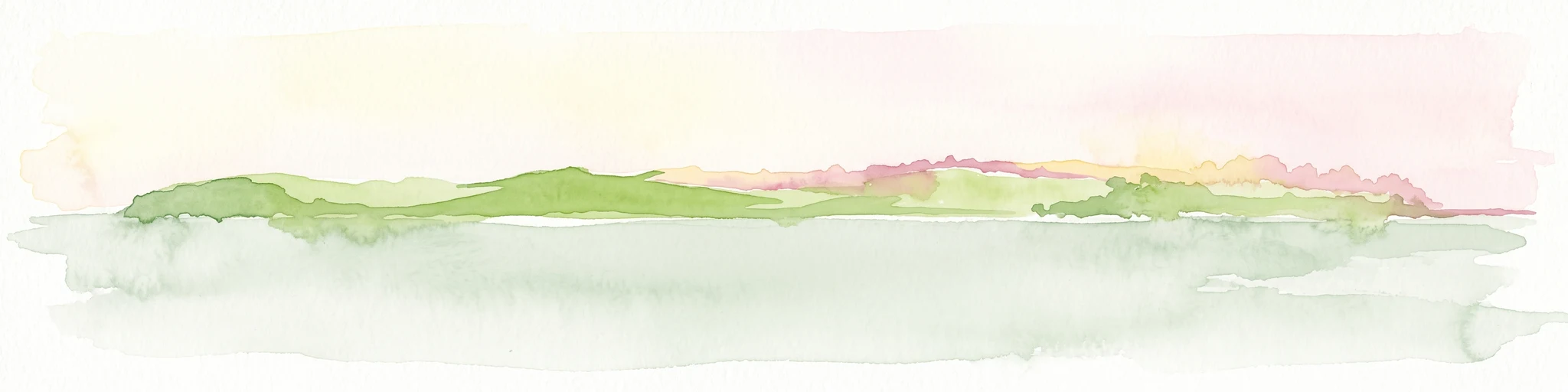
A horizontal watercolor painting showing a soft green shoreline in the foreground and rolling hills across the water in the distance.
Nature reserveNaestved Municipality
About 44 km away#3 closest

North

Dybsø Nature Reserve: Protected Coastal Landscape in Naestved Municipality

Geographic atlas of a protected Danish barrier island

Dybsø is a distinct barrier island situated off the coast of Zealand. Its protected landscape consists of open grasslands, coastal reed beds, and freshwater ponds that shelter the shallow waters of the fjord system. As a designated nature reserve, the area represents a critical wildlife refuge, maintained through traditional grazing to preserve its unique maritime terrain and geological history.

Area
1.34 km²
Established
1978
Relief
Lowland
Climate
Temperate
Wildlife reserveDenmark
About 45 km away#4 closest

North

Dybsø Fjord Wildlife Reserve: Coastal Geography and Protected Wetland Map in Denmark

A shallow fjord system on the southwestern coast of Zealand

Dybsø Fjord represents a primary protected landscape in Denmark, featuring a broad and exceptionally shallow lagoon environment. By tracing its boundaries and surrounding peninsulas, users can analyze a critical wetland habitat that supports international bird protection networks and reflects the unique coastal scenery of the Baltic region.

Area
17 km²
Established
1940
Relief
Lowland
Scope
Mixed
Nature reserveDenmark
About 54 km away#5 closest

North

Stigsnæs-Borreby-Basnæs Nor Nature Reserve: Mapped Geography and Coastal Landscape Context

Protected wetlands and migration corridors in southern Denmark

Stigsnæs-Borreby-Basnæs Nor encompasses a complex interplay of manor-influenced farmland, reed-fringed shallows, and essential marshlands. This nature reserve functions as a critical funnel for migratory raptors and waterfowl on the southwestern edge of the Zealand coast. The area integrates deep cultural history with internationally recognized habitats, offering a clear window into the coastal terrain and wetland structure of the region.

Area
12.15 km²
Established
1978
Relief
Lowland
Scope
Mixed
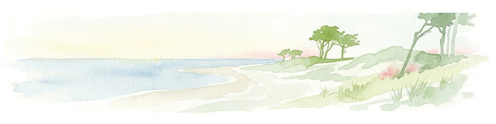
Watercolor illustration showing a coastal lagoon with sandy shoreline, calm water, sand dunes, and sparse vegetation including trees and grasses
National parkMecklenburg-Vorpommern
About 69 km away#6 closest

East

Western Pomerania Lagoon Area National Park: Detailed Geographic and Protected Landscape Context

Explore its mapped boundaries and unique Baltic Sea coastal geography.

Western Pomerania Lagoon Area National Park is a vital protected landscape in Mecklenburg-Vorpommern, renowned for its complex network of peninsulas, islands, and extremely shallow brackish 'bodden' waters. This page serves as an atlas entry, detailing the park's geographic features, its distinctive wind-driven water level fluctuations, and its ecological importance as a major migratory bird staging area. Users can investigate the mapped extent of this significant German national park and understand its unique place within the regional geography.

Area
805 km²
Established
1990
IUCN
II
Relief
Lowland
Nature reserveFaxe Municipality
About 76 km away#7 closest

Northeast

Bagholt Mose: Protected Peatland Mosaic and Fen Geography in Faxe Municipality, Denmark

A high-value Natura 2000 protected wetland and bog habitat.

Bagholt Mose is a significant nature reserve situated within the Munkeskov forest of southern Zealand. The landscape features a distinct combination of historical peat cuttings and raised bog remnants, which together form a rare mosaic of nutrient-poor and calcareous fen communities that support an exceptional diversity of lowland bog flora.

Area
0.17 km²
Established
1985
Relief
Lowland
Scope
Terrestrial
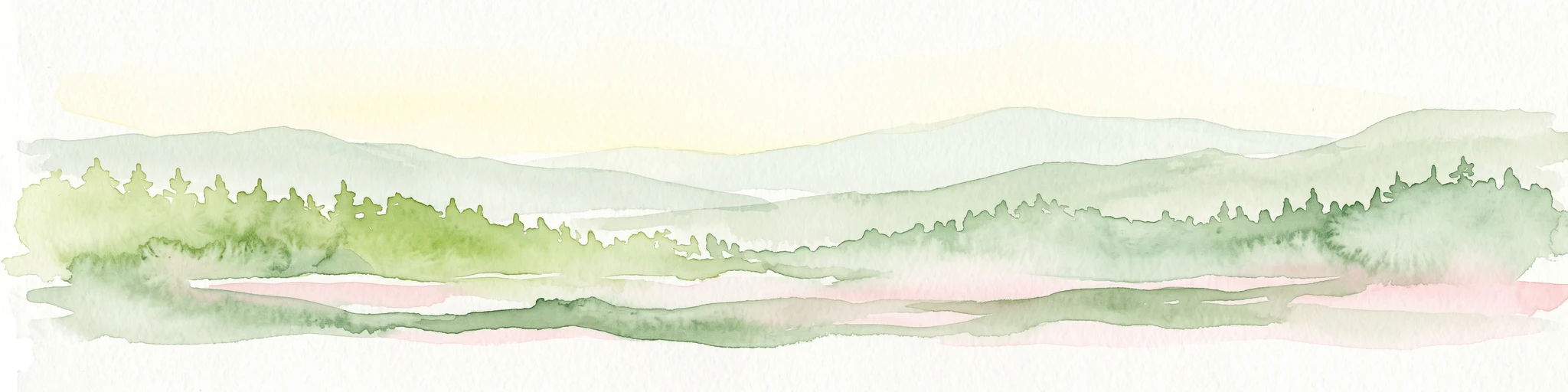
A soft watercolor illustration showing a hazy green landscape with rolling hills, a line of trees, and a calm body of water in the foreground.
Nature reserveKalundborg Municipality
About 90 km away#8 closest

North

Flasken Nature Reserve: Mapped Protected Landscapes in Kalundborg Municipality

Coastal river mouths and brackish lagoon ecology

Flasken stands as a significant protected nature reserve in western Denmark, defined by the confluence of the Halleby Å river and the Storebælt. This mapped landscape provides essential context for understanding the long-term coastal geomorphology of the Reersø tombolo and the wider wetland ecosystems of the Åmosen basin.

Established
1979
Relief
Lowland
Climate
Temperate
Access
Access unknown
Nature reserveSolrød Kommune
About 96 km away#9 closest

Northeast

Staunings Ø Nature Reserve: Exploring the Coastal Geomorphology of Solrød Kommune

A mapped barrier spit and wetland habitat on the eastern Zealand shoreline.

Staunings Ø functions as a textbook example of a coastal sand bar accretion in the shallow waters of Køge Bugt. This nature reserve protects a vital sequence of dunes, lagoons, and reedbeds that provide a clear view of coastal succession. Located near the urban edge of Solrød Kommune, it serves as a key site for understanding the interaction between natural coastal landforms and maritime environments in eastern Denmark.

Area
0.6 km²
Established
1999
Relief
Lowland
Climate
Temperate
Protected landscapeSchleswig-Holstein
About 96 km away#10 closest

Southwest

Naturpark Holsteinische Schweiz: Geographic Atlas of a Northern German Protected Landscape

Lake-dense glacial regions and forest habitats in Schleswig-Holstein.

Spanning 75,000 hectares across the districts of Ostholstein, Plön, and Segeberg, Naturpark Holsteinische Schweiz offers a rich look at a classic post-glacial landscape. This structured overview details the park's intricate network of lakes, winding streams like the Schwentine, and restored peatlands that support essential waterbird habitats. Gain a deeper understanding of the park's topography, from the Bungsberg ridges to the expansive lowland depressions that define this region.

Area
753.28 km²
Established
1986
Relief
Upland
Climate
Temperate
Nature reserveKalundborg Municipality
About 105 km away#11 closest

North

Saltbæk Vig Nature Reserve: Geography and Protected Wetland Landscapes in Kalundborg Municipality

A brackish lagoon basin shaped by historic land reclamation efforts.

Saltbæk Vig is a major coastal water body on the northwestern edge of Zealand, Denmark, defined by shallow waters and low-lying wetland terrain. This nature reserve serves as an important regional landmark, where historic drainage embankments now form unique boundaries that define the lagoon's ecological character and protected status.

Area
26 km²
Established
1992
Relief
Lowland
Climate
Temperate
Wildlife reserveSchleswig-Holstein
About 106 km away#12 closest

West

Vogelschutzgebiet Schlei: Protected Brackish Coastal Landscapes and Fjord Geography

Wildlife reserve mapping within the Schleswig-Holstein region

Vogelschutzgebiet Schlei acts as a critical wildlife reserve along the Baltic coastline, characterized by a 40-kilometer fjord system. The protected area encompasses varied terrain including shallow sand flats, freshwater fens, and dense beech woodlands. Analyze the geographical extent of this Natura 2000 corridor and explore how its salt marshes and reedbeds serve as central features within the Schleswig-Holstein coastal landscape.

Area
86.86 km²
Established
1997
IUCN
IV
Nature reserveSchleswig-Holstein
About 106 km away#13 closest

Southwest

Wald nordwestlich Boksee Nature Reserve: Geographic Atlas and Protected Landscape Mapping

Ancient deciduous woodland within the Schleswig-Holstein moraine region

Wald nordwestlich Boksee stands as a protected nature reserve representative of Central European beech and oak ecosystems. Situated in the Plön district of Schleswig-Holstein, the site offers a detailed look at glacial moraine landscapes, historic boundary embankments, and the ecological management of ancient woodland habitats. This overview provides mapping context and structural insights into the forest's role within the local biodiversity corridor.

Area
0.25 km²
Established
2004
Relief
Upland
Climate
Temperate
Nature reserveSchleswig-Holstein
About 113 km away#14 closest

Southwest

Tarbeker Moor Nature Reserve and Glacial Peatland Basin Geography

A restored wetland landscape in Schleswig-Holstein, Germany

Tarbeker Moor functions as a crucial nature reserve that showcases the successful rewetting of a former industrial peatland. Located in a shallow glacial meltwater channel north of Bad Segeberg, the park offers a distinct study in landscape recovery, featuring a dense mosaic of open water, floating vegetation, and diverse amphibian habitats.

Area
1.31 km²
Established
2004
Watercolor painting of the island of Nekselø showing green hills rising above a pale sea against a light sky.
Nature reserveKalundborg Kommune
About 115 km away#15 closest

North

Nekselø Nature Reserve: An Atlas Entry for the Unique Steppe-Climate Island in Denmark

Coastal geography and protected wetland terrain in Kalundborg Kommune

Nekselø represents a distinctive protected area in Denmark, where a unique microclimate creates favorable conditions for diverse, warmth-loving flora and fauna. As a managed nature reserve in Kalundborg Kommune, it offers a compelling study in island geography and small-scale, community-led conservation efforts within the international Ramsar and Natura 2000 protected frameworks.

Area
2.2 km²
Established
1951
Relief
Lowland
Scope
Mixed
Protected landscapeAls
About 119 km away#16 closest

West

Naturpark Nordals: Protected Landscape and Glacial Geography on the Island of Als, Denmark

Coastal landscapes, tunnel valleys, and restored fjord basins

Naturpark Nordals offers a deep look into the glacial history of the island of Als. This protected landscape is defined by extensive meltwater channels that now house a series of significant lakes, including Mjels Sø and Bundsø. The area provides a structured view of Danish coastal and lacustrine geography where former fjord inlets have been re-established to create a rich, interconnected wetland environment within a working agricultural setting.

Area
19.28 km²
Established
2020
Relief
Upland
Climate
Temperate
Natural monumentSchleswig-Holstein
About 120 km away#17 closest

Southwest

Kalkberghöhle Natural Monument: Geological Profile and Protected Karst Landscape in Schleswig-Holstein

Mapping a unique gypsum cave and biological refuge

Located in Bad Segeberg, Kalkberghöhle represents a significant karst formation emerging from the young moraine landscape of northern Germany. The site showcases a rare phreatic gypsum cavern morphology and serves as one of the most vital subterranean bat hibernation habitats in Europe. This protected natural monument offers a distinct look into the interaction between salt tectonics and glacial surface geology.

Established
1913
Visitors
42.2K annual
Relief
Upland
Climate
Temperate
A horizontal watercolor painting depicting a soft, light-filled meadow landscape with scattered trees, low vegetation, and patches of water.
Nature reserveCopenhagen
About 120 km away#18 closest

Northeast

Amager Fælled Nature Reserve: Mapping Copenhagen's Distinctive Protected Landscape

Explore pioneer plant habitats and coastal meadow geography

Amager Fælled functions as a 223-hectare nature reserve that borders the urban development of Copenhagen. The landscape offers a study in contrasts, featuring thin drought-prone soils, historical military and landfill substrates, and protected coastal meadow strips. This site remains a vital geographical reference for understanding urban-edge conservation and the long-term layering of human land use.

Area
2.23 km²
Established
1992
Relief
Lowland
Climate
Temperate
A watercolor painting showing a flat, marshy shoreline leading to a calm lake, with rolling hills in the background and soft, muted tones of green and yellow.
Protected areaSchleswig-Holstein
About 121 km away#19 closest

West

FFH-Gebiet Wittensee und Flächen angrenzender Niederungen Protected Area Geography

Glacial lake and lowland landscape context in Schleswig-Holstein.

Explore the physical geography of the FFH-Gebiet Wittensee und Flächen angrenzender Niederungen, encompassing the Wittensee glacial basin and its neighboring wetland corridors. This record provides a detailed look at the site's habitat mosaic, including calcareous fens and riparian woodlands situated along the Habyer Au and Schirnauer Au streams.

Area
12.2 km²
Established
2004
Relief
Lowland
Climate
Temperate
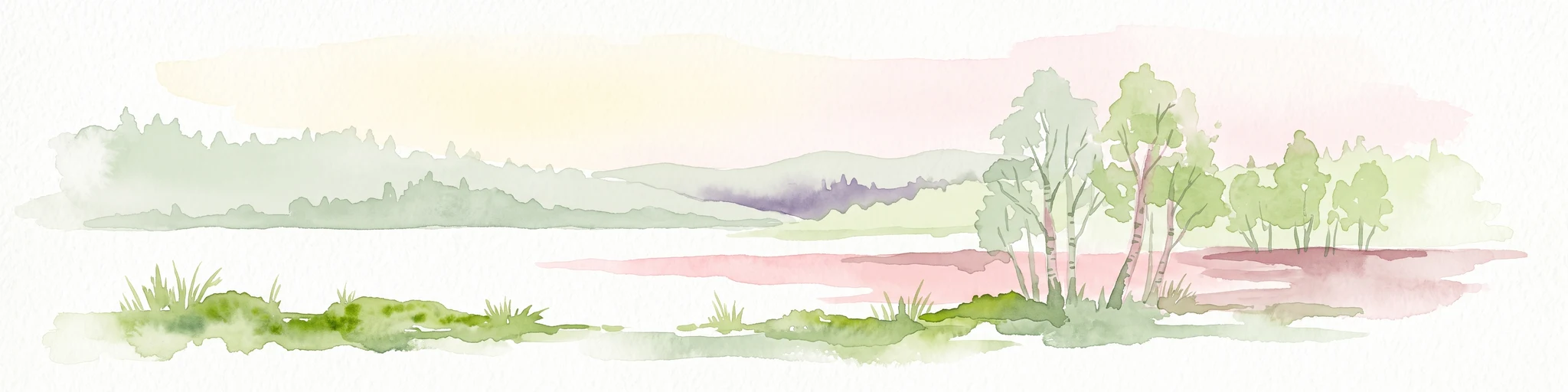
A horizontal watercolor painting depicting a soft, ethereal landscape with green trees on the left and right, a winding stream in the center, and pale rolling hills in the background against a light, misty sky.
Nature reserveSchleswig-Holstein
About 122 km away#20 closest

Southwest

FFH-Gebiet Wennebeker Moor und Langwedel Nature Reserve: Geographic and Landscape Atlas

Protected mire and heathland complex in Schleswig-Holstein

The FFH-Gebiet Wennebeker Moor und Langwedel nature reserve encompasses a complex mosaic of wet and dry heath, quaking bogs, and Nardus grasslands. This site is distinguished by its unique integration of conservation obligations with active military land use, creating a rare habitat environment within a gently rolling morainal landscape.

Area
2.3 km²
Established
2004
Relief
Lowland
Climate
Temperate
Distance methodology

Geographic measurements, not driving distances

How nearby park distances are calculated

Distances use park boundaries whenever the available geometry allows it. When one or both boundaries are missing, the mapped park locations provide a clearly labelled estimate. Every value represents straight-line geographic separation and does not use roads or routing.

Boundary distance

Calculated between the nearest points of both park boundaries.

Location-to-boundary estimate

Estimated from one mapped park location to the nearest boundary of the other park.

Mapped-location estimate

Estimated between the mapped locations of both parks.

MoriAtlas Explorer

Continue Exploring the Protected Geography of Naturpark Maribosøerne

Navigate the mapped boundaries and natural terrain of Naturpark Maribosøerne. MoriAtlas provides detailed context on the glacial lake systems, wetland habitats, and cultural heritage that define this protected landscape on the island of Lolland, offering a deeper understanding of its ecological and geological significance.

Global natural geography