Mori Atlas logo
Park earthquake history

Review recorded seismic events categorized by magnitude, depth, and distance from park boundaries.

Historical Catalogue of Recorded Earthquakes Associated with Nelson Lakes National Park

This resource provides a structured collection of seismic data for events occurring in the vicinity of Nelson Lakes National Park. Users can trace recorded earthquake history by examining event dates, focal depths, and epicentre proximity to the diverse mountain terrain of the Southern Alps. Each entry connects to transparent source data, offering a clear view of regional seismic activity without implying predictive analysis or hazard assessment for the park.

Digital illustration of a mountain stream cascading over rocks through a forest, with snow-capped mountain peaks in the background.

Glacial lakes and beech forests at the northern gateway to the Southern Alps

Nelson Lakes National Park

Nelson Lakes National Park is a pristine wilderness area in the South Island of New Zealand, situated at the northern end of the Southern Alps in the Tasman District. Established in 1956, the park encompasses approximately 1,019 square kilometres of mountainous terrain centred around two major lakes, Rotoiti and Rotoroa, which were carved by glacial activity during the ice ages. The landscape is defined by dramatic mountain ranges including the Saint Arnaud Range, Travers Range, and Ella Range, with peaks rising from 1,800 to 2,300 metres. The park protects significant beech forest ecosystems, rare alpine flora, and critical habitats for threatened New Zealand bird species. Its location along the Alpine Fault and proximity to other protected areas makes it a vital corridor for biodiversity conservation in the northern South Island.

Location
New Zealand
Park type
National park
Established
1956
Area
1,018.8 km²
Highest point
2,300 m
Nelson Lakes National Park protected area

Explore recorded seismic events by epicentre distance, magnitude, and focal depth.

Historical Earthquake Records for Nelson Lakes National Park

Searchable historical records catalogue documented seismic events associated with Nelson Lakes National Park based on calculated distance from each epicentre. Each record in the dataset provides factual geographic and physical parameters, including precise dates, magnitudes, focal depths, and official source links for clear comparison.

Sort by
Magnitude
Location

This page describes catalogued earthquakes associated with the park by epicentre location and distance. It does not establish causation, assess current danger, or predict future earthquakes.

No earthquake records match the current filters

Park atlas

Expand your geographic search with detailed profiles of regional conservation areas

Discover National Parks and Protected Landscapes Beyond Nelson Lakes

Travelers exploring the natural heritage of Nelson Lakes National Park can navigate to alternative national parks and ecological reserves across the region. Global park indexes and detailed mapping tools help users compare diverse habitats, boundary lines, and protected ecosystems within the wider network.
A flat-style digital illustration showing a rugged mountain range with green forested slopes and rocky foreground vegetation at sunrise.
Protected landscapeMarlborough Region
2.3 km away#1 closest

Northeast

Mount Richmond Forest Park: Geography and Protected Landscapes in the Marlborough Region

Expansive native bush and mountain peak terrain

Mount Richmond Forest Park stands as one of the largest protected forest areas on the South Island of New Zealand. Dominated by dense native bush and rugged subalpine ridges, the park offers a complex topography of river valleys and high-altitude peaks, including its namesake Mount Richmond. It serves as a vital conservation landscape and a core segment of the regional geography between Nelson and the Marlborough district.

Area
1,659 km²
Established
1977
Relief
Mountain
Scope
Terrestrial
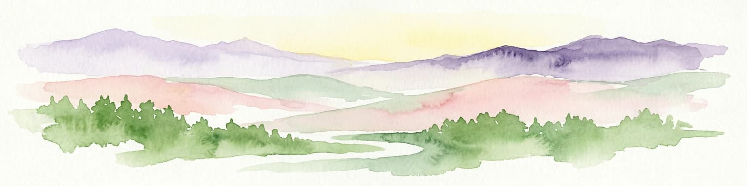
Watercolor painting of mountains, green valleys, and a winding river under a soft sky
National parkWest Coast Region
8.3 km away#2 closest

North

Kahurangi National Park

Explore the mapped natural terrain and regional geographic context.

Kahurangi National Park, in West Coast Region, New Zealand. Landscapes: mountains, valleys, and plateaus.

Area
5,193 km²
Established
1996
IUCN
II
Relief
Mixed relief
A stylized flat vector illustration of a mountain valley at sunrise. A small cabin sits in the foreground among trees and grassy hills, with large mountain peaks rising in the background under a soft, warm sky.
Protected landscapeCanterbury
About 38 km away#3 closest

Southwest

Lake Sumner Forest Park: Geography and Protected Landscape Atlas for Canterbury

Mountainous river valleys and remote beech forests

Spanning over 100,000 hectares of the Canterbury high country, Lake Sumner Forest Park stands as a prime example of New Zealand's protected backcountry. This mapping resource details the park's river-carved terrain, subalpine fringes, and its role as a connective wilderness area between major South Island mountain ranges.

Area
1,051 km²
Relief
Mountain
Climate
Temperate
Access
Moderate access
Watercolor illustration depicting a serene landscape featuring a dense forest of evergreen trees bordering a river, with soft rolling hills in the background and grassy marshland in the foreground.
Protected landscapeSouth Island
About 39 km away#4 closest

Southwest

Victoria Forest Park: A Deep Dive Into New Zealand's Largest Protected Forest Landscape

Inland West Coast mountain ranges and beech forest ecosystems

Spanning over 200,000 hectares, Victoria Forest Park stands as a defining geographic feature of the South Island. It acts as a critical refuge for endemic species and preserves all five native beech tree types within a massive, continuous protected area. The landscape integrates rugged mountain ranges with deep river valleys and historical industrial artifacts, providing a comprehensive look at the intersection of conservation and regional history.

Area
2,069 km²
Established
1981
Relief
Mountain
Climate
Temperate
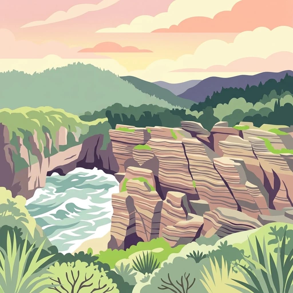
A stylized flat illustration of the Pancake Rocks in Paparoa National Park, featuring layered limestone cliffs meeting the churning ocean surf under a sunset sky.
National parkWest Coast Region
42 km away#5 closest

West

Paparoa National Park: Detailed Geographic Atlas of Karst Formations and Coastal Terrain

Discover protected landscape boundaries and unique New Zealand geology.

Paparoa National Park, located in the West Coast Region of New Zealand, offers a unique window into complex karst geology and dynamic coastal landscapes. This national park is characterized by extensive limestone cave systems, underground rivers, and the famous Pancake Rocks and Blowholes. The park's geography includes dramatic mountain terrain within the Paparoa Range and a striking coastline, providing a rich dataset for mapping protected area context and understanding regional natural features. It stands apart for its subterranean wonders and eroded limestone formations.

Area
429.7 km²
Established
1987
IUCN
II
Relief
Mountain
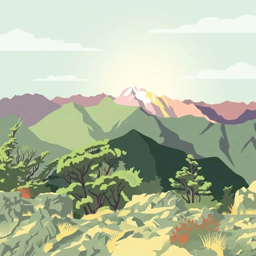
A digital illustration of a mountain valley with steep, green slopes and rocky terrain under a soft, pastel-colored sky.
National parkNew Zealand
62 km away#6 closest

Southwest

Arthur's Pass National Park

Explore the unique geography and mapped boundaries of this South Island national park.

Arthur's Pass National Park, in New Zealand. Landscapes: mountains, valleys, and forests.

Area
1,184.7 km²
Established
1929
IUCN
II
Relief
Mountain
Marine protected areaCanterbury
79 km away#7 closest

Southeast

Hikurangi Marine Reserve: Protected Marine Geography and Submarine Canyon Systems

Exploring the coastal reefs and deep trench environments of Canterbury

Hikurangi Marine Reserve represents a core protected landscape within the New Zealand marine atlas. Centered on the Kaikoura Canyon, the reserve features a sharp transition from rocky shoreline reefs to deep-sea environments that support a high density of cetaceans and seabirds. This map-focused profile examines the physical boundaries and unique oceanographic conditions that define this essential no-take marine zone.

Area
104.16 km²
Established
2014
IUCN
Ia
Relief
Lowland
A watercolor painting showing a panoramic view of lush green hills leading to a water feature, with soft-colored mountains in the background under a pale sky.
Marine protected areaWest Coast
About 86 km away#8 closest

West

Punakaiki Marine Reserve: Mapped Protected Waters and West Coast Geographic Context

Exploring marine habitats and coastal land-sea corridors

Punakaiki Marine Reserve provides a critical look at marine conservation geography in New Zealand. Located along the West Coast, the reserve encompasses a variety of seafloor substrates and coastal formations that define the boundary between the Tasman Sea and the rugged limestone landscapes of the region. This atlas entry provides essential context for understanding the reserve's role in linking terrestrial and marine ecosystems.

Area
35.2 km²
Established
2014
Relief
Lowland
Climate
Temperate
MoriAtlas Explorer

Continue Exploring Nelson Lakes National Park's Protected Landscape and Geography

Delve deeper into the geographic context of Nelson Lakes National Park, understanding its role as a protected area within New Zealand. This national park's alpine environment, glacial lakes, and surrounding mountain ranges offer a rich terrain for map-based discovery and understanding the distribution of conserved lands across the Southern Alps.