Mori Atlas logo
Park earthquake history

Review the chronological catalogue of historical seismic events associated by location with the park area.

Recorded Earthquake History and Seismic Activity Near Nieuw Land National Park in Flevoland

This historical collection documents recorded earthquakes with epicentres identified in proximity to the boundaries of Nieuw Land National Park. The catalogue features data including event dates, magnitude readings, and proximity calculations, providing a transparent view of the seismic history associated with this reclaimed landscape in the Netherlands. Each entry serves as a reference for researchers and visitors interested in the geological context and recorded seismic activity of the Flevoland region.

Related tags

wetlandslakebirdwatchingmigratory birdsreclaimed land

Wetland sanctuary on reclaimed polder land in the Netherlands' newest national park

Nieuw Land National Park

Nieuw Land National Park is a relatively young protected area established on October 1, 2018, in the Dutch province of Flevoland. The park occupies a distinctive position within the country's landscape as it sits on land that was reclaimed from the sea during the creation of the Flevopolder, one of the world's largest artificial islands. Spanning approximately 289 square kilometers, the park is dominated by water bodies, with over 75% of its surface area consisting of lakes, marshes, and waterways. The national park represents the first of a new generation of Dutch national parks, designed to meet elevated standards for ecological coherence, landscape value, and visitor experience. It connects several previously separate nature reserves into a unified protected landscape, creating one of the most significant wetland conservation areas in Western Europe.

Location
Netherlands
Park type
National park
Established
2018
Area
289 km²
Nieuw Land National Park Atlas

Examine Nieuw Land National Park records by distance

Study historical earthquakes in the area around Nieuw Land National Park

Nieuw Land National Park covers 289 km² of Dutch lowland wetlands, lakes, and islands under mixed protection, with dominant water presence. Its seismic catalogue supplies traceable chronology, magnitude, depth, place, source, and park-distance evidence without implying wetland effects, present risk, or prediction.

Sort by
Magnitude
Location

This page describes catalogued earthquakes associated with the park by epicentre location and distance. It does not establish causation, assess current danger, or predict future earthquakes.

No earthquake records match the current filters

Park atlas

Go beyond Nieuw Land National Park earthquake records

Explore more protected destinations beyond Nieuw Land National Park

From Nieuw Land National Park's earthquake records, the atlas continues beyond Flevoland's reclaimed wetlands, lake landscape, and migratory-bird habitat into other destinations. Their inclusion does not indicate common national-park designation, habitat, geographic closeness, geology, seismic observations, hazards, risk, land origin, or comparable information depth.
Nature reserveFlevoland
Park boundaries overlap#1 closest

Southwest

Lepelaarplassen Nature Reserve: Protected Polder Wetlands and Marshland Geography

Ecologically significant wetland habitats in Flevoland

Lepelaarplassen is a protected wetland reserve situated on the edge of the young Flevoland polder. Featuring a blend of excavated lakes, willow marshes, and expansive reed fringes, the area provides essential habitat for colonial breeding birds and migratory species. This detailed look covers the landscape structure and regional geography of one of the most vital wetland zones along the Oostvaardersdijk.

Area
5 km²
Established
1971
Relief
Lowland
Access
Moderate access
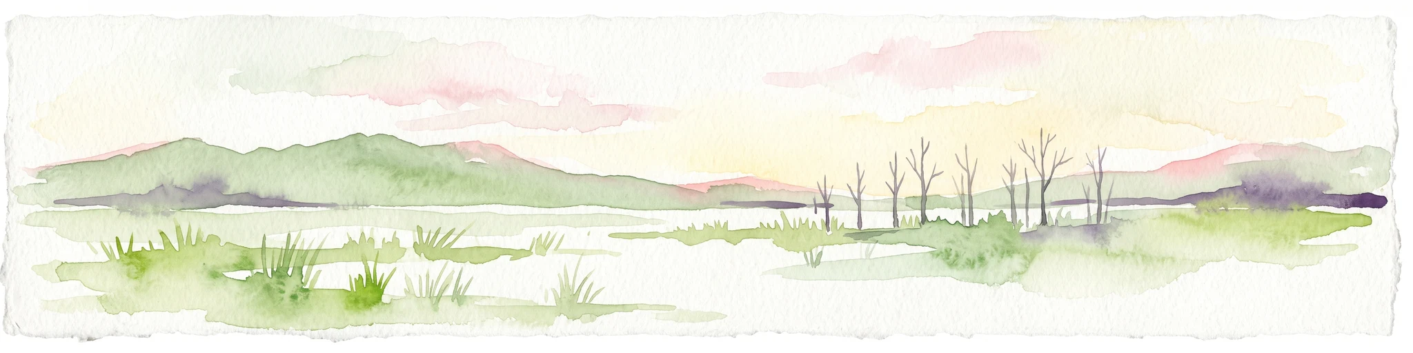
A horizontal watercolor painting depicting a wetland landscape with grassy foreground, bare skeletal trees, and rolling green hills under a soft, pale sky.
Nature reserveFlevoland
Park boundaries overlap#2 closest

South

Oostvaardersplassen Nature Reserve: Mapped Geography and Protected Area Context

Explore the marshland and polder terrain in Flevoland, Netherlands

Oostvaardersplassen represents a landmark in modern Dutch conservation, covering a 5,600-hectare mosaic of mudflats, reed beds, and willow thickets. This nature reserve, located between Almere and Lelystad, demonstrates the evolution of a young reclaimed landscape. It provides an essential habitat for marsh birds and large herbivores within the Nationaal Park Nieuw Land region, offering a distinct study in polder-based ecological management and wetland geography.

Area
56 km²
Established
1974
Relief
Lowland
Climate
Temperate
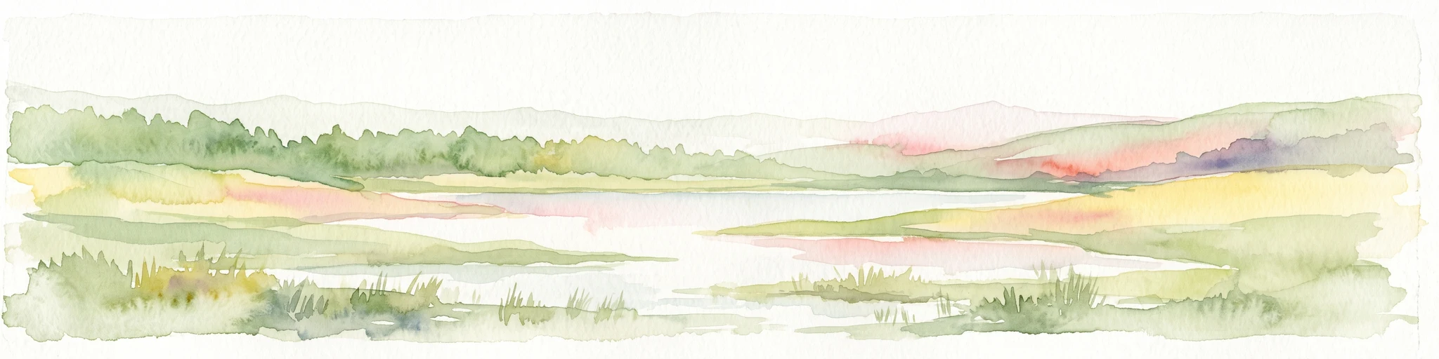
A watercolor landscape painting of a calm, shallow body of water surrounded by grassy, low-lying shores and soft, distant hills under a pale, white sky.
Protected areaNetherlands
0 km away#3 closest

North

IJsselmeer: Geography and Protected Wetland Mapping of the Netherlands

Engineered freshwater landscapes and polder geography

The IJsselmeer acts as the central freshwater reservoir for the Netherlands, providing a expansive, horizon-dominated landscape shaped by the Afsluitdijk. As an internationally recognized wetland, it supports diverse waterbird populations within its intricate system of dikes, former tidal channels, and emerging nature islands. This protected area stands as a definitive example of large-scale, adaptive hydraulic management in a low-lying coastal nation.

Area
1,133 km²
Established
1932
Relief
Lowland
Climate
Temperate
Nature reserveFlevoland
7.5 km away#4 closest

Southwest

Markermeer & IJmeer Nature Reserve: Mapping Dutch Freshwater and Polder Landscapes

A vast protected lake system shaped by historic water engineering

Spanning the distance between Flevoland and North Holland, Markermeer & IJmeer represents a significant freshwater protected area. The landscape features large lake basins framed by dike systems and recent island developments, offering a prime example of Dutch wetland geography and managed water ecosystems.

Area
79.553 km²
Established
2009
Relief
Lowland
Climate
Temperate
Protected areaFlevoland
12 km away#5 closest

East

Ketelmeer & Vossemeer: Protected Area Geography, Boundaries, and Landscape Context

Mapping freshwater lake dynamics in the Flevoland and Overijssel border region.

Ketelmeer & Vossemeer constitutes a significant Natura 2000 wetland complex where riverine floodplains meet engineered polder landscapes. This analysis provides insights into the site's role as a critical Important Bird Area and its position within the broader IJssel delta network of lakes and water channels.

Area
38.43 km²
Established
2013
Relief
Lowland
Climate
Temperate
Nature reserveFlevoland
About 13 km away#6 closest

South

Eemmeer & Gooimeer Zuidoever: Mapped Geography and Protected Lake-Fringe Landscape

A Natura 2000 wetland reserve within the Flevoland region

The Eemmeer & Gooimeer Zuidoever nature reserve consists of two distinct yet interconnected lake basins that represent the evolving landscape of the central Netherlands. The area is defined by its shallow water fringes and marshy shorelines, which provide essential sanctuary for waterbirds. By tracing the boundary between engineered polders and older mainland provinces, this reserve provides a unique look at the ecological significance of the former Zuiderzee remnants.

Area
15.84 km²
Established
2009
Relief
Lowland
Climate
Temperate
Nature reserveNetherlands
18 km away#7 closest

South

Arkemheen Nature Reserve: Geography and Protected Landscape Context in the Netherlands

Mapping medieval polder patterns and wetland bird habitats.

Arkemheen is a significant nature reserve in the Netherlands characterized by a flat, open polder landscape and historic fourteenth-century agricultural patterns. The area offers a distinct ecological profile, integrating freshwater border lakes with saline-influenced grasslands that support an internationally recognized population of meadow and wetland birds.

Area
14.3 km²
Established
1356
Relief
Lowland
Climate
Temperate
Protected areaNetherlands
18 km away#8 closest

Southeast

Veluwe: A Comprehensive Geographic Atlas of the Central Netherlands Protected Area

Glacial moraines, heathlands, and inland sand systems

Investigate the Veluwe, a premier protected area in the Gelderland province characterized by its historic push moraines and extensive ecological zones. The region encompasses significant sand drift complexes, dense woodlands, and vital spring-fed streams, offering a clear view of the diverse natural terrain found throughout the central Netherlands.

Area
1,000 km²
Relief
Upland
Climate
Temperate
Access
Easy access
MoriAtlas Explorer

Continue Exploring Nieuw Land National Park's Geographic and Landscape Context

Deepen your understanding of Nieuw Land National Park by examining its place within the Flevoland region and its significance as a protected wetland ecosystem. MoriAtlas provides structured data to map its boundaries, explore its surrounding geography, and appreciate its role as a key conservation landscape. Continue your atlas-driven discovery to uncover the intricate details of this unique Dutch national park and its ecological importance.

Global natural geography