Why Oze National Park stands out
Oze National Park is best known for its extraordinary high-altitude marshland ecosystem, particularly the Ozegahara peat bog, which ranks among Japan's most significant wetland areas. The park protects extensive open greenland at elevations that support unique subalpine vegetation communities. The iconic view of Mount Shibutsu rising behind the marshland has become one of the most photographed landscapes in Japan's protected area system. The combination of rolling wetlands, alpine peaks, and the rarity of such ecosystems in Japan's mountainous terrain makes this park a distinctive conservation asset.
Oze National Park history and protected-area timeline
Oze National Park was officially established on August 30, 2007, becoming Japan's 29th national park and the first new designation in twenty years. The park was created through the elevation of portions of the former Nikkō National Park, specifically the Oze area and surrounding mountain territories, to independent national park status. This designation followed the Ramsar Convention recognition of the Oze wetlands as a site of international importance in November 2005, which had already signaled the ecological significance of the marshland. The creation of a new national park in the twenty-year period between Kushiro-shitsugen in 1987 and Oze in 2007 reflected both evolving conservation priorities in Japan and the specific ecological value of this high-altitude wetland ecosystem. The park's establishment also acknowledged the cultural significance of the Oze landscape, which appears in traditional contexts such as the Jomo Karuta card game from Gunma Prefecture.
Oze National Park landscape and geographic character
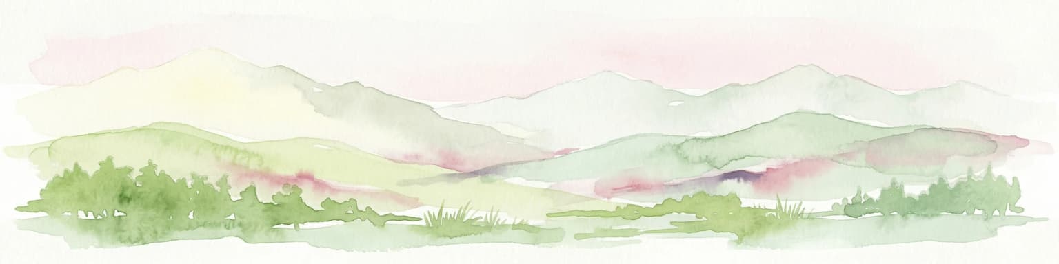
The landscape of Oze National Park is defined by the contrast between its expansive marshland floor and the surrounding mountain rim. Ozegahara represents a vast peat bog environment at high elevation, characterized by gentle undulating terrain covered in wetland vegetation. The marshland creates an open, sweeping landscape that differs markedly from the dense forests that dominate much of Japan's mountain environments. Around the wetland periphery, mountains including Mount Shibutsu and Mount Aizu-Komagatake rise to provide vertical definition to the park, with their slopes supporting forest cover that transitions from subalpine conifers at higher elevations to mixed deciduous forests below. The combination of the open wetland, the surrounding forest, and the alpine peaks creates a landscape of considerable visual variety within a relatively compact area.
Oze National Park ecosystems, habitats, and plant life
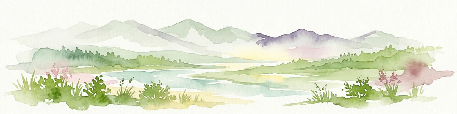
The nature of Oze National Park centers on its high-altitude wetland ecosystem, which supports vegetation communities uncommon in Japan's mountain environments. The Ozegahara marsh contains extensive peat deposits that have accumulated over millennia, creating a foundation for specialized wetland plant communities. Sedge-dominated vegetation covers much of the marsh floor, with various species of cottongrass and other wetland specialists adapted to the acidic, waterlogged conditions. The surrounding slopes support forest ecosystems that transition through distinct altitudinal zones, from mixed forests at lower elevations through subalpine coniferous forests to alpine zones on the highest peaks. The combination of protected marshland, forest, and alpine habitats within a single protected area creates a diverse ecological framework.
Oze National Park wildlife and species highlights
Oze National Park supports wildlife populations characteristic of Japan's high-altitude mountain and wetland environments. The marshland and surrounding wetland areas provide habitat for various bird species associated with open wetland environments, including species that use these habitats for breeding and foraging. The forest environments on the mountain slopes support typical Japanese mountain fauna, with the protected status of the area helping to maintain ecological continuity across the elevational gradient from wetland to alpine zones.
Oze National Park conservation status and protection priorities
Oze National Park holds recognition under both Japan's national park system and the international Ramsar Convention, reflecting its significance as a wetland conservation area. The Ramsar designation, awarded in November 2005, acknowledged the international importance of the Ozegahara ecosystem as a peat bog and wetland habitat. This dual protection framework emphasizes both the national significance of the area as a representative Japanese protected landscape and its international recognition as a significant wetland ecosystem. The park's establishment followed growing understanding of the ecological value of high-altitude wetlands in Japan and the need for dedicated protection of these relatively rare habitat types.
Oze National Park cultural meaning and human context
The Oze landscape holds a place in Japanese regional culture, most notably through its representation in the Jomo Karuta traditional card game from Gunma Prefecture. This cultural reference reflects the long-standing recognition of the Oze landscape as a distinctive feature of the region's identity. The park spans four prefectures, creating a cross-regional protected area that connects different parts of central Japan through the shared presence of this significant natural landscape.
Top sights and standout views in Oze National Park
The defining highlight of Oze National Park is the Ozegahara marsh itself, a sweeping high-altitude wetland that creates an almost subarctic landscape in the heart of Japan. The view of Mount Shibutsu rising behind the marshland has become an iconic image of Japanese natural landscapes. The park's significance as Japan's first new national park in twenty years underscores its role in expanding the representativeness of Japan's protected area network to include major wetland ecosystems. The Ramsar designation further emphasizes the international conservation importance of this high-altitude bog system.
Best time to visit Oze National Park
Oze National Park can be visited throughout the year, though the high-altitude setting means that conditions vary substantially across seasons. The summer months bring the warmest temperatures and the peak growing season for the marshland vegetation, when the wetland is at its most lush and the wildflower display is most pronounced. Autumn brings changing colors to the surrounding forests and can offer crisp, clear weather. Winter transforms the landscape into a snowy environment, with the marshland and peaks under snow cover. The visitable season for the more accessible parts of the park may vary with snow conditions.