
Mori Atlas logo
Park earthquake history

A mapped catalogue of historical seismic events recorded near this protected mountain landscape.

Historical Seismic Activity and Earthquake Records for Park Krajobrazowy Sudetów Wałbrzyskich

Explore a detailed record of earthquakes associated with the geography of Park Krajobrazowy Sudetów Wałbrzyskich. This collection provides access to historical seismic data including event dates, magnitudes, and epicentre distances calculated relative to the park boundaries. Each entry is sourced from geological datasets to offer a clear overview of seismic activity documented within the surrounding region of the Central Sudetes.

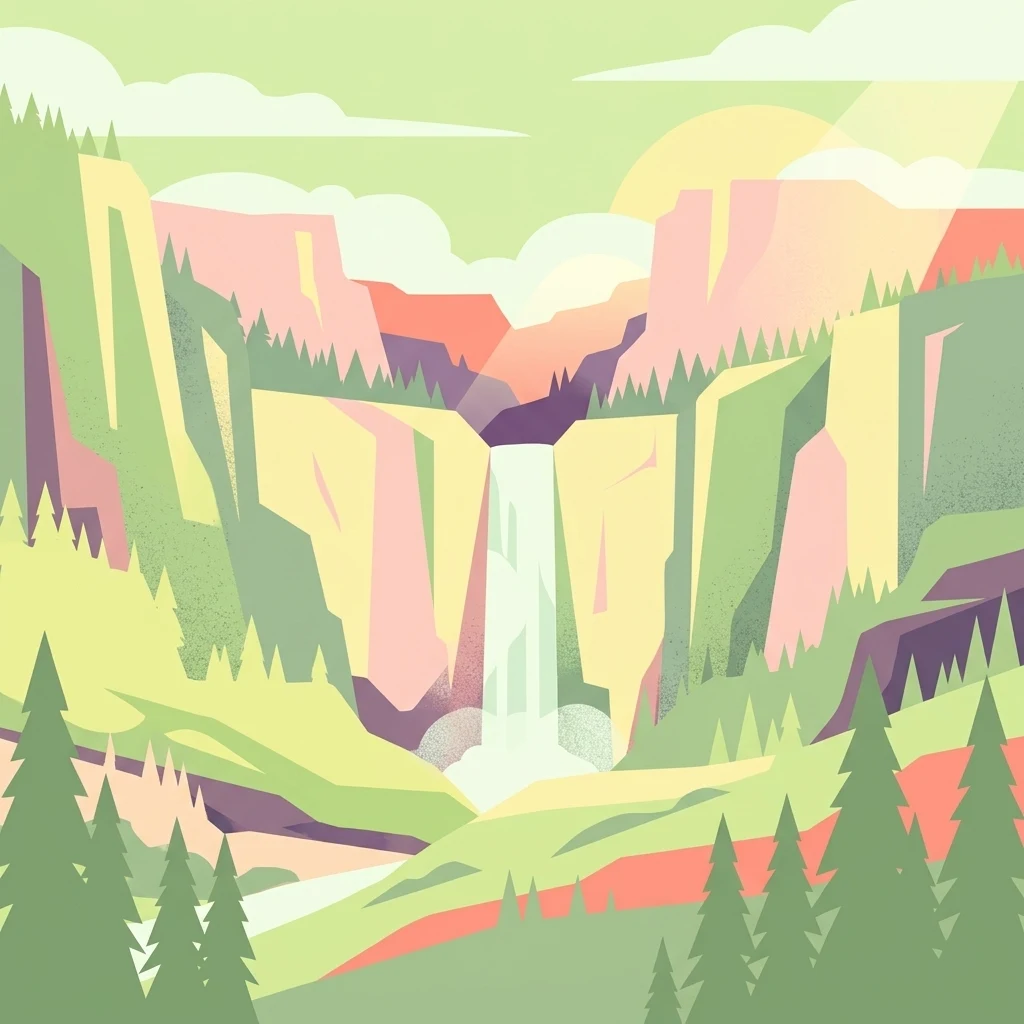
A minimalist, flat-design vector illustration showing a tall waterfall flowing down a rocky canyon flanked by pine trees and layers of cliffs.

A forested Central Sudetes landscape park guarding the high ridges south of Wałbrzych.

Park Krajobrazowy Sudetów Wałbrzyskich

Park Krajobrazowy Sudetów Wałbrzyskich is a Polish landscape park located in Lower Silesia, just south of the city of Wałbrzych. The name refers to the protected area surrounding that city rather than a separately named mountain range, since no massif is officially called the Wałbrzych Sudetes. The protected area covers roughly 65 square kilometers of the Central Sudetes and includes the highest parts of the Góry Kamienne range, the western edge of the Góry Suche with the prominent summit of Waligóra, and the eastern portion of the Góry Wałbrzyskie around Borowa and the Rybnicki Grzbiet. Elevation within the park runs from about 400 meters to the Waligóra peak at 936 meters above sea level. Established in 1998, the park is administered as a protected landscape category and forms a continuous belt of forested ridges that connects, at its southern edge, with the Czech Broumovsko protected landscape area across the border. Its character is shaped by deep valleys, erosional rock formations, and a network of small Sudeten streams draining toward the Baltic basin.

Location
Poland
Park type
Protected landscape
Established
1998
Area
64.9 km²
Highest point
936 m
Park Krajobrazowy Sudetów Wałbrzyskich Atlas

Review Park Krajobrazowy Sudetów Wałbrzyskich events and distances

Investigate earthquakes near Park Krajobrazowy Sudetów Wałbrzyskich

Park Krajobrazowy Sudetów Wałbrzyskich’s earthquake view maps reported epicentres by calculated distance from its Lower Silesian boundary, separating the records from Central Sudetes ridges, valleys, and forest. Each entry provides a date, magnitude, depth, locality, source, and park distance for historical comparison without claiming mountain effects, present hazard, or future activity.

Sort by
Magnitude
Location

This page describes catalogued earthquakes associated with the park by epicentre location and distance. It does not establish causation, assess current danger, or predict future earthquakes.

No earthquake records match the current filters

Park atlas

Shift from the forested Central Sudetes to different protected terrain

Venture beyond Park Krajobrazowy Sudetów Wałbrzyskich

After examining earthquakes around the high ridges and incised valleys south of Wałbrzych, explore other protected places across the atlas. Their appearance does not identify them as Central Sudetes counterparts or establish common landscape-park status, rock structure, seismic history, geographic closeness, danger, or source quality.
Watercolor illustration of a mountain range with green hills, pink and yellow sky, and sparse vegetation
National parkPoland
16 km away#1 closest

West

Karkonosze National Park: A Premier National Park in Poland's Giant Mountains

Discover alpine terrain and unique glacial landscapes.

Karkonosze National Park is a significant protected area in Poland, renowned for its dramatic alpine topography carved by ancient glaciers. As the highest range in the Polish Sudetes, it features striking U-shaped valleys, U-shaped glacial cirques, and diverse subalpine to alpine ecosystems. This national park provides a rich context for understanding Central European mountain geography and exploring its mapped protected boundaries.

IUCN
II
Relief
Mountain
Scope
Terrestrial
A horizontal watercolor illustration depicting a prominent weathered sandstone rock formation surrounded by forest, set against a soft, light-filled sky.
National parkDolnośląskie
17 km away#2 closest

South

Park Narodowy Gór Stołowych: A Geologic Atlas of Table Mountains in Lower Silesia

Mapping sandstone labyrinths and protected forest plateaus in the Sudetes

Explore the definitive map and geographic profile of Park Narodowy Gór Stołowych, a protected area characterized by its horizontal sandstone layers and dramatic rock towers. This atlas entry provides insight into the park's sedimentary landscape, covering iconic summit plateaus, dense forest environments, and the contrasting igneous geology of the surrounding terrain.

Area
63.402 km²
Established
1993
Visitors
1.3M annual
Relief
Mountain
Watercolor artwork depicting a landscape with green hills, distant mountains, and pastel sky
National parkLower Silesian Voivodeship
17 km away#3 closest

South

Stołowe Mountains National Park: Explore Poland's Sandstone Rock Cities and Protected Terrain

National Park in Lower Silesian Voivodeship: Geological Wonders.

Stołowe Mountains National Park is a protected national park in Poland celebrated for its unparalleled sandstone geological features. Within the Lower Silesian Voivodeship, the park showcases a dramatic landscape dominated by flat-topped rock plateaus, natural labyrinths, and vertical sandstone formations that create a visually stunning and geologically significant environment. Its protected status ensures the preservation of these unique landforms and the rare ecosystems, such as raised peat bogs, offering extensive opportunities for atlas exploration and understanding the region's distinct natural context.

Area
63.39 km²
Established
1993
IUCN
II
Visitors
1.3M annual
Watercolor painting showing green forests, a valley, and distant mountains under a soft sky
National parkLiberec Region
19 km away#4 closest

West

Krkonoše National Park: Central European Alpine Protected Area and Map Context

Discover glacial landforms and unique ecosystems in the Giant Mountains.

Krkonoše National Park, situated in the Liberec Region, is a premier example of a protected alpine landscape in Central Europe. This page facilitates exploration of its significant glacial geography, including distinct cirques, rockfields, and valleys, providing vital context for understanding its protected area status. Engage with the mapped terrain and discover the unique ecological features that make this national park a cornerstone of conservation and geographic study within the Czech Republic.

Area
363.52 km²
Established
1963
IUCN
II
Visitors
12.1M annual
Protected landscapeLower Silesian Voivodeship
22 km away#5 closest

North

Park Krajobrazowy Chełmy: Protected Landscape and Volcanic Geography in Southwestern Poland

Geological atlas of the Kaczawskie Foothills

Deep dive into the complex terrain of Park Krajobrazowy Chełmy, a protected area in Lower Silesia renowned for its layered volcanic history and unique floristic composition. This site showcases an intricate network of ravines and basalt-crowned hills that define the edge of the Sudetes, offering a comprehensive look at the region's ancient geological development and ecological heritage.

Area
159.91 km²
Established
1992
Relief
Mountain
Climate
Temperate
Protected areaLower Silesian Voivodeship
22 km away#6 closest

Northwest

Trzcińskie Mokradła Protected Area: Geographic Overview and Mapped Sudeten Wetland Landscape

Located in the Lower Silesian Voivodeship of Poland

Trzcińskie Mokradła stands as a significant mire complex in the Jelenia Góra Basin, providing a rare look at peat-forming habitats in the Sudetes. This protected area offers deep insight into regional wetland conservation and the environmental history of southwestern Poland, serving as an essential reference for researchers and landscape enthusiasts interested in intramontane basin geography.

Area
0.753 km²
Established
2011
Scope
Terrestrial
Water
Major water bodies
A minimalist watercolor illustration depicting rolling, layered mountain ridges in soft shades of green, yellow, and light pink against a white background.
National parkDolnośląskie Voivodeship
22 km away#7 closest

West

Karkonoski Park Narodowy: Mapping Protected Granite Peaks and Glacial Terrain in Poland

High-mountain landscapes in the Dolnośląskie Voivodeship

Trace the diverse geography of Karkonoski Park Narodowy, where granite blockfields and glacial cirques define the high-altitude terrain. This protected area represents one of Central Europe's most significant upland ecosystems, showcasing a vertical transition from dense forest to alpine tundra.

Area
59.51 km²
Established
1959
Visitors
2M annual
Relief
Mountain
A soft watercolor painting of gentle rolling green hills and meadows with patches of trees, set against a background of distant mountains.
Natural monumentKrálovéhradecký kraj
About 24 km away#8 closest

West

Sklenářovické údolí Natural Monument: Geography, Terrain, and Protected Land Features

Meadow-rich valley ecosystems in the Krkonoše foothills

Sklenářovické údolí stands as a significant protected natural monument in the Královéhradecký kraj region. Its geography consists of a deeply carved stream valley that shelters an unusually high concentration of rare orchid species and sensitive wetland habitats. The area provides a clear look at historical land-use restoration, where meadow and forest boundaries are maintained to protect diverse raptor nesting grounds and fragile montane flora within the broader Czech landscape network.

Area
1.806 km²
Established
2009
IUCN
III
Relief
Mountain
MoriAtlas Explorer

Explore the Mapped Landscapes of Park Krajobrazowy Sudetów Wałbrzyskich

MoriAtlas provides a structured view of the terrain and ecological boundaries within this protected area. Use these detailed records to understand the ridge systems and erosional history shaping the Central Sudetes near Wałbrzych.