
Mori Atlas logo
National parkParque nacional San Miguel

Understanding the unique geography of volcanic hills, native woodlands, and seasonal wetland corridors.

Parque nacional San Miguel: Mapped Protected Landscapes and Volcanic Terrain in Departamento de Rocha

Parque nacional San Miguel stands as a significant protected landscape in Departamento de Rocha, where the Sierra de San Miguel volcanic ridge meets expansive bañado wetlands. This geography creates a mosaic of dry rocky summits, gallery forests, and open prairie, safeguarding a unique ecological corridor. Discover the physical boundaries and terrain features that define this protected area and its role within the regional landscape context.

national parkUruguayRocha Departmentwetlandsbañadossierras
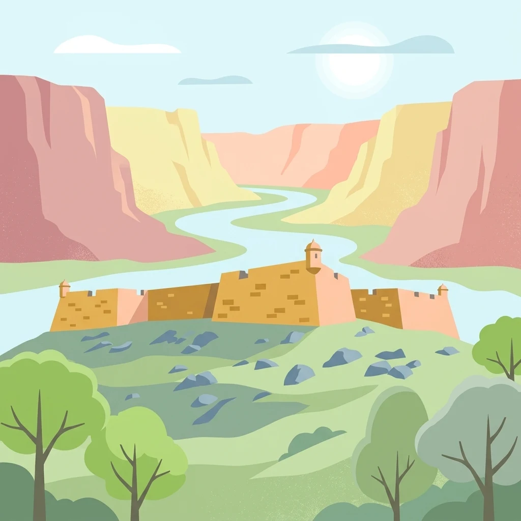
A flat vector-style illustration showing a stone fort on a green hill with scattered rocks and trees, with a winding river flowing through a pink and yellow canyon in the background under a sunny sky.

Parque nacional San Miguel

National park

Park overview

Structured park overview, official facts, and landscape profile for San Miguel National Park

San Miguel National Park park facts, protected area profile, and essential visitor context

Review the core facts for San Miguel National Park, including designation, size, terrain, visitor scale, habitats, and operating context in one park-focused overview.

About San Miguel National Park

San Miguel National Park sits in the northeast of Uruguay's Rocha Department, close to the town of 18 de Julio and the international boundary with Brazil. Its setting is defined by the Sierra de San Miguel, part of the Arequita formation, which runs across the park from southwest to northeast in a series of modest, rounded elevations. Around these hills lies a varied mosaic of native hill woodland, riverside forest, open prairie, and large areas of bañado wetland.

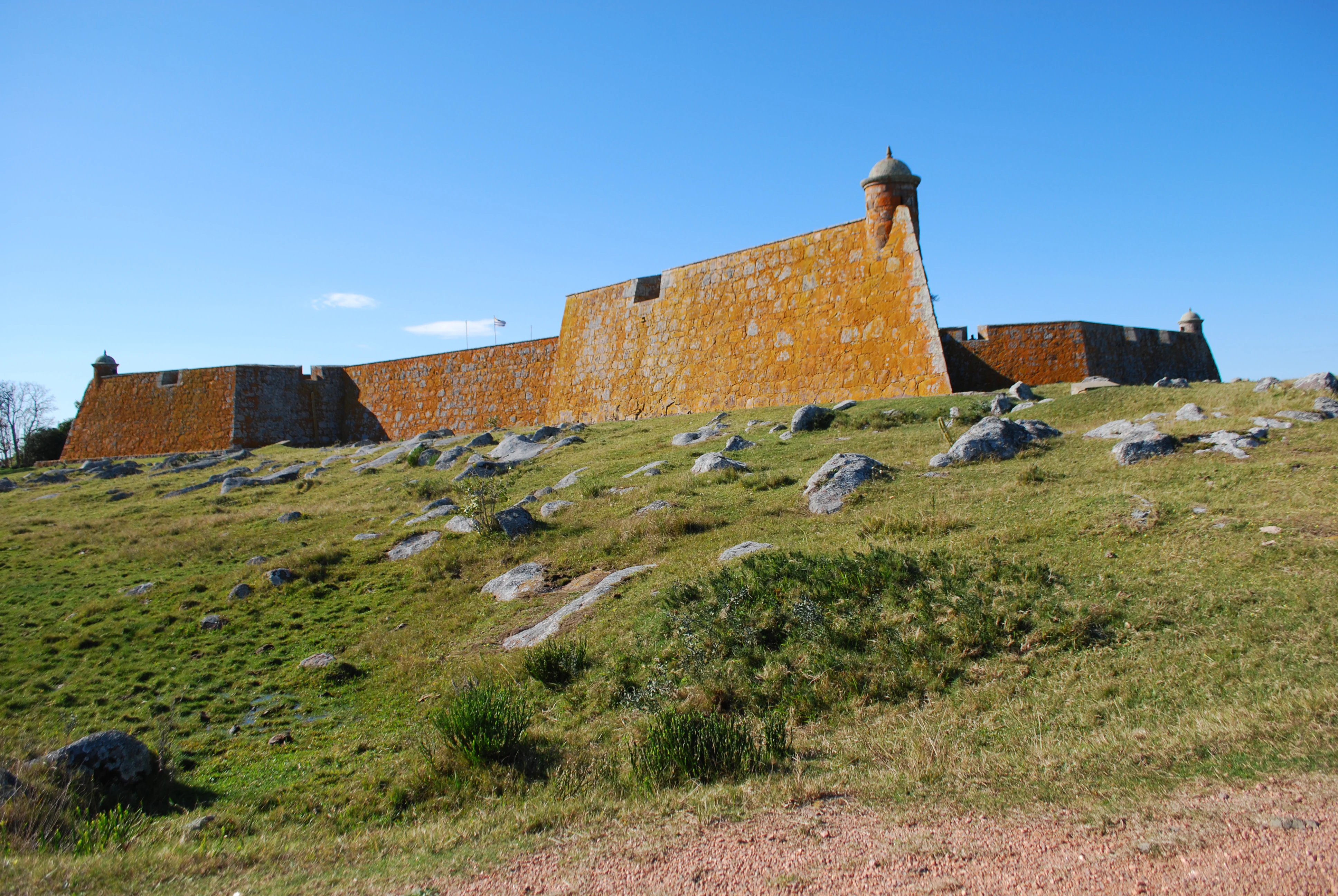
The park's cultural anchor is the Fuerte de San Miguel, a stone fortification built by the Spanish in 1737, declared a National Monument in 1937, and now restored. A stone hostelry known as Fortín de San Miguel is also located inside the park, dating to 1941 and offering interpretive walks, horseback excursions, and guided visits. Together, the fort and the surrounding landscape give the park a strong dual identity as both a natural and a historical site.

Ecologically, San Miguel protects representative wildlife of eastern Uruguay, including foxes, margay, ocelot, lesser wild cats, opossums, armadillos, and wild boar, as well as reptiles like caiman and tegu lizards. Birdlife is diverse, with black hawks, peregrine falcons, several species of vultures including red-headed, yellow-headed, and black-headed caracaras, black kites, herons, incredible grebes (aguatero), geese, ducks, and a variety of migratory species. Native flora ranges from palo de fierro and arrayán to the country's largest known population of pindó palm.

A standout feature of the park is its population of around 300 criollo or feral cattle, descendants of the first livestock brought into the region by Hernandarias in the seventeenth century. Recovered and protected by historian Horacio Arredondo in the 1930s and 1940s, the herd is managed as a unique genetic reserve and is recognized by UNESCO. This unusual combination of colonial heritage, upland and wetland ecosystems, and living agricultural history makes San Miguel a distinctive protected area within Uruguay.

Quick facts and research context for San Miguel National Park

San Miguel is one of Uruguay's foundational national parks, legally established on 29 October 1937 around the Fuerte de San Miguel in Rocha Department. It covers about 1,542 hectares of low sierras, native woodland, pasture, and bañados near the town of 18 de Julio and the Brazilian border.

The park belongs to Uruguay's Sistema Nacional de Áreas Protegidas as of February 2010 and is administered jointly by environmental, military, tourism, and historical agencies. Beyond its natural values, the park preserves a rare criollo cattle population managed as a genetic reserve and recognized by UNESCO, alongside the eighteenth-century Spanish fort at its core.

Protection and recognition

Documented terrestrial conservation scope and official establishment timeline

Parque nacional San Miguel Protection Status and Designation History

Terrestrial protection status for Parque nacional San Miguel began with establishment in 2010. Documentation outlines management scope and formal designation records for regional analysis.

Protection details

Protection scope
Terrestrial
Designated year
2010
Transboundary protection
No
Park context

Deeper park guide and search-rich context for San Miguel National Park

San Miguel National Park history, landscape, wildlife, and travel context

Explore San Miguel National Park through its history, landscape character, ecosystems, wildlife, conservation priorities, cultural context, and seasonal travel timing in a structured park guide built for atlas discovery and search intent.

Why San Miguel National Park stands out

San Miguel is best known for three intertwined features: a restored colonial Spanish fort, the surrounding chain of low volcanic-origin hills of the Sierra de San Miguel, and a UNESCO-recognized genetic reserve of criollo cattle descended from the first livestock introduced to the region. The presence of extensive bañados around the sierra adds an important wetland dimension, giving the park both scenic variety and ecological weight. A further distinguishing trait is its place in Uruguay's conservation history: San Miguel was declared a national park under a 1937 law and was subsequently renamed as a national fauna and flora reserve before returning to park-national status within the national protected-areas system in 2010.
A small dark bird perched on a weathered stone wall with orange lichen, with a blurred background of green vegetation, palm trees, and a body of water under a cloudy sky.
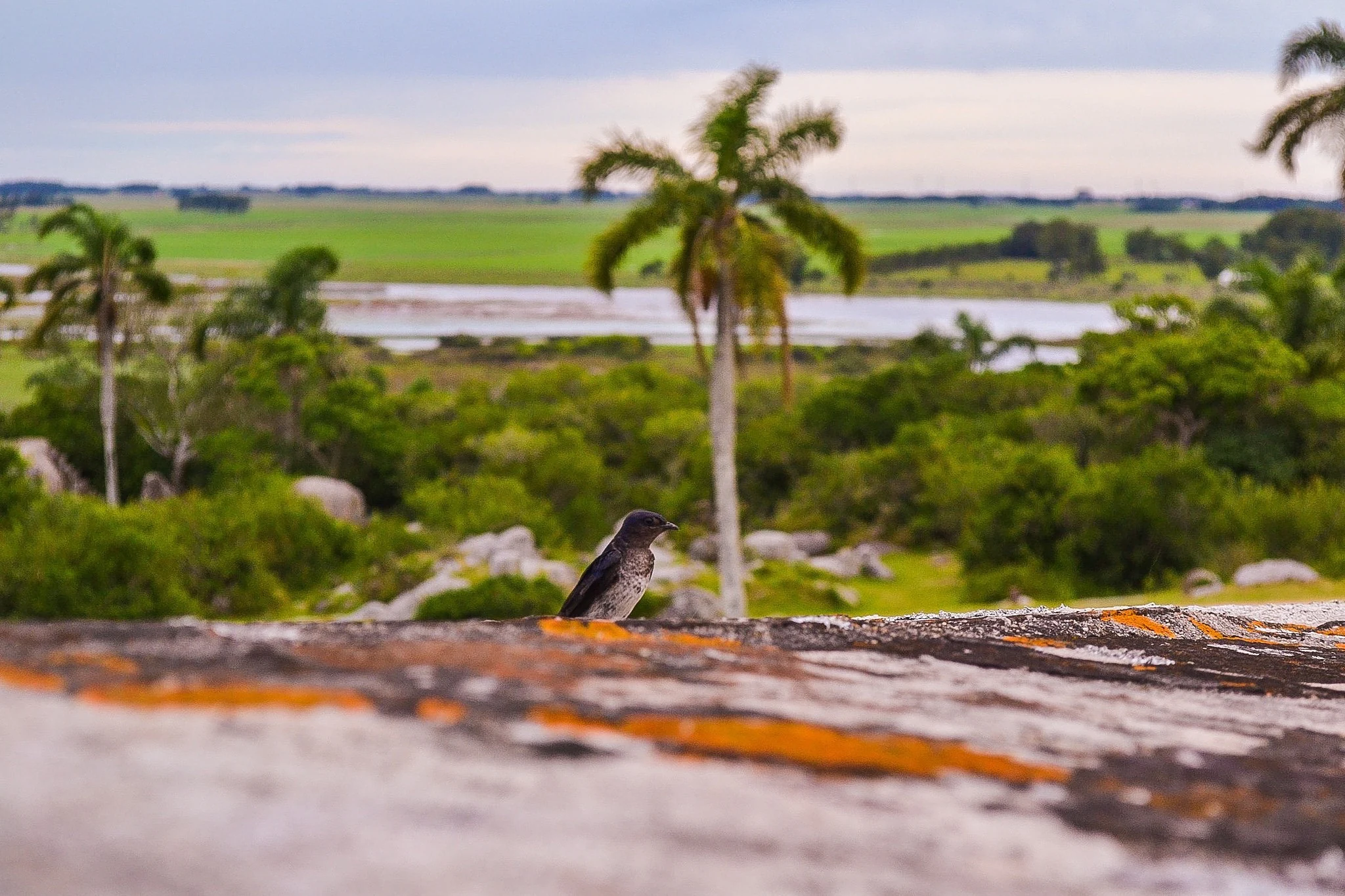
A small bird perched on the lichen-covered stone wall of Fort San Miguel, overlooking a green landscape with palm trees and a lagoon.

San Miguel National Park history and protected-area timeline

San Miguel's origin as a protected area dates to 29 October 1937, when Law N.° 9718 declared the fiscal lands surrounding the Fuerte de San Miguel a national park. From that moment until 1974, the park was administered by the Comisión Honoraria de Restauración y Conservación de la Fortaleza de Santa Teresa y Fuerte San Miguel, an honorary commission focused on the historic fortifications.

Administrative responsibility then passed to the National Army, which managed the park until 1991. In that year, the park was transferred to the Ministry of Housing, Territorial Planning and Environment, and additional lands were incorporated under Article 303 of Law N.° 16226. On 1 November 1992, Article 352 of Law N.° 16320 broadened the park's formal designation to a national fauna and flora reserve under the name Parque Nacional de Reserva de Fauna y Flora de San Miguel.

The conservation and management of the area have since involved several institutions working jointly. Since 2005, the park has been managed through the Eastern Wetlands Biodiversity Conservation and Sustainable Development Program, the Army Parks Service, the Ministry of Defense's historical studies unit, the environmental ministry, and the Ministry of Tourism. On 8 February 2010, Executive Decree N.° 54/010 integrated San Miguel into Uruguay's National System of Protected Areas (SNAP) under the category of national park, restoring its original designation as Parque Nacional San Miguel.

San Miguel National Park landscape and geographic character

The physical character of San Miguel is shaped by the Sierra de San Miguel, a range of volcanic-origin hills that belong to the broader Arequita formation and that cross the park from southwest to northeast. The hills are of moderate elevation, with Cerro Vigía rising to 152 meters above sea level, Cerro La Carbonera reaching 130 meters, and Cerro Picudo standing at 100 meters. These rounded summits give the park its central ridge and most visible topographic relief.

Around the base of the sierra, the terrain levels out into broader lowlands dominated by bañados, or seasonal wetlands, which characterize much of the surrounding landscape. This contrast between elevated, rocky terrain and low wetland basins gives the park a layered physical structure, where dry uplands with native hill woodland and rocky slopes transition into open, often seasonally flooded lowlands.

Riverside gallery forests and patches of open prairie fill the spaces between these two dominant environments, adding further texture to the terrain. Together, the sierras, the bañados, and the corridors of native vegetation create a compact landscape mosaic rather than a single continuous habitat type.
A historic fort with orange-colored stone walls and a rounded watchtower sitting atop a grassy hill scattered with rocks, under a clear blue sky.
The historic San Miguel Fort with its distinctive orange stone walls and watchtower rising above a rocky grassy hillside in Rocha Department, Uruguay.

San Miguel National Park ecosystems, habitats, and plant life

Ecologically, San Miguel represents a transitional palette typical of Uruguay's Rocha region: rocky uplands with native hill forest, riverside gallery woodlands, open grasslands, and extensive bañado wetlands. Wetland character is particularly significant because San Miguel lies within the broader eastern wetlands region managed through a dedicated biodiversity program.

The native flora combines characteristic Uruguayan woodland species such as palo de fierro, arrayán, sarandí colorado, sarandí blanco, temberatí, aruera, guayabo, envira, canelón, coronilla, and tarumán, alongside small-tree species like naranjo chico. The park is notable for hosting Uruguay's largest known population of the pindó palm, giving the area an unusually strong presence of this iconic palm. Typical understory and grassland species such as carqueja and marcela round out the vegetation profile.

The combination of wetland, woodland, and upland habitats makes San Miguel ecologically distinctive within the country's national park system. The park's vegetation is not only preserved as habitat for native wildlife but is also closely tied to the protection of the criollo cattle genetic reserve that grazes within its boundaries, linking ecological management with cultural and agricultural heritage.

San Miguel National Park wildlife and species highlights

San Miguel supports a rich mix of wildlife typical of eastern Uruguay's hill-and-wetland landscapes. Mammals present in the park include gray and campo foxes, margay, ocelot, the pajonal wildcat, the bare-handed anteater (mano pelada), opossum, armadillo, and wild boar, alongside free-roaming criollo sheep and cattle.

Reptiles include caiman (yacaré), overo tegus, and crucera lizards, which find suitable habitat in the wetland and riverside environments of the park. These reptile populations reflect the strong presence of bañados within the protected area.

Birdlife is one of the park's most conspicuous natural assets. Raptors such as the black hawk and peregrine falcon are recorded, along with scavengers including the red-headed, yellow-headed, and black-headed caracaras, and the black kite. Herons, the incredible grebe (aguatero), geese, ducks, and various migratory bird species round out the bird community, while smaller passerines such as the reina mora and fueguero común also inhabit the area.

San Miguel National Park conservation status and protection priorities

San Miguel's conservation role is unusually broad. It protects a representative mosaic of Rocha's hill forests, wetlands, and prairie ecosystems while also safeguarding the genetic heritage of a unique criollo cattle population recovered by historian Horacio Arredondo in the 1930s and 1940s. Roughly 300 animals reproduce freely in the park, and the population is recognized by UNESCO as a significant genetic reserve. The herd is managed by the Army Parks Service, linking heritage conservation with active ecological management.

Beyond wildlife and genetic resources, the park's formal inclusion in Uruguay's National System of Protected Areas on 8 February 2010 confirmed its place within the country's modern conservation framework. The institutional involvement since then of the Eastern Wetlands Biodiversity Conservation and Sustainable Development Program, the Ministry of Housing, Territorial Planning and Environment, and the Ministry of Tourism reflects a multi-agency model that combines ecological preservation, habitat protection, and public engagement.

The park's bañados are also integrated into the broader eastern wetlands conservation strategy, situating San Miguel within a wider landscape-scale approach to wetland protection and biodiversity management in eastern Uruguay.

San Miguel National Park cultural meaning and human context

The cultural dimension of San Miguel is anchored by the Forte de San Miguel, a stone military fortification built by Spain in 1737 and declared a National Monument in 1937. This Spanish colonial structure gives the park a layer of regional historical importance that complements its natural values.

Historian Horacio Arredondo played a central role in shaping the park's modern identity. Through his 1930s and 1940s work recovering the criollo cattle population, and his initiative to build the stone Fortín de San Miguel hostelry in 1941, he connected the site to both agricultural heritage and tourism. The park's cattle are linked to the livestock first introduced to the region by Hernandarias in the seventeenth century, tying the lived landscape to early colonial-era pastoral history.

Locally, the park sits near the town of 18 de Julio and the broader Rocha cultural region, giving it a role as both a heritage site and a place of regional identity in eastern Uruguay.

Top sights and standout views in San Miguel National Park

The most distinctive features of San Miguel National Park are its combination of three elements: a restored 1737 Spanish fort at the heart of the protected area, a chain of low volcanic-origin hills forming the Sierra de San Miguel, and surrounding bañado wetlands.

A standout wildlife and heritage feature is the criollo cattle genetic reserve, comprising about 300 free-reproducing animals conserved with UNESCO recognition. The park also hosts Uruguay's largest known population of pindó palms and provides habitat for a wide range of eastern Uruguay fauna, from ocelot and caiman to peregrine falcon and migratory waterbirds.

Best time to visit San Miguel National Park

San Miguel's hill-and-wetland setting is best appreciated when temperatures are mild, which corresponds to spring and autumn along Uruguay's eastern coast and Rocha region. In these seasons, walking the trails around the fort, exploring the surrounding sierras, and visiting the bañados are most comfortable.

The wetland character of the park also gives it seasonal interest: when the bañados hold more water, the area becomes more attractive for waterbirds and overall wetland scenery, while drier periods change the open prairie and woodland experiences. Visitors interested in both colonial history and the criollo cattle reserve will find the park rewarding year-round, with the Fortín de San Miguel hostelry historically offering accommodation, restaurant service, walking, horseback excursions, and guided tours.
Monthly climate preview

Long term temperature and precipitation cycles recorded at representative coordinates

Parque nacional San Miguel Climate Normals and Annual Weather Patterns

Representative climate data for Parque nacional San Miguel details a measured annual cycle of mean temperatures ranging from 10.62 degrees Celsius to 22.98 degrees Celsius alongside consistent monthly precipitation. Reviewing the complete twelve month profile provides granular baseline metrics for regional environmental analysis and long term meteorological research.
Annual mean17 °C
11 °C23 °C
Jan23°
Feb23°
Mar21°
Apr18°
May15°
Jun12°
Jul11°
Aug12°
Sep14°
Oct16°
Nov19°
Dec21°
Warmest month
January

23 °C

Coolest month
July

10.6 °C

Wettest month
February

4.3 mm/day

Driest month
November

2.6 mm/day

Park location guide

Geography guide, regional context, and park location map for San Miguel National Park

San Miguel National Park park geography, regions, and map view in Uruguay

Understand where San Miguel National Park sits in Uruguay through a broader geographic reading of the surrounding landscape, nearby location context, and its mapped position within the national park landscape.

How San Miguel National Park fits into Uruguay

Uruguay is a unitary presidential republic located in southeastern South America. It covers approximately 176,215 km² and has a population of nearly 3.5 million people. The capital and largest city is Montevideo, where roughly 2 million people live in the metropolitan area. Uruguay gained independence between 1825 and 1828 following territorial disputes involving Portugal, Spain, Brazil, and the United Provinces of the Río de la Plata.

Wider geography shaping San Miguel National Park in Uruguay

Uruguay is situated in the southeastern part of South America, bordering Argentina to its west and southwest, Brazil to its north and northeast, the Río de la Plata estuary to the south, and the Atlantic Ocean to the southeast. The terrain consists primarily of rolling plains and low hills, with the highest point being Cerro Catedral at approximately 514 meters. The country has several rivers including the Uruguay River, Paraná River, and Negro River.

Map view of San Miguel National Park

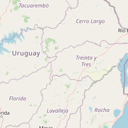
Use this park location map to pinpoint San Miguel National Park in Uruguay, understand its exact geographic position, and read its mapped placement within the surrounding landscape more clearly.

Pigeon | © OpenStreetMap contributors

Location context for San Miguel National Park

Departamento de Rocha

Visualizing volcanic hills, native woodlands, and wetland habitats across the protected area

Parque nacional San Miguel Photos and Landscape Scenery Exploration

Photographic records reveal the distinct topographic contrast between the rocky ridges of the Sierra de San Miguel and surrounding seasonal wetlands. Examining these protected landscapes helps clarify the ecological character and physical terrain unique to the region.

A small dark bird perched on a weathered stone wall with orange lichen, with a blurred background of green vegetation, palm trees, and a body of water under a cloudy sky.

A wooden sign reading Parque Nacional San Miguel stands beside a dirt road entrance, surrounded by green grass, trees, and a blue sky with clouds.

A historic fort with orange-colored stone walls and a rounded watchtower sitting atop a grassy hill scattered with rocks, under a clear blue sky.

Park atlas

Compare regional protected areas, wetlands, and hill ecosystems

Other Parks Near Parque nacional San Miguel and Protected Landscapes

Browsing parks near Parque nacional San Miguel reveals broader ecological patterns across the Rocha Department. Exploring adjacent protected landscapes connects low-hill terrain, seasonal wetlands, and native woodland corridors.
Wildlife reserveDepartamento de Rocha
About 23 km away#1 closest

South

Área de manejo de hábitats y/o especies Cerro Verde e Islas de la Coronilla Protected Landscape

Coastal and marine wildlife reserve in Departamento de Rocha

Spanning both land and sea, this reserve protects a rare combination of granite coastal hills, relict forests, and oceanic islands along the Uruguayan Atlantic. Learn about its integrated role within the Banos del Este biosphere and its importance as a habitat for endangered green sea turtles and migrating southern right whales.

Area
16.88 km²
Established
2011
Relief
Lowland
Climate
Temperate
Watercolor painting of a wide, calm lake landscape with a sandy shoreline, sparse vegetation, and gentle hills in the background.
National parkRocha Department
About 25 km away#2 closest

South

Parque Nacional Laguna Negra: Geographic Map and Protected Area Overview

Wetland and Savanna Landscapes in Rocha Department

Parque Nacional Laguna Negra protects a compressed mosaic of coastal environments in eastern Uruguay. The area integrates dense marshlands with native grasslands and patches of indigenous forest, providing a essential habitat corridor along the Atlantic coast. Use this atlas resource to understand its terrain and internal environmental distribution.

Area
7.15 km²
Established
2025
Relief
Lowland
Climate
Temperate
National parkRocha Department
25 km away#3 closest

South

Santa Teresa National Park: Mapped Coastal Forest and Beach Protected Landscape

Explore Rocha Department's unique protected Atlantic coast geography.

Santa Teresa National Park, a designated national park in Uruguay's Rocha Department, offers a compelling example of a protected coastal environment. Its landscape is characterized by a distinctive blend of dense forests that reach down to the sandy shores of the Atlantic Ocean, a rare feature in the region's protected areas. This page provides detailed geographic context and map-based exploration for understanding this unique seaside national park and its place within Uruguay's conservation atlas.

IUCN
II
Relief
Lowland
Climate
Subtropical
Access
Easy access
Biosphere reserveUruguay
About 44 km away#4 closest

Northwest

Reserva de biosfera Bañados del Este: Geographic Overview of Uruguay Wetlands

Mapping protected lagoons, sierras, and palm savannas

Reserva de biosfera Bañados del Este represents one of South America's most significant wetland systems. This overview highlights the ecological and physical geography of a protected area that stretches from rolling crystalline sierras down to the Atlantic coastal lagoons, examining the interplay of marshlands, grasslands, and forest remnants that shape this vital Uruguayan region.

Area
12,500 km²
Established
1976
IUCN
IV
Relief
Mixed relief
Protected landscapeRocha
About 73 km away#5 closest

Southwest

Paisaje protegido Laguna de Castillos: Mapped Geography and Protected Landscape Features

Coastal lagoon and native woodland terrain in Rocha, Uruguay

Investigate the geographic profile of Paisaje protegido Laguna de Castillos, an essential protected area in Rocha. This terrain features the largest continuous ombú forest in the country alongside shallow coastal lagoon waters and complex wetland habitats that support a high diversity of native waterfowl.

Area
82.64 km²
Established
2020
Relief
Lowland
Climate
Subtropical
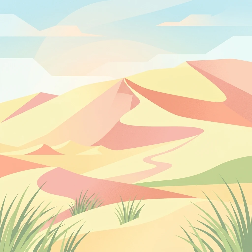
A stylized digital illustration of yellow and peach-toned sand dunes under a soft blue sky, with small patches of green grass in the foreground.
National parkRocha
About 74 km away#6 closest

South

Parque nacional Cabo Polonio: Coastal Geography and Marine Protected Area Atlas

Examining dune systems, coastal lagoons, and marine habitats

Analyze the geography of Parque nacional Cabo Polonio, a protected area in Uruguay's Rocha region. This atlas entry details the mosaic of transverse dunes, interdunal wetlands, rocky outcrops, and oceanic islands that define this significant coastal-marine protected landscape.

Area
258.2 km²
Established
2009
Relief
Lowland
Climate
Subtropical
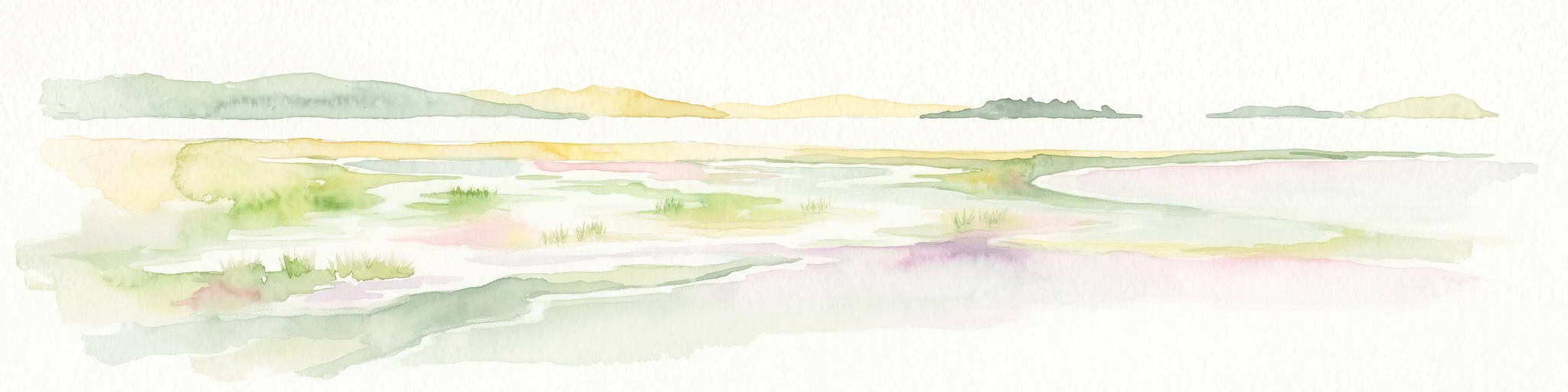
A horizontal watercolor illustration showing a shallow lagoon with soft green, yellow, and grey tones depicting vegetation, water, and distant low hills against a white background.
Protected landscapeRocha Department
109 km away#7 closest

Southwest

Laguna de Rocha Protected Landscape: Mapping Coastal Uruguay and its Dynamic Wetland Geography

Explore the unique barrier lagoon system and diverse coastal habitats of Rocha Department.

Laguna de Rocha functions as a vital coastal lagoon and wetland complex in southeastern Uruguay. Characterized by its shallow water and temporary sandbar breaches, the area supports a distinct mosaic of habitats, including dunes, reedbeds, and mudflats. Its status as a biosphere reserve and Important Bird Area underscores the ecological importance of this regional geography in providing a sanctuary for migratory waterbirds along the Atlantic coast.

Area
220 km²
Established
2010
Relief
Lowland
Climate
Temperate
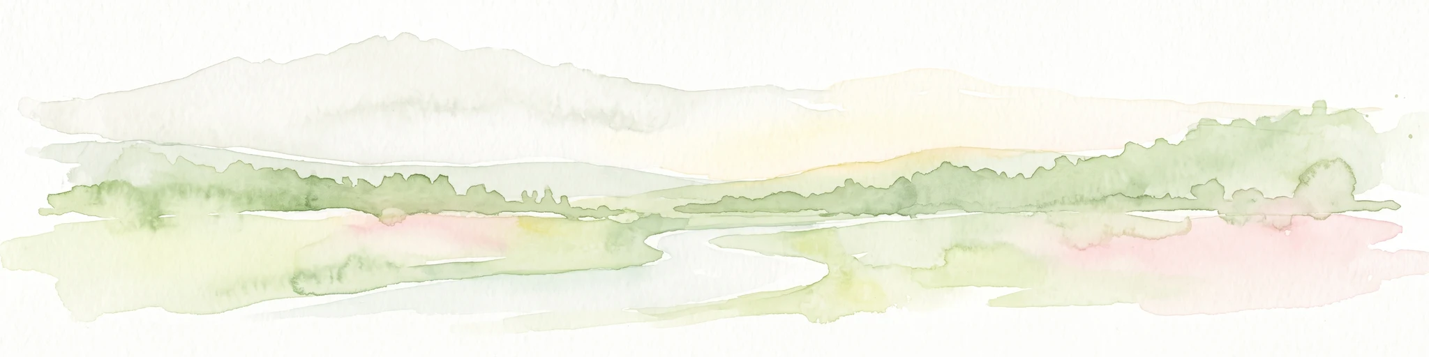
A soft watercolor illustration featuring a winding river flowing through a hilly, green landscape under a pale sky.
Protected landscapeTreinta y Tres Department
About 119 km away#8 closest

Northwest

Paisaje protegido Quebrada de los Cuervos y Sierras del Yerbal: Protected Landscape Atlas

Geographic analysis of gorge formations and eastern hill ecosystems.

Spanning ancient metamorphic terrain in Treinta y Tres Department, this protected landscape is defined by the steep-walled Quebrada de los Cuervos. The site offers an opportunity to study the intersection of stream-carved gorges, subtropical gallery forests, and high-elevation grasslands in a formal conservation setting.

Area
193.95 km²
Established
2008
Relief
Upland
Climate
Subtropical

Common questions about visiting, size, designation, and location context for San Miguel National Park

San Miguel National Park FAQs for park facts, access, geography, and protected area context

Find quick answers about San Miguel National Park, including protected-area facts, park geography, trail and visitor context, and how the park fits into its surrounding country and regional landscape.
MoriAtlas Explorer

Continue Your Protected Areas Search Across the Global Atlas

Deepen your exploration by continuing the structured search for national parks and protected areas worldwide. Utilize the comprehensive filtering capabilities to compare different conservation landscapes and refine your understanding of global park geography. Discover more about the distribution and characteristics of protected natural areas.

Global natural geography