Mori Atlas logo
Nearby park discovery

Browse the regional landscape context and mapped proximity of nearby protected lands.

Protected Areas and Nature Reserves Geographically Near Phönix Nord in Thuringia

Navigate the geographic surroundings of the Phönix Nord nature reserve to identify neighboring protected areas within Thuringia. This atlas-focused view provides a map-based perspective on how Phönix Nord relates to the broader network of conserved lands in the Altenburger Land district and surrounding border zones. Compare regional terrain and analyze the spatial distribution of protected habitats near this post-mining restoration site.

Related tags

nature reserveNaturschutzgebietpost-mining landscapehabitat restorationconservation grazing

A reclaimed lignite mining landscape turned into a managed nature reserve in eastern Thuringia.

Phönix Nord

Phönix Nord is a German nature reserve (Naturschutzgebiet) located in the Altenburger Land district of Thuringia, in the east of the country. The site covers roughly 167 hectares of land west of the village of Prößdorf, near the town of Lucka, and borders the state boundaries of Saxony to the north and Saxony-Anhalt to the west. It lies in a landscape shaped by former lignite open-cast mining and has been transformed through renaturation into a mosaic of habitats that support regionally rare plants and animals. The reserve was established in 2008 and is classified under IUCN Category IV as a Habitat and Species Management Area. Its identity is closely tied to the earlier Phönix-Nord open-cast mine, which operated between 1962 and 1968 before being closed early and partially backfilled. Today the area is managed as a protected landscape with grazing large herbivores, public walking access under defined rules, and ongoing cooperation with regional conservation partners. Phönix Nord is notable as an example of post-mining landscape restoration in central Germany, where industrial dereliction has been turned into a functional mosaic of heath, woodland, scrub, and rewilded slopes. It forms part of a wider network of small protected areas in the Altenburger Land district and is one of several reserves in the region that have grown out of former brown coal workings.

Location
Germany
Park type
Nature reserve
Established
2008
Area
1.7 km²
Phönix Nord Nature Reserve Geography
Regional park map

See the ranked park cluster in its geographic setting

Nearby parks around Phönix Nord

This regional map shows the same 20 nearby parks ranked below around Phönix Nord. Select a ranked marker to highlight that park’s boundary where boundary data is available.
Reference park: Phönix NordRanked nearby park20 nearby parks shown
20 nearby parks

Geographic proximity, direction signals, and environmental comparison metrics for nearby reserves

Ranked Protected Areas and Surrounding Regional Parks Near Phönix Nord

Explore the distance-ranked collection of protected areas situated geographically near Phönix Nord to evaluate surrounding landscape patterns and regional boundaries. Compare recorded environmental characteristics across neighboring habitats to understand how regional conservation territories connect across the landscape.
A horizontal watercolor illustration depicting a wetland landscape with grassy banks, a winding stream, and reeds.
Nature reserveSachsen
About 16 km away#1 closest

East

Eschefelder Teiche: Protected Wetland Landscapes and Pond Geography in Sachsen

Historic water basins and regional wetland habitats

The Eschefelder Teiche nature reserve occupies a distinctive position in the Saxon landscape, tracing a historic chain of artificial ponds from Frohburg to Eschefeld. This protected area offers insight into managed wetland ecosystems, featuring the expansive Großteich and preserved heritage structures like the Teichhaus complex, which remain central to local conservation and bird populations.

Area
5.62 km²
Relief
Lowland
Climate
Temperate
Access
Easy access
A horizontal watercolor painting depicting a soft-focus forest in the foreground and rolling hills in the background.
Nature reserveThuringia
About 18 km away#2 closest

Southeast

Leinawald Nature Reserve: Mapping the Protected Forests and Wetland Habitats of Eastern Thuringia

A comprehensive look at the landscape geography, pond networks, and conservation status of this German woodland.

Leinawald represents a unique confluence of historical forestry, wartime heritage, and ecological recovery within the Altenburger Land region. The area is defined by its loess-mantled ridges and periodic wetland valleys, containing a complex grid of ponds, brooks, and secondary habitats formed in former quartz quarries. Understanding the environmental layers of this site reveals the intersection of natural vegetation potential and 20th century landscape transformation.

Area
18.437 km²
Established
1961
IUCN
IV
Relief
Upland
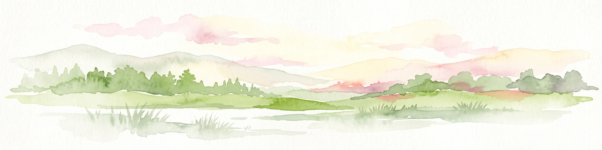
A horizontal watercolor painting showing a tranquil lake with soft green hills and sparse vegetation along the shoreline under a pale, warm sky.
Nature reserveSachsen
About 19 km away#3 closest

East

Bockwitz Nature Reserve: Mapping the Industrial Reclamation Landscapes of Sachsen, Germany

A Protected Mosaic of Rewetted Lakes and Mining Follow-on Terrain

Spanning 545 hectares, the Bockwitz nature reserve offers a unique look at the transformation of former lignite opencast pits into a thriving wetland habitat. The protected area is characterized by its significant residual water bodies, including Bockwitzer See and the Südkippe pit, which showcase the evolution of Sachsen landscape geography following industrial decline. This site serves as a vital example of habitat management within an anthropogenic environment.

Area
5.454 km²
Established
2003
IUCN
IV
Water
Major water bodies
Protected landscapeThuringia
About 26 km away#4 closest

Southwest

Zaufensgraben Protected Landscape: Geography and Natural Boundaries in Thuringia, Germany

A steep-sided stream valley and protected nature corridor near Gera

Zaufensgraben is a protected landscape corridor centered on a three-kilometer stream valley in Gera, Thuringia. Renowned for its steep gradient within the Weiße Elster system, this area preserves older willow stands and exposes complex Zechstein geology. Its mapped boundaries offer a look at how small-scale protected terrain maintains ecological character within an urbanized historical setting.

Area
0.11 km²
Relief
Upland
Scope
Terrestrial
Water
Minor water
A soft watercolor painting depicting a serene floodplain forest with trees, grasses, and a winding stream, rendered in light green and muted tones.
Nature reserveLeipzig
About 31 km away#5 closest

North

Burgaue Nature Reserve: Alluvial Forest and Hydrological Geography in Leipzig, Germany

Protected floodplain woodland and restored wetland corridors.

Burgaue is a distinctive nature reserve forming the northwestern anchor of the Elster Luppe floodplain. This urban-adjacent protected area preserves a complex topography of historic river channels, wet depressions, and hardwood forest. Through recent hydrological restoration, the landscape maintains its status as a vital riparian habitat and a significant element of the regional Saxon environment.

Area
2.7 km²
Established
1367
Relief
Lowland
Climate
Temperate
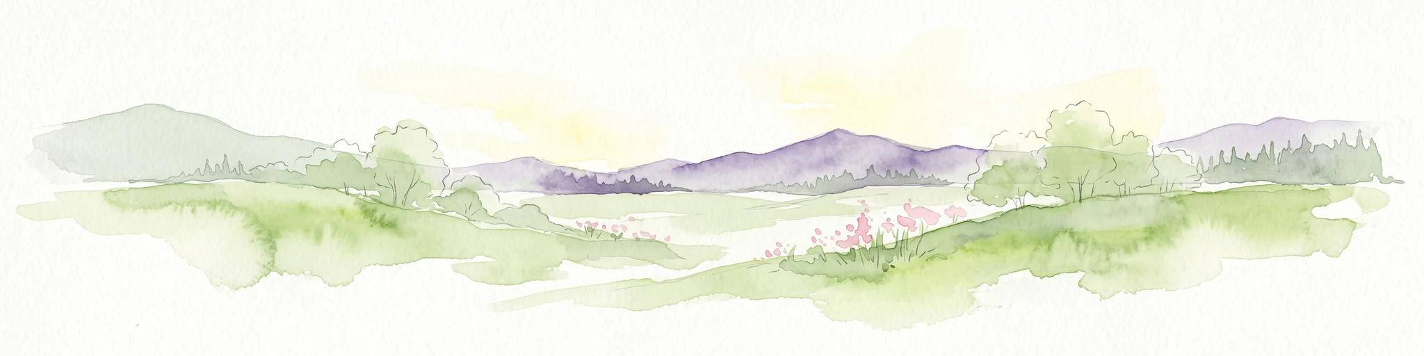
A horizontal watercolor illustration showing soft green rolling hills, trees, and a pale yellow sky.
Nature reserveSaxony
About 32 km away#6 closest

Northeast

Alte See, Ruhmberg Nature Reserve: Geographic Atlas of a Protected Landscape in Saxony

Ecological recovery of former military sites in the German lowlands.

Situated in the Landkreis Leipzig, the Alte See, Ruhmberg nature reserve offers a complex study in land use and conservation. The protected area features a unique transition between alder carr wetlands along the Parthe river and the dry, open grasslands of the Ruhmberg hill, creating a high-density biodiversity hotspot within the broader context of Saxon geography.

Area
2.66 km²
Established
2015
IUCN
IV
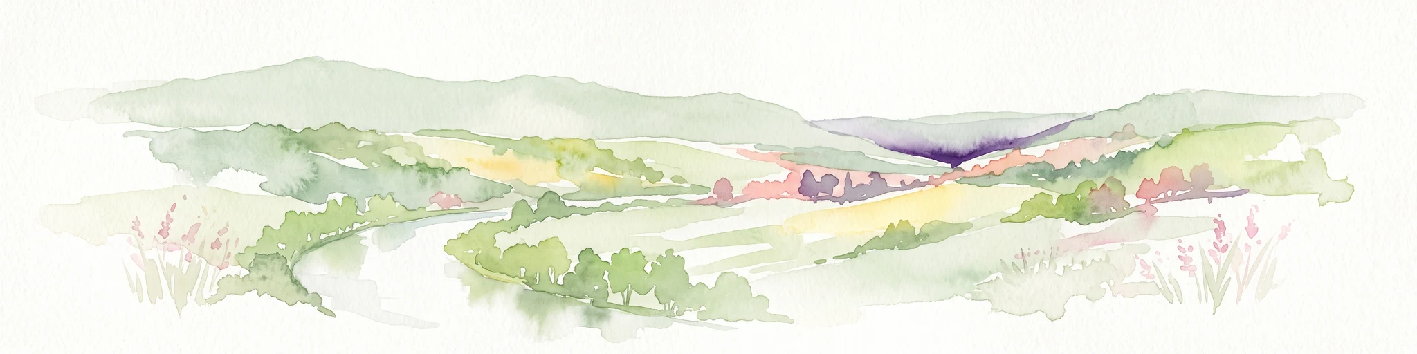
A watercolor landscape painting showing a winding river flowing through a valley surrounded by gentle hills, trees, and fields.
Protected landscapeSachsen-Anhalt
About 34 km away#7 closest

West

Naturpark Saale-Unstrut-Triasland Protected Landscape Geography and Regional Atlas

Mapping the geology and cultural terrain of Sachsen-Anhalt.

The Naturpark Saale-Unstrut-Triasland serves as a critical study in how river systems like the Saale and Unstrut shape central German terrain. Its status as a Geo-Naturpark reflects the area's visible Triassic rock layers, which anchor a landscape of vineyards, floodplain meadows, and historic medieval landmarks that stretch across the region.

Area
1,037 km²
Established
1991
Relief
Upland
Climate
Temperate
Nature reserveSaxony
About 37 km away#8 closest

Southeast

Um die Rochsburg Nature Reserve: Geography and Protected River Valley Landscapes in Saxony

A vital riverine conservation zone along the Zwickauer Mulde.

Spanning over 250 hectares, Um die Rochsburg protects the steep, wooded slopes of the Zwickauer Mulde and Brausebach valleys. This nature reserve highlights the regional importance of river-influenced terrain and managed habitat corridors within the Mittelsachsen landscape of Saxony.

Area
2.596 km²
Established
1961
IUCN
IV
Protected areaThuringia
About 44 km away#9 closest

South

Wälder um Greiz und Werdau: Protected Landscape and Regional Woodland Atlas for Thuringia

Continuous forest terrain on the Thuringia and Saxony border

The protected landscape of Wälder um Greiz und Werdau covers rolling hills and valleys between the Pleiße and Weiße Elster rivers. Use this atlas resource to understand the park's mapped boundaries, forest pond distribution, and its role as a green corridor between regional townscapes.

Area
62 km²
Established
1961
Relief
Upland
Climate
Temperate
Nature reserveThuringia
About 45 km away#10 closest

West

Lohholz Nature Reserve: Protected Forest and Meadow Mosaic in Thuringia

Mapped deciduous woodlands and river valley meadow geography

Lohholz constitutes an isolated nature reserve in Thuringia, showcasing a distinct mosaic of broadleaf forest and traditional orchard meadows. The terrain slopes toward the Saale river valley, featuring varied grassland communities and a vital spring-fed brook. This protected area offers a look at forest preservation within a landscape predominantly utilized for agricultural purposes.

Area
0.304 km²
Established
1995
IUCN
IV
Relief
Upland
Nature reserveSaxony
About 46 km away#11 closest

South

Waschteich Reuth Nature Reserve: Mapped Wetland Landscapes of the Saxony Vogtland

Protected pond habitats and regional woodland ecosystems

Waschteich Reuth serves as a compact yet ecologically rich nature reserve in the Vogtland. Its protected boundaries encompass a traditional pond with floating-leaf vegetation, damp meadows, and native oak-hornbeam forest. This site stands as a prime example of Saxony's wetland heritage, illustrating the importance of small-scale habitat preservation within the broader German river network.

Area
0.212 km²
Established
1995
Water
Major water bodies
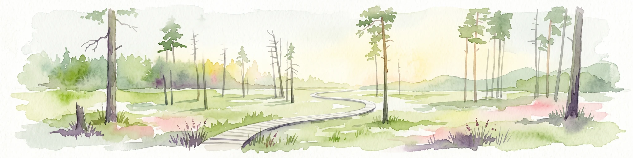
A horizontal watercolor painting of a wooden boardwalk path cutting through a forest clearing with scattered pine trees, rendered in soft light tones.
Nature reserveThuringia
About 50 km away#12 closest

South

Pöllwitzer Wald Nature Reserve: Geographic Overview and Protected Area Mapping

Historic forest landscapes in the Thuringia region

Pöllwitzer Wald represents a dense, historically significant nature reserve located near the Thuringia and Saxony border. This detailed overview covers the essential geographic features, including the unique moorland basin, coniferous forest transitions, and the remnants of early modern log floating infrastructure that shaped the regional topography.

Area
9.62 km²
Relief
Upland
Climate
Temperate
Access
Easy access
Nature reserveSachsen
About 51 km away#13 closest

East

Scheergrund Nature Reserve: Geographic Atlas and Protected Landscape Overview

Mapping the geology and woodland history of the Leisnig region

Scheergrund functions as a vital nature reserve and geological reference site within the Saxon landscape. This area provides insight into Holocene tufa systems, ancient dam structures, and the complex interplay between spring-fed stream morphology and human development in the Freiberger Mulde tributary valley.

Area
0.578 km²
Established
1961
IUCN
IV
Nature reserveThuringia
About 52 km away#14 closest

West

Windknollen Nature Reserve: Mapping Protected Limestone Landscapes in Thuringia

Examining the plateau geography and former training site boundaries

The Windknollen nature reserve occupies a distinct position on the Muschelkalk limestone plateau near Jena. Its protected status reflects an evolution from historical battlefield use to a formal conservation area within the National Natural Heritage framework. The terrain is defined by exposed; dry-adapted vegetation across 185 hectares of highland geography.

Area
1.851 km²
Established
1997
IUCN
IV
Nature reserveSaxony
About 53 km away#15 closest

Northeast

Vereinigte Mulde Eilenburg, Bad Düben: Protected Floodplain Landscapes of Saxony

Riparian river geography and protected meadow corridors

Spanning over 1,400 hectares along the Mulde river, this nature reserve in Nordsachsen preserves an essential lowland river system. The protected area encompasses diverse riparian forests, oxbow features, and flood meadows that define the natural character of the unified Mulde valley between the towns of Eilenburg and Bad Düben.

Area
14.53 km²
Established
2001
IUCN
IV
Relief
Lowland
A soft watercolor painting of a green landscape with trees, rolling hills, and a body of water under a light sky.
Nature reserveThuringia
About 54 km away#16 closest

West

Jenaer Forst Nature Reserve: Mapping the Protected Limestone Plateau and Forest Terrain

Protected nature reserve in Thuringia, Germany

Jenaer Forst is a 540 hectare nature reserve in Thuringia, characterized by dry calcareous woodland and active restoration work. The site is a study in landscape recovery, balancing forest management with the protection of orchid-rich habitats on its limestone plateau. This detailed atlas entry provides insights into the park boundaries, geological features, and ecological significance of this peri-urban forest zone.

Area
5.411 km²
Established
2008
IUCN
IV
A horizontal watercolor illustration showing green rolling hills, distant light green ridges, and sparse trees against a white background.
Nature reserveThuringia
About 56 km away#17 closest

Southwest

Spitzenberg-Schießplatz Rothenstein-Borntal Nature Reserve and Saale Valley Geography

Protected forest and grassland terrain in Thuringia

Spitzenberg-Schießplatz Rothenstein-Borntal is a protected nature reserve in Thuringia, covering hundreds of hectares of forest slopes, plateaus, and open clearings. This reserve is recognized for its unusual structural diversity, ranging from closed valley woodland to sun-exposed semi-dry grassland, providing essential habitat within the middle Saale valley region.

Area
5.542 km²
Established
1961
IUCN
IV
Nature reserveSachsen
About 56 km away#18 closest

Southeast

Hartensteiner Wald Nature Reserve: Saxon Protected Landscapes and Regional Geography

Woodland habitat and river valley terrain in Zwickau

Hartensteiner Wald functions as a key Natura 2000 protected area within the Free State of Sachsen. This reserve offers a layered landscape of native beech woodlands, steep valley slopes, and striking rocky outcrops along the Zwickauer Mulde. Use this atlas perspective to map the reserve's historic features, such as the Prinzenhöhle and Knoblauchfelsen, while understanding its conservation role in the broader Erzgebirge transition zone.

Area
0.89 km²
Established
1961
IUCN
IV
Relief
Upland
Nature reserveThuringia
About 57 km away#19 closest

Southwest

Leutratal und Cospoth Nature Reserve: Mapping Calcareous Grasslands in Thuringia

A study of limestone slopes and orchid-rich habitats in central Germany

Leutratal und Cospoth serves as a prime example of protected Muschelkalk landscape in Thuringia. This reserve captures the complex transition between open grasslands, scrub, and beech forests within the middle Saale valley, offering deep insights into the region's unique geological and botanical heritage.

Area
5.829 km²
Established
1961
IUCN
IV
Relief
Upland
Nature reserveSachsen
About 58 km away#20 closest

Southeast

Um den Eibsee: A Detailed Atlas and Geographic Overview of the Saxony Nature Reserve

Examining the terrain, lake basin, and regional landscape context.

Located near Chemnitz, the Um den Eibsee nature reserve represents a managed cultural landscape spanning 39 hectares. This area integrates the Eibsee lake with surrounding open pastures, protected specifically to prevent habitat loss through active conservation grazing. Gain insights into the boundary mapping and ecological structure that define this unique Saxon protected area.

Area
0.39 km²
Established
2000
IUCN
IV
Relief
Lowland
Distance methodology

Geographic measurements, not driving distances

How nearby park distances are calculated

Distances use park boundaries whenever the available geometry allows it. When one or both boundaries are missing, the mapped park locations provide a clearly labelled estimate. Every value represents straight-line geographic separation and does not use roads or routing.

Boundary distance

Calculated between the nearest points of both park boundaries.

Location-to-boundary estimate

Estimated from one mapped park location to the nearest boundary of the other park.

Mapped-location estimate

Estimated between the mapped locations of both parks.

MoriAtlas Explorer

Examine the Mapped Geography and Protected Boundaries of Phönix Nord

Access the MoriAtlas record for Phönix Nord to trace the boundaries and regional context of this Thuringian nature reserve. Analyze how this post-mining landscape serves as a protected mosaic of habitats, and examine its position within the broader environmental network of central Germany.