Mori Atlas logo
National parkPieljekaise National Park

Discover the protected geography and mapped terrain of Sweden's historic Lapland national park.

Pieljekaise National Park: Primeval Birch Woodland and Glacial Landscape in Norrbotten County

Pieljekaise National Park, established in 1909, represents a significant protected area within Norrbotten County, Sweden, and is a prime example of boreal birch woodland. This park's landscape is defined by a U-shaped glacial valley, rolling hills carpeted in ancient birch forests resembling primeval woods, and distinctive twin peaks. As a key feature along the Kungsleden hiking trail, Pieljekaise offers a unique opportunity for atlas-driven exploration of northern Scandinavian geography and its protected natural heritage.

National ParkSwedenLaplandBoreal ForestBirch WoodlandKungsleden

Pieljekaise National Park

National park

Park overview

Structured park overview, official facts, and landscape profile for Pieljekaise National Park

Pieljekaise National Park park facts, protected area profile, and essential visitor context
Review the core facts for Pieljekaise National Park, including designation, size, terrain, visitor scale, habitats, and operating context in one park-focused overview.

About Pieljekaise National Park

Pieljekaise National Park stands as one of Sweden's nine original national parks established in 1909, representing a pioneering effort in European conservation. The park is located in the heart of Swedish Lapland, within the vast wilderness of Norrbotten County, approximately 10 kilometers south of Jäkkvik village in Arjeplog Municipality. The reserve encompasses 153.4 square kilometers of predominantly birch-dominated woodland, a landscape that has remained relatively undisturbed and retains characteristics of natural primeval forest. The park's terrain is characterized by gentle, rolling hills covered in birch woodland, with the land rising from the valley floor to approximately 800 meters elevation where mountain birch forest transitions to alpine heath communities. The southern portion of the park contains a cluster of lakes supporting rich fish populations, and the landscape is intersected by the renowned Kungsleden hiking trail, which provides access to this remote wilderness area and connects to the expansive Vindelfjällens Nature Reserve to the north. The geological foundation consists of gneissic mica schist and amphibolite bedrock, overlaid with the glacial deposits that shaped the characteristic U-shaped valley during the final stages of the last Ice Age. The park's administrative oversight falls under Naturvårdsverket, the Swedish Environmental Protection Agency, and the area remains an important reference site for understanding the ecology of northern boreal birch forests.

Quick facts and research context for Pieljekaise National Park

Pieljekaise National Park is situated in northern Sweden's Lapland region within Norrbotten County, approximately 10 kilometers south of Jäkkvik in Arjeplog Municipality. The park spans 153.4 square kilometers and was established in 1909, making it one of Sweden's original national parks. The landscape is dominated by extensive birch woodland that retains a primeval character, with the terrain rising to approximately 800 meters where mountain birch forest gives way to alpine heaths. The park lies within the Semisjaur-Njarg Sami village's traditional territory and contains geological features shaped by glacial processes at the end of the last Ice Age. The Kungsleden hiking trail passes through the park, connecting it to a vast network of protected areas in Swedish Lapland.

Park context

Deeper park guide and search-rich context for Pieljekaise National Park

Pieljekaise National Park history, landscape, wildlife, and travel context
Explore Pieljekaise National Park through its history, landscape character, ecosystems, wildlife, conservation priorities, cultural context, and seasonal travel timing in a structured park guide built for atlas discovery and search intent.

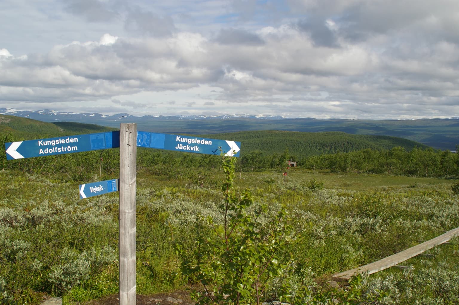
Why Pieljekaise National Park stands out

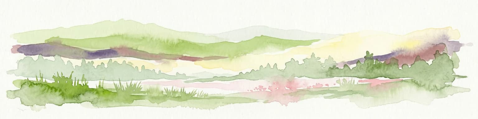
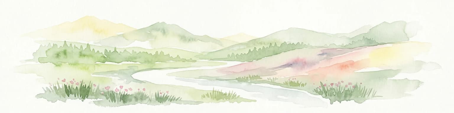
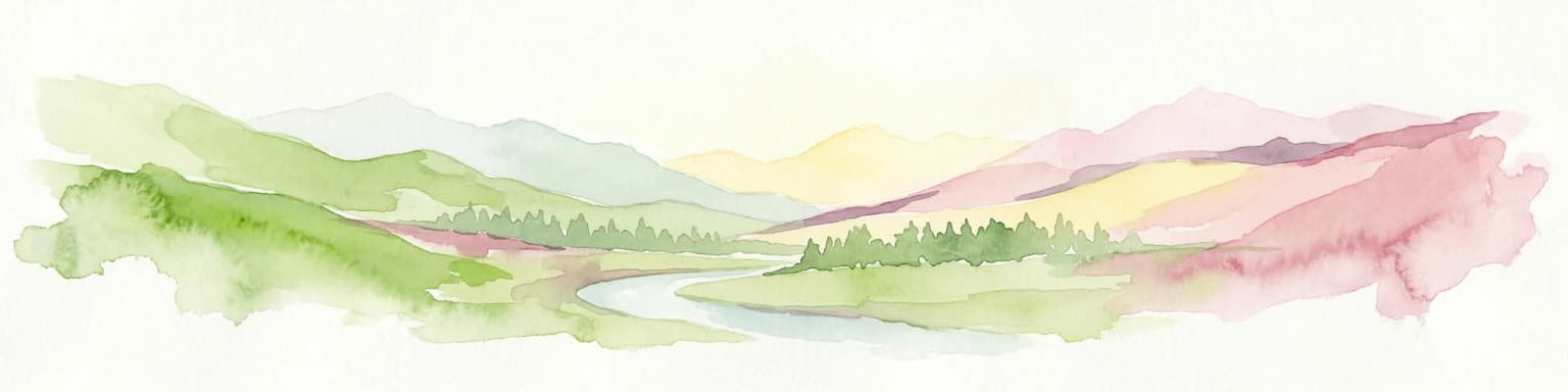
Pieljekaise is best known for its extensive, nearly untouched birch forest that represents one of the finest examples of boreal birch woodland in Scandinavia. The park's birch woods are described as resembling a primeval forest, with the northern slopes supporting particularly rich meadow birch forest where buttercups bloom abundantly in spring. The landscape is defined by the glacial U-shaped valley formed during the last Ice Age, with two distinctive peaks that give the park its name, Pieljekaise derives from the Sami words for "ear" and "pointed peak," referring to the peaks' resemblance to ears. The park is also renowned for its position along the Kungsleden, one of Sweden's most celebrated long-distance hiking trails, and for the rich fish populations in its southern lake district.

Blue signpost with white text and arrows indicating trail directions in Pieljekaise National Park, surrounded by green vegetation and distant mountains under a cloudy sky
Trail signpost at crossroads in Pieljekaise National Park with directional arrows pointing to Kungsvägen Adolfsstråm and Kungsvägen Jäckvik

Pieljekaise National Park history and protected-area timeline

Pieljekaise National Park was founded in 1909 alongside eight other Swedish national parks, representing one of the earliest systematic efforts in Europe to establish protected areas for nature conservation. This pioneering initiative came at a time when the ecological importance of boreal forest ecosystems was just beginning to be recognized. In 2015, the park received 280,000 SEK in national park funding allocated specifically for renovation projects, reflecting ongoing investment in maintaining and improving the protected area's infrastructure and visitor facilities. The park lies within the traditional territory of the Semisjaur-Njarg Sami community, and the area has been inhabited by the Sami people for millennia. Prior to the establishment of reindeer herding as the dominant livelihood, local Sami communities relied on hunting wild reindeer, and the landscape contains archaeological evidence of their presence including remains of kåta (traditional Sami tent sites), hearths, and specialized pit traps used for capturing wild reindeer.

Pieljekaise National Park landscape and geographic character

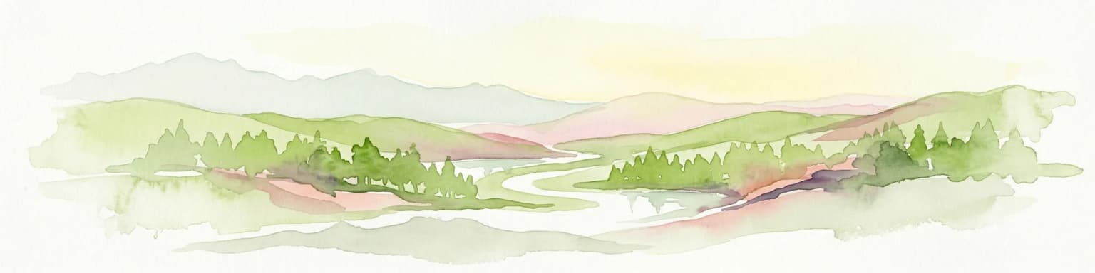
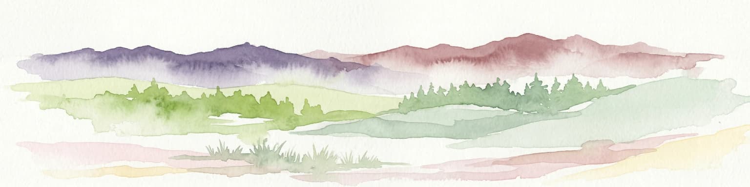
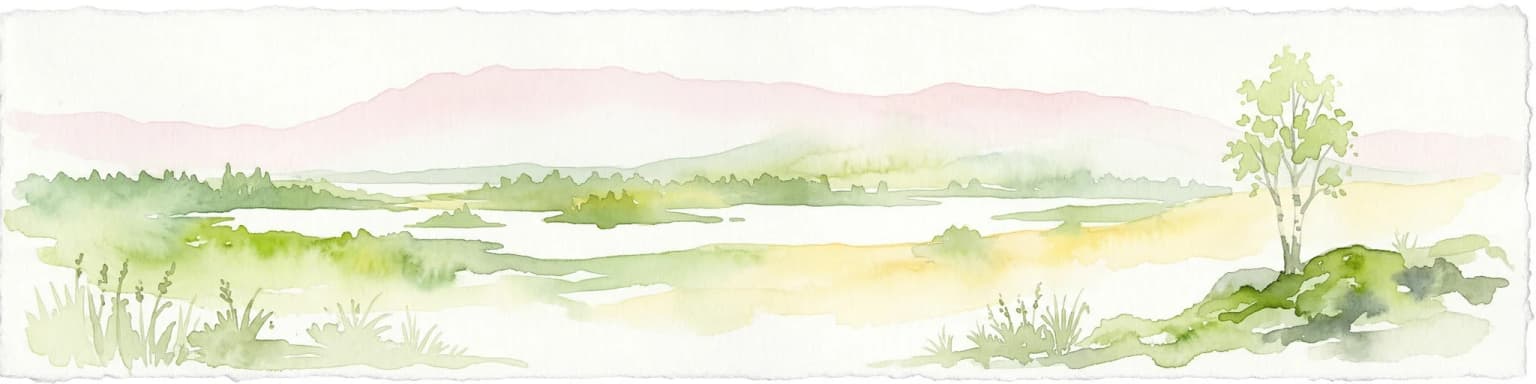
The physical landscape of Pieljekaise National Park is defined by its glacial origins and boreal forest character. The underlying bedrock consists of ancient gneissic mica schist and amphibolite, formations that date back hundreds of millions of years. During the final stages of the last Ice Age, approximately 9,000 years ago, glacial processes carved a distinctive soft U-shaped valley that remains the dominant topographic feature of the park. The terrain consists of rolling hills covered in dense birch woodland, with the elevation ranging from the valley floor to approximately 800 meters above sea level where the birch forest gives way to open alpine heath. The park contains two prominent peaks that form the namesake of the reserve—these twin summits resemble ears when viewed from certain angles, which explains the etymology of Pieljekaise derived from the Sami words for "ear" and "pointed peak." The southern portion of the park features a cluster of lakes connected by waterways, with Lutaure serving as a notable waterbody with a rowing route across its waters.

Pieljekaise National Park ecosystems, habitats, and plant life

The ecological character of Pieljekaise is defined by its extensive birch forest ecosystems, which represent one of the best-preserved examples of boreal birch woodland in Scandinavia. Up to elevations of approximately 800 meters, the park is covered in mountain birch forest, with the northern slopes supporting particularly rich meadow birch forest communities. The springtime vegetation is notably spectacular, with buttercups blooming in abundant quantities across the meadow birch forest in May and June. The flora becomes increasingly diverse as summer progresses, with midsummer flowers, mountain avens, cloudberry blossoms, northern monkshood, angelica, and bride's brush creating colorful displays. Above the tree line, the alpine heath supports a more limited but distinctive flora including crowberry, dwarf birch, and heather. The southern lake district supports aquatic vegetation and provides critical habitat for various species, with the lakes offering rich fishing opportunities.

Pieljekaise National Park wildlife and species highlights

The wildlife communities of Pieljekaise reflect the boreal and alpine character of the park. The forested areas support bird species including siskin and brambling, while the open mountain heaths above the tree line are home to golden plover, meadow pipit, and ptarmigan. The park's marshes and wetlands come alive during the breeding season, with common snipe, greenshank, redshank, and ruff nesting in the wet meadows. Mammal species present in the park include red fox, weasel, mountain hare, and elk, representing the typical fauna of northern Swedish forests. The extensive birch forest and mosaic of habitats support a diverse community of species adapted to the harsh boreal environment, while the proximity to the Vindelfjällens Nature Reserve provides connectivity to a larger ecosystem network.

Pieljekaise National Park conservation status and protection priorities

Pieljekaise National Park plays an important role in the conservation of boreal birch forest ecosystems in northern Europe. As one of Sweden's original national parks established in 1909, the reserve has protected its birch woodlands for over a century, allowing natural processes to proceed with minimal human interference. The park's designation as an IUCN Category II protected area reflects its primary objective of protecting natural ecosystems while allowing for sustainable recreation and environmental education. The birch forest communities within the park represent some of the most intact examples of this habitat type in Scandinavia, serving as reference sites for understanding natural forest dynamics. The connection to Vindelfjällens Nature Reserve, one of Europe's largest protected areas, creates a significant conservation corridor that supports biodiversity across a broad geographic extent. The 2015 renovation funding demonstrates continued institutional commitment to maintaining the park's conservation values and visitor infrastructure.

Pieljekaise National Park cultural meaning and human context

Pieljekaise holds significant cultural importance as part of the traditional lands of the Semisjaur-Njarg Sami community. The Sami people have inhabited this region of Lapland for millennia, and the landscape contains tangible evidence of their historical presence and traditional land use practices. Prior to the development of reindeer herding as the dominant economic activity, local Sami communities subsisted primarily through hunting wild reindeer, which were once abundant in the region. Archaeological remains within the park include locations of former kåta (traditional Sami conical tents), ancient hearths, and the distinctive pit traps dug into the ground to capture wild reindeer during seasonal migrations. The park's name itself derives from the Arjeplog Sami language—Beljijgáisse—which is a compound word meaning "pointed peak of the ears," describing the distinctive twin peaks that dominate the landscape.

Top sights and standout views in Pieljekaise National Park

Pieljekaise National Park offers visitors a rare opportunity to experience one of Scandinavia's most pristine birch forest landscapes, virtually unchanged since the park's establishment in 1909. The primeval character of the birch woods, particularly on the northern slopes with their abundant spring wildflowers, represents a ecological treasure of international significance. The park's location along the Kungsleden trail makes it accessible to hikers traversing Sweden's most celebrated long-distance path, while the presence of an overnight cabin allows for extended stays. The glacial U-shaped valley and the distinctive twin peaks provide dramatic visual landmarks, and the southern lake district offers fishing opportunities in a remote wilderness setting. The park's deep connections to Sami heritage, with archaeological evidence of traditional lifeways spanning millennia, add cultural depth to the natural landscape.

Best time to visit Pieljekaise National Park

The optimal time to visit Pieljekaise National Park is during the summer months of June through August, when the birch forest is in full leaf and the midnight sun illuminates the landscape for extended periods. Spring brings an especially dramatic display of wildflower bloom, with buttercups carpeting the meadow birch forest in May and June, though conditions can still be cool and variable. The long summer days allow for extended hiking along the Kungsleden, and the lakes are accessible for fishing. Autumn offers the opportunity to witness the birch foliage turning golden, though the visiting season becomes shorter as temperatures decline. Winter brings harsh conditions with limited access, as snow covers the landscape and temperatures drop well below freezing. The shoulder seasons of late spring and early autumn offer fewer visitors and the chance to experience the park's changing character, though visitors should be prepared for variable weather and limited facilities outside the peak summer season.

Park location guide

Geography guide, regional context, and park location map for Pieljekaise National Park

Pieljekaise National Park park geography, regions, and map view in Sweden
Understand where Pieljekaise National Park sits in Sweden through a broader geographic reading of the surrounding landscape, nearby location context, and its mapped position within the national park landscape.

How Pieljekaise National Park fits into Sweden

Sweden, formally the Kingdom of Sweden, is a highly developed Nordic country on the Scandinavian Peninsula in Northern Europe. With a population of 10.6 million and an area of 450,295 km², it is the largest Nordic country by both area and population. Sweden is a constitutional monarchy with Stockholm as its capital and largest city, known for its advanced economy, social welfare system, and membership in the European Union and NATO.

Wider geography shaping Pieljekaise National Park in Sweden

Sweden occupies the eastern portion of the Scandinavian Peninsula in Northern Europe. It borders Norway to the west and north, Finland to the east, and shares a maritime border with Denmark to the southwest across the Øresund. The country has an extensive coastline along the Baltic Sea and Gulf of Bothnia, dotted with thousands of islands. The terrain varies from mountainous regions in the northwest to low-lying coastal areas and inland lakes in the south and central parts.

Map view of Pieljekaise National Park

Use this park location map to pinpoint Pieljekaise National Park in Sweden, understand its exact geographic position, and read its mapped placement within the surrounding landscape more clearly.

Pigeon | © OpenStreetMap contributors

Location context for Pieljekaise National Park

Norrbotten County

Trace the unique landscape character, primeval birch forests, and glacial terrain that define Pieljekaise National Park in Swedish Lapland.

Pieljekaise National Park Photos: Explore its Boreal Birch Forests and Arctic Lapland Scenery
Browse photographs of Pieljekaise National Park to understand its distinctive boreal birch forest landscapes and significant protected terrain in Sweden's Lapland region. These images provide critical visual context for exploring the park's glacial U-shaped valleys, rolling hills, and pristine lake environments, offering an essential perspective on its natural and conservation value.

Blue signpost with white text and arrows indicating trail directions in Pieljekaise National Park, surrounded by green vegetation and distant mountains under a cloudy sky

Park atlas

Map the surrounding protected landscapes and compare adjacent parks in Sweden's Lapland region

Continue Your Discovery: Explore Other National Parks Near Pieljekaise National Park
Browse national parks and protected areas adjacent to Pieljekaise National Park, including the vast boreal birch woodlands and glacial landscapes found across Sweden's remote Lapland region. Compare their unique features, geographic spread, and conservation focuses to deepen your understanding of northern European protected-area ecosystems.
Watercolor illustration of a landscape with rolling hills, a river, and trees
National parkNordland

Junkerdal National Park: Protected Arctic-Alpine Landscape in Nordland, Norway

Explore mapped boundaries and unique geographic context.

Delve into Junkerdal National Park, a significant protected area within Nordland county, Norway. This national park is celebrated for its rich arctic-alpine flora, including rare plant species that thrive at their southernmost European range. The varied landscape, shaped by glacial activity, features dramatic mountain valleys and alpine plateaus, offering a distinct geographic profile. Understand its protected status and mapped terrain, providing a critical point of discovery for regional landscape context.

Area
682 km²
Established
2004
IUCN
II
Relief
Mountain
Watercolor illustration of a mountainous landscape with a river, grass, and distant hills
National parkNorrbotten County

Sarek National Park: Mapping Sweden's Rugged Alpine Wilderness and Glacial Terrain

Explore the mapped geography of Norrbotten County's largest alpine national park.

Sarek National Park represents the heart of Sweden's alpine wilderness, a protected landscape defined by its towering mountain peaks, expansive glaciers, and deeply carved glacial valleys. Situated in Norrbotten County, the park's geography is characterized by a remote and rugged terrain, making it a prime destination for understanding high-altitude natural environments through mapped context. Discover the unique contours of this iconic national park and its place within the broader regional geography of Swedish Lapland.

Area
1,970 km²
Established
1909
IUCN
II
Relief
Mountain
Watercolor illustration of a winding river through a green landscape with distant mountains
National parkNorrbotten County

Padjelanta National Park: Sweden's Largest National Park Protected Plateau Landscape

Explore subarctic terrain, large lakes, and Laponia World Heritage Site geography.

Padjelanta National Park, situated in Norrbotten County, is Sweden's largest national park. It features a distinctive subarctic plateau ecosystem centered around two vast lakes, offering a starkly open landscape compared to adjacent alpine areas. This protected area is renowned for its exceptional botanical and lichen diversity, a vital part of the Laponia World Heritage Site. Users can explore its mapped geography, unique terrain, and the cultural significance of this expansive arctic wilderness.

Area
1,984 km²
Established
1963
IUCN
II
Relief
Highland
Watercolor illustration showing mountains, a river, and colorful landscape regions
National park

Saltfjellet, Svartisen National Park: Glacial Terrain & Protected Arctic Wilderness

Norway's vast national park with Svartisen glacier and unique flora.

Saltfjellet, Svartisen National Park spans over 2,100 square kilometers of diverse protected wilderness in Northern Norway. Renowned for Svartisen, Scandinavia's second-largest glacier, its landscape transitions from coastal influences to alpine plateaux. The park's calcareous bedrock supports a rich flora, rare in the region, contributing to its distinct geographic identity. Explore the mapped boundaries and natural terrain of this significant protected landscape.

Area
2,192 km²
Established
1989
IUCN
II
Relief
Mixed relief
National park

Láhko National Park: Northern Norway's Protected Arctic Landscape and Geographic Atlas Entry

Mapped boundaries and terrain of a key Finnmark national park.

Láhko National Park is a significant protected area within Norway's Finnmark region, representing a vast expanse of sub-Arctic wilderness and characteristic tundra ecosystems. This park serves as a crucial element in the atlas of northern European protected lands, offering insights into the geographic features and ecological integrity of high-latitude environments. Explore Láhko National Park through MoriAtlas to understand its landscape context, mapped terrain, and its role in preserving Nordic wilderness.

Watercolor illustration showing mountains, a river, and forests in a landscape
National parkNordland

Rago National Park: Northern Norway's Protected Mountain Wilderness and Transboundary Atlas

Explore the mapped terrain and unique landscape context of this significant protected area.

Rago National Park is a protected national park in Nordland, Norway, recognized for its challenging mountainous terrain and its crucial role as part of a vast transboundary protected area complex spanning into Sweden. The park's landscape features alpine lakes and glaciers, offering a stark representation of northern Scandinavian mountain wilderness. Understanding Rago National Park provides insight into regional conservation efforts and the geographic significance of large-scale protected lands in Europe.

Area
171 km²
Established
1971
IUCN
II
Relief
Mountain
National parkNordland

Sjunkhatten National Park: Norway's Protected National Park Identity and Geographic Atlas

Mapped landscape context and regional geography details.

Explore the structured geographic data and protected landscape context for Sjunkhatten National Park, a significant national park in Nordland, Norway. This page provides detailed insights into its mapped boundaries and regional setting, offering an atlas-driven view of its natural terrain. Understand how this protected area contributes to the broader geography of Norway through factual, map-oriented discovery.

Area
417.5 km²
Established
2010
IUCN
II
Relief
Mountain
Watercolor painting of a landscape featuring a body of water, green fields, a single tree, and distant mountains under a light sky
National parkNorrbotten County

Stora Sjöfallet National Park: Protected Arctic Landscape in Norrbotten County

Explore mapped terrain and regional geography.

Stora Sjöfallet National Park stands as a significant protected landscape within Norrbotten County, Sweden, renowned for its striking Arctic mountain scenery centered on the Áhkká massif. As a key component of the Laponian Area UNESCO World Heritage Site, its vast expanse of over 1,278 square kilometers offers critical insights into subarctic ecosystems, glacial terrain, and the mapped boundaries of a protected natural territory. Discover the unique geographic features and ecological value of this expansive national park.

Area
1,278 km²
Established
1909
IUCN
II
Relief
Mountain

Common questions about visiting, size, designation, and location context for Pieljekaise National Park

Pieljekaise National Park FAQs for park facts, access, geography, and protected area context
Find quick answers about Pieljekaise National Park, including protected-area facts, park geography, trail and visitor context, and how the park fits into its surrounding country and regional landscape.
MoriAtlas Explorer

Continue Your Protected Areas Search Across the Global Atlas

Deepen your exploration by continuing the structured search for national parks and protected areas worldwide. Utilize the comprehensive filtering capabilities to compare different conservation landscapes and refine your understanding of global park geography. Discover more about the distribution and characteristics of protected natural areas.

Global natural geography