Mori Atlas logo
Park earthquake history

A comprehensive catalogue of regional seismic events indexed by location and proximity

Recorded Historical Earthquake Activity Near Réserve naturelle nationale de la haute vallée du Béranger

Access a detailed record of seismic events that have occurred in the vicinity of Réserve naturelle nationale de la haute vallée du Béranger. This collection presents historical data including event magnitude, focal depth, and calculated distance from the reserve boundary. The catalogue provides a structured view of seismic occurrences near the Béranger valley for geographic and historical context.

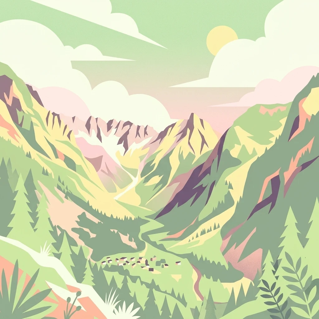
A flat, stylized digital illustration of a green mountain valley with a small cluster of houses in the foreground, pine trees, and a sunlit sky with clouds.

A small Alpine buffer reserve protecting the upper Béranger valley on the edge of the Écrins National Park.

Réserve naturelle nationale de la haute vallée du Béranger

The Réserve naturelle nationale de la haute vallée du Béranger is a small French national nature reserve located in the Isère department of the Auvergne-Rhône-Alpes region, in the southern French Alps. Covering roughly 84 hectares, it sits immediately northwest of the Écrins National Park, where it functions as a protective buffer zone between the heavily protected core of the park and the surrounding inhabited valleys. The reserve encircles the hamlet of Valsenestre and follows much of the Béranger torrent, a tributary of the Bonne river, framed by forested slopes and open alpine terrain. Although compact in size, the reserve gathers together an unusually varied set of mountain habitats, from the riverside woodland and torrent corridor of the Béranger to mixed broadleaf and coniferous forest, pastures, rock outcrops, and high altitude scrub. This habitat diversity supports a rich Alpine flora and a fauna that includes chamois, Alpine ibex, marmot, and a notably diverse bird community with species such as rock partridge, Tengmalm's owl, black woodpecker, and Eurasian eagle-owl. The reserve's significance lies less in its scale than in its role within a broader Alpine conservation system. Established in 1974 alongside several other Écrins buffer reserves and reclassified by decree in 2011, it remains a place where traditional pastoral landscapes, sensitive alpine wildlife, and the threshold of one of France's great national parks converge.

Location
France
Park type
Nature reserve
Established
1974
Area
0.8 km²
Highest point
1,400 m
Haute vallée du Béranger Protected Area Map

Review Réserve naturelle nationale de la haute vallée du Béranger records

Earthquakes near Réserve naturelle nationale de la haute vallée du Béranger

Earthquakes near Réserve naturelle nationale de la haute vallée du Béranger are linked by epicentre and reserve distance, not boundary occurrence. Compare dates, magnitudes, depths, locations, distances, and sources without attributing seismic causes to valley terrain, defining present hazard, or forecasting events.

Sort by
Magnitude
Location

This page describes catalogued earthquakes associated with the park by epicentre location and distance. It does not establish causation, assess current danger, or predict future earthquakes.

No earthquake records match the current filters

Park atlas

Beyond Réserve naturelle nationale de la haute vallée du Béranger data

More parks after Réserve naturelle nationale de la haute vallée du Béranger

Continue beyond the earthquake view for Réserve naturelle nationale de la haute vallée du Béranger and discover separate atlas destinations. The source is recorded as a French mountain reserve with forest, wetlands and minor water presence; those attributes do not extend to the next profiles or imply comparable designation, proximity, seismic history or coverage.
Watercolor illustration showing mountains, a winding river, and pine trees in a landscape
National parkFrance
Park boundaries overlap#1 closest

East

Écrins National Park: Alpine Glaciated Terrain and Protected Landscape Details

Mapped boundaries and regional geography of a major French National Park.

Delve into Écrins National Park, a defining national park within the French Alps. This page provides a comprehensive overview of its protected landscape, focusing on its dramatic glaciated terrain, significant peaks such as the Barre des Écrins, and its position within the regional geographic context. Explore the mapped extent and understand the unique alpine environment of this protected area.

Area
925 km²
Established
1973
IUCN
II
Visitors
800K annual
A watercolor illustration of a landscape with purple and pink layered mountain peaks in the background and soft green trees in the foreground, set against a plain white background.
Nature reserveAuvergne-Rhône-Alpes
17 km away#2 closest

East

Réserve naturelle nationale de la haute vallée du Vénéon: Alpine Geography and Protected Boundaries

High-altitude mountain terrain in the French Alps

The Réserve naturelle nationale de la haute vallée du Vénéon occupies 61 hectares of striking alpine terrain near the hamlet of La Bérarde. Its landscape of steep slopes and glacial deposits functions as a key protected buffer zone, supporting diverse flora and fauna within the broader mountainous geography of the Auvergne-Rhône-Alpes region.

Area
0.61 km²
Established
1974
IUCN
IV
A watercolor painting of a river valley with soft green trees, rolling hills, and distant mountains under a light sky.
Nature reserveProvence-Alpes-Côte d'Azur
About 17 km away#3 closest

Southeast

Réserve naturelle nationale de la haute vallée de la Séveraisse: Protected Alpine Corridor

High-mountain riverine landscape and buffer zone in Hautes-Alpes

This nature reserve encompasses a 4-kilometer stretch of the upper Séveraisse valley, focusing on alluvial riverbed habitat and peripheral mountain terrain. Located in the French Alps, the reserve provides a protected transition zone characterized by its narrow, U-shaped valley floor and steep rocky inclines, offering a key geographic link to the wider Écrins ecosystem.

Area
1.55 km²
Established
1974
IUCN
IV
A pale, soft watercolor illustration showing a horizontal landscape of a pond and wetlands bordered by trees, with faint mountain silhouettes in the distance.
Nature reserveIsère
33 km away#4 closest

Northwest

Réserve naturelle régionale de l'étang de Haute-Jarrie, Isère Protected Wetland Landscape

Regional nature reserve and migratory bird sanctuary

Situated on the Plateau de Champagnier in Isère, this regional nature reserve offers a concentrated example of glacial pond ecology and wetland biodiversity. Covering 11 hectares, it acts as a critical stopover within the Grésivaudan valley migratory corridor. This protected site features diverse habitats, including reedbeds and wet meadows, that support hundreds of recorded bird species and a variety of dragonflies and amphibians, making it a significant area for ecological study.

Area
0.11 km²
Established
2008
IUCN
IV
Relief
Upland
A soft watercolor painting depicting a winding river through a lush green valley with distant hills in the background.
Nature reserveAuvergne-Rhône-Alpes
About 33 km away#5 closest

Northwest

Réserve naturelle régionale des Isles du Drac: Braided River Landscape and Regional Map Context

A vital riverine conservation corridor in the Auvergne-Rhône-Alpes region of France

The Réserve naturelle régionale des Isles du Drac occupies an expansive alluvial floodplain where the river transitions into a braided system. This reserve preserves dynamic gravel bars and woodland habitats that support exceptional biodiversity within the northern Alpine landscape. It offers a detailed look at how riverine corridors persist alongside significant hydroelectric and industrial infrastructure in the Grenoble area.

Area
8.048 km²
Established
2009
IUCN
IV
Relief
Lowland
A watercolor painting on a white background showing a landscape with rolling green hills, a small lake, and distant mountain ridges in shades of pink, purple, and green.
Nature reserveProvence-Alpes-Côte d'Azur
About 38 km away#6 closest

East

Réserve naturelle régionale des Partias: Alpine Geography and Protected Nature Reserve Data

High-altitude mountain terrain in the southern French Alps

Covering slopes west of Briançon, Réserve naturelle régionale des Partias protects a layered alpine environment ranging from forested basins to rocky crests. This atlas entry provides a detailed geographic overview of the protected area, focusing on its distinctive mountain lakes, diverse soil substrates, and essential role in conserving alpine ecosystems.

Area
8.018 km²
Established
2009
IUCN
IV
Relief
Mountain
Watercolor painting depicting mountains, a river, and trees under a light sky
National parkSavoie
56 km away#7 closest

Northeast

Vanoise National Park: Explore France's Original National Park in the Savoie Alps

Mapped Alpine geography, glacial terrain, and protected landscape.

Vanoise National Park is France's pioneering national park, a protected landscape of immense alpine beauty situated in the Savoie department. Renowned for its dramatic glacial terrain, over 100 peaks above 3,000 meters, and the iconic Alpine ibex, this park offers a profound geographic context. Explore its mapped boundaries and discover the unique atlas-level insights into France's mountainous protected areas and their ecological significance.

Area
534 km²
Established
1963
IUCN
II
Relief
Mountain
A watercolor painting of a soft, rolling landscape with green hills, light forest cover, and wild grasses in the foreground, rendered in a light, atmospheric style.
Nature reserveAuvergne-Rhône-Alpes
About 67 km away#8 closest

Southwest

Réserve naturelle régionale de la grotte des Sadoux: Protected Cave and Forested Hills

Regional Nature Reserve in the Drôme department of France

The Réserve naturelle régionale de la grotte des Sadoux encompasses a 30-hectare forested coteau above the Courance valley. This site is defined by its subterranean karstic gallery and surrounding woodland edge, creating a focused conservation landscape for threatened bat species within the Auvergne-Rhône-Alpes region.

Area
0.3 km²
Established
2010
IUCN
IV
Relief
Upland
MoriAtlas Explorer

Examine the Geography of the Réserve naturelle nationale de la haute vallée du Béranger

Continue exploring the intricate landscape boundaries and protected valley terrain of this French nature reserve. MoriAtlas provides a structured look at how this mountain corridor connects local pastoral history with the wilder slopes of the Écrins massif.