
Mori Atlas logo
Nature reserveRéserve naturelle régionale des gorges du Gardon

Analyzing the ecological corridor of cliff-nesting raptors and limestone valley terrain

Réserve naturelle régionale des gorges du Gardon: A Mediterranean Protected Landscape Map

The Réserve naturelle régionale des gorges du Gardon is a significant protected area in the Occitanie region of southern France. Centered on a ten kilometer stretch of the Gardon river, the reserve features a striking contrast between steep, rocky adret slopes and shaded, forested ubac terrain. This protected corridor serves as a critical nesting site for European raptor species such as the Egyptian vulture and Bonelli eagle, highlighting the value of its compact Mediterranean limestone geography.

regional nature reserveMediterranean gorgeriver corridorlimestone cliffsoak forestraptor habitat
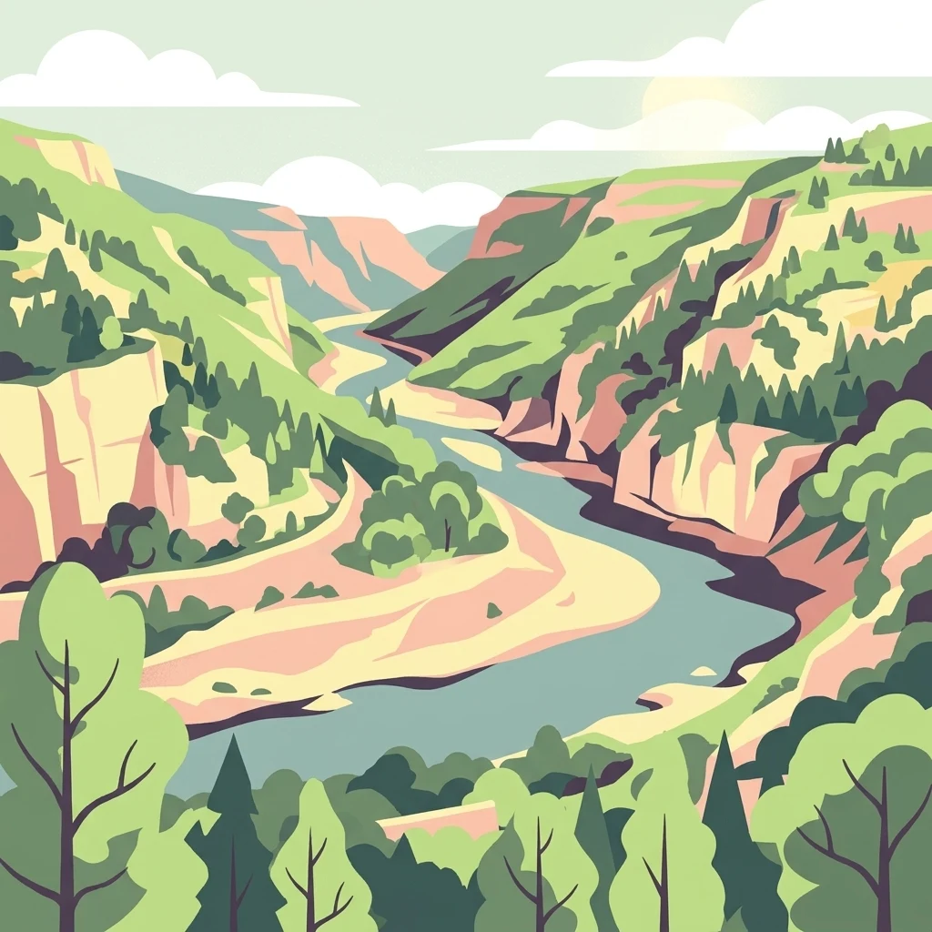
An illustration of a river winding through a deep gorge with steep cliffs, greenery, and trees under a soft sky.

Réserve naturelle régionale des gorges du Gardon

Nature reserve

Park overview

Structured park overview, official facts, and landscape profile for Gorges du Gardon Regional Nature Reserve

Gorges du Gardon Regional Nature Reserve park facts, protected area profile, and essential visitor context

Review the core facts for Gorges du Gardon Regional Nature Reserve, including designation, size, terrain, visitor scale, habitats, and operating context in one park-focused overview.

About Gorges du Gardon Regional Nature Reserve

The Gorges du Gardon Regional Nature Reserve is a compact but ecologically rich protected area in southern France, centered on a section of the Gardon river gorges northwest of Nîmes. Though modest in size at around 491 hectares, it concentrates a clear gradient of Mediterranean habitats within a single valley system, ranging from sun-exposed limestone cliffs to cooler, sheltered hardwood forest.

The reserve lies within the commune of Sanilhac-Sagriès in the Gard department, occupying roughly the northern mass of the gorge (the left bank of the Gardon) over about 10 kilometers of valley length and an average width of one kilometer. The southern, rocky slope rises abruptly as a classic adret, while the northern slope descends more gradually as a wooded ubac. A smaller right-bank sector on a northern exposure is also included, reinforcing the shaded forest character in part of the protected perimeter.

What gives the reserve its particular identity is the combination of long, undisturbed cliff faces, riverine vegetation along the Gardon, and mature Mediterranean oak forest on the shaded slope. These elements together provide nesting and foraging habitat for raptors of European conservation interest, making the gorge a notable site for birdwatchers and naturalists interested in southern French Mediterranean fauna.

Administratively, the reserve fits into a wider framework of regional and international recognition. Since 2015, the broader Gorges du Gardon area has been included as part of a UNESCO biosphere reserve, layering long-term conservation significance on top of the regional protection status. The reserve is therefore not an isolated patch but a core component of a larger Mediterranean conservation landscape.

Quick facts and research context for Gorges du Gardon Regional Nature Reserve

The Gorges du Gardon Regional Nature Reserve (RNR157) lies in the Gard department of the Occitanie region, within the commune of Sanilhac-Sagriès, roughly 10 kilometers northeast of Nîmes. It was first created as a voluntary nature reserve on 5 June 2001 and was formally classified as a regional nature reserve by the Languedoc-Roussillon regional council on 24 April 2007.

The reserve covers about 491 hectares along a roughly 10-kilometer stretch of the Gardon gorges, with an average width of about one kilometer, and includes both the left-bank (northern) slopes and a smaller right-bank (southern) sector. It is managed jointly by the Conservatoire d'espaces naturels du Languedoc-Roussillon and the commune of Sanilhac-Sagriès, and is part of the Gorges du Gardon UNESCO Biosphere Reserve designated in 2015.

Protection and recognition

Review documented protection status and official database records for this protected area.

Protection Status and International Recognition for Réserve naturelle régionale des gorges du Gardon

Examine the formal protection status and structured database records associated with Réserve naturelle régionale des gorges du Gardon. Review verified international records and protected area designations to understand administrative context.

Protection details

WDPA ID
555514320
Park context

Deeper park guide and search-rich context for Gorges du Gardon Regional Nature Reserve

Gorges du Gardon Regional Nature Reserve history, landscape, wildlife, and travel context

Explore Gorges du Gardon Regional Nature Reserve through its history, landscape character, ecosystems, wildlife, conservation priorities, cultural context, and seasonal travel timing in a structured park guide built for atlas discovery and search intent.

Why Gorges du Gardon Regional Nature Reserve stands out

The reserve is best known for its dramatic Mediterranean gorge scenery and its importance for cliff-nesting raptors. The valley combines steep rocky adret slopes with shaded ubac oak forest, creating complementary habitats within a narrow corridor. It is particularly recognized for the presence of two European conservation-interest bird species: the Egyptian vulture, which nests in the gorge, and Bonelli's eagle, which also breeds there. These species give the reserve a strong identity in Mediterranean raptor conservation.
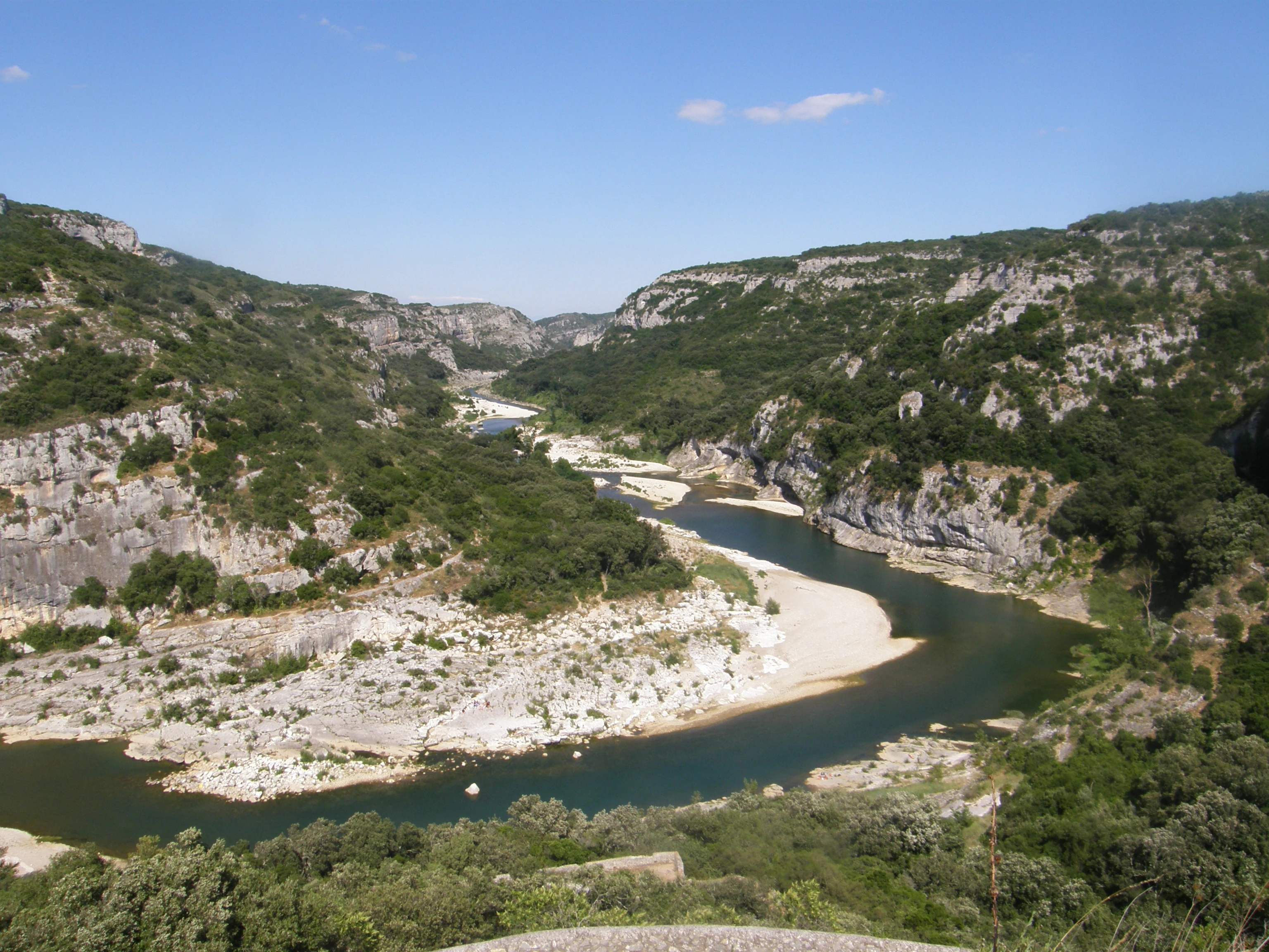
A high angle shot looking down into a deep river canyon with limestone cliffs, scrubby vegetation, and a winding river with gravel banks.
A wide scenic view of the Gardon River winding through the limestone cliffs of the Gorges du Gardon.

Gorges du Gardon Regional Nature Reserve history and protected-area timeline

The history of protection at the Gorges du Gardon begins with the establishment of a voluntary nature reserve (réserve naturelle volontaire) on 5 June 2001, an initial step that recognized the ecological value of the gorge before its formal classification.

This provisional protection was followed by formal designation when the Conseil régional du Languedoc-Roussillon adopted a deliberation on 24 April 2007 to create the regional nature reserve. Since then, the area has been managed by the Conservatoire d'espaces naturels du Languedoc-Roussillon in partnership with the commune of Sanilhac-Sagriès.

The reserve's broader significance was further confirmed in 2015 when the Gorges du Gardon area was included within a UNESCO biosphere reserve, strengthening its international profile as a Mediterranean conservation landscape.

Gorges du Gardon Regional Nature Reserve landscape and geographic character

The landscape of the Gorges du Gardon Regional Nature Reserve is defined by the deep, narrow valley carved by the Gardon river as it cuts through limestone terrain in the southern part of the Gard department. The protected area follows the gorge for about 10 kilometers, with an average corridor width of roughly one kilometer, producing a compact but visually striking valley system.

The topography is sharply differentiated: the south-facing slope rises steeply as a rocky adret, marked by cliffs, scree, and exposed Mediterranean garrigue vegetation. In contrast, the north-facing ubac descends more gently and is cloaked in denser forest, giving the valley a strong sense of light-and-shade contrast. A smaller included sector on the right bank adds a further shaded, forested face to the protected mosaic.

The river corridor itself, with its riparian vegetation, completes the landscape picture, linking the steep slopes above to the fresh, humid microclimate of the watercourse. Together these features form a textbook example of a Mediterranean gorge landscape.

Gorges du Gardon Regional Nature Reserve ecosystems, habitats, and plant life

Ecologically, the reserve reflects the classic Mediterranean contrast between adret and ubac habitats. The sunny southern slope supports dry garrigue-like vegetation, sparse woody cover, and exposed rock communities adapted to heat and drought, while the northern slope supports denser oak-dominated forest that benefits from cooler, moister conditions.

The presence of cliffs and undisturbed forest side by side creates a complementary habitat mosaic. Cliff faces provide nesting ledges for raptors, the river corridor and its fringes offer riparian biodiversity, and the forested slopes provide cover and foraging habitat for a range of Mediterranean forest species.

Although detailed ecological inventories are not provided in the available sources, the reserve's management by a Conservatoire d'espaces naturels underlines its recognized role in maintaining this characteristic Mediterranean ecological gradient.

Gorges du Gardon Regional Nature Reserve wildlife and species highlights

The wildlife profile of the reserve is closely tied to its combination of cliffs, forest, and river habitat. The most distinctive faunal element is its raptor community, which includes species of European conservation interest that depend on the gorge's quiet, well-structured environment.

Two species stand out: the Egyptian vulture, which nests in the reserve, and Bonelli's eagle, which also breeds there. Both are considered birds of conservation concern at the European level, and their nesting presence gives the reserve an importance that extends well beyond its modest size.

Beyond these raptors, the mosaic of cliffs, oak forest, and riparian habitat typical of Mediterranean gorges supports a broader but less specifically documented fauna, including typical Mediterranean forest birds, reptiles, and invertebrates associated with garrigue and riparian environments.

Gorges du Gardon Regional Nature Reserve conservation status and protection priorities

From a conservation perspective, the reserve serves as a protected corridor that anchors a key stretch of the Gardon gorges within a formal regional framework. Its IUCN Category IV designation reflects its role as a habitat and species management area, with active oversight by the Conservatoire d'espaces naturels du Languedoc-Roussillon and the commune of Sanilhac-Sagriès.

The reserve's importance is reinforced by its integration into the broader Gorges du Gardon biosphere reserve designated in 2015, embedding it within a transnational Mediterranean conservation strategy. This linkage allows the site to contribute not only to local habitat and raptor protection but also to wider biodiversity goals for Mediterranean river-and-gorge ecosystems.

Top sights and standout views in Gorges du Gardon Regional Nature Reserve

A short stretch of the Gardon gorges that concentrates many of the defining features of southern French Mediterranean valleys in just a few square kilometers. Steep cliffs, shaded oak forest, and the river corridor together give the reserve both scenic and ecological density.

The site stands out for its nesting populations of Egyptian vulture and Bonelli's eagle, two raptors of European conservation concern whose presence signals the quality of the habitat. Combined with biosphere-reserve status since 2015, this makes the reserve a small but high-value node in the regional conservation network.

Best time to visit Gorges du Gardon Regional Nature Reserve

The reserve sits in a Mediterranean climate where spring and early autumn tend to offer the most balanced conditions for exploring a gorge environment: milder temperatures, active vegetation, and strong raptor presence associated with the breeding season for Bonelli's eagle and Egyptian vulture. Summer brings intense heat that makes the exposed rocky slopes more demanding, while winter is quieter ecologically but milder than in inland French regions.
Monthly climate preview

Long-term representative point measurements tracking monthly temperature and precipitation patterns

Climate Normals and Annual Temperature Range for Réserve naturelle régionale des gorges du Gardon

Historical data records monthly average temperatures spanning from 4.49 °C to 24.79 °C alongside baseline precipitation rates across the protected terrain. Examining the complete twelve-month record clarifies long-term meteorological trends and seasonal shifts within the regional landscape.
Annual mean14 °C
4 °C25 °C
Jan
Feb
Mar
Apr12°
May17°
Jun21°
Jul25°
Aug24°
Sep19°
Oct14°
Nov
Dec
Warmest month
July

24.8 °C

Coolest month
January

4.5 °C

Wettest month
November

3.4 mm/day

Driest month
July

1 mm/day

Park location guide

Geography guide, regional context, and park location map for Gorges du Gardon Regional Nature Reserve

Gorges du Gardon Regional Nature Reserve park geography, regions, and map view in France

Understand where Gorges du Gardon Regional Nature Reserve sits in France through a broader geographic reading of the surrounding landscape, nearby location context, and its mapped position within the national park landscape.

How Gorges du Gardon Regional Nature Reserve fits into France

France is a unitary semi-presidential republic and one of the world's largest economies. It borders Belgium, Luxembourg, Germany, Switzerland, Italy, Monaco, Andorra, and Spain, with a maritime border to the United Kingdom. The country is known for its cultural influence, art, cuisine, and political history spanning centuries.

Wider geography shaping Gorges du Gardon Regional Nature Reserve in France

France is located in Western Europe. Metropolitan France extends from the Rhine to the Atlantic Ocean and from the Mediterranean Sea to the English Channel and North Sea. The country borders Belgium, Luxembourg, Germany, Switzerland, Italy, Monaco, Andorra, Spain, and has a maritime border with the United Kingdom.

Map view of Gorges du Gardon Regional Nature Reserve

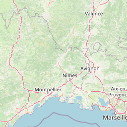
Use this park location map to pinpoint Gorges du Gardon Regional Nature Reserve in France, understand its exact geographic position, and read its mapped placement within the surrounding landscape more clearly.

Pigeon | © OpenStreetMap contributors

Location context for Gorges du Gardon Regional Nature Reserve

Occitanie

Explore protected limestone cliffs, river corridors, and Mediterranean habitats in high detail.

Visualizing Réserve naturelle régionale des gorges du Gardon Photos and Scenery

Protected area photography reveals the dramatic limestone terrain and contrasting slopes of Réserve naturelle régionale des gorges du Gardon. Visual archives capture deep river gorges, shaded oak forests, and vital cliff habitats for regional raptor populations.

A high angle shot looking down into a deep river canyon with limestone cliffs, scrubby vegetation, and a winding river with gravel banks.

Park atlas

Compare adjacent river corridors, limestone gorges, and regional Mediterranean reserves

Parks Near Réserve Naturelle Régionale Des Gorges Du Gardon and Surrounding Protected Landscapes

Continue browsing other protected areas near Réserve naturelle régionale des gorges du Gardon to examine related limestone terrain and river valley ecosystems. Regional park comparison reveals wider conservation patterns across southern French Mediterranean landscapes.
A horizontal watercolor illustration showing a marshy, grassy landscape with soft green and muted pink tones against a white background.
Regional parkProvence-Alpes-Côte d'Azur
About 27 km away#1 closest

South

Parc naturel régional de Camargue: Mapping the Rhône Delta Protected Wetland Landscape

Regional park geography and wetland conservation zones

Parc naturel régional de Camargue is a sprawling protected landscape at the confluence of the Rhône and the Mediterranean. This regional park contains significant saline lagoons, coastal dunes, and fertile marshes that serve as a crucial site for waterbird migration. Understand the interplay between traditional salt-making, pastoral ranching, and the strictly protected nature reserves that shape this delta territory.

Area
856.9 km²
Established
1970
IUCN
V
Relief
Lowland
Watercolor painting of a marshy wetland scene with grassy foreground, scattered trees, and distant hills.
Nature reserveGard
About 36 km away#2 closest

South

Réserve naturelle régionale du Scamandre: Mapped Boundaries and Wetland Geography in Gard

Protected marshlands and salt steppe in southern France.

Deep dive into the ecological layout of Réserve naturelle régionale du Scamandre. Situated in the Gard department, this protected site preserves a mosaic of prairie, sansouïre, and marshland, creating a high-density wetland corridor essential for regional biodiversity and landscape analysis.

Area
1.467 km²
Established
2006
IUCN
IV
Relief
Lowland
A horizontal watercolor painting depicting a soft-focus landscape of grassy wetlands in the foreground with gentle, rolling hills in the background.
Nature reserveProvence-Alpes-Côte d'Azur
About 40 km away#3 closest

Southeast

Réserve naturelle régionale de l'Ilon: Protected Wetland Atlas and Geographic Context

Mapping Mediterranean marshes in the Alpilles foothills.

Covering 176 hectares of diverse wetland habitat, Réserve naturelle régionale de l'Ilon preserves critical marshlands and floodable meadows. This site demonstrates the interplay between lowland water systems and the rocky Alpilles range, providing a essential refuge for diverse dragonfly and bird species within the heart of Provence.

Area
1.76 km²
Established
2012
IUCN
IV
A horizontal watercolor painting depicting a soft, washed-out landscape of wetlands with green vegetation, calm water, and gentle hills in the distance.
Nature reserveOccitanie
About 40 km away#4 closest

South

Réserve naturelle régionale de Mahistre et Musette: Regional Nature Reserve and Wetland Atlas

Petite Camargue geography and protected marshland mosaic in Occitanie

Located in the Gard department of southern France, the Réserve naturelle régionale de Mahistre et Musette represents a successful case of wetland restoration. This protected area features a distinct landscape of reedbeds, saline flats, and ponds, providing critical habitat for numerous wetland species. Access detailed geographic context on how these restored marshes link to the broader Petit Camargue environmental network.

Area
2.616 km²
Established
1999
IUCN
IV
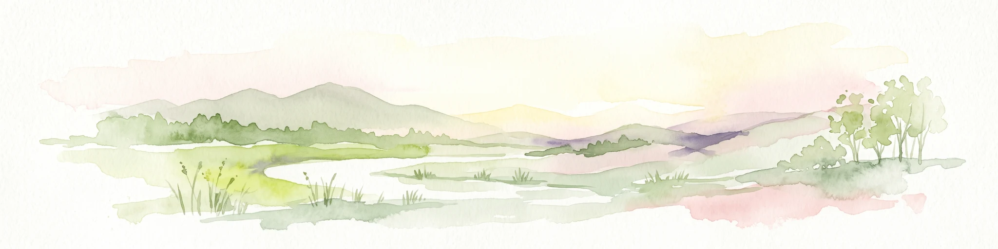
A soft watercolor illustration depicting layered rolling hills, distant mountain silhouettes, and clusters of trees in a pale color palette.
Regional parkProvence-Alpes-Côte d'Azur
About 46 km away#5 closest

East

Parc naturel régional du Luberon: Regional Park Boundaries and Protected Landscape Atlas

Geology, mountain ridges, and Mediterranean ecosystems of Provence

Parc naturel régional du Luberon serves as a vital protected corridor in southeastern France. The park features three parallel limestone massifs, dramatic ochre formations, and fossil-rich plateaus. Its geography offers a case study in integrating sustainable land use with rich biodiversity across the Vaucluse and Alpes-de-Haute-Provence departments.

Area
1,747.26 km²
Established
1977
IUCN
V
Visitors
350K annual
A watercolor illustration of a serene landscape with rolling hills, a meandering river, and soft light.
Regional parkAuvergne-Rhône-Alpes
About 50 km away#6 closest

North

Parc naturel régional des Monts d'Ardèche: Protected Landscapes and Geographic Map Context

Volcanic highland terrain within the Auvergne-Rhône-Alpes region

Covering over 248,000 hectares, Parc naturel régional des Monts d'Ardèche represents a significant protected area in the southern Massif Central. The region is marked by its distinctive volcanic sucs, including Mont Gerbier-de-Jonc, and a complex network of Cévenol river valleys. It remains a focal point for understanding the transition between high volcanic plateaus and traditional terraced agricultural slopes in southeastern France.

Area
2,280 km²
Established
2001
IUCN
V
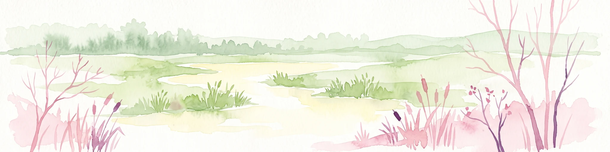
A watercolor illustration of a tranquil marshland scene with soft green and muted pink tones, depicting reeds, sparse trees, and calm water.
Nature reserveFrance
About 52 km away#7 closest

Southeast

Réserve naturelle régionale de la Tour du Valat: Mediterranean Wetland and Research Landscape Map

A critical protected area and ecological research estate in the Rhône delta of France.

Located in the Bouches-du-Rhône department, the Réserve naturelle régionale de la Tour du Valat serves as a reference point for Mediterranean wetland science. The reserve features an intricate landscape of marshes, salt meadows, and woodland patches that support diverse birdlife and habitats. This protected area demonstrates the integration of active pastoral land use with habitat management on a significant deltaic estate near Arles.

Area
18.44 km²
Established
2008
Relief
Lowland
Climate
Mediterranean
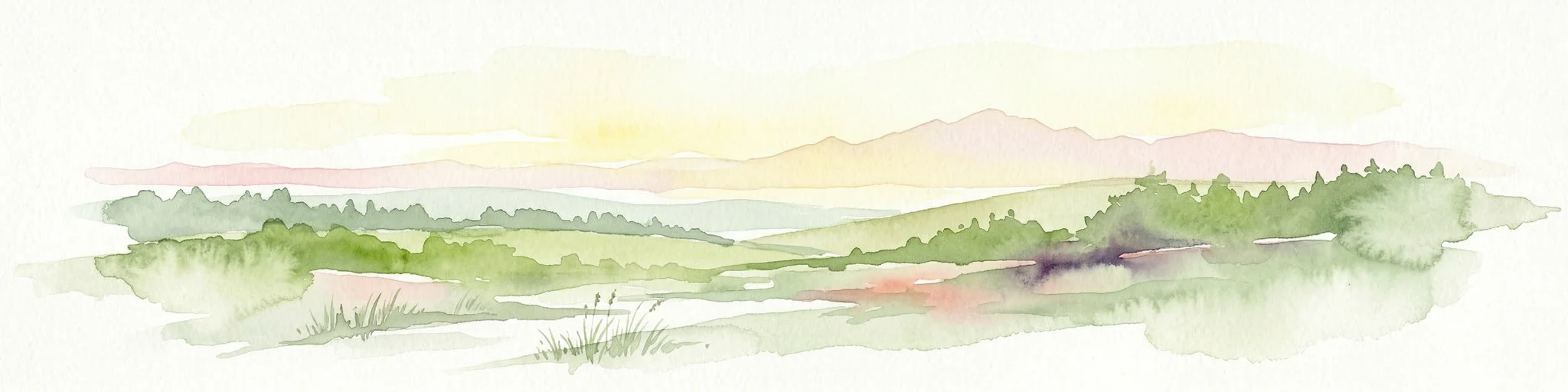
Watercolor illustration of green fields, a river, and mountains under a soft pink and yellow sky
National parkOccitanie
About 55 km away#8 closest

Northwest

Cévennes National Park: Explore its Mapped Terrain and Protected Landscape in Occitanie

Discover the unique geographic context and park boundaries.

Cévennes National Park, situated in Occitanie, France, offers a rich exploration of mid-mountain Mediterranean geography. As a protected landscape, its mapped terrain features dramatic limestone plateaus, deep river gorges, and distinct granite massifs. This entry provides essential geographic context for Cévennes National Park, highlighting its unique natural features and its significance as a protected area within the broader regional atlas.

Area
937 km²
Established
1970
IUCN
V
Visitors
800K annual

Common questions about visiting, size, designation, and location context for Gorges du Gardon Regional Nature Reserve

Gorges du Gardon Regional Nature Reserve FAQs for park facts, access, geography, and protected area context

Find quick answers about Gorges du Gardon Regional Nature Reserve, including protected-area facts, park geography, trail and visitor context, and how the park fits into its surrounding country and regional landscape.
MoriAtlas Explorer

Continue Your Protected Areas Search Across the Global Atlas

Deepen your exploration by continuing the structured search for national parks and protected areas worldwide. Utilize the comprehensive filtering capabilities to compare different conservation landscapes and refine your understanding of global park geography. Discover more about the distribution and characteristics of protected natural areas.

Global natural geography