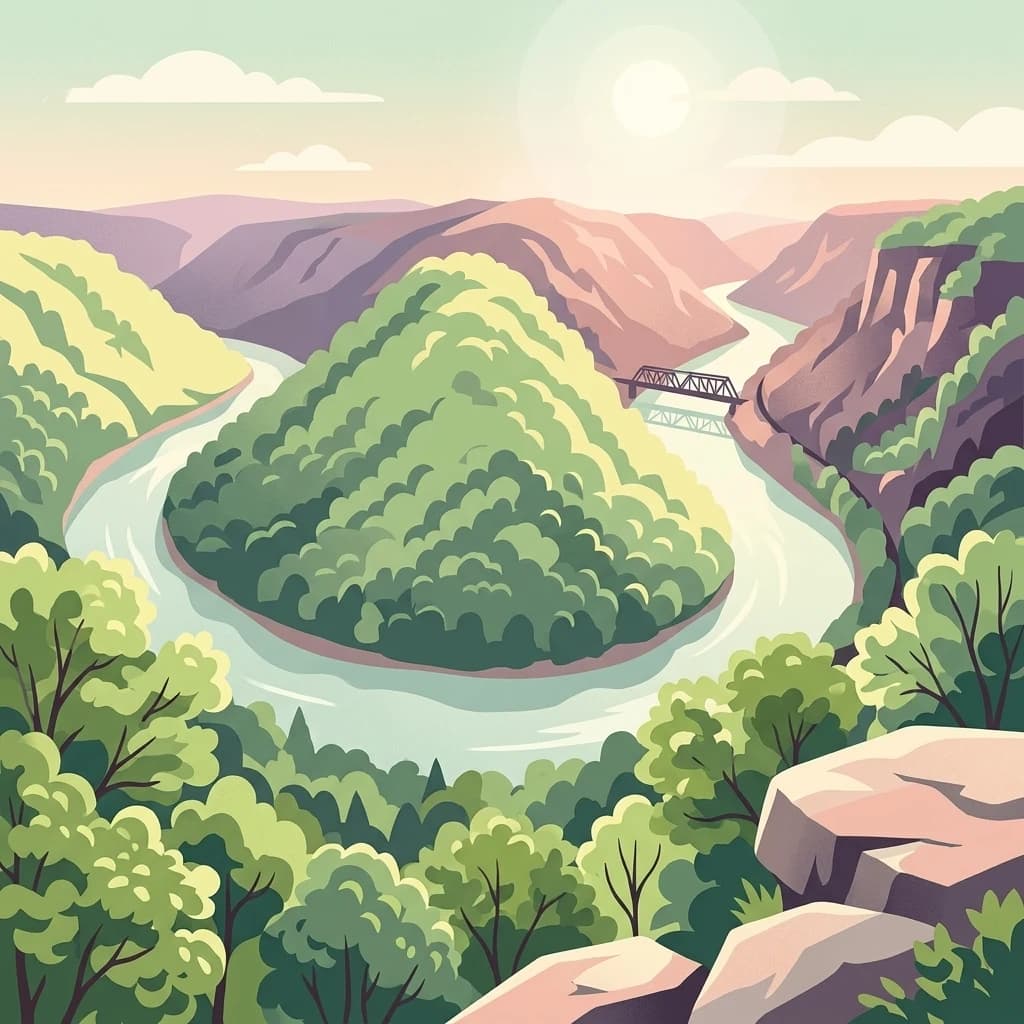
A high-elevation plateau wilderness atop the Allegheny Front in eastern West Virginia.
Roaring Plains West Wilderness
Roaring Plains West Wilderness is a U.S. Wilderness Area in the Allegheny Mountains of eastern West Virginia, administered as part of the Monongahela National Forest. The wilderness preserves a striking high-elevation plateau landscape of rocky, tree-studded plains rimmed by cliffs and outcrops, paired with some of the highest sphagnum bogs found anywhere in the state. Together with neighboring Flatrock Plains, the area forms the highest plateau in the eastern United States, with roughly 5.5 square miles sitting at or above the 4,500-foot contour.
Designated in 2009 under the Wild Monongahela Act, the wilderness protects a transitional ecological zone along the Allegheny Front, where the Eastern Continental Divide separates Atlantic-bound and Gulf-bound watersheds. Red spruce forests, mixed hardwoods, and dense thickets of mountain laurel and rhododendron give the terrain a distinctly northern Appalachian character far above the surrounding valley lowlands. The plateau's remote, weather-beaten environment also shelters rare high-elevation species, including the federally threatened Cheat Mountain salamander.
Beyond its ecological value, Roaring Plains West stands out for the sheer physical drama of its exposed plateau scenery and its heavy snowfall, which transforms the wilderness into a winter landscape of cross-country skiing, snowshoeing, and frequent blizzard conditions above four thousand feet. Together with adjacent Dolly Sods Wilderness and Canaan Valley, it anchors one of the most distinctive high-country recreation and conservation corridors in the Appalachians.