Mori Atlas logo
National parkRodna Mountains National Park

Explore the geographic context and distinct protected boundaries of this Romanian national park.

Rodna Mountains National Park: A Mapped Protected Landscape Within Romania's Geography

Rodna Mountains National Park stands as a significant national park within the broader geographic landscape of Romania. This page offers a detailed look at its protected area identity, focusing on its mapped boundaries and regional context. Discover how this protected land fits into the natural terrain, providing an atlas-driven perspective for understanding its unique landscape.

Eastern CarpathiansMountain protected areaRomaniaCarpathian landscape

Rodna Mountains National Park

National park

Park overview

Structured park overview, official facts, and landscape profile for Rodna Mountains National Park

Rodna Mountains National Park park facts, protected area profile, and essential visitor context
Review the core facts for Rodna Mountains National Park, including designation, size, terrain, visitor scale, habitats, and operating context in one park-focused overview.
Park location guide

Geography guide, regional context, and park location map for Rodna Mountains National Park

Rodna Mountains National Park park geography, regions, and map view in Romania
Understand where Rodna Mountains National Park sits in Romania through a broader geographic reading of the surrounding landscape, nearby location context, and its mapped position within the national park landscape.

How Rodna Mountains National Park fits into Romania

Romania is a unitary semi-presidential republic located in Southeast and Central Europe. It borders Ukraine, Hungary, Serbia, Bulgaria, Moldova, and the Black Sea. The country has a population of approximately 19 million and covers an area of 238,397 km². Bucharest is the capital and largest city. Romania joined the European Union in 2007.

Wider geography shaping Rodna Mountains National Park in Romania

Romania lies on the lower course of the Danube River, north of the Balkan Peninsula, and on the northwestern shore of the Black Sea. The terrain is varied, featuring the Carpathian Mountains in the center, the Transylvanian Plateau, the Moldavian Plateau, and plains along the Danube and in the south. The country has a diverse landscape that includes forests, meadows, and wetland areas.

Map view of Rodna Mountains National Park

Use this park location map to pinpoint Rodna Mountains National Park in Romania, understand its exact geographic position, and read its mapped placement within the surrounding landscape more clearly.

Pigeon | © OpenStreetMap contributors
Park atlas

Compare nearby protected areas across the Eastern Carpathian range, expanding your view beyond Rodna Mountains National Park's geography.

Discover Other National Parks and Protected Areas Near Rodna Mountains National Park
Explore additional national parks and protected areas situated within or adjacent to the Eastern Carpathian mountain range, expanding your geographic understanding beyond Rodna Mountains National Park. Compare diverse protected landscapes in Romania, tracing their distinct features and conservation values within the broader regional atlas.
Watercolor illustration of a mountainous landscape with rolling hills, a river, and green vegetation
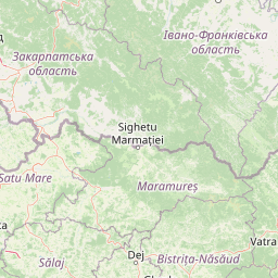
Protected landscapeMaramureș County

Maramureș Mountains Natural Park: Protected Landscape and Carpathian Geography

Explore the mapped boundaries and dramatic terrain of Romania's largest nature park.

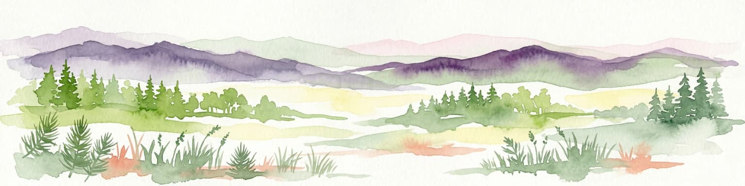
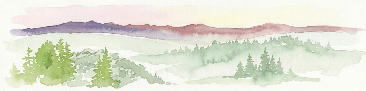
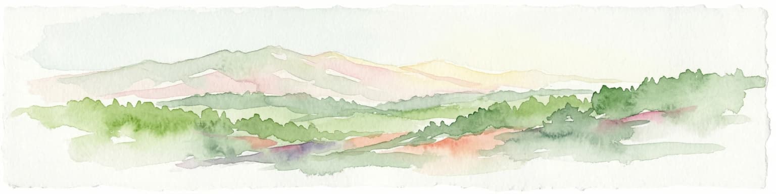
Delve into the Maramureș Mountains Natural Park, a protected landscape covering extensive tracts of the northern Carpathian Mountains. This page provides detailed geographic context, showcasing the park's mapped boundaries, diverse alpine terrain, and its role within the broader regional geography of Maramureș County. Understand the natural features and protected area significance of this expansive Carpathian wilderness for structured atlas exploration.

Area
1,488.5 km²
Established
2004
IUCN
V
Relief
Mountain
National park

Călimani National Park: Romania's Premier National Park Protected Landscape

Explore mapped boundaries and regional geographic context.

Uncover the geographic identity of Călimani National Park, a designated national park in Romania. This resource offers detailed insights into its protected landscape, mapped terrain, and surrounding natural context. Navigate through its specific park boundaries and understand how it fits into the wider regional geography, providing a clear atlas-style overview for dedicated discovery.

Area
240.41 km²
Established
2000
IUCN
II
Relief
Mountain
Watercolor illustration of a mountainous landscape with forests, a lake, and distant peaks.
National parkChernivtsi Oblast

Cheremosh National Nature Park: Protected Landscape and Geographic Context in UA

Explore mapped boundaries within Chernivtsi Oblast

Cheremosh National Nature Park represents a vital protected area within Ukraine's Chernivtsi Oblast. This entry offers a structured exploration of the park's geographic identity, focusing on its mapped boundaries and its significance as part of the regional natural landscape. Delve into the terrain and understand how Cheremosh National Nature Park contributes to the mapped geography of western Ukraine, providing a foundation for atlas-based discovery.

Area
71 km²
Established
2009
IUCN
II
Relief
Mountain
Protected landscapeMureș County

Defileul Mureșului Superior Natural Park: Protected Landscape Mapping and Geography

Explore Mureș County's premier protected landscape.

Access detailed mapping and geographic context for Defileul Mureșului Superior Natural Park. As a protected landscape situated in Romania's Mureș County, this entity offers crucial insights into regional natural terrain and protected area distribution. Explore its mapped boundaries and understand its significance within the broader atlas of protected lands.

Area
91.56 km²
Established
2007
IUCN
V
Relief
Mixed relief
National parkVerkhovyna Raion

Verkhovyna National Nature Park: Explore Protected Landscape Geography in Verkhovyna Raion

Discover Ukraine's Verkhovyna National Nature Park mapped terrain.

Verkhovyna National Nature Park represents a vital protected area within the Verkhovyna Raion of Ukraine. This detailed atlas entry focuses on the park's geographic significance, providing insights into its mapped boundaries and its role within the regional landscape context of the Carpathian Mountains. It serves as a focused point for understanding the park's protected status and its place in a structured geographic discovery framework.

Area
120 km²
Established
2010
IUCN
II
Relief
Mountain
National parkChernivtsi Oblast

Vyzhnytsia National Nature Park: Protected National Park Landscape Exploration

Mapped boundaries and regional terrain in Chernivtsi Oblast.

Delve into the specific protected landscape of Vyzhnytsia National Nature Park, a designated national park in Ukraine's Chernivtsi Oblast. This detailed entry provides context on its geographic positioning, mapped natural features, and the surrounding regional terrain, aiding in structured atlas exploration and understanding its significance within the protected areas network.

Area
7,928.4 km²
Established
1995
IUCN
II
Relief
Mountain
National parkIvano-Frankivsk Oblast

Carpathian National Nature Park: Protected Landscape Within Ivano-Frankivsk Oblast

National Park mapped boundaries and regional geography.

Carpathian National Nature Park represents a significant protected area within Ivano-Frankivsk Oblast, Ukraine. This page offers detailed insights into its protected landscape identity, helping users understand its geographic setting and mapped boundaries. As part of the Carpathian region, the park serves as a key point for atlas-based discovery, providing context for its place within the broader geography of western Ukraine.

Area
515.7 km²
Established
1980
IUCN
II
Visitors
1M annual
National park

Cheile Bicazului-Hășmaș National Park: Protected Area Geography and Mapped Landscape Identity

Discover Romania's National Park mapped boundaries and regional context.

Cheile Bicazului-Hășmaș National Park represents a vital component of Romania's protected natural areas, offering rich geographic detail for atlas enthusiasts. This national park's mapped landscape and defined protected boundaries provide essential context for understanding regional geography and conservation efforts. Explore the specific identity of this protected terrain and its significance within the broader Romanian atlas.

Area
65.75 km²
Relief
Mountain
Scope
Mixed
Water
Minor water

Common questions about visiting, size, designation, and location context for Rodna Mountains National Park

Rodna Mountains National Park FAQs for park facts, access, geography, and protected area context
Find quick answers about Rodna Mountains National Park, including protected-area facts, park geography, trail and visitor context, and how the park fits into its surrounding country and regional landscape.
MoriAtlas Explorer

Continue Your Protected Areas Search Across the Global Atlas

Deepen your exploration by continuing the structured search for national parks and protected areas worldwide. Utilize the comprehensive filtering capabilities to compare different conservation landscapes and refine your understanding of global park geography. Discover more about the distribution and characteristics of protected natural areas.

Global natural geography