Mori Atlas logo
Park earthquake history

Explore historical records linked by epicentre distance to the Sierra La Laguna mountain massif

Sierra La Laguna Earthquake History: A Catalogue of Recorded Seismic Events and Data

This collection presents a catalogue of recorded seismic events associated with the geography of the Sierra La Laguna biosphere reserve in Baja California Sur. Users can browse historical data points, including event dates, magnitudes, and focal depths, for tremors calculated within proximity to this mountain range. The information provided reflects a structured archive derived from seismic monitoring records, intended for geographic and historical context of the regional landscape.

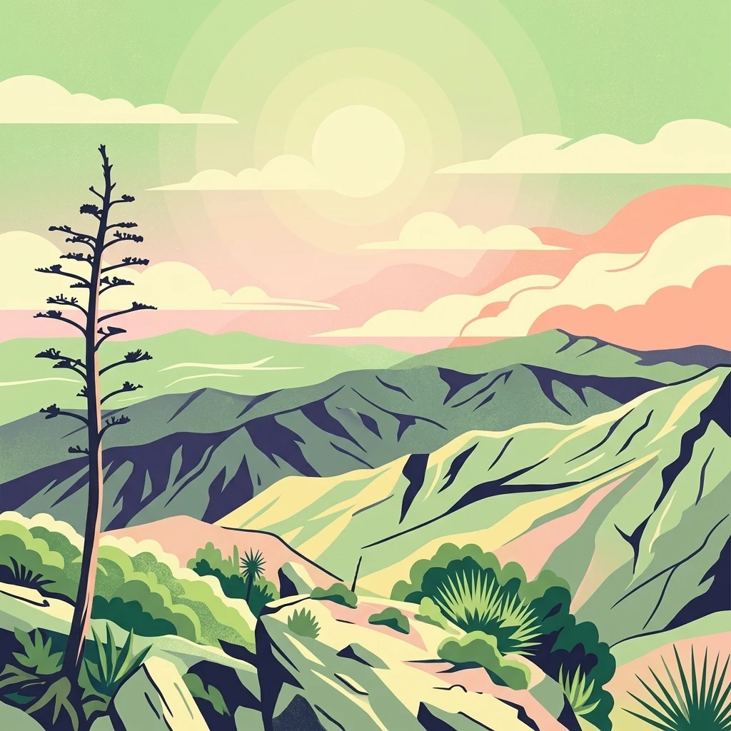
A stylized digital illustration of the rugged Sierra La Laguna mountains under a pastel sky with a tall desert plant in the foreground.

Baja California Sur's highland biosphere reserve and the southern peninsula's only pine-oak forest.

Sierra La Laguna

Sierra La Laguna is a mountain range and biosphere reserve in the southern part of the Baja California Peninsula, situated in the Mexican state of Baja California Sur. The range spans the municipalities of La Paz and Los Cabos and forms the highest point in the state, with summits reaching around 2,080 meters above sea level. Ecologically, the reserve is exceptional because it contains the only pine-oak forest and the only tropical forest in the state of Baja California Sur, along with palm groves and cactus scrub. Its rugged granite terrain, cool highland microclimate, and high concentration of endemic species give the range a distinct ecological identity that contrasts with the surrounding arid peninsula. Beyond its biodiversity, Sierra La Laguna serves as the principal source of groundwater recharge for the region, supplying a large share of the state's population. The biosphere reserve was decreed in 1994 and includes a core zone and buffer zones designed to protect both the ecosystems and their hydrological function. The area is also known for archaeological remains and remains a focus of conservation attention because large tourism developments on the southern coast pose ongoing pressure on its buffer zones.

Location
Mexico
Park type
Biosphere reserve
Established
1994
Area
1,124.4 km²
Highest point
2,080 m
Sierra La Laguna Biosphere Reserve Map

Explore Sierra La Laguna observations by date and distance

Examine documented earthquakes in the wider Sierra La Laguna area

Earthquakes around Sierra La Laguna are related to the protected area by mapped epicentre and measured distance, not evidence of events within its limits. Examine dates, magnitudes, depths, named locations, distance data, and references without interpreting mountain or reserve characteristics as seismic causes, declaring present risk, or anticipating later earthquakes.

Sort by
Magnitude
Location

This page describes catalogued earthquakes associated with the park by epicentre location and distance. It does not establish causation, assess current danger, or predict future earthquakes.

No earthquake records match the current filters

Park atlas

Move past Sierra La Laguna earthquake records to other parks

Explore more protected destinations beyond Sierra La Laguna

Once the Sierra La Laguna earthquake records have been explored, continue to an independent set of protected destinations. The links do not denote shared mountain terrain, reserve status, ecology, geology, seismic history, geographic closeness, hazard conditions, risk, or comparable supporting records.
National parkBaja California Sur
About 28 km away#1 closest

East

Cabo Pulmo National Park: National Park Atlas and Protected Landscape Discovery

Explore its mapped geographic boundaries and regional context.

Cabo Pulmo National Park represents a vital protected natural landscape offering unique atlas exploration opportunities. Understand its specific geographic placement within Baja California Sur and explore its mapped boundaries as a national park. This destination provides a focused look at protected natural areas and their significance in regional geography.

Area
71.11 km²
Established
1995
IUCN
II
Relief
Lowland
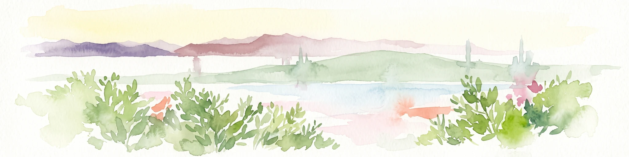
A watercolor painting showing a coastal scene with low-lying green hills in the midground, a strip of water in the foreground, and distant purple-hued mountains under a pale yellow sky.
Protected areaBaja California Sur
About 33 km away#2 closest

Northwest

El Mogote Protected Area: Coastal Geography and Wetland Mapping in Baja California Sur

Sand barriers, mangrove fringes, and arid dune systems.

El Mogote is a defining landform of the Bay of La Paz, showcasing the intersection of extreme arid environments and sheltered estuarine habitats. This protected area provides a distinct study of coastal morphology, where wind-driven dunes meet the quiet, vital channels of a Ramsar-recognized wetland system that sustains regional marine health.

Established
2008
Relief
Lowland
Climate
Arid
Access
Moderate access
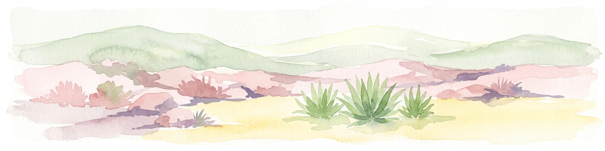
A horizontal watercolor painting showing a desert landscape with rolling hills in the background and agave plants in the foreground.
Wildlife reserveBaja California Sur
About 48 km away#3 closest

North

Área de protección de flora y fauna Balandra: Wildlife Reserve and Gulf Coast Geography

Protected mangrove lagoon landscapes in Baja California Sur

Discover the ecological significance of Área de protección de flora y fauna Balandra, a protected coastal area near La Paz. This site features a unique convergence of mangrove forests, shallow sandy bays, and arid desert coastal scrub that defines its status as a significant wildlife reserve in northwestern Mexico.

Area
25.125 km²
Established
2012
Relief
Lowland
Climate
Arid
National parkBaja California Sur
About 236 km away#4 closest

Northwest

Bahía de Loreto National Park: National Park Protected Landscape and Geographic Identity

Explore its mapped boundaries and regional context.

Bahía de Loreto National Park offers a distinct focus on its protected natural landscape and geographic features within Baja California Sur. This destination provides detailed mapping and regional context, enabling a focused exploration of its boundaries and natural environment. It is ideal for users seeking to understand the specific protected area identity and its geographical placement as part of a broader atlas of conservation landscapes.

Area
2,065.81 km²
Established
1996
IUCN
II
Relief
Mixed relief
Regional parkSinaloa
About 282 km away#5 closest

East

Ceuta Regional Park: Coastal Geography and Protected Nesting Habitats in Sinaloa

Coastal protection and agricultural valley landscape analysis.

Ceuta Regional Park stands as a key protected area on the Sinaloa coast of Mexico, noted for its long-standing sea turtle conservation initiatives and importance to migratory shorebirds. The park geography spans low-lying coastal plains and beach environments, framed by the agricultural heart of the Elota municipality. This entry provides a structural overview of the terrain, boundaries, and ecological context defining this coastal reserve.

Area
15 km²
Established
2002
Relief
Lowland
Access
Access unknown
Wildlife reserveSinaloa
About 308 km away#6 closest

East

Meseta de Cacaxtla Flora and Fauna Protection Area: Sinaloa Protected Landscape Overview

Mapping dry forests and Pacific coastal ecosystems

Meseta de Cacaxtla Flora and Fauna Protection Area is a significant wildlife reserve in Sinaloa, characterized by its transition from an elevated inland plateau to a complex coastal fringe of mangroves and lagoons. Spanning 508 square kilometers, this protected area preserves an essential blend of arid tropical ecosystems and marine habitats along the Mexican Pacific coast, providing a clear geographic view of regional conservation efforts.

Area
508.62 km²
Established
2000
IUCN
VI
Relief
Lowland
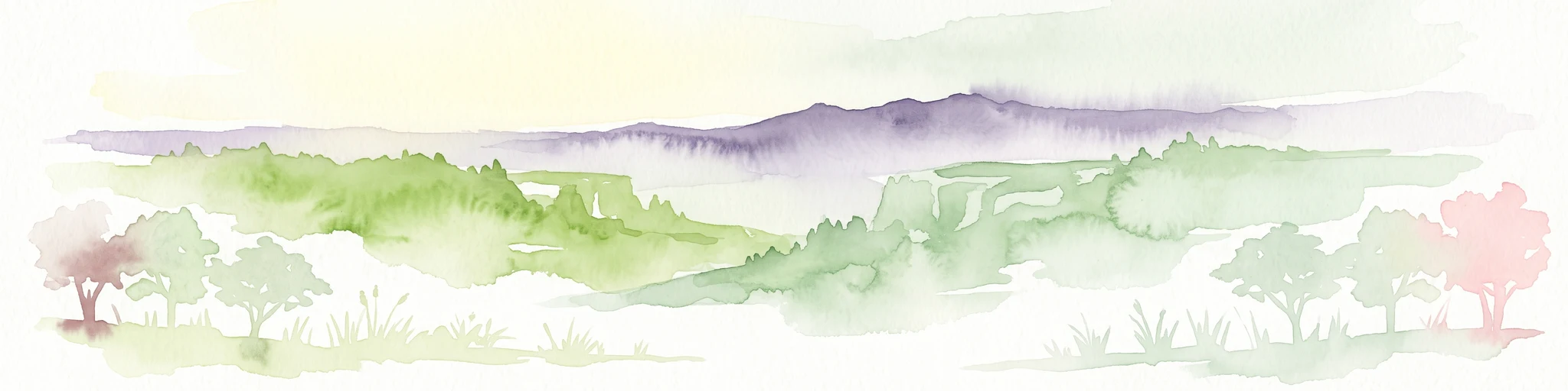
A soft watercolor illustration of rolling green hills, distant purple mountains, and stylized trees.
Protected areaChihuahua
About 368 km away#7 closest

Northeast

Cerro Mohinora: Protected Volcanic Summit and Alpine Geography in Chihuahua

An analysis of volcanic terrain and high-elevation protected ecosystems.

Cerro Mohinora dominates the skyline as a prominent volcanic landmark within the Sierra Madre Occidental. This record details the protected area's geographic reach, examining its complex igneous history and the dramatic vertical transition from pine-covered slopes to its snowy summit, offering a clear map-oriented view of this significant Chihuahua natural landmark.

Established
2012
Relief
Mountain
Water
Minor water
Season
Seasonal
Protected areaSonora
About 386 km away#8 closest

North

Área de protección de flora y fauna Sierra de Álamos-Río Cuchujaqui: Geography and Park Boundaries

Detailed atlas view of the Sonora biodiversity enclave and canyon systems.

Spanning over 92,000 hectares in Sonora, this protected area is defined by its dramatic transition from coastal plains to the Sierra Madre range. The geography centers on the deep, moisture-trapping barrancas of the Cuchujaqui River, which sustain a rare mixture of Neotropical and temperate species. Examine the structural complexity of these forested slopes and river-carved valleys that function as a essential habitat for large predators and diverse flora alike.

Area
928.9 km²
Established
1996
MoriAtlas Explorer

Explore the Mountain Geography and Protected Landscape of Sierra La Laguna

Gain insight into the rugged topography and vital hydrological functions of this central Baja California Sur mountain reserve. Use the MoriAtlas data to trace the boundaries, forest mosaics, and unique highland terrain that define this protected area within the southern peninsula.