
Capes
Park geography
A comprehensive analysis of park boundaries, terrain elevations, and coastal environments.
South Bruny National Park Geographic Profile and Mapped Regional Landscape Data
Examine the technical geography and spatial parameters of South Bruny National Park located in Tasmania, Australia. This profile details the park's 50.59 square kilometer area, elevation range reaching 504 meters, and its diverse mix of coastal capes, islands, and temperate forest habitats.
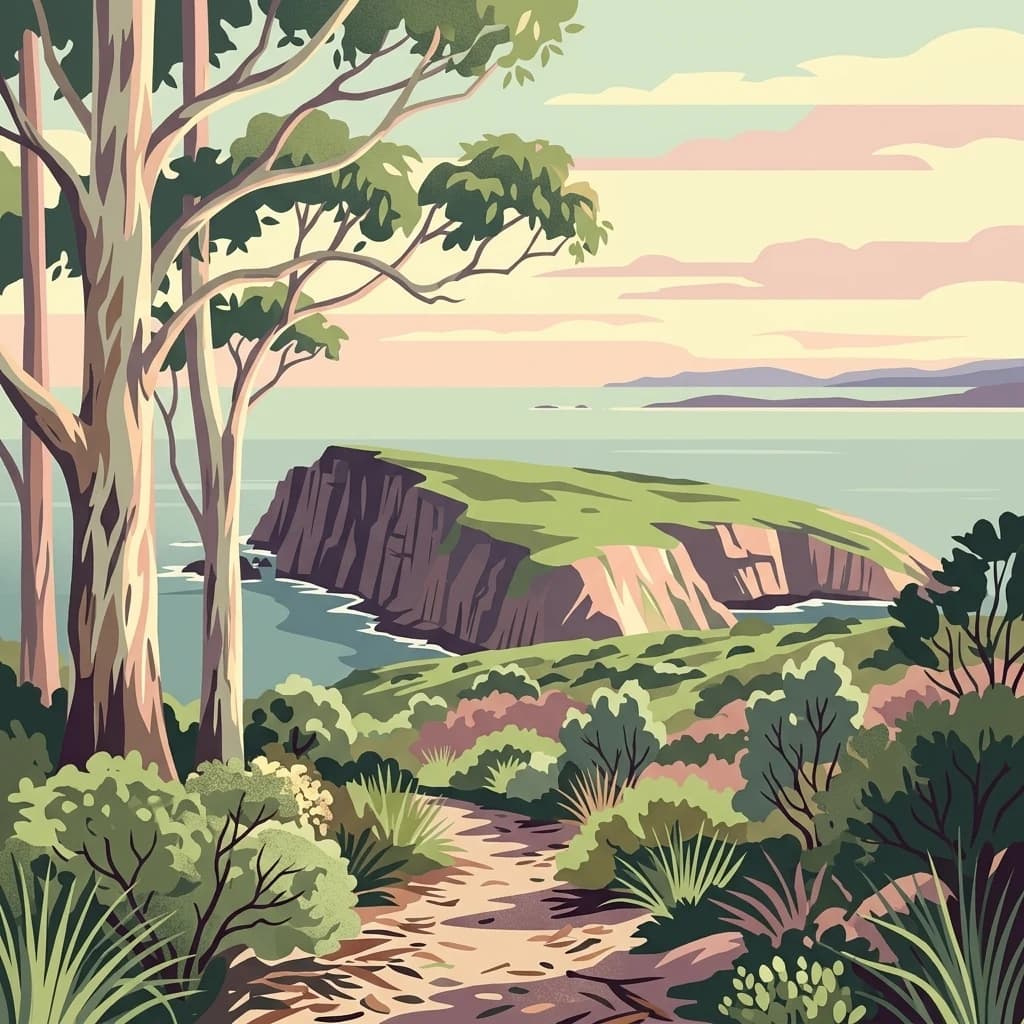
Coastal wilderness and endangered bird habitat on Tasmania's Bruny Island
South Bruny National Park
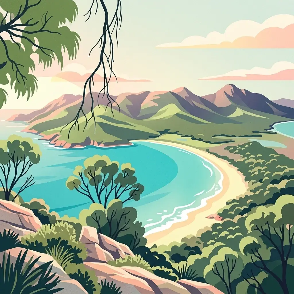
South Bruny National Park is a protected coastal landscape on Bruny Island, a large island off the southeast coast of Tasmania, Australia. The park was established in 1997 and covers approximately 50 square kilometers of diverse terrain encompassing dramatic dolerite cliffs, extensive beaches, coastal heathlands, and pockets of wet eucalypt forest and temperate rainforest. The park embraces the Labillardiere Peninsula, named in honor of the French botanist Jacques Labillardiere who accompanied the d'Entrecasteaux expedition, and contains the historic Cape Bruny Lighthouse as one of its signature landmarks. South Bruny serves as a critical refuge for several of Australia's most endangered bird species, including the forty-spotted pardalote and the swift parrot, making it significant beyond its scenic coastal beauty. The park also protects important Aboriginal cultural sites and represents one of the few remaining strongholds for unique Tasmanian endemic species that have disappeared from much of the mainland.
- Location
- Australia
- Park type
- National park
- Established
- 1997
- Area
- 50.6 km²
- Highest point
- 504 m
Location overview
Island and marine protected area relationships in Tasmania, Australia
South Bruny National Park: Regional Geography and Coastal Setting
South Bruny National Park is located within the island state of Tasmania in Australia. Registered regional records show that the protected reserve carries official coastal, island, and marine status.
- Countries
- Australia
- Regions
- Tasmania
- Primary location
- Tasmania
- Geographic setting
- Coastal · Island · Marine
Boundary and coordinates
South Bruny’s island-park boundary frames 50.59 km²
South Bruny National Park mapped boundary and 50.59 km² area
Stored boundary geometry gives South Bruny National Park's recorded 50.59 km² protected area a defined geographic outline. The record treats this as one total, without specifying land and marine shares or providing a perimeter measurement.
- Boundary area
- 52.6 km²
- Boundary perimeter
- 190.5 km
- Northernmost point
- 43.3488° S
- Southernmost point
- 43.5352° S
- Easternmost point
- 147.3826° E
- Westernmost point
- 147.0915° E
- Geographic centre
- 43.46° S, 147.219° E
- North–south span
- 20.7 km
- East–west span
- 23.6 km
Elevation and terrain
Mixed vertical relief spanning from sea level to 504 meters
South Bruny National Park Terrain and Elevation Range
Recorded elevation data outlines a mixed terrain profile reaching a maximum point of 504 meters. Accompanying cards detail named capes, peaks, and coastal features located within the park boundary.
Elevation span
504 m
Vertical extent from the lowest to the highest recorded elevation in the park
- Minimum elevation
- 0 m
- Maximum elevation
- 504 m
- Highest point
- 504 m
Selected named natural features
Capes
Tasman Head
Viewpoints
Mabel Bay Lookout
Beaches
Lightouse Jetty Beach
Islands
Bruny Island
Islands
Bridge Rock
Environmental setting
Temperate climate zones, mixed relief, and major coastal forest cover parameters
South Bruny National Park Environmental Settings and Mapped Physical Classifications
Recorded landscape features and habitat types function as complementary ways to interpret physical settings without implying spatial uniformity. Connected classifications link directly to relevant atlas destinations for regional terrain comparison.
- Relief
- Mixed relief
- Climate
- Temperate
- Water
- Major water bodies
- Forest cover
- Mostly forested
- Seasonality
- Year-round
Landscape features
Hills · Cliffs · Forest · Woodland · Grassland · Coast · Beach · Dunes · Islands
Habitat types
Temperate broadleaf forest · Heath · Coastal habitat · Grassland · Marine habitat
Park atlas
Compare mapped national parks and protected landscapes across Tasmania, extending your geographic exploration beyond Bruny Island.
Explore Nearby National Parks and Coastal Protected Areas Beyond South Bruny National Park
Explore other national parks and protected areas that share geographic proximity or similar coastal and island conservation characteristics with South Bruny National Park. This enables detailed atlas comparison of diverse Tasmanian protected landscapes, revealing broader regional conservation efforts and unique natural features.
Marine protected areaTasmania
9.5 km away#1 closest
Southeast

Huon Commonwealth Marine Reserve: Deep Ocean Topography and Tasmanian Marine Protected Areas
Exploring underwater mountain peaks and protected seafloor habitats.
Situated in the Pacific Ocean south of Tasmania, the Huon Commonwealth Marine Reserve is defined by a dense cluster of seventy submerged seamounts. These massive cone-shaped structures provide rare structural complexity on the deep seafloor, acting as critical nodes for biodiversity, foraging marine life, and protected benthic communities. This atlas entry provides a detailed look at the reserve's topography and its role in the broader South-east Commonwealth Marine Reserve Network.
- Area
- 9,991 km²
- Established
- 1999
- IUCN
- VI
- Relief
- Mixed relief

National parkTasmania
17 km away#2 closest
Northwest
Southwest National Park: Tasmania's Core Wilderness National Park and World Heritage Landscape
Mapping the remote buttongrass moorlands and rugged terrain of this expansive park.
Southwest National Park represents a significant protected area in Tasmania, Australia, spanning over 6,183 square kilometers. As the heart of the Tasmanian Wilderness World Heritage Area, it showcases an extraordinary landscape characterized by vast buttongrass moorlands, ancient temperate rainforests, and dramatic mountainous terrain. This park is vital for its wilderness character and conservation significance, offering a unique opportunity to explore one of the Southern Hemisphere's last remaining untouched temperate wildernesses through its mapped geography and protected boundaries.
- Area
- 6,182.67 km²
- Established
- 1968
- IUCN
- II
- Relief
- Mountain
National parkTasmania
24 km away#3 closest
Northwest
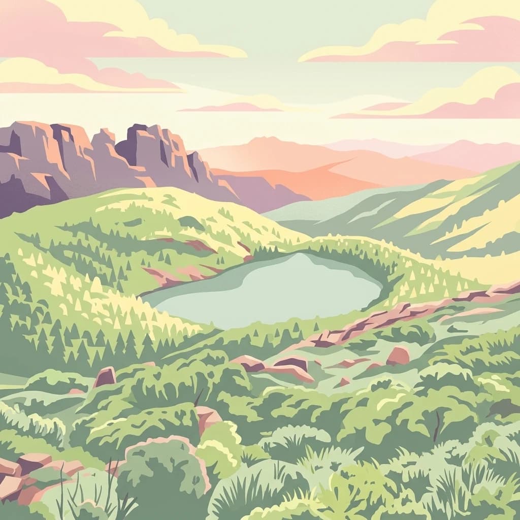
Hartz Mountains National Park
Mapped geography and regional landscape context.
Hartz Mountains National Park, in Tasmania, Australia. Landscapes: mountains, valleys, and cliffs.
- Area
- 71.4 km²
- Established
- 1939
- IUCN
- II
- Visitors
- 11.8K annual

National parkTasmania
32 km away#4 closest
Northeast
Tasman National Park: Discover Its National Park Geography and Protected Landscape
Explore mapped boundaries and regional context within Tasmania.
Tasman National Park represents a key protected area for exploration within Tasmania's distinctive geography. This page facilitates a detailed look at its national park identity, focusing on its mapped natural landscapes and its contribution to the protected area network of the Australian island state. Gain structured geographic insight into this significant conservation landscape.
- Area
- 107.5 km²
- Established
- 1999
- IUCN
- II
- Relief
- Mixed relief
Marine protected areaTasmania
48 km away#5 closest
Southwest
Tasman Fracture Commonwealth Marine Reserve: Mapping Deep Ocean Protected Landscapes
Offshore Tasmania marine habitat and seafloor geography overview.
Spanning over 42,500 square kilometres of deep ocean, the Tasman Fracture Commonwealth Marine Reserve protects diverse marine life and complex bathymetry off the south-west coast of Tasmania. Discover the geological significance of the Tasman Fracture itself and how the reserve supports deepwater hard corals, seabirds, and marine mammals within a transitional oceanic zone influenced by the Zeehan Current.
- Area
- 42,502 km²
- Established
- 2007
- IUCN
- VI
- Access
- Remote access
National parkTasmania
83 km away#6 closest
Northwest
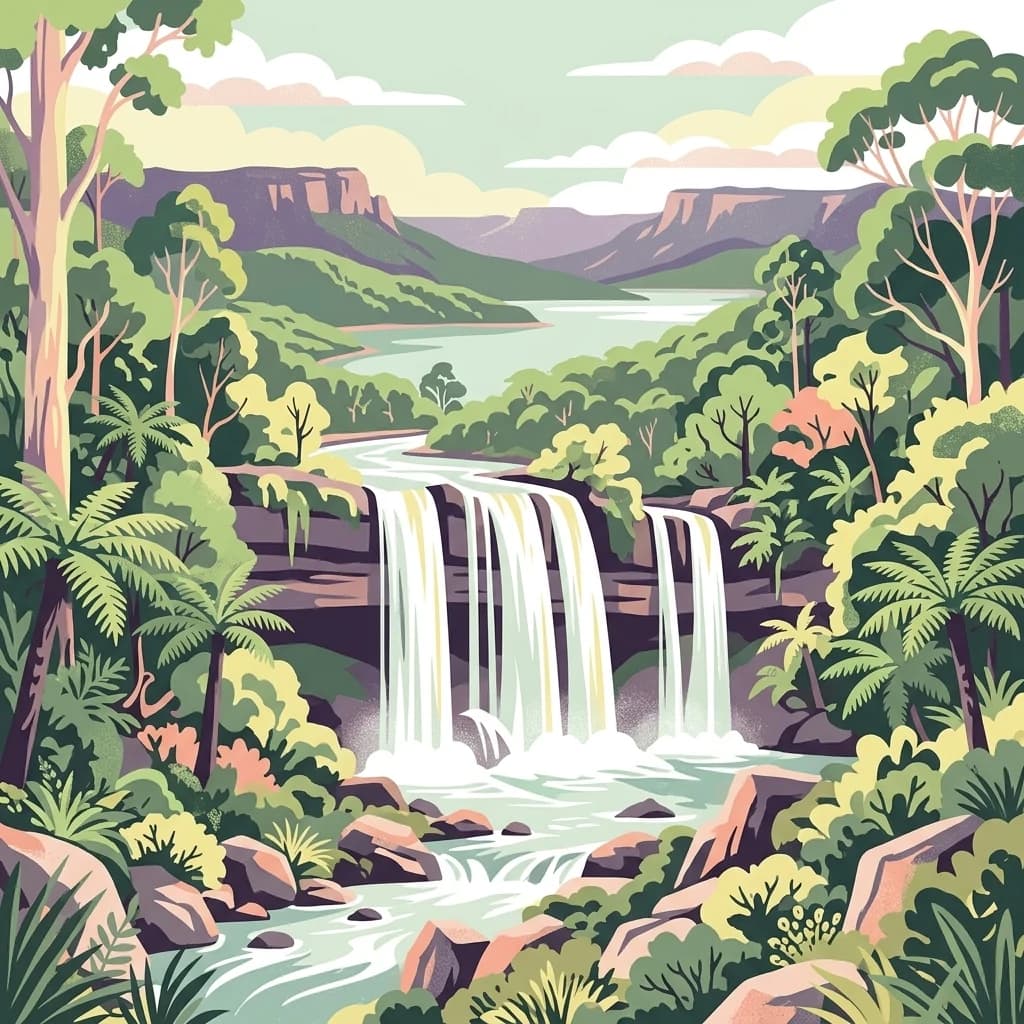
Mount Field National Park
Mapped terrain and regional atlas context for this Australian national park.
Mount Field National Park, in Tasmania, Australia. Landscapes: lakes, mountains, and valleys.
- Area
- 162.65 km²
- Established
- 1916
- IUCN
- II
- Relief
- Mountain
National parkAustralia
85 km away#7 closest
Northeast
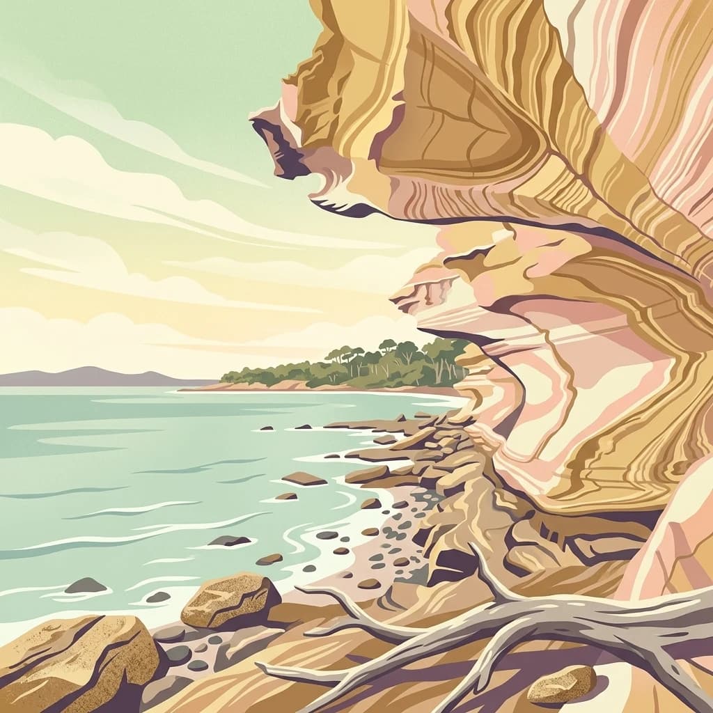
Maria Island National Park: Australian Protected Landscape and Geographic Discovery
Explore its mapped terrain and regional natural context.
Maria Island National Park represents a key protected landscape within Australia, offering dedicated content for geographic exploration. As a national park, it provides specific insights into its mapped boundaries, natural terrain, and overall landscape character. Users can delve into the geographic context of this protected area, understanding its unique position within Australia's atlas of significant natural spaces and conservation lands, fostering detailed discovery.
National parkTasmania
134 km away#8 closest
Northeast
Freycinet National Park
Mapped geography and distinct terrain of Tasmania's historic national park.
Freycinet National Park, in Tasmania, Australia. Landscapes: mountains, cliffs, and beaches.
- Area
- 169 km²
- Established
- 1916
- IUCN
- II
- Visitors
- 200K annual
MoriAtlas Explorer
Continue Exploring South Bruny National Park's Geographic and Landscape Details
Deepen your understanding of South Bruny National Park by delving into its specific geographic context and protected landscape features. This detailed exploration reveals the park's unique role within Tasmania's network of natural areas and provides valuable insights for any atlas or map-based geographic study. Discover the mapped terrain and regional significance that define South Bruny National Park, enhancing your appreciation of Australia's protected lands.
Browse next
Global natural geography
Explore related park routes
Explore MoriAtlas Global ParksBrowse All MoriAtlas ParksGlobal Park Map DiscoveryMoriAtlas: Browse All CountriesBrowse All MoriAtlas ContinentsNational Park Environment AtlasGrand Canyon National Park AtlasYellowstone National Park AtlasYosemite National Park Atlas and GeographySerengeti National Park AtlasGalápagos National Park Protected LandscapeBanff National Park Geography and AtlasKruger National Park Atlas EntryExplore Uluru-Kata Tjuta National Park GeographyPlitvice Lakes National Park AtlasFiordland National Park Protected LandscapeGreat Smoky Mountains National Park AtlasZion National Park Protected Landscape AtlasAfghanistan National Parks and Protected AreasAlbania National Parks and Protected AreasAlgeria National Parks and Protected AreasAmerican Samoa National Parks and Protected AreasAndorra National Parks and Protected AreasAngola National Parks and Protected AreasAntarctica National Parks and Protected AreasAntigua and Barbuda Park List