Mori Atlas logo
Park earthquake history

A comprehensive index of historical seismic events associated with this protected floodplain landscape.

Recorded Earthquake History and Seismic Records Near Stausee Niederried in the Canton of Bern

Explore a detailed record of seismic events identified within the vicinity of the Stausee Niederried protected landscape. This catalogue organizes historical earthquake data by date, magnitude, and epicentre distance from the reservoir and its alluvial river systems. Each entry provides insights into the seismic context of the Swiss Plateau by mapping proximity between recorded tremors and the local geography of the Aare and Saane confluence.

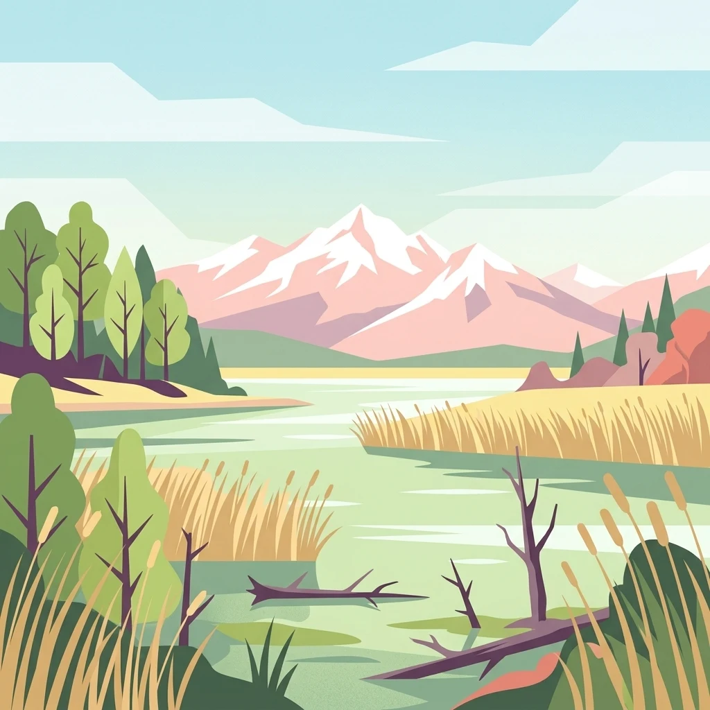
A flat vector-style illustration of a wetland lake with reeds in the foreground; deciduous and evergreen trees on the banks; and a series of snow-capped mountains in the background under a pale sky.

A Ramsar wetland at the confluence of the Aare and Saane, blending a hydroelectric reservoir, floodplain meadows, and riparian forests near Bern.

Stausee Niederried Protected Landscape

Stausee Niederried is a federally protected landscape in the Swiss Plateau, roughly six kilometers northwest of Bern at the confluence of the Aare and the Saane. It centers on an early twentieth-century hydroelectric reservoir and a four-kilometer stretch of river floodplain whose shallow waters, reedbeds, wet meadows, and alluvial forests form one of the most important waterbird habitats in Switzerland. The area has been protected in layers since the mid-twentieth century: first as a cantonal game reserve in 1956, then as a cantonal nature reserve in 1966, followed by inclusion in the Federal Inventory of Landscapes and Natural Monuments of National Significance in 1983. Today it carries both a Ramsar designation and Important Bird Area status, and remains one of the landmarks of Switzerland's floodplain conservation network. Beyond its ecological significance, the reserve is distinguished by striking geomorphology: the Runtigenfluh, the largest sandstone cliff along the Aare on the Plateau, rises sharply above the floodplain and provides orchid-rich pine forest on its dry slopes. The contrast between open water, marshy islands, and steep molasse walls gives the landscape a rare compactness that draws naturalists, cyclists, and walkers along routes connecting Bern, Aarberg, and the Jura lakes.

Location
Switzerland
Park type
Protected landscape
Established
1991
Area
3 km²
Highest point
580 m
Stausee Niederried Protected Landscape Map

Explore Stausee Niederried records by date and distance

Investigate earthquake observations near Stausee Niederried

Earthquake observations near Stausee Niederried are connected to the protected reservoir by mapped epicentres and calculated distance, not assumed to occur within it. Investigate dates, magnitudes, depths, locality labels, distance figures, and references without presenting reservoir or wetland qualities as seismic causes, rating current danger, or forecasting later events.

Sort by
Magnitude
Location

This page describes catalogued earthquakes associated with the park by epicentre location and distance. It does not establish causation, assess current danger, or predict future earthquakes.

No earthquake records match the current filters

Park atlas

Continue past Stausee Niederried earthquake history

Browse other parks and protected places beyond Stausee Niederried

Move from the Stausee Niederried earthquake section to a separate set of protected-area profiles; the source is a 2.97 km² terrestrial landscape in Switzerland with mixed relief, major waters, cliffs, forest, wetlands, lakes, and rivers. The onward selection does not promise the same designation, habitats, geography, earthquake coverage, source depth, or hazard conditions.
A horizontal watercolor illustration depicting rolling green hills, a winding lake shore, and distant mountains in a soft, muted palette.
Protected landscapeCanton of Bern
About 12 km away#1 closest

Northwest

Linkes Bielerseeufer Protected Landscape: Map and Regional Geography in Canton of Bern

Protected Jura lakeshore and vineyard terrain

Investigate the precise boundaries and varied micro-landscape of Linkes Bielerseeufer. This protected area showcases a dramatic rise from Lake Biel into the Jura range, encompassing karst topography, historic dry-stone terraces, and diverse forest ecosystems within the Canton of Bern.

Area
7.079 km²
Relief
Mountain
Climate
Temperate
Access
Easy access
A pale, abstract watercolor painting showing rolling green hills and distant mountain ridgelines on a white background.
Nature reserveCanton of Bern
About 22 km away#2 closest

Northwest

Combe Grède Nature Reserve: Geological Gorge and Protected Mountain Landscape in Bern

Folded Jura limestone terrain and biodiversity hotspots.

The Combe Grède nature reserve presents a striking half-cluse gorge carved into Cretaceous limestone. This protected area within the Canton of Bern showcases an instructive geological sequence, ancient pine stands, and diverse mountain habitats that span from shaded cliffs to alpine pastures.

Area
12 km²
Established
1932
Relief
Mountain
Climate
Temperate
A soft watercolor painting of a mountain landscape with rolling hills, pine forests, and a meadow in light green and muted earth tones.
Regional parkCanton of Bern
About 22 km away#3 closest

Southeast

Regionaler Naturpark Gantrisch: Protected Terrain and Map Exploration in Canton of Bern

A diverse transition zone from glacial moraines to high mountain ridges.

Spanning over 400 square kilometers, Regionaler Naturpark Gantrisch offers a unique look at the Swiss landscape. Its boundaries encompass everything from low-lying agricultural valleys and historic castles to the steep, forested gorges of the Sense and Schwarzwasser rivers and the high-altitude vistas of the southern Gantrisch mountain range.

Area
414 km²
Established
2012
Relief
Mountain
Climate
Alpine
A soft watercolor painting depicting a calm river winding through a green, hazy floodplain environment.
Nature reserveSolothurn
About 25 km away#4 closest

Northeast

Naturschutzgebiet Aare bei Altreu: Protecting Aare Valley Floodplains and Alluvial Forest

Riverine meander habitat in the Solothurn canton landscape.

Naturschutzgebiet Aare bei Altreu serves as a vital refuge for floodplain flora and fauna, standing out for its intact meander loops and silver willow gallery forests. Located in the Solothurn region, this protected area preserves a rare stretch of the Aare river ecosystem that contrasts sharply with adjacent canalized banks. Studying its terrain reveals the importance of alluvial corridors in maintaining wetland connectivity within the Swiss Mittelland.

Area
0.205 km²
Established
1992
IUCN
IV
Relief
Lowland
A soft watercolor painting of a river flowing through a green landscape with rolling hills and trees in the distance.
Protected landscapeKanton Bern
About 27 km away#5 closest

Southeast

Aarelandschaft zwischen Thun und Bern: Protected Landscape and River Corridor Geography

Mapping the floodplain remnants of the Aare river corridor

The Aarelandschaft zwischen Thun und Bern protects a unique corridor of riparian forest, wet meadows, and springs along the Aare river. Situated in the Kanton Bern, this landscape retains evidence of historic river engineering alongside ongoing restoration programs that reconnect vital lowland ecosystems. It stands as a significant natural corridor in a densely populated region, marked by its molasse hills and varied alluvial topography.

Area
10.4 km²
Established
1983
Relief
Lowland
Climate
Temperate
Watercolor painting of a green forested landscape with rolling hills under a soft pink and yellow sunrise sky.
Nature reserveJura
About 31 km away#6 closest

Northwest

Franches-Montagnes Nature Reserve: A Detailed Atlas of Jura Plateau and Peat Bog Geography

Protected karst limestone landscapes and highland pasture geography.

The Franches-Montagnes nature reserve spans a unique high plateau in the Swiss Jura, characterized by its complex karst substrate and iconic raised bog systems like the Etang de la Gruère. This protected area supports a mosaic of traditional wooded pastures and wetlands, serving as a primary site for understanding the intersection of human pastoral heritage and sensitive highland ecology.

Area
39.57 km²
Established
1977
Relief
Upland
Climate
Temperate
A pale, minimalist watercolor painting depicting rolling hills and mountains in shades of soft green, purple, and yellow against a white background.
Natural monumentNeuchâtel
About 37 km away#7 closest

West

Creux du Van et Gorges de l’Areuse Natural Monument and Regional Protected Landscape

Geological exploration of the Folded Jura and Areuse river valley

Spanning the Cantons of Neuchâtel and Vaud, this protected area unites the dramatic rock bowl of the Creux du Van with the narrow, cascading passages of the Gorges de l’Areuse. The site provides a comprehensive view of Jura mountain landforms, highlighting millions of years of river erosion, glacial activity, and karst weathering in a singular, well-defined geographic corridor.

Area
21.21 km²
Established
1876
Relief
Mountain
Climate
Temperate
A watercolor painting showing a panoramic view of layered rolling hills and mountains in purple, green, and yellow hues against a white background.
Protected landscapeSwitzerland
About 44 km away#8 closest

Southeast

Diemtigtal: Protected Alpine Landscape in the Bernese Oberland, Switzerland

Mapped valley geography and mountain terrain context

Explore the structured geography of Diemtigtal, a regional nature park in the Bernese Oberland. This valley landscape is defined by its enclosed U-shaped topography, the Niesenkette skyline, and a network of traditional settlements nested between mountain ridges and alpine streams. Gain insight into the protected boundaries and the distinctive terrain of this Swiss Alpine region.

Established
2009
Relief
Mountain
Climate
Alpine
Scope
Terrestrial
MoriAtlas Explorer

Continue Exploring the Stausee Niederried Protected Landscape and Floodplain Geography

Trace the diverse riparian corridors and sandstone formations that define this protected Swiss landmark. MoriAtlas provides a clear view into the geographic layout and conserved ecosystems of this important wetland reserve near the city of Bern.