
Mori Atlas logo
Park earthquake history

Explore a documented catalogue of regional seismic events associated with this mountain landscape.

Historical Earthquake Records and Seismic Data for Stirling Range National Park

Review a structured compilation of historical earthquakes documented within the proximity of Stirling Range National Park in Western Australia. This collection provides event details such as timing, magnitude, and epicentre distance relative to the park boundaries. Access this geographic record to analyze seismic patterns within the region's broader geological context without implying any inherent risk or future predictability for the protected landscape.

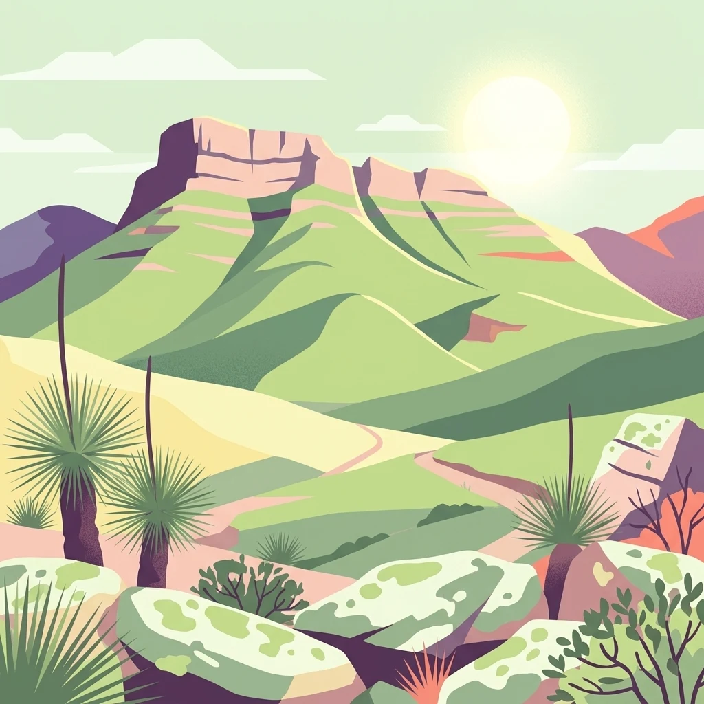
Illustration of Stirling Range National Park showing a mountain range with green hills, rocky formations, native vegetation, and a sunlit sky

Western Australia's ancient mountain landscape of exceptional biodiversity

Stirling Range National Park

Stirling Range National Park is a protected area in the Great Southern region of Western Australia, approximately 337 kilometres south-east of Perth. The park encompasses the Stirling Ranges, a dramatic chain of mountains and hills spanning over 65 kilometres from west to east, protecting one of the most botanically significant landscapes in Australia. Established in 1913, the park covers 1,159 square kilometres and contains Bluff Knoll, the tallest peak in the southwestern region of Australia. The ranges hold deep cultural significance for the Mineng and Koreng groups of the Noongar peoples, who have inhabited the region for tens of thousands of years. The park is renowned for its exceptional plant diversity, with over 1,500 flowering plant species including 87 species found nowhere else on Earth.

Location
Australia
Park type
National park
Established
1913
Area
1,159.2 km²
Stirling Range National Park Atlas

Navigate Stirling Range National Park events by distance

Browse recorded earthquakes near Stirling Range National Park

Recorded earthquakes near Stirling Range National Park are linked to the park through epicentre positions and calculated distances, not evidence of boundary occurrence. Browse dates, magnitudes, depths, location labels, distance data, and sources without attributing seismic causes to range or park characteristics, evaluating current hazard, or anticipating future activity.

Sort by
Magnitude
Location

This page describes catalogued earthquakes associated with the park by epicentre location and distance. It does not establish causation, assess current danger, or predict future earthquakes.

No earthquake records match the current filters

Park atlas

Continue after Stirling Range National Park earthquake records

Discover other parks beyond Stirling Range National Park

Stirling Range National Park earthquake records are followed by an independent assortment of protected destinations. Their inclusion does not denote common mountain ranges, national park standing, ecosystems, geology, seismic behaviour, geographic proximity, hazard exposure, risk, or matching evidence coverage.
Nature reserveWestern Australia
About 1.5 km away#1 closest

East

Yarrabee Wesfarmers Reserve: Mapping Woodland Conservation and Regional Geography

A vital protected nature reserve in Western Australia

Yarrabee Wesfarmers Reserve forms a significant link in the regional landscape of Western Australia, protecting marri and jarrah woodland adjacent to the Stirling Range. Through ongoing restoration, the area maintains a mosaic of mallee and Banksia habitats, supporting regional species and contributing to broader environmental connectivity.

Area
9.23 km²
Established
2006
Relief
Upland
Climate
Mediterranean
National parkWestern Australia
16 km away#2 closest

Southeast

Hassell National Park National Park: Mapped Protected Landscape in Western Australia

Explore the geographic identity and park boundaries of Hassell National Park.

Hassell National Park offers a focused view of protected natural landscapes within Western Australia. This atlas entry details the park's specific geographic scope and its designation as a national park, providing essential context for understanding its mapped features and regional landscape. Explore how Hassell National Park contributes to the protected area geography of the state.

Area
12.65 km²
Established
1971
IUCN
II
Scope
Mixed
National parkWestern Australia
20 km away#3 closest

South

Porongurup National Park: Ancient Granite Peaks and Karri Forest Protected Landscape

Mapped terrain and geologic history in Western Australia.

Delve into Porongurup National Park, a protected landscape in Western Australia characterized by its ancient, billion-year-old granite peaks and a rare outlier of towering karri forest. This national park offers a unique geographic perspective, showcasing dramatic mountain terrain that has stood for eons. Explore the mapped boundaries and the distinct ecosystems that thrive within this ancient mountain system, providing rich context for regional atlas discovery and understanding the park's geological significance.

Area
26.21 km²
Established
1971
IUCN
II
Relief
Mountain
National parkGreat Southern
34 km away#4 closest

Southwest

Mount Lindesay National Park: Australian National Park Protected Landscape Details

Explore mapped boundaries and regional geographic context in Great Southern.

Gain a structured understanding of Mount Lindesay National Park, a designated national park in Australia's Great Southern region. This detail view focuses on its protected landscape identity, mapped geographic features, and its place within the nation's network of conservation areas. Discover the specific terrain and regional atlas context that makes this park a distinct element of Australia's natural geography.

Area
395.73 km²
Established
2004
IUCN
II
Relief
Mountain
Nature reserveWestern Australia
36 km away#5 closest

East

Chereninup Creek Reserve: Geographic Identity and Protected Land Context

Explore the landscape and regional geography of this Western Australian nature reserve.

Chereninup Creek Reserve represents a key site within the Gondwana Link initiative of Western Australia. This nature reserve serves as an important ecological connection, featuring a diverse patchwork of eucalypt woodlands and Kwongan heath. Gain insight into its role as a protected area that restores former farmland into a continuous landscape for local flora and fauna.

Area
8.77 km²
Established
2003
Relief
Upland
Scope
Terrestrial
National parkWestern Australia
37 km away#6 closest

Southeast

Waychinicup National Park: National Park Protected Landscape Atlas Entry

Explore Western Australia's mapped natural landscapes and park geography.

Gain a structured understanding of Waychinicup National Park as a key protected landscape within Western Australia. This detailed atlas entry focuses on its geographic distribution and mapped boundaries, providing essential context for regional park and natural landscape exploration. Discover the unique characteristics of this national park's setting and its place within the broader mapped terrain.

Area
39.82 km²
Established
1990
IUCN
II
Relief
Mixed relief
National parkGreat Southern
42 km away#7 closest

Southwest

Mount Roe National Park: Detailed Protected Landscape and Geographic Exploration

Mapped boundaries and natural terrain of this national park.

Mount Roe National Park offers a distinct protected landscape for atlas exploration, situated within the geographic scope of the Great Southern region. This detail page provides a structured view of the park's mapped boundaries and its natural terrain. Understand how Mount Roe National Park contributes to the regional geography and the overall map of protected areas in Australia.

Area
1,278 km²
Established
2004
IUCN
II
Scope
Terrestrial
Nature reserveWestern Australia
48 km away#8 closest

East

Beringa Reserve Nature Reserve: Western Australia Protected Woodland Geography

Restoration landscapes and riparian corridors near Peniup Creek

Beringa Reserve serves as a significant private nature reserve in Western Australia, focusing on the restoration of eucalyptus woodland and mallee heath. This landscape acts as a functional buffer within the Gondwana Link, protecting riparian vegetation along Peniup Creek and fostering the recovery of native mammal habitats through intensive revegetation efforts.

Area
25.06 km²
Established
2007
Relief
Lowland
Climate
Mediterranean
MoriAtlas Explorer

Continue Stirling Range National Park Protected Area and Landscape Exploration

Further your understanding of Stirling Range National Park by continuing to explore its specific protected landscape features and mapped geographic context. This detailed view offers a deeper dive into its identity as a national park and its significance within the wider atlas of Australian protected areas. Discover more about the unique terrain and regional positioning that defines this essential natural area.

Global natural geography